
The turbid waters of the Gambia River are far more than a geographical fissure cutting across mainland Africa’s smallest nation; they form a liquid highway, a historical archive, and an indispensable lifeline for dozens of riverine communities. While contemporary maps prioritize asphalt and air routes, the true pulse of this country is measured in marine knots, unpredictable tides, and the steady drone of diesel engines aboard old cabotage vessels plying the waters from the Atlantic mouth to the eastern confines of Koina.
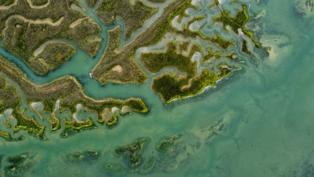
Understanding the logistics of this estuary requires abandoning the rush of modern tourism. Here, human mobility and cargo transport are inextricably bound to a natural cycle dictated by the Atlantic. When the tide rises, it pushes saltwater kilometers inland, transforming the landscape into a mangrove labyrinth where aerial roots defy high salinity. In this context, river navigation is not merely a scenic attraction, but the backbone of a subsistence and exchange economy whose essence has remained remarkably constant over the past century.
The Port Liturgy of Banjul and the Pier of Sighs
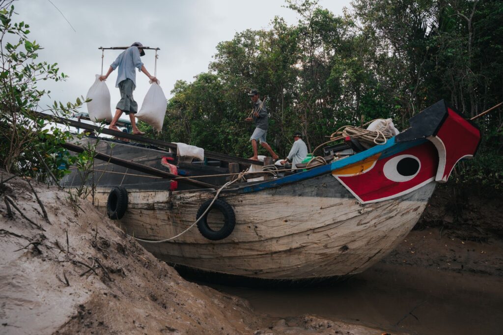
The journey begins at the port of Banjul, the insular capital where the Atlantic and the river engage in their daily combat. Early mornings at the main dock are a choreographed exercise in controlled chaos and precision. Stevedores, textile merchants arriving from Dakar, and farmers transporting sacks of peanuts—the nation’s historical cash crop—converge here alongside large international freighters.
Amidst this bustle, the ferries making daily crossings to Barra represent the most fragile and critical link in the national road network. This short route connects the capital with the densely populated northern region, sparing travelers a lengthy detour through Senegalese territory. However, high demand and the technical wear and tear of aging vessels turn every crossing into a test of patience and resilience for both passengers and port authorities managing thousands of daily commuters.
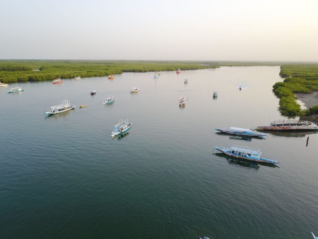
The Gambia River does not divide a nation; it unites it through an invisible network of currents, shared memories, and wooden hulls that withstand the test of time.
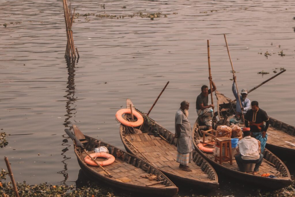
A few meters away from the commercial docks, local shipwrights and boatbuilders continue constructing traditional ceiba-wood pirogues. These hand-carved vessels, powered by outboard motors or lateen sails, function as the all-terrain vehicles of the river. Their hydrodynamic design enables navigation through shallow waters where larger ships would run aground, making them the essential nexus between major maritime channels and isolated settlements.
The Mail Boats: Living History on the Upper Reaches
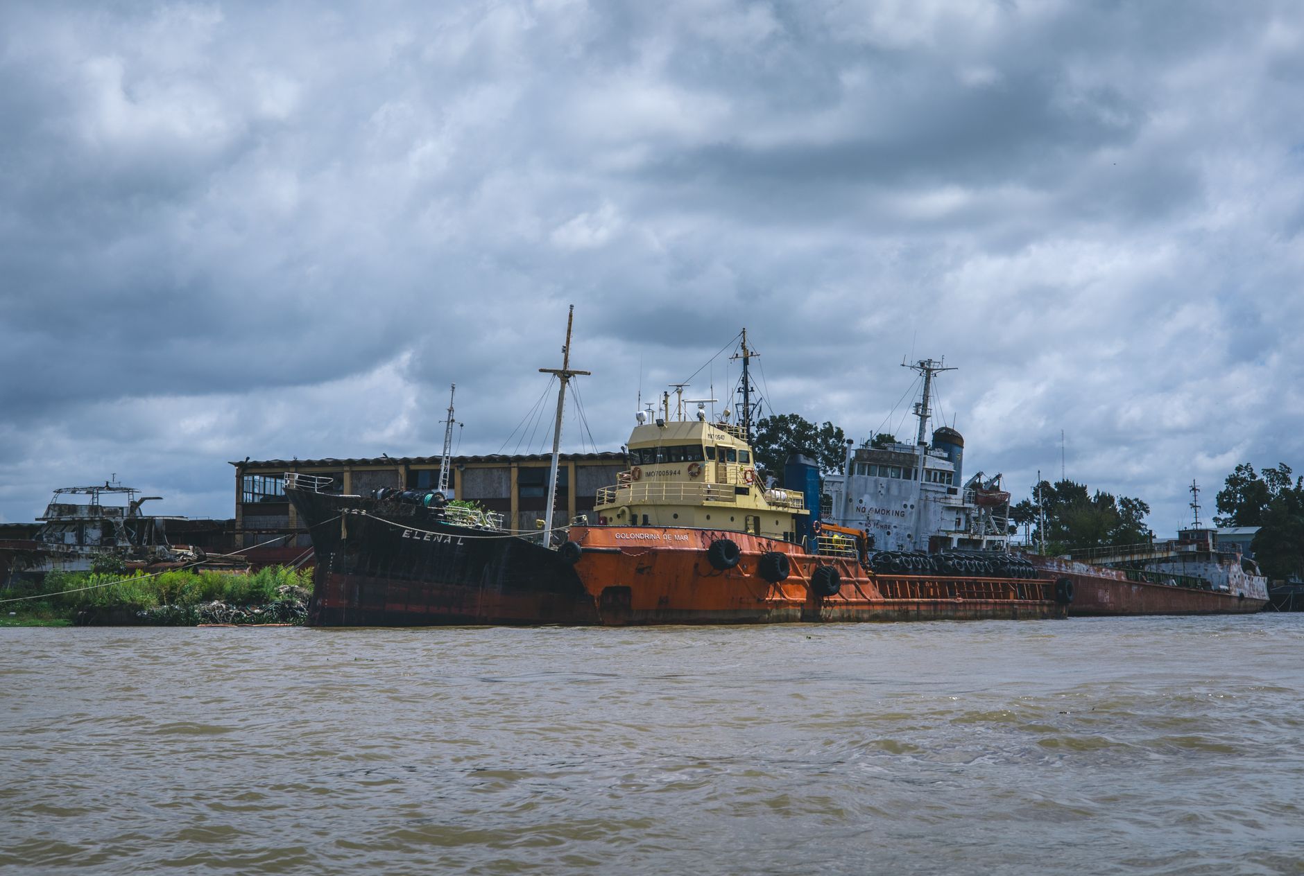
Beyond the estuarine zone, as salinity fades and the banks give way to wooded savannas, navigation assumes an almost nineteenth-century rhythm. This is the domain of the historic mail boats—fluvial vessels that for decades have served as floating hospitals, post offices, and public transport for riverside populations lacking paved roads.
Traveling aboard these vessels requires accepting a temporal framework where timetables are merely suggestions subject to water levels and cargo volume. At every stop—small wooden jetties crowded with women carrying mango baskets and fishermen with smoked catches—an unalterable social ritual unfolds. The exchange of mail, grain sacks, and local news turns the deck into a floating agora where regional politics, market prices, and weather forecasts are fiercely debated.
The sustainability of this river fleet faces monumental challenges today. Progressive silting in the upper course, exacerbated by deforestation in the highlands and climate change impacts on rainfall patterns, drastically reduces available draft during the dry season. This forces operators to constantly redesign routes and limit payloads, threatening the connectivity of entire communities entirely dependent on these journeys for medical and educational supplies.
The Invisible Network of Riverside Markets
Gambia’s river transport system cannot be understood without its symbiotic network of local markets situated along the river bends. Enclaves like Kaur, Janjanbureh—a former colonial island and administrative hub—and Basse Santa Su function as logistical nodes where cabotage routes and secondary land arteries converge.
In these hubs, the unloading schedule of cargo barges dictates the economic pulse of the week. Local merchants use the river to acquire manufactured goods imported via Banjul and, in turn, ship agricultural surpluses from the fertile alluvial plains back toward the coast. This pendular trade demonstrates remarkable economic resilience in the face of currency fluctuations and land infrastructure crises.
Nevertheless, a lack of investment in dredging and the modernization of secondary piers limits the growth potential of these trade routes. Reliance on obsolete infrastructure creates logistical bottlenecks that penalize smallholders, who frequently watch their harvests spoil at waiting piers due to the lack of swift, reliable transport.
Vernacular Architecture and Amphibious Settlements
Navigating the middle course of the Gambia River reveals an architectural and social typology profoundly shaped by fluvial dynamics. Riverside villages, inhabited predominantly by Mandinka, Fula, and Wolof communities, are structured to face the water. Mud-brick dwellings with thatched roofs alternate with newer concrete structures, all oriented toward communal docks.
Daily life in these settlements is inherently amphibious. Children learn to swim almost before they walk, and women utilize the banks for traditional fish processing and textile washing, taking advantage of seasonal currents. This symbiotic relationship with the aquatic environment has generated a rich intangible heritage of knowledge regarding tidal behavior, fish species, and sustainable freshwater resource management.
Despite relative isolation during flood seasons, these communities have successfully integrated mobile communication technology with traditional transport networks, coordinating mail boat arrivals and anticipating the marketing of agricultural goods in urban centers.
Connectivity Challenges and the Future of Inland Navigation
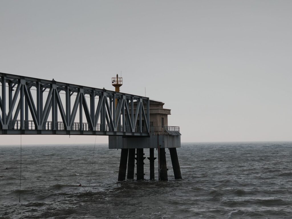
The Gambian government, in collaboration with international development agencies, has launched various initiatives to rehabilitate river port infrastructure. However, the technical complexity and high maintenance costs of navigable channels represent formidable obstacles amid budget constraints.
Regional integration with neighboring countries via the Organisation for the Development of the Gambia River Basin (OMVG) aims to enhance joint water resource management and improve energy and transport connections. Nonetheless, cross-border bureaucracy and differing investment priorities among member states slow the implementation of long-awaited projects designed to revitalize large-scale river trade.
For travelers and logistical analysts, the challenge lies in valuing this system not as a relic of the past destined for obsolescence, but as an alternative model of low-intensity mobility and high social cohesion, whose preservation remains vital to the nation’s identity and economy.
Practical guide
How to get there: Yundum International Airport in Banjul receives scheduled flights from major European and African capitals. From there, local taxis connect to the main port of Banjul.
When to travel: The dry season, spanning from November to May, offers the most stable conditions for river navigation and wildlife viewing in riverine national parks.
Transport logistics: To cross the estuary, the Banjul-Barra ferry operates daily, though early arrival is strongly advised due to high congestion. Journeys upriver on mail boats or chartered pirogues should be coordinated directly at the docks in Banjul or Janjanbureh with authorized local operators.
Accommodation: Community-managed eco-lodges are available along the riverbanks, particularly around Janjanbureh and River Gambia National Park, offering a respectful immersion in the natural environment.
Health and precautions: Yellow fever vaccination and malaria prophylaxis are essential. Travelers are advised to consume exclusively bottled water and take strict precautions against prolonged sun exposure on open decks.
Twilight over the Gambia River descends with solemn stillness, dyeing the muddy waters in copper and violet tones as the last diesel engine silences its drone at the wooden pier. Suspended between earth and tide in the gathering dusk, the traveler understands that this iron and salt labyrinth is not merely a transit route, but the living memory of a continent moving to the patient rhythm of its waters.