The Vertical Geography of the Archipelago and Its Mobility Challenge
The Lofoten archipelago, situated north of the Arctic Circle in Norway, rises above the Norwegian Sea like a wall of sharp granitic peaks emerging directly from dark waters. This rugged topography, where deep fjords slice into the mainland and mountains plunge steeply into the ocean, has historically turned transit into an exercise in engineering resilience. Far from flat, continuous continental transport networks, connectivity across these islands depends on a precise choreography between floating causeways, cantilever bridges defying marine currents, and scheduled ferries operating as the region’s economic and social backbone.
For centuries, isolation was the norm. Fishing communities depended exclusively on rowboats and sailboats to trade the coveted torsk (dried cod) with the mainland. Today, the transformation is monumental, but the essence of its isolation persists beneath a surface of modernity. Every kilometer of asphalt in Lofoten is the result of decades of excavation through living rock and the construction of embankments fighting the onslaught of arctic weather. In this territory, transport is not merely a means of getting around; it is the guarantee of survival for insular communities living to the rhythm of tides and northern winds.
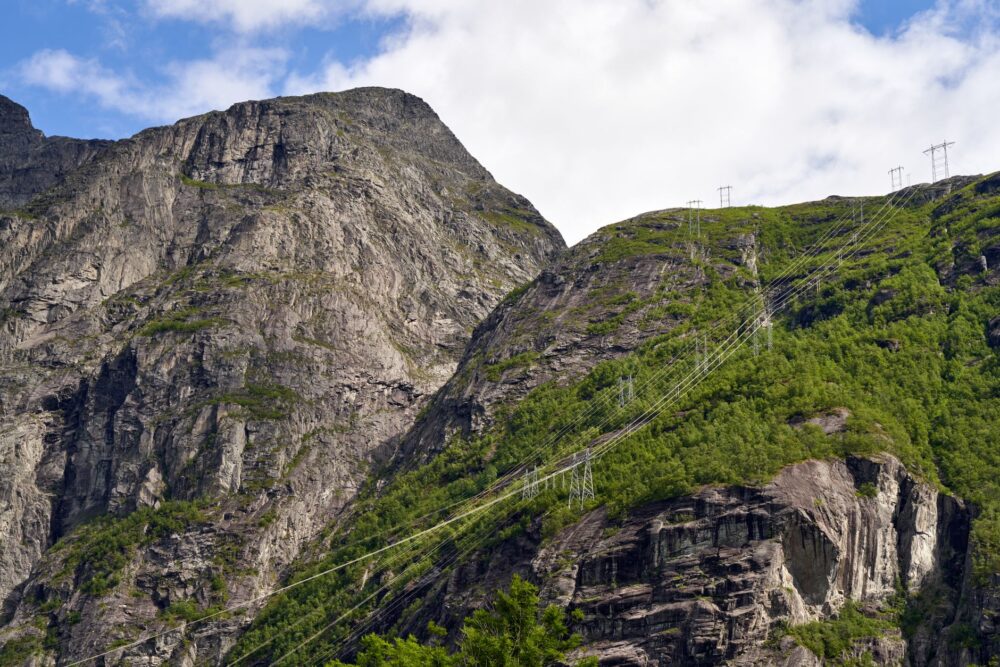
European Route E10, known locally as Kong Olavs vei, acts as the spine stitching the main islands—from Austvågøy to Moskenes—over more than 160 kilometers. However, this road is no conventional highway. It winds narrowly along the edge of dizzying cliffs, cuts through subsea tunnels where constant moisture drips onto the windshield, and intersects with sections exposed to winter gales, where local transport authorities enforce temporary closures for safety. The traveler traversing this road axis experiences a constant lesson in the fragility of human infrastructure against geological grandeur.
Cantilever Bridges and Subsea Tunnels: The Road Conquest
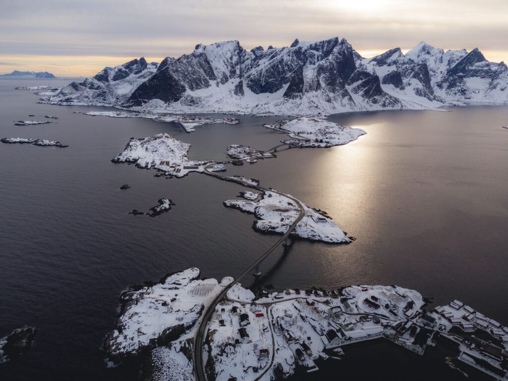
The physical integration of the Lofoten islands truly took off in the second half of the 20th century with the execution of the ambitious program known as Lofotforbindelsen. Before its implementation, jumping from one island to another involved unpredictable delays due to bad weather and exclusive reliance on local ferries. The technical solution adopted combined two main structural typologies: cantilever bridges capable of withstanding hurricane-force winds without collapsing, and tunnels excavated beneath the seabed.
The Gimsøystraumen bridge and the iconic Sundklakkstraumen bridge are masterful examples of how civil engineering adapted to the landscape. Their elevated arches allow fishing boats and coastal ferries to pass underneath, while their decks withstand the thermal stresses of a climate that oscillates drastically between the summer midnight sun and polar night darkness. Driving across these structures offers a sensation of suspension over the marine abyss, where the horizon line blends between the grey sky and the deep blue sea.
On the other hand, subsea tunnels have progressively replaced traditional ferries on short routes. The Festsund tunnel and the Svalengen tunnel descend several meters below sea level with steep eight percent grades. For unaccustomed drivers, the luminous transition and presence of condensed moisture demand extreme concentration. These underground galleries are true vital arteries carrying not only visitors’ cars but also heavy refrigerated trucks transporting fresh fish to European export markets in record time.

The true measure of engineering in the Arctic is not how much rock can be blasted, but how much dignity is preserved for those inhabiting the edge when the storm arrives.
The Ferry Network: The Unalterable Rhythm of the Sea
Despite the expansion of the road and bridge network, the sea continues to dictate its own rules. The ferry line connecting Bodø on the mainland with Moskenes at the southern tip of Lofoten is much more than a summer tourist route: it is the logistical umbilical cord supplying fuel, heavy cargo, and medical services to the most remote island municipalities.
Operated by companies such as Torghatten Nord, these double-ended ferries are designed to withstand colossal swells. Crossings across the Vestfjorden, a body of water famous for its rough sea and crosscurrents, test the skill of crews and the endurance of passengers. In winter months, when western storms batter the Norwegian coast with waves exceeding ten meters, ferry schedules become a variable subject to the daily judgment of captains, always prioritizing safety over punctuality.
The use of these vessels also reveals a clear intermodal hierarchy. Local residents receive priority boarding during peak tourist seasons, an essential regulatory measure to prevent recreational vehicles from blocking the supply of essential goods. For the attentive traveler, riding on the deck of these ferries reveals the human dimension of Norwegian maritime transport: warm lounges where filtered coffee is served, weather maps updated to the minute on screens, and the silent presence of local fishermen reading sky signs with the precision of modern navigation instruments.
Extreme Seasonality and Logistical Bottlenecks
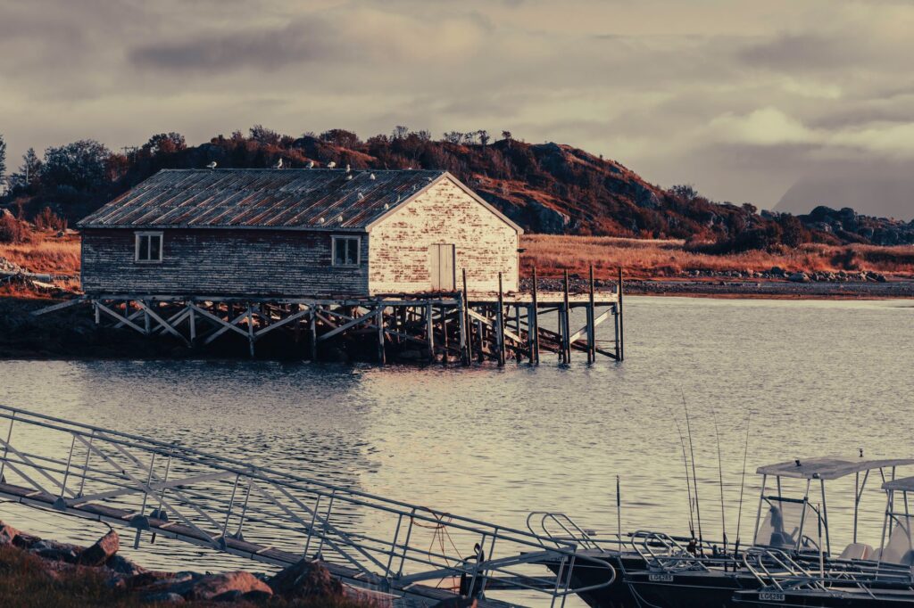
Lofoten’s connectivity undergoes a radical metamorphosis depending on the calendar. During summer months, secondary roads collapse under the weight of motorhomes, route cyclists, and rental vehicles. This phenomenon generates significant logistical challenges at critical points such as the Rørvikskaret tunnel or accesses to photogenic fishing villages like Reine and Å, where parking spaces are scarce and original road infrastructure was never designed to handle massive volumes of vehicular traffic.
Local authorities and the Norwegian Public Roads Administration (Statens vegvesen) have implemented traffic management measures based on establishing strategic observation platforms and widening road shoulders selectively, seeking a delicate balance between tourism promotion and the preservation of the fragile coastal ecosystem. However, the true test for the transport system arrives with late autumn and polar winter.

When the first heavy snows cover roads and gusty winds transform the E10 into an ice track, visitor flow drops drastically, but commercial activity must continue. Fish transport trucks rely on snowplow crews operating in continuous rotating shifts, escorting vehicle caravans through the most exposed mountain passes. In this scenario, road maintenance becomes a precision military operation, where any machinery failure can isolate entire valleys for hours.
Sustainable Transport and the Green Transition in the Fjords
In recent years, Lofoten’s transport system has immersed itself in a profound transformation toward decarbonization. Norway, a global leader in electric mobility adoption, has applied this guideline rigorously across the archipelago’s maritime and terrestrial routes. New ferries operating in local fjords combine hybrid propulsion with high-capacity batteries and fast-charging port systems.
This transition responds not only to ecological criteria but also to strict emissions regulations in protected natural areas and traditional fishing zones. The ferry terminals in Svolvær and Moskenes have been equipped with electrical substations capable of supplying the energy needed to charge vessels during brief docking intervals, drastically reducing noise pollution and carbon dioxide emissions in ecologically valuable marine environments.
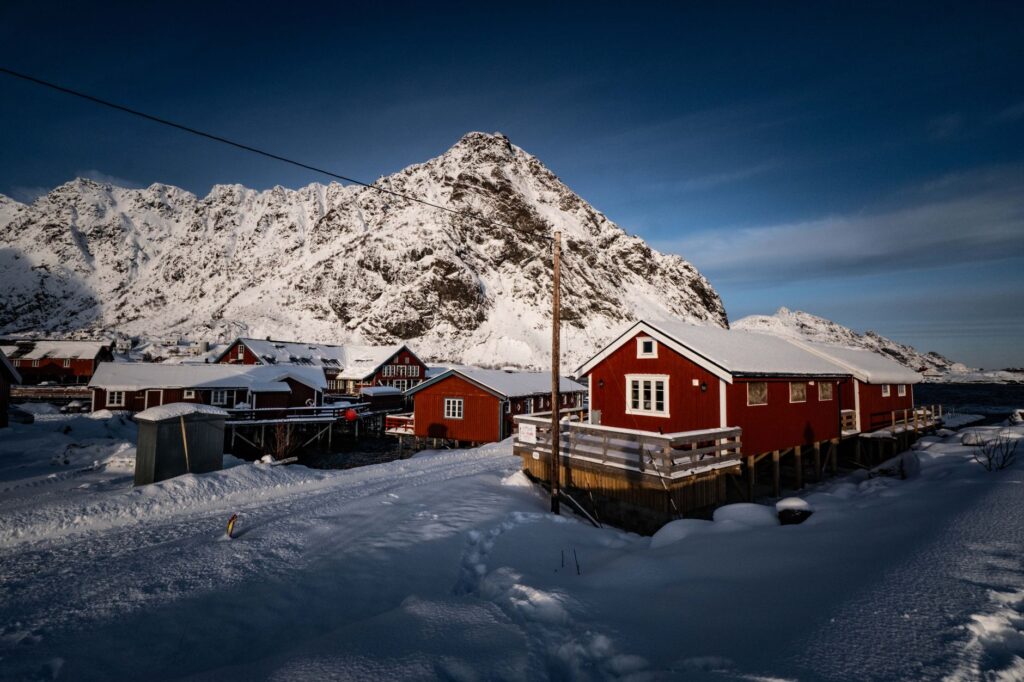
Concurrently, the circulating fleet of rental cars and interurban buses across the islands shows a very high electrification rate. Nonetheless, extreme low winter temperatures pose considerable technical challenges to car batteries, forcing public transport operators to plan secondary routes with strategically placed backup charging stations to prevent incidents in uninhabited areas.
Practical guide
Planning a trip or transit across the Lofoten archipelago demands rigor, foresight, and knowledge of the logistical particularities of its transport network.
- Main Trunk Route: The E10 highway is the indispensable road axis connecting the mainland from Bjerkvik to the village of Å. Completing its full route requires at least three days of leisurely driving to absorb the complexity of its detours and bridges.
- Ferry Management: For the route between Bodø and Moskenes, advance vehicle reservations through official operator platforms are mandatory during summer months. In winter, schedules can suffer sudden cancellations due to weather.
- Weather and Road Apps: Consulting official traffic services (Vegvesen Trafikk) and the Norwegian weather app Yr is mandatory before initiating any road journey between October and April.
- Electric Mobility: Traveling by electric car is well-supported with fast-charging networks in Svolvær and Leknes, but points decrease notably in insular extremes, so advance planning for every recharge is recommended.
- Parking Restrictions: In tourist locations such as Reine, parking outside designated areas is strictly prohibited. Fines for road obstruction are high and enforced rigorously by local authorities.
The Human Pulse at the Edge of the Arctic Abyss
Understanding Lofoten’s transport system transcends the mere collection of technical data about roads and ships; it involves assimilating the daily resilience of a population that has made geographic isolation its home. On winter dawns, when the sky illuminates with the flickering green of northern lights and the headlights of a fish truck pierce the Svolvær breakwater, the magnitude of the human effort uniting these islands becomes unmistakably clear. Every bridge, every subsea tunnel, and every ferry crossing represent a silent pact between technology and wild nature, a constant reminder that mobility at the edge of the world is, above all, an act of will and respect toward the territory.