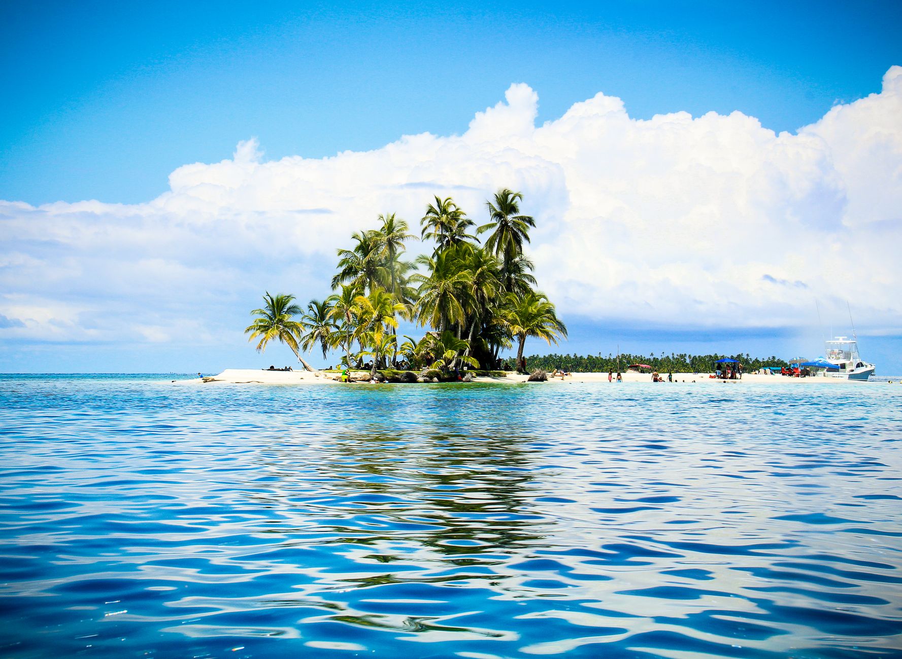

Introduction to the Caribbean labyrinth of Panama
The Bocas del Toro archipelago, situated on the western edge of the Panamanian Caribbean, represents one of the most complex and fascinating nautical settings on the American continent. This insular mosaic, composed of volcanic islands covered by tropical rainforest, impenetrable mangroves, and an intricate network of protected channels, demands a profound understanding of local hydrography and the changing meteorological patterns that characterize the intertropical belt. Unlike open ocean routes, navigating these waters involves mastering transit through narrow passages where coral reefs and shallow shoals require constant vigilance from the main deck.
Planning a catamaran traverse through this environment is not a mere recreational whim, but rather a technical exercise in logistical precision. The shallow depth of many cays, combined with the absence of massive port infrastructure on the smaller islands, forces crews to rely on their own energy reserves, water maker systems, and traditional methods of visual water reading. Far from the mass-marketed nautical circuits of the northern insular Caribbean, Bocas del Toro offers a living testament to the interaction between fragile marine ecosystems and ancestral coastal communities that have inhabited the estuaries for generations.
Nautical geography and oceanographic constraints of the region
The physical architecture of the archipelago is dominated by large coral formations that act as natural barriers against the energy of the open Caribbean Sea. However, the gaps between these reefs—known locally as bocas, such as Boca del Drago or Boca del Toro—channel currents and generate confused sea conditions when trade winds blow strongly from the northeast. The tide in this section of the Caribbean has an unusually low amplitude, rarely exceeding forty centimeters, but tidal currents driven by continental river discharges can reach considerable speeds in the narrow channels between Colón Island and Bastimentos Island.
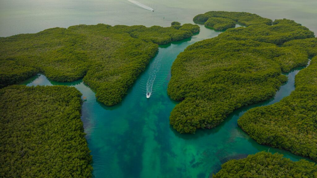
For a catamaran skipper, the choice of vessel is decisive. Multi-hulled boats offer a shallow draft, frequently under one meter, allowing them to approach mangroves and anchor in sheltered bays where deep-keeled monohulls cannot operate. Nevertheless, the generous sail area and beam of a catamaran require extreme caution against katabatic gusts descending unexpectedly from the nearby continental cordillera, where dense vegetation and orographic features cause sudden wind accelerations during tropical afternoons.
Tropical meteorology: Interpretation of trade winds and local squalls
The climate of Bocas del Toro is governed by the persistence of trade winds for most of the year, interrupted by periods of calm and violent convective storms associated with the Intertropical Convergence Zone. Navigators must learn to read the cloud formations accumulating over the volcanic peaks of the Talamanca mountain range. A cumulonimbus cloud with accelerated vertical development on the mainland is the undeniable prelude to a squall accompanied by gusty winds that can exceed thirty knots within minutes.
Horizontal visibility during these tropical downpours drops drastically, turning the approach to reefs into a high-risk maneuver unless updated electronic charts overlaid with attentive visual observation are available. Traditional paper nautical charts, while essential as backups, present inaccuracies in certain mangrove areas due to constant sedimentation washed down by the Changuinola and Sixaola rivers. Therefore, polarized visual navigation—capable of distinguishing water color changes according to depth and seabed composition—becomes the most reliable safety instrument on board.

Supply logistics and autonomy management on board
Embarking on a multi-day traverse through the outlying cays of Bocas del Toro requires rigorous planning of water and food resources. Although the main settlement on Colón Island features basic shipyards, mechanical workshops, and well-stocked markets, remote anchorages in Zapatilla or Cayo Coral completely lack land-based services. Modern catamarans equipped with reverse-osmosis water makers solve the freshwater supply, but checking the proper condition of pre-filters before setting sail is essential, as suspended organic matter in mangrove areas quickly clogs the membranes.
Fuel and fresh provisions must be procured at authorized docks in Bocas Town. Local fishermen cooperatives offer an excellent source of marine protein, highlighting spiny lobster and red snapper, whose direct acquisition supports the indigenous Naso and Ngäbe communities living on the periphery of the channels. Solid waste management represents another critical pillar; the lack of industrial recycling plants in the archipelago compels crews to store and compact all waste generated on board until proper disposal in facilities with adequate treatment capacity.
Anchoring maneuvers and protection of coral ecosystems
The seabed of Bocas del Toro is dominated by seagrass meadows, hard coral patches, and fragile staghorn and sea fan coral formations. Dropping the anchor indiscriminately over these structures causes irreparable ecological damage that takes decades to reverse. For this reason, environmental regulations by Panama’s Ministry of Environment mandate the use of ecological mooring buoys in high-sensitivity zones, such as Bastimentos Island National Marine Park, or the strict selection of clean sand bottoms for Spade or Rocna type anchors.
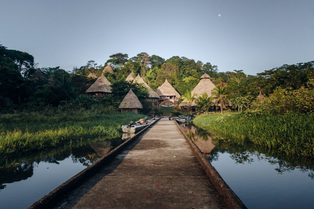
The fragility of the reef demands that every anchoring maneuver be visually supervised from the bow, ensuring that the anchor rests exclusively on sandy areas and never upon live coral heads.
During the night, winds frequently shift due to the land-sea thermal effect, causing catamarans to swing differently than traditional sailboats due to their greater windage. Calculating an adequate swing radius and verifying drift alarms via electronic instruments is imperative, especially in narrow channels where an anchor drag can place the vessel over reef shallows within minutes.
Recommended route: From Colón Island to the remote Zapatilla Cays
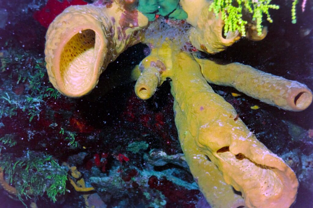
The classic expedition itinerary begins in the sheltered bay off Bocas Town, allowing navigation systems to be tested and the final weather check to be conducted. From there, the course is set eastward, crossing the Boquerón channel and entering the calm waters separating the mainland from the western coast of Bastimentos Island. This section offers excellent shelter from northern swells and allows observation of dense red mangrove forests whose submerged roots harbor extraordinary biodiversity of sponges and small crustaceans.
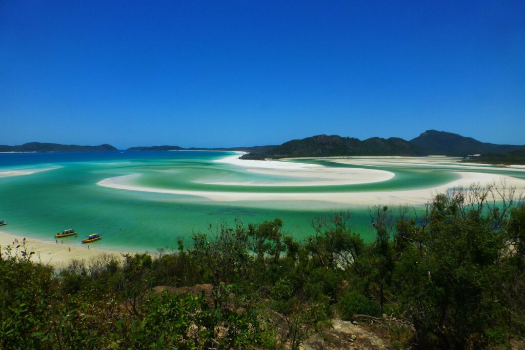
Continuing southeastward, the route leads into Cayo Coral, a narrow passage flanked by reefs where currents accelerate but offer exceptional underwater visibility. After anchoring with caution, the expedition can advance toward the Zapatilla Cays, twin islands crowned by white sand beaches integrated into the national park system. Approaching Zapatilla requires negotiating an outer reef barrier where breaking waves warn of shallows; the enabled passage is properly buoyed, but demands a safe speed under four knots and permanent visual watch from the flybridge.
Practical guide
How to get there: Access to Bocas del Toro is primarily via Colón Island International Airport (BOC), receiving daily flights from Panama City operated by local airlines such as Air Panama. Overland travel to the port of Almirante followed by a public or private speedboat transfer is also available.
Best time to navigate: Months between February and April, as well as September and October, typically record periods of lower trade wind intensity and calmer seas within the inner bay, facilitating catamaran navigation.
Requirements and regulations: Obtaining a navigation permit from the Panama Maritime Authority (AMP) is mandatory when operating a foreign-flagged vessel, alongside paying entry fees to Bastimentos Island National Marine Park at local Ministry of Environment offices.
Recommended equipment: Electronic cartography with high-frequency sounders, polarized sunglasses for seabed reading, oversized primary anchor with fifty meters of chain, dinghy repair kit, and autonomous satellite communication systems.
The silent pulse of mangroves at dusk
As the sun begins its precipitous descent behind the peaks of the continental cordillera, the water surface in the inner channels of Bocas del Toro adopts a metallic, mirrored texture. This is the moment when daytime breezes cease and the archipelago recovers its primordial cadence, oblivious to the hustle of conventional tourism. From the deck of the catamaran, anchored in the stillness of a cove flanked by aerial mangrove roots, the distant murmur of bottlenose dolphins patrolling the estuaries for nocturnal feeding can be heard. This liquid silence, interrupted only by the faint tapping of wildlife in the thicket of the floating jungle, caps a voyage where seamanship merges with absolute respect for one of the most delicate ecological sanctuaries in the American Caribbean.