
The extreme northwestern corner of the island of Great Britain harbors one of the last bastions of true geographical solitude on the European continent. The route leading from Fort William to the Cape Wrath lighthouse does not constitute a signposted footpath in the conventional sense, but rather a line of terrestrial navigation traversing endless bogs, uninhabited glacial valleys, and plateaus beaten by Atlantic gales. Unlike other commercial routes, this expedition demands absolute mastery of cartographic orientation and considerable psychological resilience in the face of the unpredictable meteorology of the Highlands.
For the traveler experienced in autonomous expeditions, understanding the geological and climatic nature of the Scottish northwest is the primary survival requirement. The formations of Lewisian gneiss, rocks exceeding three billion years in age, shape an abrupt yet eroded relief upholstered by deep peat bogs where every step requires a conscious evaluation of the ground. This report examines with technical rigor the natural infrastructure, logistical challenges, critical crossing points, and safety protocols necessary to successfully undertake one of northern Europe’s most demanding pedestrian routes.
The Anatomy of the Territory: Geography and Extreme Climatology
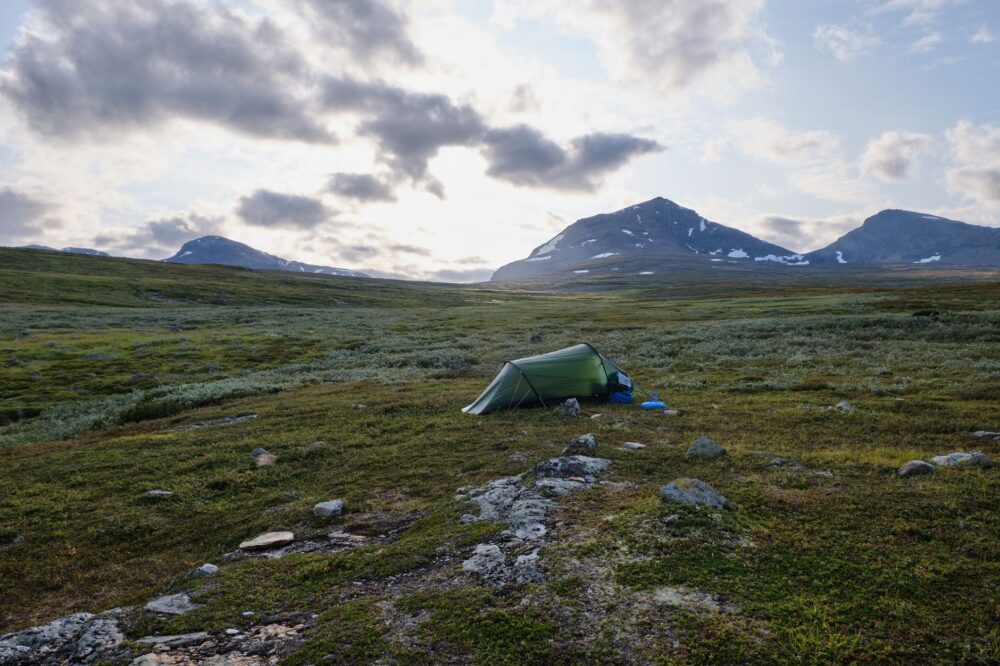
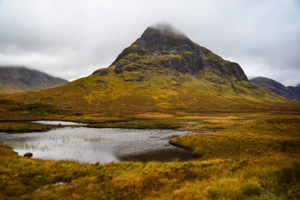
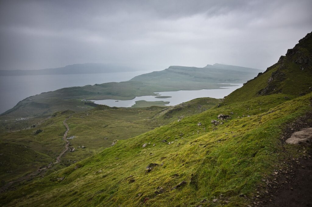
The landscape of the northwestern Highlands is defined by isolated steep-sided hills known as monadnocks that emerge abruptly from a sea of undulating moors. This fragmented topography prevents simple natural drainage, resulting in massive water accumulation in the form of bogs and shallow tarns known locally as lochans. The geography imposes a walking pace radically slower than that of traditional mountain paths due to the suction nature of the peat terrain.
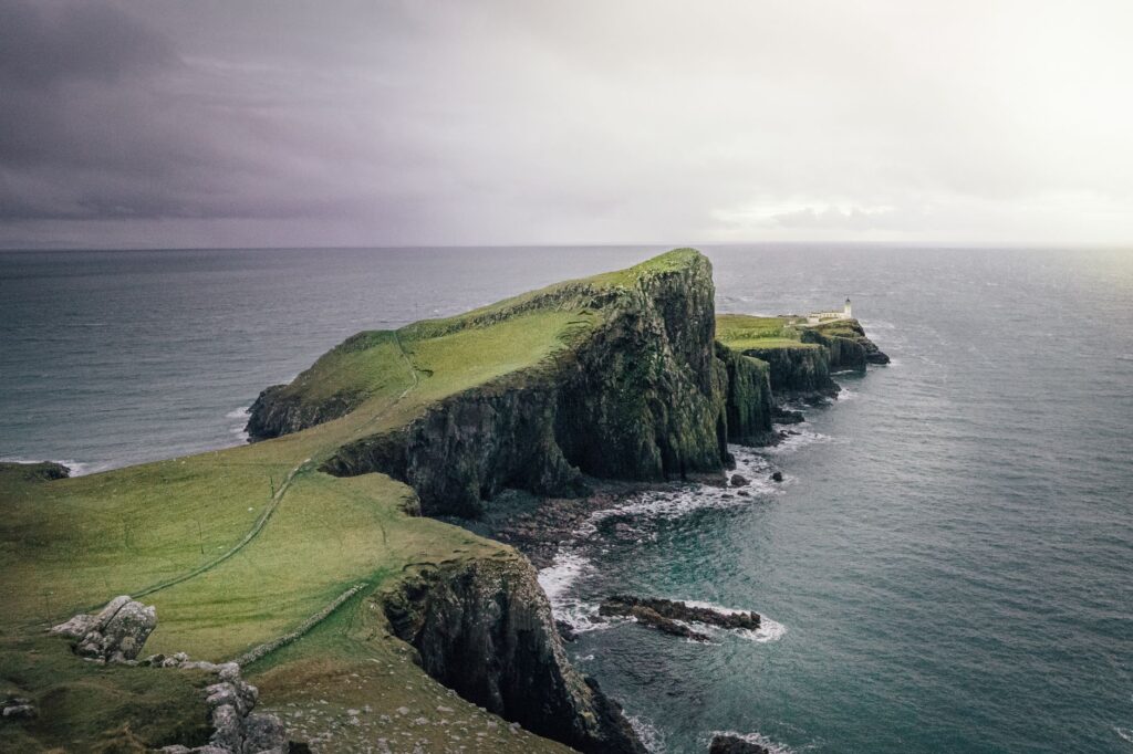
The region’s climatic patterns are dominated by North Atlantic low-pressure systems that dump constant precipitation throughout the year and generate gale-force winds without warning. Temperatures rarely reach high values even in midsummer, and the combination of ambient humidity, wind, and physical exertion multiplies the risk of hypothermia if protective gear is inadequate. Planning any itinerary must assume that local weather forecasts are merely orientative estimations and that self-sufficiency is the sole guarantee of safety.
Logistical Planning and Autonomy in Remote Terrain
Unlike trails endowed with a dense network of serviced refuges, the itinerary toward Cape Wrath lacks continuous commercial infrastructure. The mountaineer must carry everything necessary to survive during journeys lasting between ten and fourteen days of uninterrupted marching. This includes not only trail rations and ultralight shelter, but also water purification systems capable of eliminating parasites and organic matter suspended from plant decomposition in the peat bogs.
Load management is critical. Every superfluous gram in the pack translates into a loss of biomechanical efficiency when walking over unstable surfaces. Resupply sources are extremely scarce, limited to scattered rural settlements where local shops maintain basic inventories conditioned by the weekly arrival of land supplies. Consequently, intermediate resupply points must be coordinated months in advance or resolved by mailing advance parcels to isolated post offices.
Advanced Navigation Without Signage: Cartography and GPS
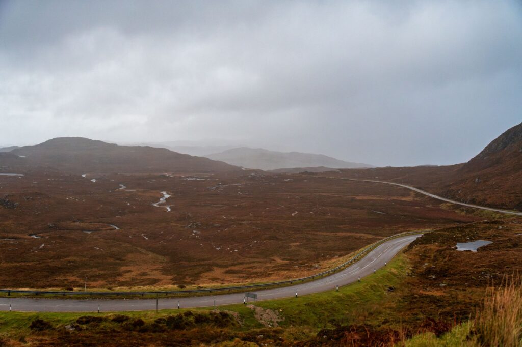
The Cape Wrath Trail features no waymarkers, painted blazes, or paths formed by the constant passage of tourists. The route exists on paper and across electronic navigation screens, but in the physical terrain it frequently vanishes. Trekkers must master baseplate compass use and topographic map reading at a 1:25,000 scale, especially under conditions of heavy mist or dense fog, phenomena that reduce visibility to mere yards in a matter of minutes.
While satellite navigation devices and global positioning systems (GPS) provide a valuable layer of security, exclusive reliance on electronic hardware in wet and cold environments constitutes a grave tactical error. Batteries discharge rapidly at low temperatures, and hardware failures are unpredictable. The waterproof paper map and barometric altimeter remain primary, infallible tools for plotting safe bearings across cols devoid of visual references.
The Hydrological Challenge: River Crossings and Spring Tides
One of the greatest objective dangers of the traverse lies in the numerous river and estuary crossings (known as kyles or sea lochs) that cut off passage northward. Watercourses like the Dionard River or streams emptying into Sandwood Bay can multiply tenfold within hours following heavy rainfall in valley headwaters. Attempting to ford these flows without assessing water velocity and exact depth is one of the most frequent causes of severe accidents in the area.
In addition to pluvial spates, Atlantic tidal influence decisively conditions coastal sections and navigable estuaries. Crossing the final estuary before reaching the terminal lighthouse requires utilizing local ferry services or achieving precise synchronization with the tidal cycle. It should be noted that local boatman services in these remote areas operate under variable schedules conditioned by sea states and maneuvering safety.
The wilderness does not negotiate with the traveler; it demands absolute submission to its physical laws, where prudence and self-reliance are the only valid passports toward return.
Footwear Management and Injury Prevention in Bogs
Walking for days with feet permanently damp stands as one of the toughest physical and psychological tests of the expedition. Footwear choice determines the journey’s success or failure. Rigid high-mountain boots, while useful for ankle support on rocks, easily accumulate water and hinder overnight drying. Many veteran expeditionaries opt for trail running shoes with excellent drainage and Merino wool socks, assuming their feet will remain wet from early morning onward.
Daily dermatological care prevents blisters and fungal infections derived from constant friction with acidic peat. Wearing high gaiters is indispensable to prevent mud and plant debris from penetrating footwear, accelerating skin wear. Likewise, marching pace must be steady yet moderate, avoiding the overload of knee and ankle stabilizing muscles during descents down slippery slopes.
Natural Shelters and Emergency Architecture
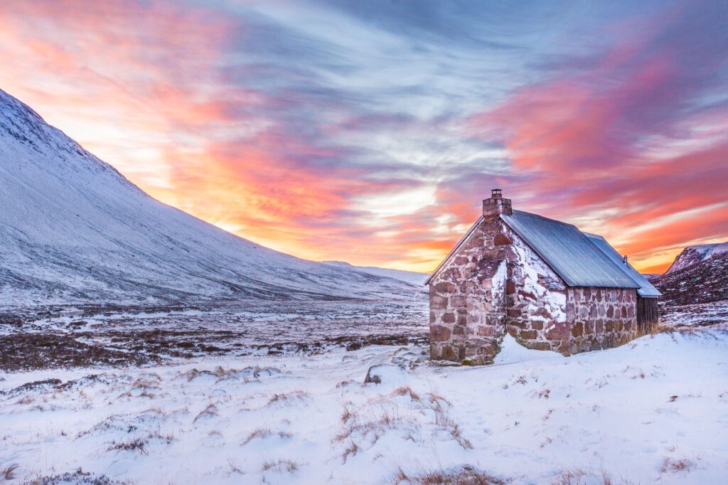
Along the route, the network of open shelters (known in the United Kingdom as bothies) provides a roof of great strategic value against severe storms. These stone constructions, maintained by Mountain Bothy Association volunteers, offer a dry space for cooking and resting, though they entirely lack padded bunks, electricity, or running water. Their use is subject to a strict ethical code obliging visitors to leave the place cleaner than found and to respect coexistence with other mountaineers.
It must be noted that relying exclusively on a bothy’s availability can prove risky, as capacity is limited and structures may be closed for repairs or overcrowded. For this reason, carrying a four-season tent capable of withstanding winds exceeding eighty kilometers per hour is a mandatory requirement. Campcraft must be impeccable, selecting drained soils and utilizing reinforced stakes to anchor shelters in soft, sandy terrain.
Practical guide
How to get there: The traditional starting point is Fort William, accessible via the West Highland Line trains from Glasgow. For the return from Cape Wrath, it is necessary to use the ferry service at the Kyle of Durness estuary (operational May through September, weather permitting) and connect with local buses toward Inverness.
Best time for the expedition: Optimal months span from late May to early September, a period offering longer daylight hours, lower mid-elevation snow incidence, and the seasonal opening of local transport services. Nonetheless, summer meteorological conditions remain highly unstable.
Mandatory equipment: Complete cartographic navigation system (Ordnance Survey 1:25,000 maps and compass), high wind-resistance tent, down sleeping bag with a comfort rating below zero degrees Celsius, membrane or chemical water purification system, advanced first-aid kit, and emergency satellite communication device (such as a PLB or inReach).
Permits and regulations: In Scotland, the Land Reform Act enshrines the right of responsible access to nature (Scottish Outdoor Access Code), permitting lightweight, low-impact camping on open land provided private property, livestock, and drinking water sources are respected.
The Ultimate Silence of the Far North
Upon reaching the rocky promontory of Cape Wrath, where the lighthouse designed by the Stevenson family oversees the perpetual clash between the Hebridean Sea and the Atlantic Ocean, the predominant sensation is not triumphant euphoria, but profound inner calm. The physical effort sustained for weeks dissolves before the immensity of the marine horizon, where kittiwakes nest on vertical dark schist cliffs. It is in that moment of ultimate silence that the traveler comprehends the true value of the traverse: an intimate, unadorned dialogue with the purest geography of the Old Continent.