Introduction to the Heart of the Scottish Highlands
Britain’s northern territory guards within its most ancient folds a route that defines the very essence of autonomous walking. The West Highland Way is not merely a pedestrian path linking the outskirts of Milngavie with the foot of the imposing Ben Nevis in Fort William; it represents the backbone of exploration on foot in Scotland. Spanning ninety-six kilometers, the route challenges the trekker with a constant transition between low-altitude grasslands, melancholic loch shores, glacial glens, and Atlantic-battered ridges. Understanding the magnitude of this itinerary requires abandoning any expectation of urban comfort and accepting the rules imposed by a proverbially unstable climate and unforgiving geology.
From a journalistic and historical perspective, the route utilizes old military roads built by General Wade in the 18th century to pacify Jacobite clans, combined with ancient drovers’ tracks and cart paths. Today, this historical infrastructure merges with a conservation ecosystem that protects ancient peat bogs and remnants of the Caledonian pine forest. Planning an expedition of this nature requires stripping the journey of all frivolity, focusing attention on physical endurance, accurate topographic map reading, and the meticulous selection of technical equipment. The Highlands do not forgive improvisation, rewarding the methodical walker with a deep communion with one of Western Europe’s most pristine landscapes.
The Geography of Solitude: From Milngavie to Conic Hill
The opening phases of the route start from the peaceful town of Milngavie, situated on the northern periphery of Glasgow. At this initial waypoint, marked by a granite obelisk, the traveler leaves behind the asphalt to enter a green corridor winding through farming estates, beech woods, and fields where black-faced sheep graze. The terrain is initially benevolent, allowing for an adequate organic warm-up before topographies begin to harden progressively. The opening days demand rapid adaptation to marching pace, monitoring pack weight, and checking the fit of boots against the constant dampness of Scottish soil.
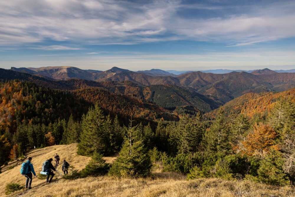
As the trail pushes northward, arboreal vegetation yields to open moorlands and views expand dramatically. The topographical landmark of this initial section is the ascent of Conic Hill, an elevation offering the first truly monumental panoramic view over Loch Lomond. From its summit, islands dotting the dark waters of the loch map out a perfect geological fault line—the Highland Boundary Fault—separating the southern lowlands from the northern mountain formations. This early climb tests the expeditionary’s cardiovascular capacity and anticipates the vertical nature that will dominate the remaining days.
The Aquatic Labyrinth: The Eastern Traverse of Loch Lomond
Flanking the eastern shoreline of Loch Lomond constitutes one of the most unique and technically demanding stretches of the entire route. Unlike the wide southern paths, here the trail turns into a narrow ledge carved into the rock, constantly rising and falling among twisted roots, slippery boulders, and dense woodland. This section is notorious for its lack of quick escape routes; once the march begins northward from Balmaha, the trekker remains confined between the mountain wall and the deep waters of the loch, forced to rely entirely on physical dexterity.
Managing balance on this damp terrain is crucial to prevent joint injuries. Moss-covered stones and slate slabs act as extremely slippery surfaces, even in the absence of direct rain. Water sources are abundant, but filtration or chemical treatment is mandatory due to the presence of livestock in the upper basins. In this sector, solitude is heightened by the constant sound of water trickling through foliage and the snapping of branches beneath boots, creating an atmosphere of introspection where physical exertion transforms into a form of moving meditation.
The Superb Desolation of Rannoch Moor
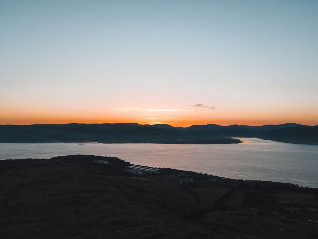
Having cleared the lake obstacle, the landscape undergoes a radical mutation upon reaching Rannoch Moor. This vast expanse of virgin peat bog and wetland represents one of Europe’s most important wetland habitats, transmitting a profound sense of absolute isolation. The trail crosses this desolate moorland over a carpet of sphagnum moss, reeds, and small dark tarns known locally as lochans. Here, the wind blows unhindered from the Atlantic, forcing the hiker to maintain absolute concentration on marching stability and hypothermia protection, even during summer months.
The true measure of an expedition in the Highlands is not calculated by the kilometers covered on the map, but by the walker’s capacity to maintain calm and technical rigor when northern weather decides to show its most severe and unforgiving face.
Walking across Rannoch Moor demands high-performance waterproof membrane footwear and robust gaiters, as a misstep off the wooden boardwalks installed by conservationists can sink a mountaineer knee-deep into deep mud. In the distance, the conic silhouettes of the Glencoe mountains act as distant lighthouses, reminding the expeditionary of the next major topographical challenge. This stretch highlights human vulnerability before geological vastness, reminding us that at these latitudes nature retains its sovereignty intact.
The Historical Shadow of Glencoe and the Ascent to the Divide
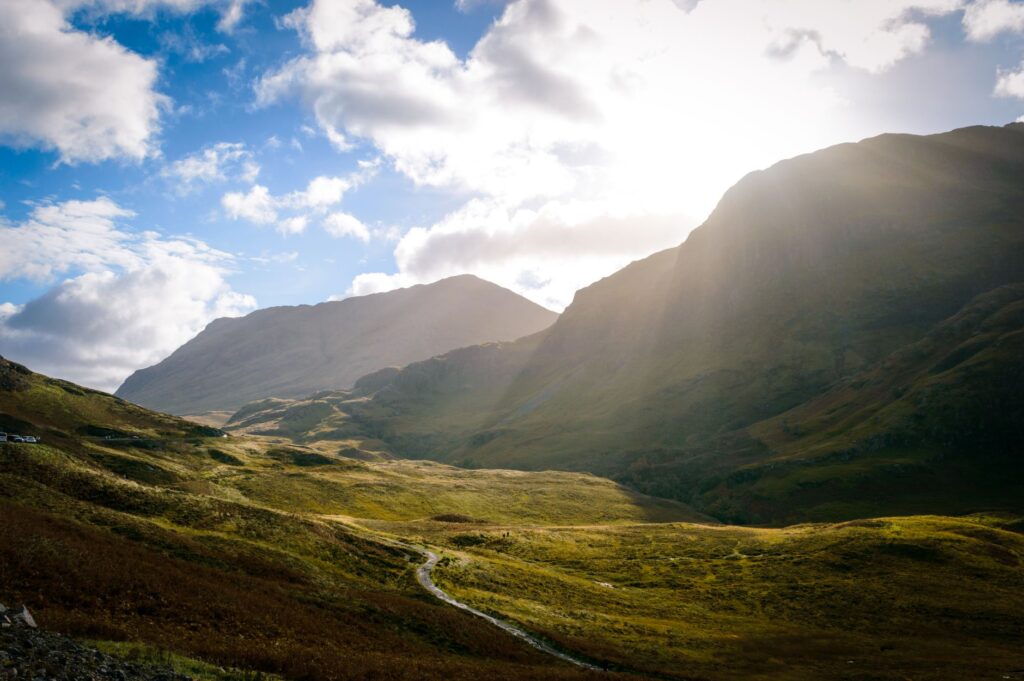
Passing through the valley of Glencoe introduces a tragic and deeply human dimension to the traverse. Framed by vertical basalt walls and peaks sculpted by ancient glaciers, this gorge was the site of the infamous 1692 massacre of the MacDonald clan. Today, the visual magnificence of the location contrasts with the historical gravity permeating the air. The trail runs along the base of these titanic formations, offering shifting perspectives of the Three Sisters—the towering rocky ridges dominating the valley that constitute one of Scotland’s mountain emblems.

Leaving Glencoe involves tackling the climb known as the Devil’s Staircase, the highest point of the entire route, situated at five hundred and fifty meters above sea level. Although the figure may seem modest compared to other European mountain ranges, exposure to wind and constant incline turn this stretch into a test of pure strength. From the summit col, the view encompasses the remote peaks of the Lochaber region, a sea of uninhabited summits stretching toward the northern horizon, announcing the proximity of the journey’s final stage.
The Final Straight Beneath the Bulk of Ben Nevis
The final days of the journey traverse wide valleys where rivers flow strongly toward the sea, utilizing old forestry tracks that facilitate more fluid progress. Accumulated fatigue after nearly one hundred kilometers of marching is offset by the transformation of the landscape into an environment of high alpine peaks. As the route descends toward Kinlochleven and skirts Loch Leven, vegetation recovers the intense green typical of areas sheltered from direct marine winds.
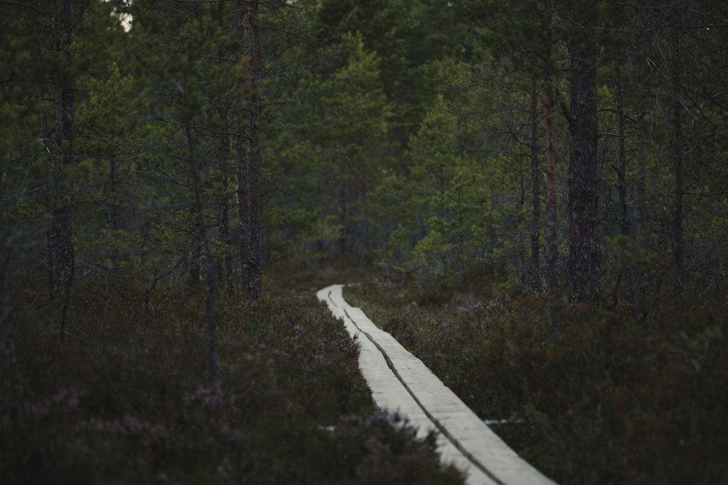
The expedition’s epilogue unfolds through glens flanked by birch forests and giant ferns, with the constant and dominant presence of Ben Nevis as a backdrop. The highest mountain in the British Isles rises imposingly, frequently concealing its summit among low clouds and swirling mists. Reaching the main street of Fort William and touching the final monument marking the official end of the route generates deep satisfaction, not from the conquest of a peak, but from the successful completion of a rigorous commitment to physical effort and self-sufficiency in the wilderness.
Practical guide
Planning the expedition requires logistical rigor, meteorological knowledge, and strict respect for local environmental conservation regulations and camping rules.
Best Time for the Expedition
The months between May and September offer the most favorable conditions, with May and June standing out for a lower presence of the dreaded highland midge and a greater amount of daylight hours. September offers spectacular autumnal hues, albeit with greater climatic instability.

Transport Logistics and Access
The starting point in Milngavie features direct rail connections from Glasgow Central station. For the return from Fort William, regular bus services and trains on the West Highland Line—considered one of the most scenic in the world—connect back to Glasgow.
Permits, Camping Regulations, and Refuges
On specific stretches, such as the eastern shore of Loch Lomond, strict camping management regulations apply between March and September, requiring prior acquisition of nominal fee permits. Along the rest of the route, the Scottish Outdoor Access Code allows for responsible wild camping under strict leave-no-trace principles.
Essential Technical Equipment
It is mandatory to carry trekking boots with high-traction soles and waterproof membranes, a three-layer system including a windproof and high-hydrostatic-head waterproof jacket, a fifty-to-sixty-liter backpack, a sleeping bag with a comfort range suitable for low night temperatures, telescopic trekking poles, and a reliable water purification system.