
The Liquid Threshold Between Two Worlds
Few marine passages on the planet command as much respect among experienced sailors as the Cook Strait. This arm of the sea separating New Zealand’s North and South Islands acts as a natural funnel where the relentless Tasman Sea converges with the vast expanses of the South Pacific Ocean. Crossing it under sail is not a routine coastal transfer, but a high-seas technical test that demands absolute mastery of local meteorology, a structurally sound vessel built for crossed seas, and a millimetric reading of tidal regimes. Far from the idyllic postcard imagery, the strait reveals itself as a dynamic, unforgiving, and profoundly beautiful corridor.
The complexity of the crossing lies in its underwater and terrestrial geography. Prevailing westerly winds, channeled and accelerated by the Southern Alps and the North Island ranges, transform into violent gusts locally known as the funnel effect. When these wind-driven currents crash against tidal streams reaching up to four knots of intensity, the result is a chaotic sea where waves multiply and shift direction without warning. Planning a passage in these waters requires stripping the voyage of any improvisation and submitting to the rigor of the marine almanac.
Oceanic Anatomy of an Impossible Passage
To understand the magnitude of navigation in the Cook Strait, it is essential to analyze its hydraulic dynamics. The tides off New Zealand’s western and eastern coasts are out of phase by approximately six hours. This level difference generates a colossal volume of water that must empty or fill through a channel barely twenty-two kilometers wide at its narrowest point. When these water masses meet over the shallow banks of the continental shelf, unpredictable surface currents form, capable of pushing even the most seasoned navigator off their planned heading.
Professional crews operating in the area agree that the safety window is exceptionally tight. Departing from sheltered ports like Wellington or Picton without perfect synchronization with tides and frontal depressions is sheer recklessness. Weather reports issued by MetService are not mere recommendations, but operational mandates. Katabatic wind gusts descending from adjacent fjords and valleys can double average speeds within minutes, demanding a preventive reefing plan before even casting off from the dock.
Pilotage Strategy and Wind Management
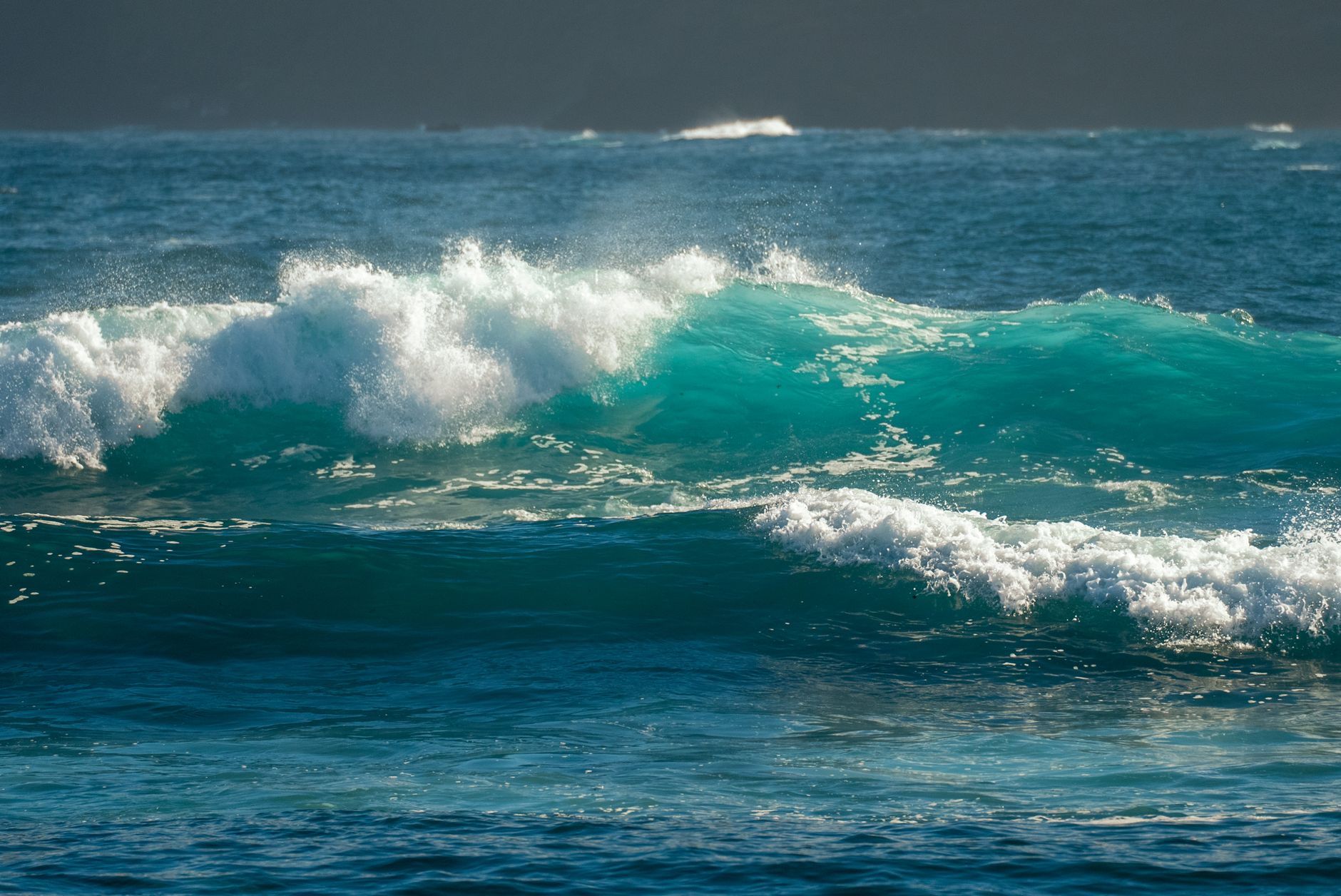
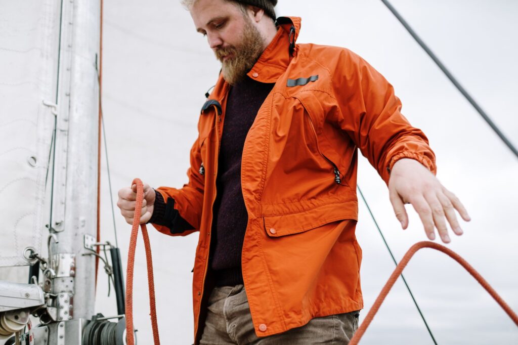
Handling a sailing vessel in the Cook Strait requires a crew mentally conditioned for watch rotas and constant horizon surveillance. Weather conditions shift with startling speed. A day of radiant sunshine and gentle breezes can transform, in less than an hour, into a gale with visibility reduced by sea spray and white-capped waves exceeding six meters in height. For this reason, the deck team must always prioritize structural stability over raw speed.
The golden rule in the strait is to anticipate the weather system through early reduction of sail area. Waiting for excessive heel before dropping the jib or putting a reef in the mainsail exponentially increases the risk of rig failure and crew fatigue. Furthermore, night navigation in these waters is strongly discouraged for novice sailors due to the intense activity of large commercial ferries and industrial fishing vessels crossing the traffic separation scheme without altering course.
The Cook Strait does not tolerate a sailor’s hubris; it demands humility before the elemental force of water and iron discipline in checking every piece of gear on board.
Route selection also plays a decisive factor. Depending on whether sailing north-to-south or vice versa, skippers must choose between the direct route—shorter but exposed to the highest current gradients—or coastal refuge routes, which allow gaining windward shelter under the cliffs of the Marlborough Peninsula or the headlands of the Wellington coast.
Port Infrastructure and Emergency Refuges
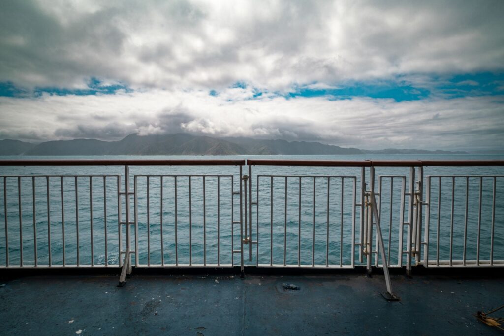
On both sides of the strait, a network of ports and anchorages serves as an indispensable staging ground for watering, refueling, or waiting out storms. At the northern end, Wellington Harbour, protected by its large natural basin, offers first-class facilities, though its gusty inner winds require double-engine docking maneuvers or crew assistance. At the southern end, the entrance to the labyrinth of the Pelorus and Queen Charlotte Sounds within the Marlborough Sounds provides a sanctuary of calm waters after the oceanic effort.
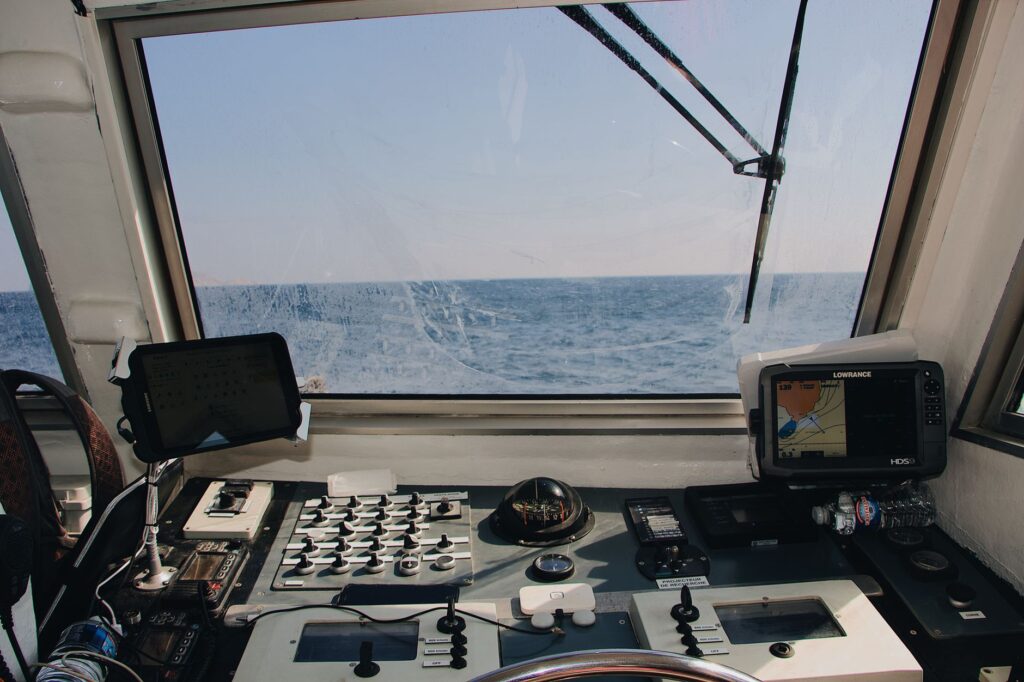
However, reaching these shelters is not always straightforward. The entrances to the southern sea inlets are marked by dangerous shoals, submerged rocks, and transverse tidal currents that act as traps for poorly handled vessels. It is imperative to have up-to-date nautical charts, redundant global positioning systems, and a calibrated depth sounder to monitor depth meter by meter during approach maneuvers on an ebb tide.
Logistics of Autonomy and Onboard Supplies
Self-sufficiency is a non-negotiable requirement for any extended voyage through the Cook Strait. Maritime rescue services, while highly professional and equipped with heavy helicopters, can take hours to reach areas far from the center of the channel if weather conditions prevent takeoff. Therefore, the pre-departure safety checklist must include satellite communication systems, operational and inspected Emergency Position-Indicating Radio Beacons (EPIRBs), and safety harnesses with jacklines firmly rigged on deck.
Provisions and fresh water must be calculated by multiplying the estimated passage time by two. In severe storm conditions, cooking on a gimbaled gas stove can become impossible, so it is advisable to carry easy-to-consume energy rations, accessible bottled water in the main cabin, and manual desalinization units in pristine operating order. Cold and damp fatigue is another invisible enemy of the navigator; having watertight foul-weather gear, merino wool thermal layers, and static cabin heating systems is vital for preserving decision-making capacity.
Practical guide
Rigorous planning for a sailing expedition across the Cook Strait requires following a series of contrasted technical and administrative guidelines to ensure crew safety and vessel integrity.
- Seasonal Windows: The austral summer months (December to February) offer the most stable thermal conditions, though western fronts remain frequent. Avoid winter (June to August) unless undertaking highly specialized expeditions.
- Official Weather Sources: Consult MetService coastal and oceanic bulletins daily, alongside Notices to Mariners issued by Maritime New Zealand.
- Documentation and Permits: Verify that the vessel holds valid international or coastal clearance, third-party liability insurance covering New Zealand territorial waters, and approved safety equipment complying with local maritime regulations.
- Charts and Electronic Aids: Carry paper backup charts and updated plotter systems loaded with the latest bathymetric data from Land Information New Zealand (LINZ).
- Main Refuge Ports: Wellington (Evans Bay and Queens Wharf) on the North Island; Picton, Havelock, and Nelson within the Marlborough Sounds complex on the South Island.
- Emergency Communications: Maintain continuous listening watch on VHF Channel 16 and log the passage plan with Coastguard New Zealand prior to departure.
Scrupulous respect for tides and gale warnings is the sole guarantee of returning to port without incident.
The Final Pulse of the Tide
When the crossing concludes and the keel finally slips into the calm, protected waters of the southern fiords or the wide basin of the capital, the sailor’s perspective changes irreversibly. The Cook Strait ceases to be a broken line on a paper chart and becomes an indelible memory of foaming crests, cold hands, and the subtle satisfaction of having conversed on equal terms with one of the wildest domains on Earth. In that quiet moment on deck, while securing halyards and stowing the mainsail, one realizes that the true value of oceanic sailing lies not in conquering the sea, but in learning to read its deep rhythm to become part of it, if only for the brief span of a tide.