

Introduction to the Atlantic Labyrinth of Guinea-Bissau
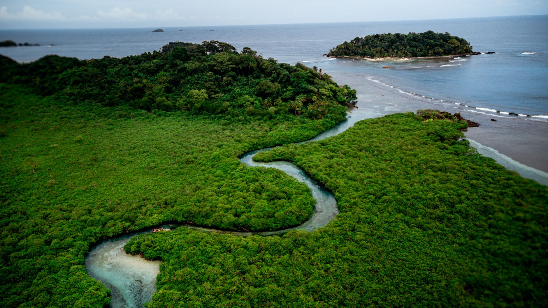
On the western edge of Africa, where the continent dissolves into a mosaic of mangroves, fertile mud, and tidal channels, the Bissagos Archipelago stands out as one of the most isolated ecological and cultural sanctuaries on the planet. This constellation of roughly eighty islands and islets, sculpted by the convergence of the Geba and Corubal river estuaries, represents far more than a natural paradise protected by UNESCO as a Biosphere Reserve. It is, above all, a complex system of insular connectivity where human survival has historically depended on mastering the reading of water, wind, and tides.
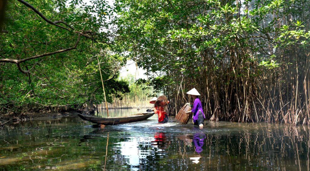
To understand the pulse of this territory, forgotten by mass tourism routes, one must delve into its aquatic logic. Here, paved roads connecting communities do not exist, nor do bridges defying ocean arms. The primary communication artery is composed of mangrove labyrinths whose geography changes radically every six hours. When low tide exposes vast black mudflats, navigation halts or turns into a risky enterprise of precise calculation. When high tide floods the channels, light vessels traverse the brackish waters, connecting an archipelago where the Bissaga ethnic group maintains an ancestral governance model based on absolute respect for the marine environment.
The Geography of Tides and the Challenge of Distance
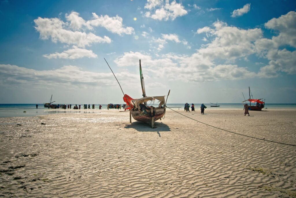
The rhythm of life in the Bissagos is dictated by one of the most pronounced tidal ranges on the West African coast. Differences in water level between low and high tide can reach up to five meters, completely transforming the visual geography of the archipelago within a few hours. What in the morning is a vast expanse of mud cut by thin threads of water becomes, by afternoon, an open sea that enables cabotage navigation between distant islands.

This geomorphological instability has forced the development of a transport infrastructure deeply adapted to the environment. Conventional ports are absent in most smaller islands. Instead, communities use natural landing sites formed by fine sand beaches or lateritic rock shelves that submerge and emerge alternately. Traditional dugout canoes, carved from entire trunks of large trees such as the kapok, act as the archipelago’s true scheduled buses, transporting passengers, sacks of rice, dried fish, and casks of palm wine between the islands of Bubaque, Orango, Bolama, and Caravela.
The Architecture of the Canoe: Ancestral Naval Engineering
Building a canoe in the Bissagos transcends mere carpentry; it is a communal ritual involving knowledge of silviculture, applied physics, and fluid dynamics. Local master boatbuilders select mature trees inland before dragging the heavy logs to coastal artisanal workshops. Using manual tools like traditional adzes and axes, they hollow out the interior with millimeter precision to achieve the perfect balance between buoyancy, lightness, and hydrodynamic resistance.
The design of these vessels has evolved subtly to meet the demands of open channels and strong Atlantic currents. Unlike river canoes used in mainland Guinea-Bissau, those intended for insular navigation feature slightly higher gunwales and a reinforced keel capable of withstanding impacts against hidden sandbars. Today, the gradual addition of outboard motors on some commercial boats has altered journey times, reducing what once required entire days of rowing and lateen sailing to mere hours, though human-powered canoes remain essential for artisanal fishing in shallow waters.
The Logistical Role of Bubaque as a Central Hub
Within the insular network, Bubaque Island functions as the administrative, commercial, and logistical epicenter of the archipelago. It is the only point with regular deep-water ferry connections to the mainland port of Bissau, the country’s capital. This maritime link, operated by cabotage vessels carrying essential goods and passengers, represents the umbilical cord connecting the local subsistence economy with the rest of the national territory.
Bubaque’s pier is a constant hive of activity during ferry arrival days. Bissaga traders, fishermen, local guides, and officials converge on a platform where everything from fuel drums to motorcycles and construction materials is unloaded. From this central hub, transport networks branch southward and westward via secondary canoes. The efficiency of this logistical chain depends entirely on marine weather; seasonal trade winds and sudden tropical storms can interrupt maritime traffic for days, temporarily isolating the most peripheral communities and underscoring the fragility of their communications.
The sovereignty of the Bissagos lies in its capacity to subordinate human time to the relentless cycle of the Atlantic Ocean.
Bolama and the Memory of Colonial Stone
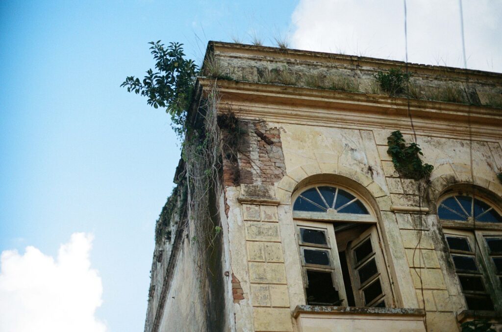
A few kilometers from the main routes lies Bolama, an island offering a fascinating historical counterpoint to the archipelago’s wild nature. As the former colonial capital of Portuguese Guinea in the late nineteenth and early twentieth centuries, Bolama today preserves monumental European neoclassical architecture that contrasts sharply with the surrounding tropical vegetation. Grand administrative palaces, wide tree-lined avenues, and noble stone piers lie in a state of melancholic abandonment, slowly devoured by fig tree roots.
From a connectivity standpoint, Bolama once played a strategic role as a stopover port for transatlantic flying boats crossing the ocean in the early decades of commercial aviation. Today, its historic port infrastructure survives as a silent witness to an era when the archipelago was a neuralgic point in imperial routes. For contemporary travelers, reaching Bolama in a light vessel requires precise tide coordination to dock at the old colonial pier, allowing a walking tour of a ghost town where modern African history directly engages with the silence of the mangrove.
Orango and Community Territory Management
Further south, the archipelago enters the Orango National Park, a territory where wildlife, especially rare marine hippopotamuses bathing in brackish waters, shares space with highly organized human communities. Here, connectivity is not merely a matter of physical mobility, but a fundamental pillar for cultural preservation. The islands of Orango are famous for their matrilineal social structure, where women play a central role in decision-making regarding land use, fishing, and natural resource management.
Travel between the islets of Orango Grande, Canogo, and Formosa relies on traditional routes strictly regulated by councils of elders. These customary ecological rules determine which fishing zones must be temporarily closed to allow marine stock recovery. In this context, the canoe is not just a means of transport, but a sacred element participating in rites of passage and funeral ceremonies, reinforcing the unbreakable bond between the inhabitants and the aquatic environment that sustains them.
Practical guide
How to get there: The main access to the archipelago is from the port of Bissau. Public ferries run to Bubaque Island with varying weekly frequencies, taking between four and six hours depending on sea conditions.
Internal transport: Mobility between smaller islands is conducted via motorized or paddle-driven canoes hired through local accommodations or fishermen’s cooperatives. Flexibility in the itinerary is essential due to weather and tidal fluctuations.

Accommodation: Hotel options are concentrated mainly in Bubaque and a few ecotourism islands like Rubane and Orango, featuring small lodges managed under community sustainability criteria.
Best time to visit: The dry season, spanning from November to May, offers the most stable conditions for navigation and wildlife observation.
The Final Echo of Brackish Waters
As evening falls, casting a deep red glow over the channels as the sun sinks into the Atlantic horizon, the silhouettes of canoes slowly return to the coastal villages. The water momentarily stills before the tide begins its new rising cycle, erasing footprints on the mud and renewing the silent pact between land and sea. In the Bissagos, travel ceases to be a mere geographical displacement and becomes a deep immersion in the primordial pulse of water, reminding the traveler that corners still exist where the world’s movement is dictated by the indomitable force of nature.


