Introduction to Insularity and Transport Corridors in the South Pacific
The geography of French Polynesia represents one of the most complex logistical challenges on the planet. Scattered across an oceanic area equivalent to the surface of Western Europe, its one hundred and eighteen island territories grouped into five archipelagos—Society, Tuamotu, Gambier, Austral, and Marquesas—depend on an extraordinarily precise transport infrastructure to maintain social cohesion, goods supply, and global traveler connectivity. Far from the romantic and static image often projected by tourism brochures, these islands operate under relentless technical discipline where every regional flight and maritime crossing responds to millimeter calculations of meteorology, fuel range, and preventive maintenance.
The core of this network is concentrated at Fa’a’a International Airport (PPT) on the island of Tahiti, which acts as the sole long-haul gateway and the neural center from which both international passengers and mail, perishable goods, and essential medical equipment are distributed. Understanding the mechanics of travel in this oceanic outpost requires examining the two fundamental pillars of its mobility: cabotage aviation operated by companies specializing in short runways on coral atolls, and surface navigation carrying heavy cargo and passengers across frequently turbulent ocean channels.
The Backbone of Regional Aviation: Aircraft, Runways, and Meteorological Challenges
Inter-island air transport in French Polynesia rests almost entirely on the turboprop fleet of Air Tahiti, the regional airline connecting Tahiti with more than forty atolls and high islands. Unlike continental routes, where aircraft capacity allows for considerable economies of scale, Pacific operators must deal with extremely limited runway lengths, many built on narrow coral strips amidst turquoise lagoons where operational error margins are minimal.

The backbone of this fleet consists of twin-engine turboprop aircraft specifically designed for Short Take-Off and Landing (STOL) operations, capable of landing on paved or compacted surfaces barely twelve hundred meters long. Pilots operating these routes must master the aerodynamics of crosswinds descending sharply from volcanic peaks or sweeping flat atolls without natural obstacles. Safety in Polynesian aviation does not depend on sophisticated instrument landing systems at every destination, but rather on the visual experience and expertise of crews evaluating changing weather conditions in real-time.
Air transport in French Polynesia is not a conventional commercial service; it is the vital artery connecting communities separated by hundreds of miles of open ocean.
In addition to runway limitations, the logistical planning of regional airlines is constrained by the absence of aviation fuel (Jet A-1) in many remote islands. This forces aircraft to load the fuel needed for round trips in Tahiti, reducing maximum passenger and luggage capacity on flights to more distant archipelagos such as the Marquesas or the Australs. This technical reality requires travelers to book months in advance and strictly adhere to hold weight restrictions.
Maritime Transport and Ferry Fleets: Heavy Connectivity Between Tahiti and Moorea
While aviation dominates medium and long-distance routes to remote archipelagos, maritime transport constitutes an indispensable circulatory system for nearby islands and general regional supply. The busiest maritime corridor in the territory is the seventeen-kilometer channel separating Tahiti from neighboring Moorea, operated daily by high-capacity ferries transporting foot passengers, commercial vehicles, delivery trucks, and heavy machinery.
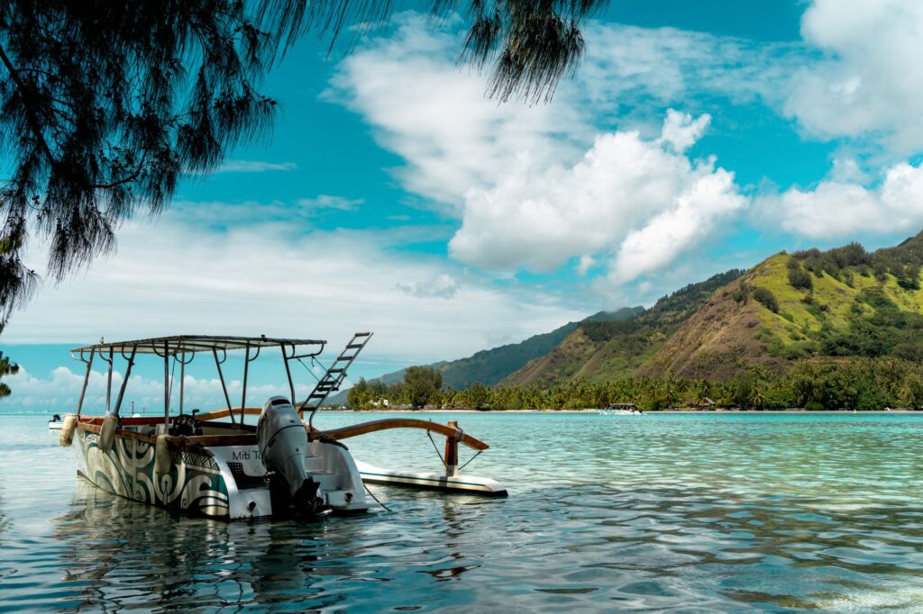
Companies like Aremiti and Terevau operate modern catamarans equipped with powerful marine diesel engines, covering the distance between Papeete and Moorea docks in approximately thirty-five to forty minutes. These vessels are designed to withstand the cross-swells of the Moorea strait, an area where Pacific Ocean currents collide with the insular platform, generating navigation conditions requiring stable hulls and advanced motion-damping systems.
- Departure frequency: Between ten and twelve daily round-trip sailings on weekdays.
- Cargo capacity: Vessels capable of accommodating up to six hundred passengers and over eighty vehicles on reinforced decks.
- Port infrastructure: Terminals adapted with hydraulic ramps for rapid loading of automobiles and heavy freight trucks.
Mixed Cargo Ships (Schom): Subsistence for Remote Archipelagos
For the islands of the Tuamotu, Gambier, and Marquesas archipelagos, the concept of connectivity acquires a completely different dimension through mixed cargo ships known locally as *bateaux mixtes*. Vessels like the Aranui 5 or local fleet ships fulfill an irreplaceable dual function: they transport tons of essential goods—from non-perishable food and construction materials to all-terrain vehicles and fuel—while housing passengers and travelers seeking deep exploration in specialized cabins.
The operation of these mixed cargo ships is governed by sea and tide rhythms, with itineraries often flexible to accommodate unloading needs at atolls lacking deep-water docks. In many of these destinations, the vessel must anchor outside the coral reef, and cargo and passenger transfer is carried out via motorboats and barges navigating with precision through narrow atoll passes where tidal currents reach dangerous speeds.
Peripheral Airport Infrastructure and Traffic Management in Atolls
The secondary airport network in French Polynesia is a testament to civil engineering adapted to extreme marine environments. Runways like those in Rangiroa, Fakarava, or Bora Bora are located on coral formations where salt corrosion, extreme heat, and constant humidity subject construction materials to accelerated wear. Local airport authorities constantly invest in maintaining asphalt wearing courses and lighting systems to guarantee safe operations by day and during rare emergency night flights.

Unlike major international airports, secondary island terminals are characterized by open-air architectural structures taking advantage of natural Pacific trade wind ventilation, featuring simplified security controls that remain rigorous regarding agricultural phytosanitary checks to prevent pest spread between islands. Coordination between local ground operators and flight crews ensures baggage and passenger transfer is carried out with remarkable efficiency despite facility simplicity.
Local Ground Mobility: Car Rentals, Road Networks, and Public Transit
Once a traveler lands on an island or disembarks a ferry, mobility challenges change scale while retaining specificity. On high volcanic islands like Tahiti or Raiatea, the main road network reduces to a paved coastal ring road skirting mountain bases, leaving the interior practically inaccessible to conventional vehicles due to steep slopes and dense tropical vegetation.
Public transport on islands like Tahiti has evolved from traditional wooden trucks (*le truck*) to modern bus fleets operated by private concessionaires, though timetables still adapt to local and school rhythms. On tourist islands like Bora Bora or Moorea, renting compact cars, electric bicycles, and scooters is the most efficient alternative for independent exploration, requiring constant driver attention regarding pedestrians, cyclists, and loose animals roadside.
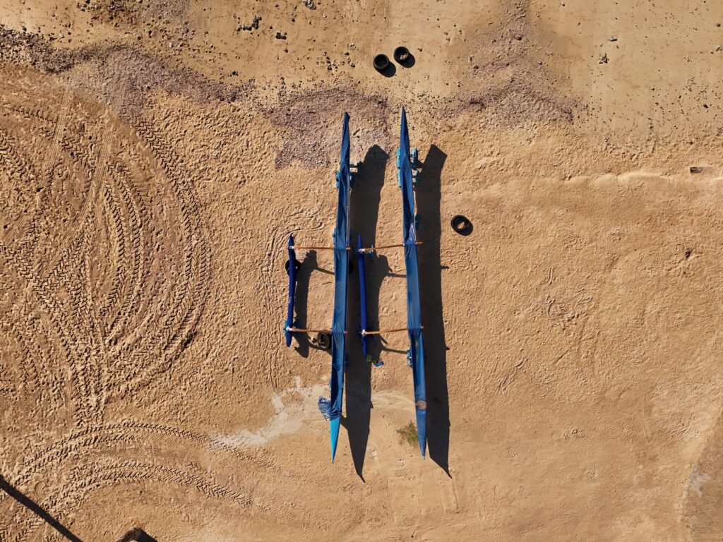
Road infrastructure in French Polynesia is a constant reminder of geography’s supremacy: roads carve their way between mountain and lagoon, narrow and vulnerable to coastal erosion.
On flat Tuamotu atolls, by contrast, the road network is extremely simple, often composed of compacted coral sand tracks connecting the airport with the main village and sparse resorts. Here, road maintenance requires specialized machinery to smooth surfaces following heavy tropical rainfall or storm surges.
Sustainability and Energy Transition in Polynesian Transport
The future of connectivity in French Polynesia faces an inescapable paradox: the necessity of maintaining and improving efficient transport for the insular economy while drastically reducing greenhouse gas emissions in a marine ecosystem highly vulnerable to climate change and sea-level rise.
In maritime transport, shipping companies are beginning to explore hybrid propulsion integration and lower-sulfur marine fuels in new catamarans. Meanwhile, main ports are implementing cold-ironing systems so ferries can shut down auxiliary engines while docked in Papeete, reducing noise and atmospheric pollution in coastal urban centers.

For regional aviation, operators closely examine advances in sustainable aviation fuels (SAF) and future viability of electric or hydrogen aircraft for short routes between neighboring islands. However, geographic isolation and high transport costs of these inputs to the South Pacific pose considerable logistical and economic challenges requiring long-term public subsidies and international strategic alliances.
Practical Information and Logistics for the Global Traveler
Planning a trip involving multiple journeys in French Polynesia requires organizational rigor and understanding of local operational constraints:
- Regional flight bookings: Multi-island air passes offered by Air Tahiti must be purchased months in advance, as turboprop aircraft seats are strictly limited and local demand is high.
- Baggage allowance: Unlike international routes, regional flights usually limit checked baggage to twenty kilograms per passenger, with strict excess fees due to aircraft payload limits.
- Maritime connectivity: Ferry schedules between Tahiti and Moorea may alter during the austral winter months (June to August) due to strong winds and high swells in the channel.
- Contingency management: Allowing at least twenty-four hours between island flights and the international return flight home is essential to hedge against potential weather delays.
Conclusion: The Delicate Balance Between Isolation and Connectivity
French Polynesia’s transport network is much more than a collection of air and maritime routes; it is the circulatory system sustaining life, culture, and economy of communities defying the immensity of the Pacific Ocean daily. From precise landings on narrow coral strips to nocturnal mixed cargo sailings to remote archipelagos, each infrastructure component reflects rigorous engineering, human adaptability, and respect for an incomparable natural environment. For the global traveler, understanding this complex logistical machinery not only facilitates journey planning, but deeply transforms perception of a territory where every movement is, in essence, a small feat of modern navigation.