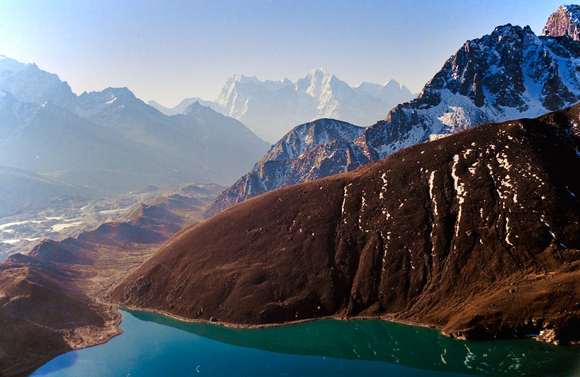

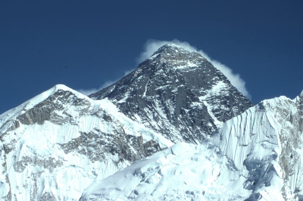
In the Solu-Khumbu district of northeastern Nepal, Sagarmatha National Park stretches across 124,400 hectares of young mountains, glaciers, and deep valleys. Its highest point, Mount Sagarmatha —Everest, 8,848 meters— dominates a landscape where altitude is not a data point but a way of life. Inscribed by UNESCO in 1979 and established in 1976, the park has long been more than a mountain destination: it is a living laboratory where nature and culture sustain each other.
To walk its trails is to cross ecological zones that shift with each day’s journey. Rhododendron and birch forests in the lower reaches, grazing meadows, glacial moraines, and permanent snow follow one another in a vertical gradient of nearly 6,000 meters. More than 6,000 Sherpas live across some twenty villages within this territory, their presence shaping the landscape as much as ice or wind.
A park where geology reads vertically
Sagarmatha National Park occupies the upper catchment of the Dudh Kosi River and borders the main Himalayan divide to the north, which marks the frontier between Nepal and China’s Tibet Autonomous Region. Seven peaks exceed 7,000 meters in addition to Everest, and their slopes feed glaciers that are the primary source of freshwater for communities in the area and for the lowlands downstream.
The region’s geology is young and active. Mountains continue to rise through tectonic collision while glaciers retreat, exposing unstable moraines. That dynamism explains both the spectacular scenery and its vulnerability. Deep valleys carved by powerful rivers create microclimates where vegetation clings to steep slopes.
Altitude in Sagarmatha is not a backdrop: it is the factor that organizes life, conservation, and the local economy.
High-altitude flora and fauna: adapt or disappear
The park’s wildlife has specialized in extreme conditions. The snow leopard roams ridges and canyons in search of prey such as the Himalayan tahr or the bharal. The red panda, also known as the lesser panda, inhabits the park’s high forests, finding bamboo and shelter among dense vegetation. Both species rank among the region’s most emblematic and their presence signals ecosystem health.
Vegetation is organized in layers. Below 4,000 meters, rhododendron, birch, and juniper forests dominate. Higher up, alpine meadows and low shrubs appear. At the highest elevations, only lichens and mosses withstand the cold. This gradation makes the park a key biological corridor for species that migrate seasonally between valleys.
The park shares ecological borders with other protected areas: Makalu Barun National Park to the east, Gauri Shankar Conservation Area to the west, and the Qomolangma Nature Reserve on the Tibetan side. This mosaic of protections reinforces habitat integrity and facilitates wildlife movement across territories.
Sherpa culture: conservation woven into daily life
Sherpa presence in the Khumbu Valley dates back several centuries. Their culture, rooted in Tibetan Buddhism, includes practices that have favored conservation: restrictions on hunting, reverence for all living beings, and community-based management of natural resources. These values are not folklore: they are management tools that the park recognizes and leverages.

Most Sherpas living inside the park engage in subsistence agriculture and trade, activities that the park’s legal framework excludes from protected property to limit their impact. Even so, the relationship between communities and conservation is not without tensions. The rise in tourism has transformed the local economy, improving access to health, education, and infrastructure, but it has also increased pressure on fragile resources.
Local committees and shared management
The park has an Advisory Committee that includes local leaders, village elders, head lamas, and representatives of the park authority. Buffer Zone Management Committees and User Committees also work on sustainable resource management. This co-management model is one of the pillars of conservation in Sagarmatha.
The tourism challenge: between livelihood and footprint
Visitor numbers have grown notably since the park’s creation. In 1979, around 3,600 visitors were recorded; by 2010, the figure exceeded 25,000. That increase has boosted the local economy but also brought problems: illegal trail construction, resort development, energy demand, and growing waste generation.
Garbage is one of the main obstacles. The Sagarmatha Pollution Control Committee, a community-based NGO headquartered in Namche Bazar, works on waste management with support from agencies and coordination from park authorities. Yet proper waste disposal remains a challenge, especially at higher altitudes where logistics are complex.
Demand for firewood for heating and cooking has degraded part of the mountain forest. Some micro-hydro projects have begun offering alternatives, but their reach is limited. The park has also had to halt development projects, such as the expansion of Sanboche airport, to protect endangered habitats and species.
Conserving Sagarmatha is not about freezing the landscape but about managing the relationship between those who inhabit it and those who visit.
Water, glaciers, and climate change
The park is a crucial source of glaciers that feed the Dudh Kosi system and provide freshwater benefits to downstream populations. Glacial retreat and climate change are growing concerns. The park’s priorities include monitoring their impacts on flora, fauna, and Sherpa communities.
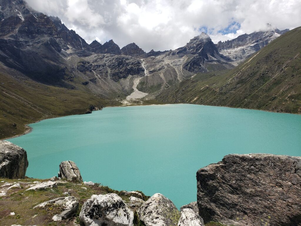
In 2007, the Gokyo lakes and associated wetlands were designated a Ramsar site, additional recognition of the area’s ecological value. The snow leopard’s recolonization of the park is seen as a sign that the habitat remains suitable for both prey and predators.
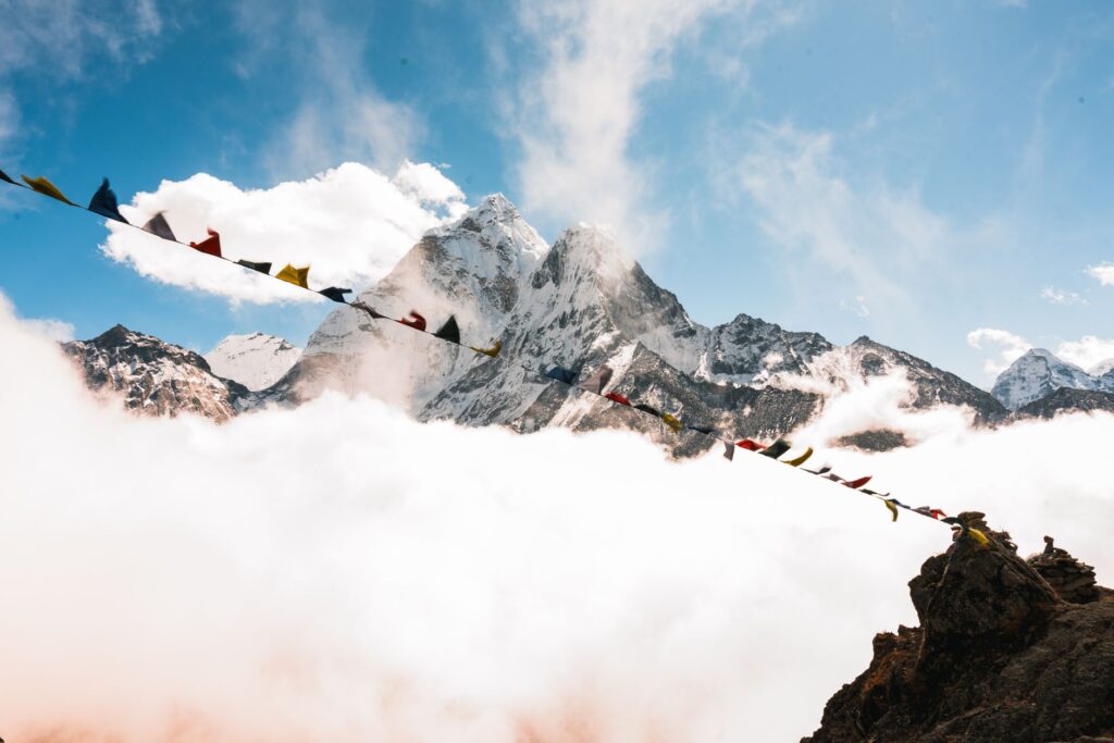
Global warming also affects communities: shrinking water sources, unstable slopes, and changing cultivation patterns. Science and local knowledge combine to adapt to an environment that is no longer what it was decades ago.
What a responsible visitor can do
Visiting Sagarmatha requires physical preparation, progressive acclimatization, and respect for park regulations. It is not just about reaching a point on the map but understanding that every decision —where to sleep, what to buy, how to manage waste— has consequences in a fragile ecosystem.
- Learn before you travel: consult park regulations and recommendations from Nepali authorities on permits and seasons.
- Reduce waste: carry reusable bottles, avoid single-use plastics, and use available waste management systems.
- Choose sustainable lodges: prioritize lodges that use alternative energy and manage waste responsibly.
- Respect local culture: follow Sherpa community guidelines, avoid hunting, and do not alter cultural heritage.
- Acclimatize patiently: altitude is a serious factor; ascending gradually reduces risks and improves the experience.
- Support the local economy: hire local guides and porters, and shop at village businesses.
Practical guide
Access to Sagarmatha National Park is mainly by air to Lukla, from where trails lead to Namche Bazar and the routes of the Khumbu Valley. Entry permits are handled at park offices and checkpoints along the way. The best time to visit usually coincides with the spring and autumn seasons, when weather conditions are more stable, though mountain weather is always unpredictable.
Travel with insurance that covers high-altitude evacuations and carry adequate gear for subzero temperatures. Progressive acclimatization is essential: itineraries that ascend too quickly increase the risk of altitude sickness. Health services in the villages are limited, so prevention is the best tool.
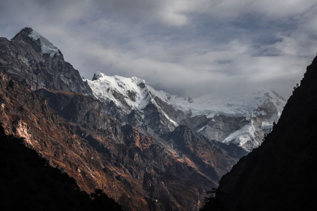
The local currency is the Nepalese rupee, and although other currencies are accepted in more touristy areas, it is wise to carry cash. Communications can be intermittent at higher elevations. Electricity and hot water are not always guaranteed, and their availability depends on altitude and season.
A balance sustained by community
Sagarmatha National Park is an example of how conservation can integrate nature and culture. It is not an untouched territory: it is an inhabited, managed, and visited landscape. Its future depends on maintaining the balance between tourism development, ecosystem protection, and the well-being of Sherpa communities.
The visitor’s gaze is also part of that balance. Understanding that Everest is not just a summit but the center of a complex ecological and human system changes the way one travels through it. The mountain remains, imposing, but what keeps it alive is the web of daily decisions that protect it.