
The Invisible Geography of an Amphibious Archipelago
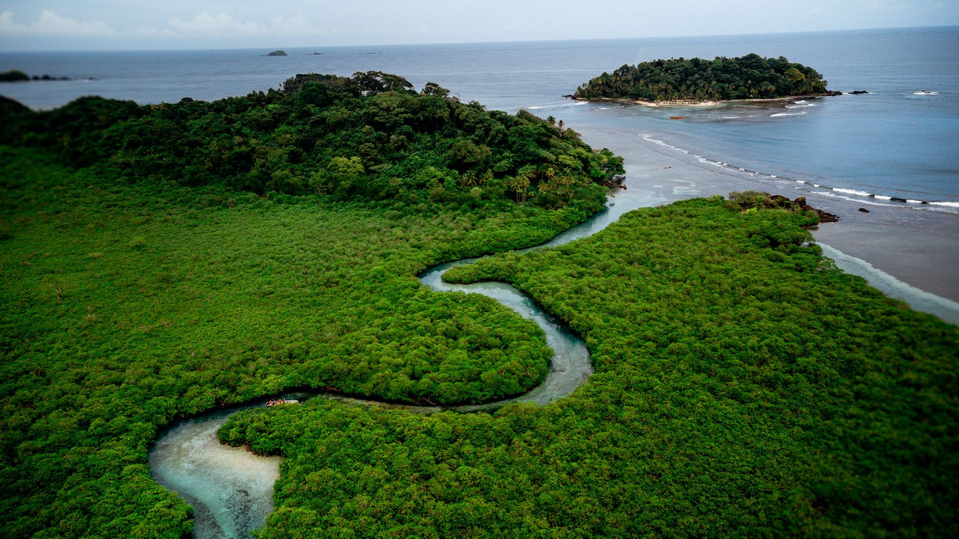
The territory of the Bissagos, situated off the coast of Guinea-Bissau, defies conventional notions of terrestrial cartography. It is not merely a collection of scattered islands in the tropical Atlantic, but a vast amphibious system where the border between sea and firm land is permanently negotiated by the relentless rhythm of the tides. Comprising over eighty insular formations, of which only around twenty are permanently inhabited, this remote outpost of West Africa operates under a logic where traditional maps lose validity every six hours.
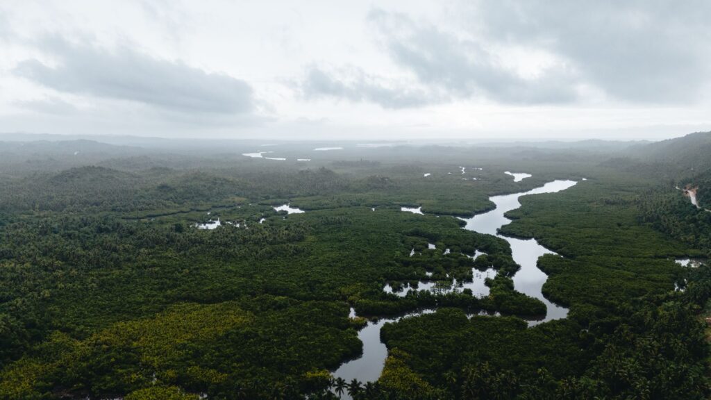
The marine currents and immense mudflats that emerge at low tide configure an aquatic labyrinth that has determined, for centuries, the survival and identity of its inhabitants. Far from constituting an obstacle to development, this geographical isolation has acted as a natural preservation mechanism, safeguarding both mangrove ecosystems and the complex social structures of the local population, where navigation is not a mere economic activity, but a condition sine qua non for daily existence.
The Ancestral Engineering of Dugout Canoes
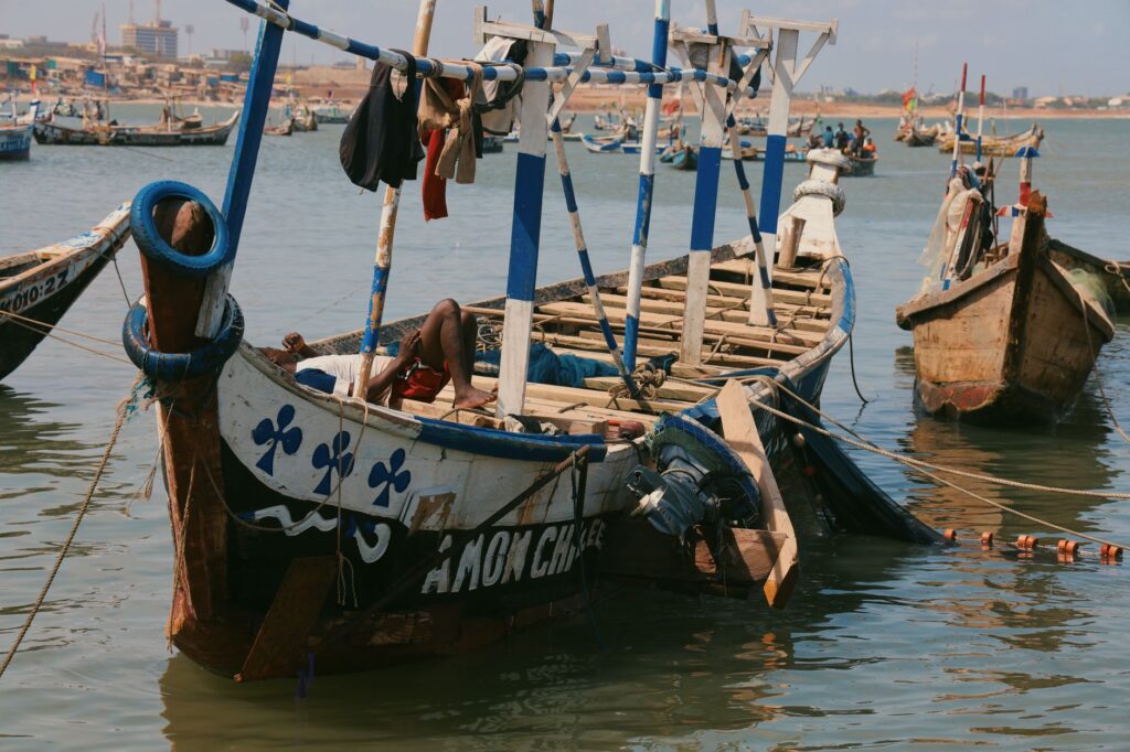
At the heart of the Bissagos’ insular connectivity lies the dugout canoe, carved from a single tree trunk—a masterpiece of empirical naval architecture adapted with surgical precision to the demands of the estuarine environment. Local boatbuilders select large hardwood species, such as ceiba or African mahogany, applying knowledge passed down orally from generation to generation to hollow out and hydrodynamically shape hulls capable of withstanding the brunt of Atlantic swells and the shallow depths of mangrove channels.
These watercraft rely neither on modern technology nor on complex mechanical calculations; their design responds to an intimate understanding of center of gravity, hydrodynamic resistance, and tidal current behavior. Each canoe functions as a living organism within the local transport network, capable of gliding with apparent ease over the turbid waters of the estuaries and bearing loads that defy their apparent fragility, connecting entire communities separated by miles of treacherous channels.
Carved wood does not float by chance; it is the result of a millenary dialogue between the artisan’s hands, the sacred forest, and the untamed force of the Atlantic Ocean.
The Pulse of the Tides and Low-Tide Channels
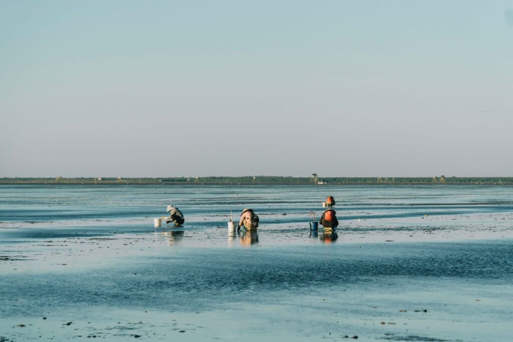
Understanding movement in the Bissagos requires subordinating any human agenda to tide tables. With vertical ranges that can exceed several meters between high and low water, access to major islands such as Bubaque, Orango, or Caravela transforms radically throughout the day. What in the morning is a deep, safe waterway for medium-draft vessels turns by dusk into an impassable muddy flat where propellers and hulls run aground.
This dynamic imposes rigorous planning on local navigators and the few cabotage launches operating in the area. Departures toward the continental port of Bissau are not governed by fixed clock schedules, but by the exact moment when the tide begins to rise, allowing vessels to skirt the treacherous sandbanks guarding the estuaries’ entrances. It is a transport system driven exclusively by the gravitational energy of the moon and the sun, compelling communities to maintain perfect synchronization with the natural environment.
Cabotage Routes and Inter-Insular Commerce
Beyond subsistence navigation, the Bissagos depend on a fragile yet resilient network of commercial cabotage routes. Small motorized boats, locally known as lanchas, act as the primary veins of this system, transporting not only passengers but also staple goods such as rice, fuel, dried fish, and palm produce between the mainland and the more remote islands.
This inter-insular commerce is vital to the archipelago’s subsistence economy, where the scarcity of modern port infrastructure—such as deep-water docks or cargo cranes—necessitates handling all transfer operations manually from the launches to the shore, using small auxiliary canoes or wading through the shallows with cargo on shoulders during low tide. This artisanal logistics demands remarkable physical dexterity and unwavering patience from the merchants and sailors who sustain the economic exchange.
The Role of Bubaque as a Neuronal Hub
Within this archipelagic framework, Bubaque Island functions as the principal nerve center and convergence point for regional mobility. Its natural harbor, albeit rudimentary, concentrates the bulk of passenger traffic and freight storage originating from both the national capital and the most remote southern and northern keys.
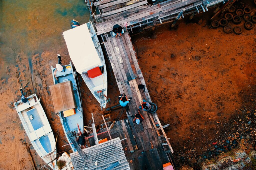
Activity around the Bubaque pier reflects the complex network of interdependencies characterizing the Bissagos. Fishermen returning from high-sea ventures converge there alongside merchants awaiting the incoming tide to unload provisions and travelers seeking a berth on scheduled boats. This interchange point also serves as a privileged observatory of the cultural and economic mutations experienced by the region, where traditional trade routes timidly intersect with fledgling nature tourism flows.
Ecological Preservation Versus Connectivity Challenges
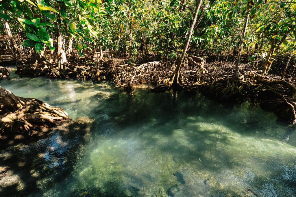
The Bissagos Archipelago was designated a Biosphere Reserve by UNESCO under strict protection regimes, a recognition underlining the exceptional biodiversity of its mangrove forests, sea turtle nesting beaches, and marine hippopotamus populations. However, this status raises a complex dilemma: how to improve connectivity and transport without disrupting the delicate ecological balance sustaining the ecosystem itself?
Any proposal for intervention in navigation routes, such as channel dredging or large-scale port construction, carries severe risks for delicate aquatic habitats. For this reason, local authorities and conservation organizations advocate maintaining a transport model based on low intensity and respect for natural cycles, prioritizing lower-impact watercraft and training local communities in sustainable nautical resource management.
Conserving the Bissagos does not mean isolating its inhabitants from progress, but recognizing that their greatest wealth lies in having learned to navigate in harmony with nature’s limits.
Practical guide
Planning a rigorous journey or approach to the Bissagos Archipelago requires methodical preparation, given that conventional tourist and transportation infrastructure is virtually nonexistent outside specific core settlements.
- How to Get There: The mandatory starting point is the city of Bissau, the national capital. From the main port, travelers must coordinate passage to the islands, primarily Bubaque, using local collective motorboats or privately chartered watercraft.
- When to Visit: The dry season, running approximately from November to May, offers the most stable weather conditions for Atlantic navigation, avoiding storms and heavy monsoon rains of the summer period.
- Tidal Logistics: It is essential to possess updated tide tables and constantly consult local captains before undertaking any inter-insular journey, as schedules shift constantly according to the lunar cycle.
- Accommodation and Services: Hotel options are limited to small guesthouses and community-managed or eco-lodges on islands such as Bubaque and Orango. There are no ATMs or advanced medical services, so carrying sufficient cash and a complete medical kit is mandatory.
- Cultural Respect: The Bissagos harbor communities with strong spiritual traditions and strict local hierarchies. It is crucial to seek permission from traditional leaders (regulos) before entering certain sacred forests or cultural sites.
The Eternal Return to the Refuge of Waters
As the sun sinks below the Atlantic horizon, dyeing the mangrove estuaries in copper and golden hues, the Bissagos Archipelago regains a solemn silence interrupted only by the rhythmic splashing of oars against the water’s surface. Canoes returning from fishing or supply runs glide with pinpoint precision toward the shore, guided by ancestral instinct that defies the ocean’s vastness.
This amphibious territory demonstrates that human connectivity does not always require large asphalt highways or fast digital networks. In the Bissagos, the bond between communities is woven with timber, patience, and respectful submission to the unappealable mandate of the tides, reminding contemporary travelers that true exploration consists of understanding the subtle ways human life manages to root itself in the wildest and most beautiful places on the planet.