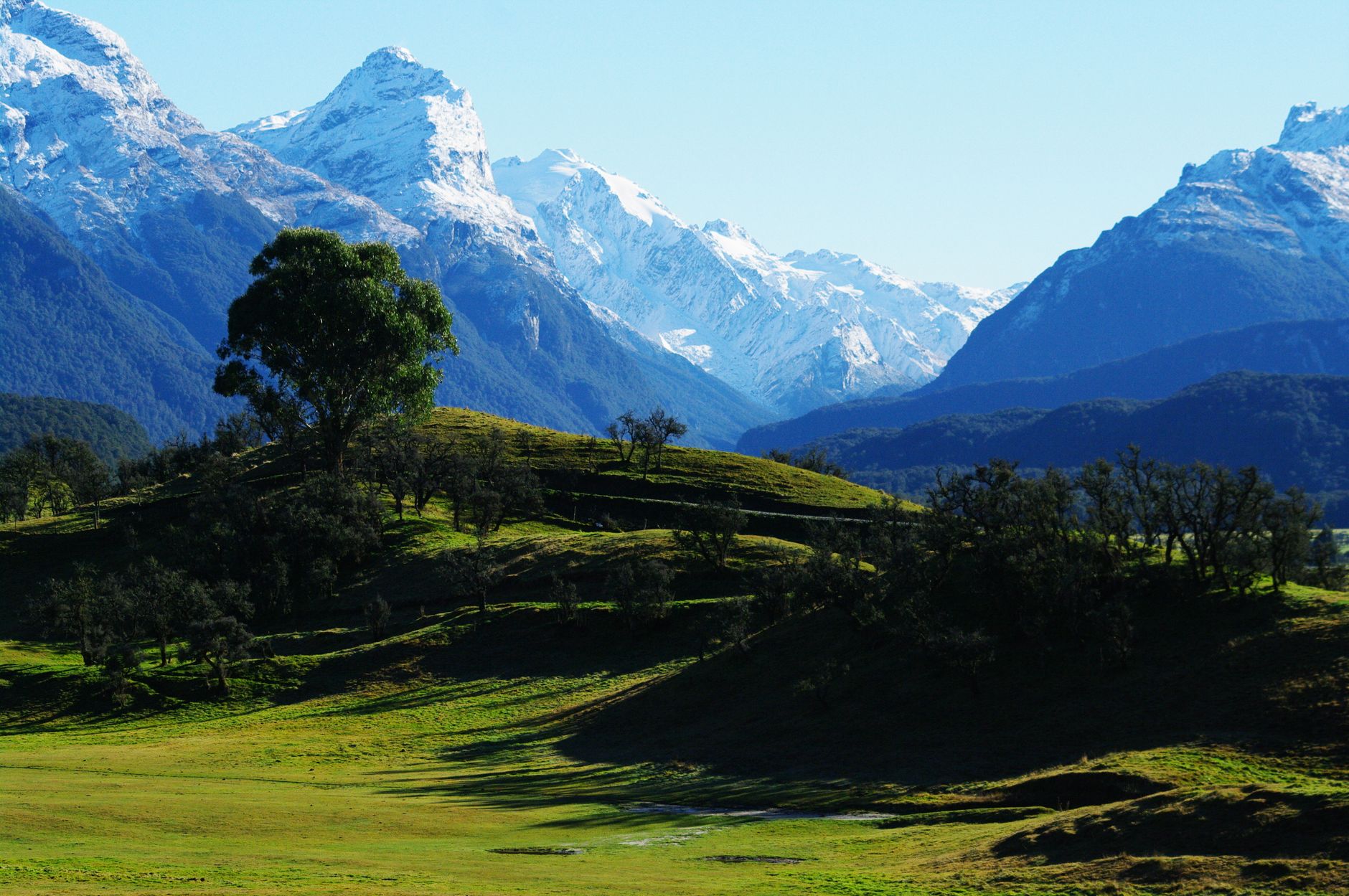

The geography of New Zealand’s South Island West Coast is defined by an unrelenting contrast: the imposing vertical barrier of the Southern Alps (Kā Tiritiri o te Moana) and the constant ferocity of the Tasman Sea. In this narrow, wild strip, human and freight movement does not respond to the comfort of modern multi-lane highways, but rather to an intermodal network as fragile as it is vital. Here, the passenger train crosses impossible gorges via century-old tunnels, heavy freight trucks defy landslide-prone defiles, and mountain aviation operates as the sole safe link when weather severs land routes. Understanding transport in Westland means delving into a territory where engineering permanently competes against the tectonic and climatic forces of the planet.
Throughout this report, we will examine how local communities, rail operators, and transport authorities manage an infrastructure subjected to torrential rainfall and geographic isolation. We will analyze the impact of suspension bridges, coastal routes exposed to marine erosion, and the integration of tourism services with industrial supply chains. Far from a static postcard setting, the West Coast operates under a dynamic rhythm where a single storm can redefine the logistical priorities of an entire province.
The Iron Spine: Arthur’s Pass and the Legacy of the TranzAlpine
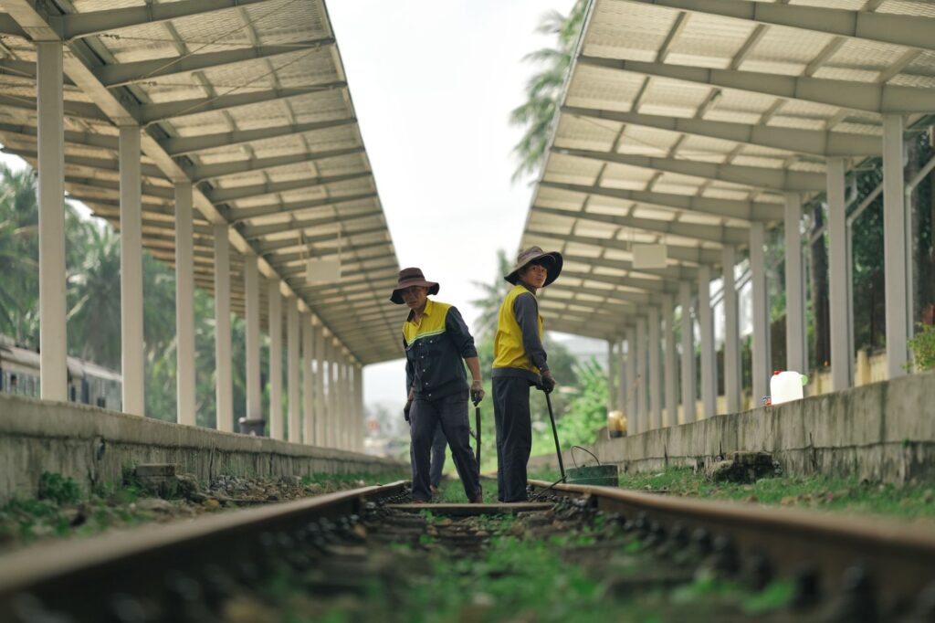
Historically, the railway has represented the sole artery capable of maintaining reliable land communication between the eastern Canterbury plains and the forests and ports of Westland. Formally inaugurated in its entirety in the early twentieth century, the TranzAlpine train route constitutes a masterwork of civil engineering adapted to extreme mountainous terrain. Through steep gradients, dizzying viaducts, and the celebrated Otira Tunnel—which pierces the backbone of the range for over eight kilometers—railway convoys transport both international travelers and essential supplies, bypassing blocked mountain roads.
The daily operation of this line demands meticulous technical coordination. Locomotives must negotiate severe elevation changes using advanced adhesion systems and strict safety protocols against snow accumulation or rockfalls. For residents of towns like Greymouth and Hokitika, the train is not merely an award-winning tourist attraction, but a logistical lifeline guaranteeing economic continuity when winter storms paralyze road traffic.
Roads Under Siege: State Highway 6 and the Landslide Challenge
If the railway dominates the transverse crossing of the Alps, State Highway 6 acts as the north-south backbone stitching together Westland’s coastal settlements. This winding highway skirts sea-lashed cliffs and plunges into river gorges where the schist rock is notoriously unstable. The region’s road maintenance teams operate under perpetual alert, deploying seismic monitoring networks and containment netting to anticipate landslides that threaten to cut off entire communities for days.
Maintaining this road corridor involves colossal public investments and a constant deployment of heavy machinery. Bridges crossing rushing glacial rivers are periodically replaced or reinforced to withstand the heavy traffic of timber trucks and heavy freight vehicles. Every kilometer of asphalt on the West Coast represents a temporary victory of human engineering over a natural environment that continuously erodes and transforms the landscape.
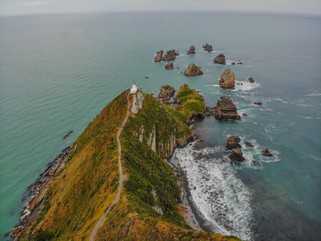
Timber Giants and Extraction Logistics: The Economy of the Coast
The viability of transport in Westland is closely tied to its traditional extractive industries, primarily sustainable forestry and local coal and mineral mining. Heavy-duty trucks form the final link in a chain transporting timber from managed forests to processing centers and export ports. This intense heavy activity imposes severe wear and tear on an infrastructure originally designed for much lower traffic volumes.
To mitigate environmental impact and the accelerated deterioration of secondary roads, regional authorities and private companies have had to constantly renegotiate load protocols and operating schedules. The transition toward more efficient truck fleets and the optimization of transfer nodes toward the railway aims to balance the need for economic competitiveness with the preservation of fragile ecosystems surrounding transport routes.
River Navigation and Port Infrastructure: Maritime Access on the Tasman Shore
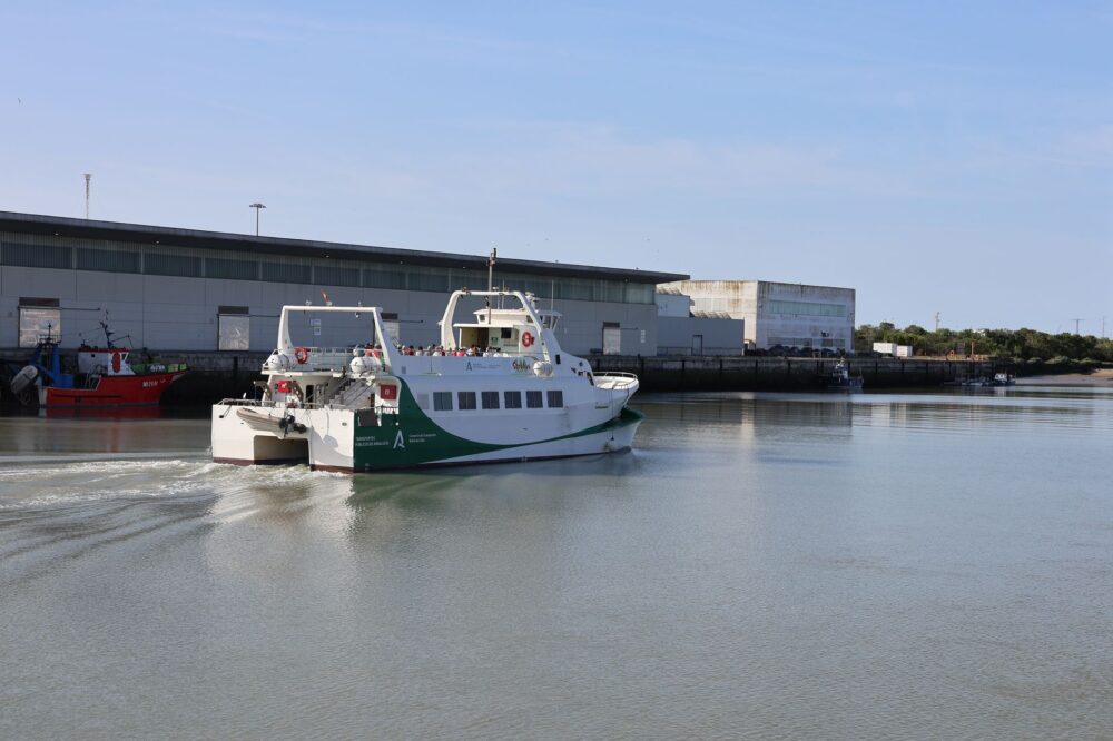
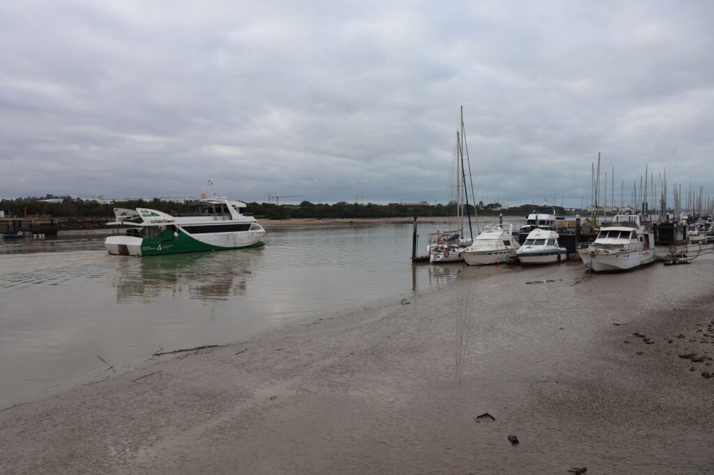
Although deep-draft maritime transport has declined compared to the nineteenth century, when steam schooners populated the estuaries, the West Coast’s river ports still fulfill a minor yet indispensable strategic role. The mouths of rivers such as the Grey and Hokitika suffer from shifting sandbars and unpredictable currents that hinder regular commercial navigation. Local tugs and dredges operate constantly to maintain safe channels allowing the egress of products toward the north of the island and international markets.
This historical reliance on the sea is also reflected in the local culture of fishermen and small vessel operators, who must possess a profound understanding of Tasman Sea tides and winds. Port infrastructure, while modest compared to major hubs in Auckland or Christchurch, survives as a testament to seafaring resilience on a coast where shipwrecks deeply marked the history of regional navigation.
Mountain Aviation and Emergency Links in Isolated Zones
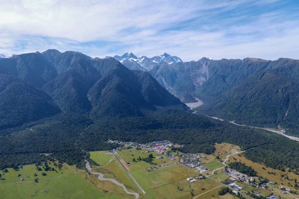
When landslides sever State Highway 6 and the Otira Tunnel suffers technical interruptions, Westland’s connectivity falls almost entirely upon civil and emergency aviation. Grass and gravel airstrips located in remote valleys and small settlements immediately become the sole points of contact with the outside world. Multi-role helicopters and single-engine light aircraft perform critical tasks ranging from urgent medical supply transport to the evacuation of hikers trapped on alpine trails.
The true measure of infrastructure on the West Coast is not calculated in economic profitability, but in its ability to keep a dispersed community united when nature decides to draw an impenetrable dividing line.
Pilots operating in this region face notoriously volatile meteorological conditions, characterized by violent down-valley winds and fog banks forming within minutes. The expertise of these professionals, combined with high-precision satellite navigation systems, ensures that Westland’s geographic isolation never turns into absolute abandonment.

Expedition Tourism and Passenger Fleet Management
The steady flow of international visitors drawn to the Franz Josef and Fox glaciers, as well as Unesco-protected temperate rainforests, has substantially transformed the profile of transport in the region. Large-capacity tour bus fleets now share the alpine asphalt with campervans driven by independent travelers facing left-hand driving and tight, unbarriered curves for the first time.
This vehicular coexistence has forced transport agencies to implement intensive road safety awareness campaigns and improve signage at accident-prone points across the network. Likewise, tour operators increasingly integrate intermodal solutions, combining rail legs, shuttle buses, and guided excursions to reduce congestion at viewpoints and minimize the carbon footprint in highly sensitive ecological areas.
Practical guide
Getting There and Around: The most scenic way to access the region is aboard the TranzAlpine train from Christchurch to Greymouth. To explore the West Coast with complete autonomy, renting a four-wheel-drive vehicle (SUV or 4WD) is recommended, alongside daily checks of the official New Zealand Transport Agency (NZTA) website to verify road conditions and potential weather-related closures.
When to Travel: The months of the southern summer (December to February) offer the most stable weather conditions and extended daylight hours. However, winter (June to August) reveals spectacular mountainous landscapes, though it demands utmost caution when driving and the mandatory carrying of snow chains on high mountain passes.
Logistical Tips: Distances between service stations can be substantial; take advantage of every opportunity to refuel and always keep water and warm clothing in your vehicle. Strictly obey speed limits and single-lane bridges, which are a common and safe feature of the New Zealand road network provided the right of way is properly yielded.
The Echo of the Journey: Human Connectivity at the Edge of the World
After traversing gorges, suspension railways over abysses, and roads whipped by the salty mist of the Tasman, it becomes clear that transport in Westland transcends mere logistics. It is, in essence, a constant pact between humankind and a superb territory that tolerates no negligence. Every repaired bridge, every cleared path following an avalanche, and every rescue flight amid the storm reflect an unyielding determination to keep the community’s pulse alive. In this extreme corner of Oceania, traveling is not merely moving through space, but witnessing how collaboration and engineering gracefully defy the limits of nature.