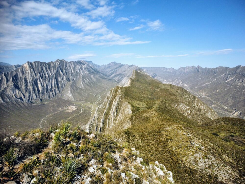

In southwestern Saudi Arabia, where the arid central plateau drops sharply toward the coastal plains of the Red Sea, the Asir province stands as a territory of abrupt peaks, agricultural terraces carved into stone, and mud-brick villages defying gravity. At over three thousand meters of altitude, the air is crisp, and clouds brush against the stone rooftops of Al-Soudah. For centuries, this geographical isolation dictated a self-sufficient lifestyle, where mobility depended on bridle paths and camel caravans capable of navigating dizzying precipices. Today, geography still dictates the rules, but transportation has evolved into a complex choreography of road engineering, monumental viaducts, and cable systems linking worlds separated by unfathomable abysses.
The transport system structuring Asir is not merely a utilitarian infrastructure; it is the vital artery enabling both commercial exchange and the arrival of high-altitude tourism seeking refuge from the scorching summer heat of the Persian Gulf. Understanding this network requires observing how the major federal highway descending the Al-Hada escarpment, long-distance buses linking Abha with the kingdom’s major metropolises, and intricate networks of shared taxis feeding local markets interact. Every stretch of asphalt carved into the rock is the result of a titanic modern engineering effort to stitch together a territory fragmented by vertical canyons and deep gorges.
Engineering the Abysses: Roads That Defy Verticality
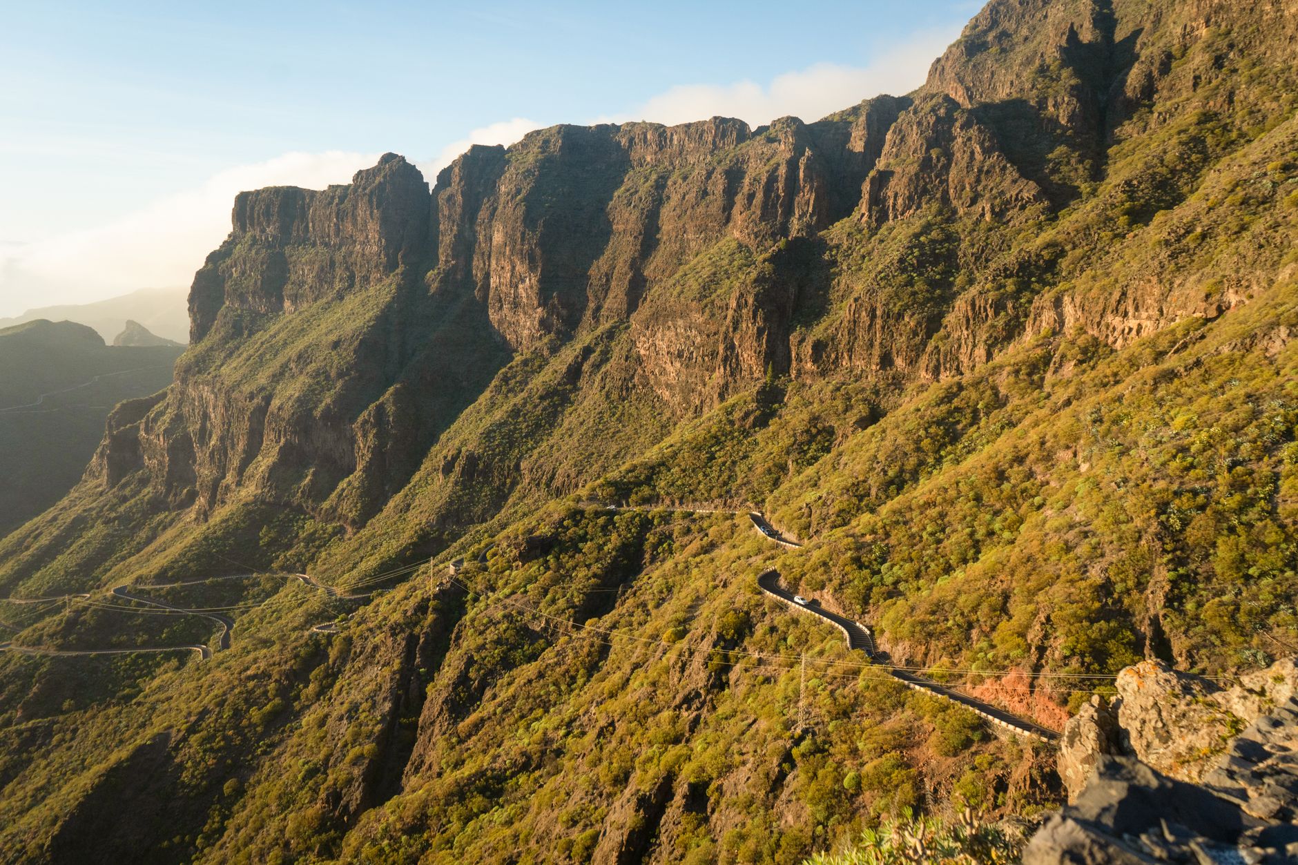
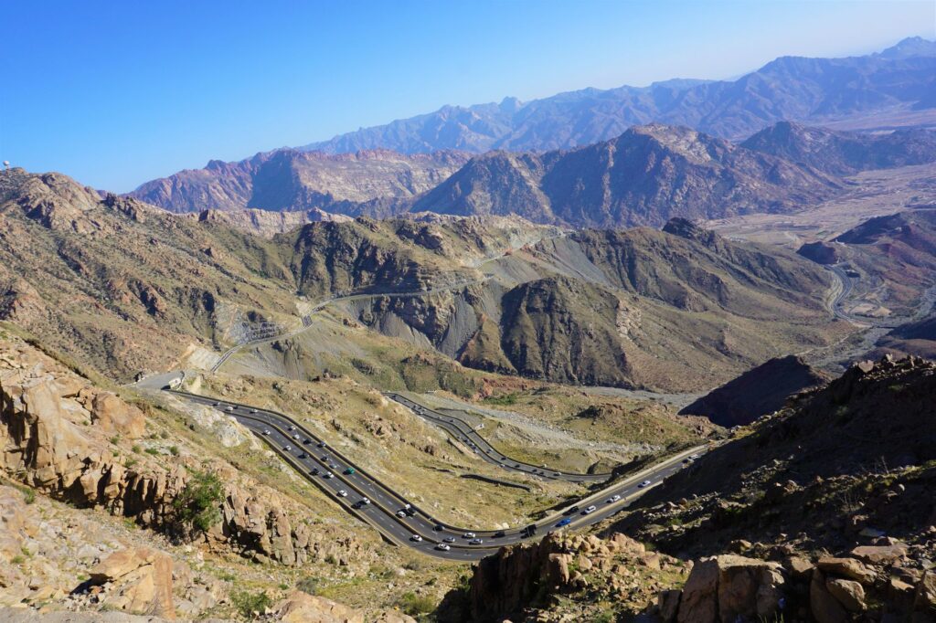
The backbone of mobility in Asir is a road system winding through mountain slopes with millimeter precision. The highway descending from the city of Abha to the Tihama coast is a marvel of 20th-century civil engineering. Featuring dozens of tunnels bored through granite and hundreds of bridges spanning colossal voids, this route bears the daily transit of heavy freight trucks, off-road vehicles, and intercity buses. Maintaining this infrastructure requires specialized teams constantly battling rockfalls triggered by seasonal rains and persistent fog.
Along these high-mountain routes, local drivers and professional transport workers share the asphalt with fleets of modern buses operated by national companies. These vehicles, equipped with auxiliary braking systems to handle demanding downgrade slopes, guarantee economical and reliable connectivity for residents commuting for work or education. However, driving in Asir demands extreme focus. Blind curves with zero visibility and sudden temperature changes—shifting rapidly from the humid coastal warmth to the intense mountain cold within just a few kilometers—test both vehicular mechanics and driver skill.
Cable Transport: Bridging Sky and Abyss
Beyond the asphalt, Asir’s extreme topography has driven the development of one of the boldest cable car networks in the Middle East. These suspended transport systems serve not only a tourism function but act as essential links overcoming geographical barriers that, by land, would require hours of detouring. The Al-Soudah cable car complex, for instance, descends more than two thousand meters from the mountain summit to traditional villages nestled at the valley floor, crossing canyons where strong air currents demand strict operational protocols.
Operating these cabins requires rigorous technical supervision and constant preventive maintenance due to exposure to weathering and regular hailstorms battering the peaks. For residents and visitors alike, this mode of transport offers a unique perspective on the region’s ecological transition, revealing in mere minutes how alpine juniper forests yield to the subtropical vegetation of lower valleys. It is a tangible reminder of how technology can integrate into a protected landscape to solve centuries-old connectivity challenges.
The Secondary Network and the Role of Local Mobility
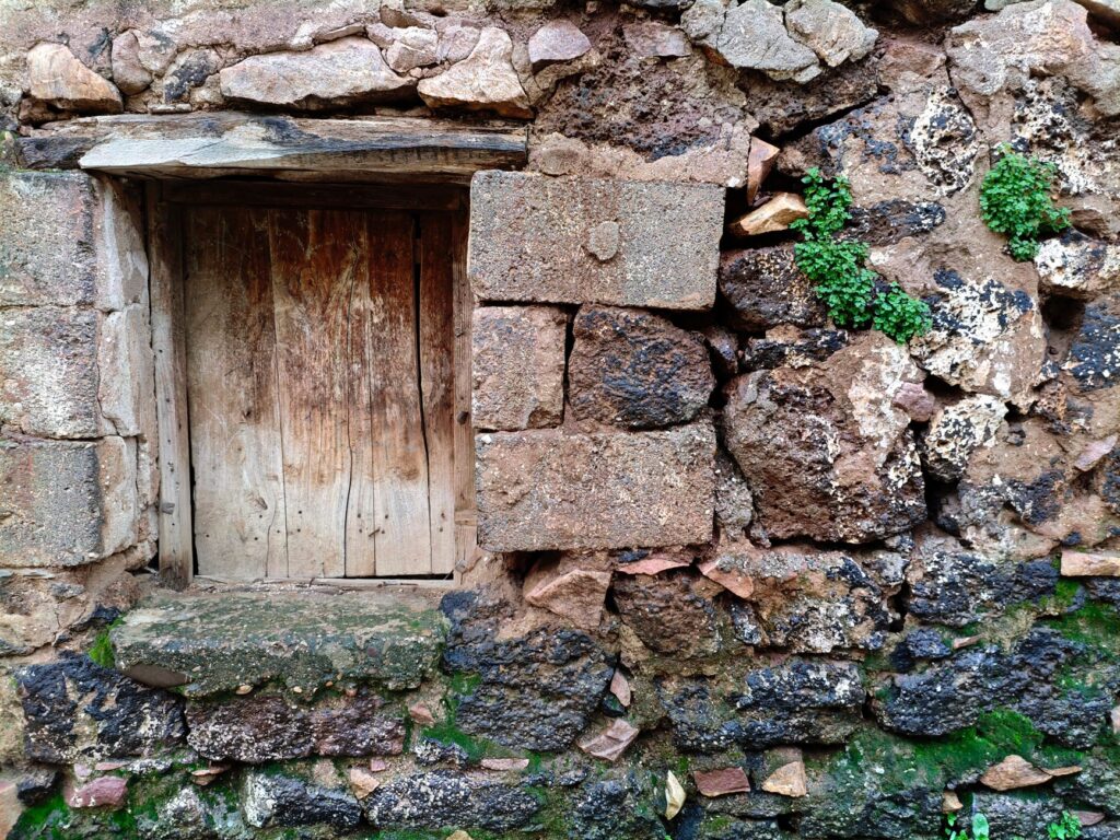
While major highways and cable cars form the main arteries, the secondary network of paved tracks and rural paths represents the capillary system nourishing Asir’s agricultural communities. In towns like Rijal Almaa, renowned for traditional stone and quartz architecture, vehicular access has been carefully adapted to preserve historical heritage. Large buses cannot navigate the narrow alleys of heritage villages, so freight distribution and passenger transport fall to light vehicles and vans operated by local residents.
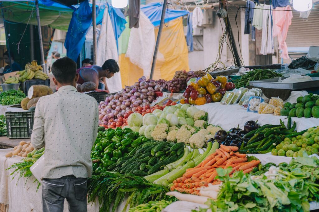
This grassroots transport is the social glue of the region. Weekly markets, known as Asir souks, depend entirely on this network of secondary roads converging on nodal points where local farmers trade mountain honey, aromatic herbs, and crafts. Punctuality here is governed by the rhythm of rural life and weather conditions, turning every journey into an experience where immediacy yields to patience and shared territorial knowledge.
The mountain is not conquered by speed, but by respect; every kilometer of road in Asir is a silent dialogue between human audacity and the persistence of stone.
The contemporary challenge lies in balancing the modernization of these secondary routes with the landscape’s conservation. Regional authorities implement permeable pavements and smart signage to minimize visual impact in areas of high ecological value, ensuring that transport development does not destroy what attracts travelers drawn to geographic authenticity.
High-Altitude Airports and Regional Air Connectivity
Asir’s integration into the global transport network rests on strategic airport infrastructure, with Abha Regional Airport serving as the primary hub. Situated at high altitude, this airfield manages scheduled flights connecting the province to the kingdom’s main economic centers, such as Riyadh and Jeddah. Operations at this airport present technical particularities derived from its geographical location, where crosswinds and low cloud cover require advanced instrumental approach systems.
The modernization of these facilities forms part of a broader strategy to boost sustainable tourism in the region, facilitating international arrivals without requiring lengthy road journeys from the coast. Nonetheless, planning experts insist that aviation must be complemented by an efficient terrestrial network to prevent congestion near top natural attractions, promoting electric shuttles and shared transport services for the final leg of the journey.
Environmental Challenges and Maintenance in Extreme Environments
Maintaining an operational transport network in a geographical environment as dynamic as Asir involves continuously confronting erosion, landslides, and extreme thermal variations. Local road engineers employ advanced slope stabilization technologies, utilizing high-tensile wire mesh and underground drainage systems to channel torrential rainfall and prevent them from undermining main highway foundations.

Likewise, the energy transition is beginning to leave its mark on the regional transport sector. Electric vehicle charging stations are being installed along major tourist routes, and the introduction of hybrid bus fleets is being evaluated to reduce carbon emissions in protected areas like the Asir National Park. This effort to reconcile mobility with environmental sustainability reflects a growing awareness of the fragility of the Arabian Peninsula’s mountainous ecosystems.
Practical guide
How to get there: Abha Regional Airport operates daily flights from Riyadh, Jeddah, and Dammam via national airlines. For those preferring road travel, regular long-distance bus services connect major national cities with the capital of Asir.
Internal transport: The most flexible option for touring the region and accessing mountain viewpoints is renting a four-wheel-drive vehicle. It is essential to check braking systems and tire conditions before undertaking routes across escarpments.
When to travel: The months between October and April offer the most pleasant weather conditions, featuring mild daytime temperatures and cool nights in the high mountains. Summer attracts those seeking to escape coastal heat, though afternoon storms are frequent.
Driving precautions: Extreme caution is required when driving on mountain roads during dense fog or heavy rain. Throwing trash is strictly prohibited, and drivers are advised to strictly obey speed limits marked on steep descents.
Visual Epilogue in the Summit Mist
At dusk, when thick fog blankets the juniper forests of Al-Soudah and village lights begin to flicker across the slopes, Asir’s transport network reveals its most human dimension. It is no longer about asphalt, steel, or tension cables, but the invisible thread keeping entire communities united against the imposing grandeur of the mountain. In this elevated corner of Arabia, every vehicle ascending with the first morning light and every cable car crossing the abyss embodies the daily victory of connectivity over isolation, reminding us that traveling through these landscapes is, above all, an exercise in profound humility before the scale of the planet.