
Patagonia is far more than a landscape of immaculate postcards and granite spires; it is, above all, a vast amphibious domain where water dictates the terms of existence and traditional roadways vanish beneath the fjords. In this southern outpost, the Guaytecas Archipelago represents one of the most complex logistical challenges in the South American continent. Here, the daily survival of entire communities hinges upon a precise choreography of cargo barges, coastal ferries, and small artisanal vessels that brave the unforgiving climate of the austral channels.
Understanding mobility in the Guaytecas requires stripping travel of any superficial romanticism to confront the stark reality of a fragmented geography. Every week, the connectivity of these islands hangs in the balance between treacherous tides, howling Patagonian gales, and the fragility of a port infrastructure striving for modernization. This report explores the liquid arteries sustaining life in the archipelago, examining how residents and authorities navigate the thin line between isolation and territorial integration.
The Amphibious Geography: When the Map Becomes a Water Labyrinth
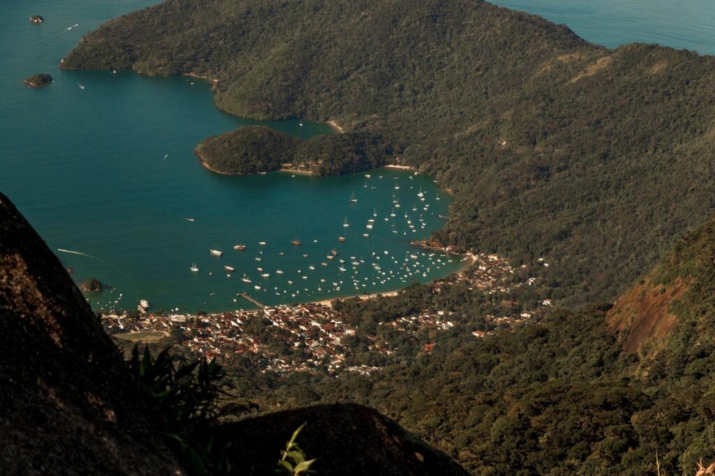
The Guaytecas Archipelago comprises dozens of forested islands and islets situated at the northwestern tip of the Aysén Region. Melinka, its primary urban and administrative hub, stands as a remote settlement where wooden boardwalks and floating piers bear silent witness to a history inextricably bound to the sea. In this environment, solid ground is an exception, and overland transport lacks practical utility, as there are no roads connecting the various settlements to one another.
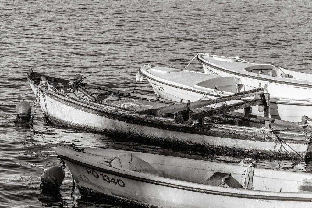
The absence of an internal road network turns every journey into a mandatory nautical voyage. Residents do not drive automobiles; instead, they rely on fiberglass speedboats and motor skiffs that weave through narrow channels and waters exposed to the open swell of the Pacific Ocean. This absolute reliance on the aquatic medium makes the weather the supreme director of daily life, where an unexpected storm can completely paralyze commercial and social activity for days.
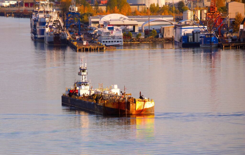
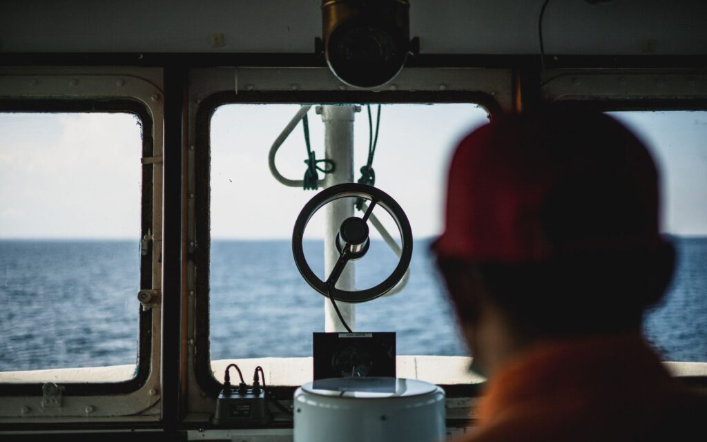
The austral channels function as the backbone of a system where distances are measured not in kilometers, but in hours of navigation and the brief windows of opportunity afforded by tides. The submarine topography, marked by deep fjords and treacherous shallows, demands ancestral knowledge and exceptional technical skill from local skippers, who must pilot their vessels through dense fog and sudden southern squalls.
The Fleet of Survival: Barges, Ferries, and Smaller Vessels
The provisioning of the Guaytecas relies on a heterogeneous fleet ranging from large state-subsidized passenger ferries to private cargo barges carrying general freight. These vessels transport not only food, fuel, and building materials, but also vehicles, heavy machinery, and passengers seeking to connect with the regional capital or northern Chilean ports.
Cargo barges act as floating centers of gravity for the island economy. In their holds and open decks, trucks laden with fresh salmon, propane gas cylinders, flour sacks, and private vehicles travel side by side. Unloading these supplies in Melinka is a ritual that mobilizes much of the community, operating under strict time constraints dictated by sea-level fluctuations and the handling capacity of local docks.
Meanwhile, passenger ferries provide a vital long-distance connectivity service, linking the archipelago with mainland ports such as Quellón on neighboring Chiloé Island. These voyages, lasting anywhere from six to ten hours depending on weather conditions, form the umbilical cord enabling residents to access specialized medical care, administrative procedures, and higher education on the mainland.
The Climatic Factor: Gale-Force Winds and the Tyranny of the Channels
Navigating the Guaytecas means submitting to the unpredictability of Patagonian weather, marked by year-round heavy precipitation, recurring cold fronts, and winds frequently exceeding gale force. Western storms, locally known as rechiflas, lash the channels fiercely and turn maritime routes into high-hazard zones for smaller craft.
Maritime authorities play a critical role in this scenario, issuing departure restrictions and closing ports whenever weather conditions compromise vessel safety. These suspensions, though necessary to prevent tragedies, generate severe logistical bottlenecks, delaying the arrival of perishable medical supplies and leaving passengers stranded in improvised terminal facilities.
Adaptation to this hostile environment has forced shipping companies and local operators to adopt satellite navigation technology and advanced meteorological forecasting systems. Nevertheless, nature continues to enforce its rules, constantly reminding travelers and residents that Patagonian connectivity remains a fragile privilege conditioned by the elements.
Port Infrastructure: Between Modernization and Historical Lag
The development of port infrastructure in the Guaytecas has progressed at an uneven pace, reflecting the inherent difficulties of investing in such isolated zones. Although improvement projects have been executed at major terminals over recent decades, many minor docks and access ramps continue operating near their technical capacity limits.
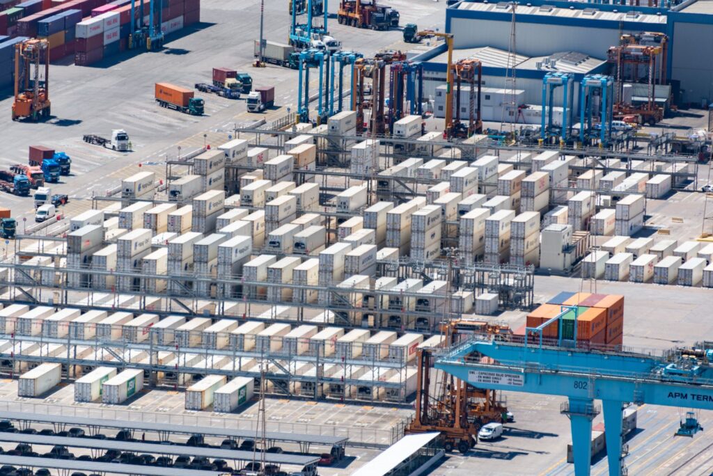
Roll-on/roll-off ferry loading ramps are critical to ensuring an efficient flow of cargo and vehicles. When these structures sustain damage from storms or continuous wear and tear, the entire archipelago logistics chain goes on high alert. The lack of adequate breakwaters at exposed locations further complicates docking maneuvers during high tides and crosswinds.
blockquote>«In the Guaytecas, we do not build asphalt roads; we build trust and memory upon the water, where every pier is a frontier and every ship is the main street connecting us to the rest of the world.»
This reality has spurred continuous demands from local governments and production guilds to update master plans for maritime connectivity, calling for greater operational subsidies and more rigorous oversight of vessel maintenance standards across austral routes.
Socioeconomic Impact: Isolation, Costs, and the Sea Economy
The transport system directly influences the cost of living and the economic viability of the Guaytecas. Relying exclusively on maritime transport for consumer goods drives prices for food, fuel, and construction materials up to double or triple mainland Chilean rates, heavily impacting island household budgets.
Mussel farming and artisanal fishing, the fundamental pillars of the local economy, face formidable logistical hurdles in marketing their products to national and international markets. Transporting harvests of blue mussels or shellfish to processing plants requires flawless synchronization among harvesting crews, refrigerated trucks aboard barges, and subsequent overland routes across Chiloé and Route 5 South.
Any interruption in the maritime transport chain translates to immediate financial losses for local producers, underscoring the vulnerability of a productive model tied to the stability of a single transport mode. Route diversification and reinforcement of the regional merchant fleet stand out as essential priorities to secure long-term economic well-being.
The Human Perspective: Stories of Mariners and Daily Passengers
Behind cargo tonnages and ferry schedules lie the human stories of those who make Guaytecas connectivity possible. Skippers with decades of channel experience, galley cooks feeding crews through heavy seas, and passengers undertaking long journeys for medical reasons compose the social fabric of this route.
For young people who must relocate to the mainland for secondary or higher education, the ferry journey is a rite of passage marked by climatic uncertainty and homesickness for the island. Conversations aboard ship decks reflect a profound resilience, an innate capacity to cope with distance, and a community solidarity that springs to life whenever a storm isolates the settlement.
blockquote>«The sea here is not an obstacle to be conquered at all costs, but rather the backyard of our home; we have learned to read its silences and respect its fury in order to keep existing.»
This human dimension lends true meaning to the technical analysis of transport, reminding us that behind every ton of freight carried are human lives and projects dependent on ships continuing to sail.
Practical guide
Planning a trip or logistical operation to the Guaytecas Archipelago requires rigor, anticipation, and flexibility in the face of weather uncertainties characteristic of Chilean Patagonia.
- How to get there: Primary access is maritime from Quellón (Chiloé Island) via regular passenger and cargo ferry services operated by private lines with state subsidies. Frequencies vary by season, dropping during winter months.
- Air transport: Police and minor connectivity flights operate subject to weather conditions and local demand, using local airstrips with gravel or dirt runways. They do not constitute a mass cargo transport medium.
- When to travel: The months between November and March offer the most favorable weather conditions, with lower probabilities of severe storms and extended daylight. The austral winter (June through August) drastically increases gale-related sailing suspensions.
- Logistical recommendations: Book passages weeks in advance if traveling with a personal vehicle. Always pack technical waterproof clothing, layered warmth, and emergency provisions for potential port delays caused by weather closures.
- Safety and connectivity: Verify port conditions and weather advisories issued by the local Maritime Governorate before initiating any travel toward embarkation terminals.
In the remote expanse of the Guaytecas, where land yields to the relentless advance of the ocean, transport is not merely a travel service, but the very heartbeat of a society refusing to vanish. With its barges cutting through the fog and piers withstanding the pounding tides, this Patagonian archipelago proves that human connectivity is, above all, an act of will and respect toward the vastness of the southern landscape.