
The Current That Sculpted the History and Commerce of a Nation
The Magdalena River is not merely a blue line drawn across South American maps; it represents the historical, economic, and social backbone that enabled penetration into the Andean interior from the Caribbean Sea. For centuries, its muddy and dynamic waters have transported everything from sacks of coffee and precious minerals to the aspirations of thousands of travelers who relied on steam navigation to overcome Colombia’s rugged geography. Today, amid the era of globalized logistics and multimodal transport, this waterway continues to defy contemporary logic by keeping alive a river transport system deeply rooted in tradition, community resilience, and adaptive engineering.
Spanning over fifteen hundred kilometers of navigable route, the Magdalena flows between shifting meanders, expansive wetlands, and jungle-lined banks that alter their physical appearance depending on the rainy or dry seasons. This continuous physical metamorphosis turns every journey into an exercise in high-precision seamanship and empirical knowledge. While modern paved highways pursue straight lines and supersonic speeds, the fluvial artery demands patience, careful reading of whirlpools, and a deep understanding of the sedimentation that continually redraws navigable channels.
The Backbone of Pontoons and Artisanal Crossing Engineering
One of the most unique and fascinating elements of mobility along the Magdalena is the network of artisanal pontoons. These large floating platforms, operated using the force of the river current and tension cables anchored from bank to bank, serve as indispensable mobile bridges in areas where terrestrial road infrastructure has yet to establish stable crossings. For riverside inhabitants, crossing the river is not a routine act, but a daily ritual where heavy cargo trucks, motorcycles, and pedestrians share cramped spaces over sun-worn and humidity-weathered timber.
Operating a pontoon requires perfect synchrony between the helmsman and the power of the water. By releasing or tightening guide cables, the vessel positions itself at a precise angle to harness the vector thrust of the flow, allowing the structure to cross from one end to the other without requiring high-powered engines on most traditional routes. This ancestral technology, perfected over generations, demonstrates how rural mobility can be sustained through low-energy-impact solutions, even though its viability is constantly threatened by sudden floods and accumulated drift logs.
The Pulse of Push Tugs and Heavy Cargo Logistics
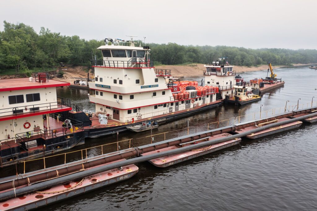
If pontoons resolve transverse transit, powerful push tugs and their barge formations represent the economic lungs of longitudinal commerce. These convoys, capable of displacing thousands of tons of coal, steel, fuel, and agricultural raw materials, navigate the navigable channel from interior ports like Puerto Salgar to the coastal port terminals, primarily in Barranquilla and Cartagena. However, navigating with such a deep draft in such an unstable river is a titanic task that tests the acumen of veteran captains.
Seasonal variations in water levels are the primary enemy of the logistics chain. During periods of severe low water, sandbanks emerge unexpectedly, transforming entire sections of the river into mud traps where tugs remain stranded for weeks. This structural vulnerability forces shipping companies to split cargo, lighten drafts, and depend on constant mechanical dredging operations that frequently prove insufficient against the massive sediment loads swept down from deforested Andean ranges.
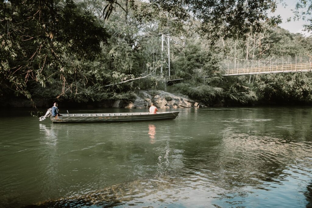
The Magdalena River grants no pardon to haste; it demands from every sailor and traveler an unconditional surrender to its geological timelines and climatic whims.
Historic Ports and the Metamorphosis of Intermodal Terminals
The history of navigation on the Magdalena is intimately tied to the rise and decline of its river ports. Legendary enclaves such as Honda, Mompox, Gamarra, or Puerto Wilches were once cosmopolitan epicenters where imported European goods converged with tropical products destined for international markets. Today, most of these traditional docks have lost their prominence due to the obsolescence of their physical infrastructure, prompting fragmentary modernization efforts intended to connect boats with secondary road networks.
Intermodal integration in the Magdalena basin remains a complex and unfinished agenda. Although ambitious projects have been developed to structure an efficient logistics corridor between the country’s center and the sea, a lack of consistent investment and topographic challenges hinder the rapid transfer of cargo between river containers and overland transport trucks. As a result, supply chains experience recurring bottlenecks, where river sluggishness adds to highway congestion in a cycle of inefficiency that drives up the final costs of consumer goods.
Life Aboard: The Human Rhythm of River Passengers
Beyond the macroeconomic figures of cargo transport, the Magdalena preserves a deeply human dimension through long-distance passenger vessels, popularly known as mixed pontoons or fast collective motorboats. For riverside communities lacking paved roads, these craft constitute the sole link to urban supply centers, hospitals, and schools. Travelers spend entire days suspended in hammocks strung across upper decks, sharing stories, food, and the relentless heat of the inter-Andean valley.
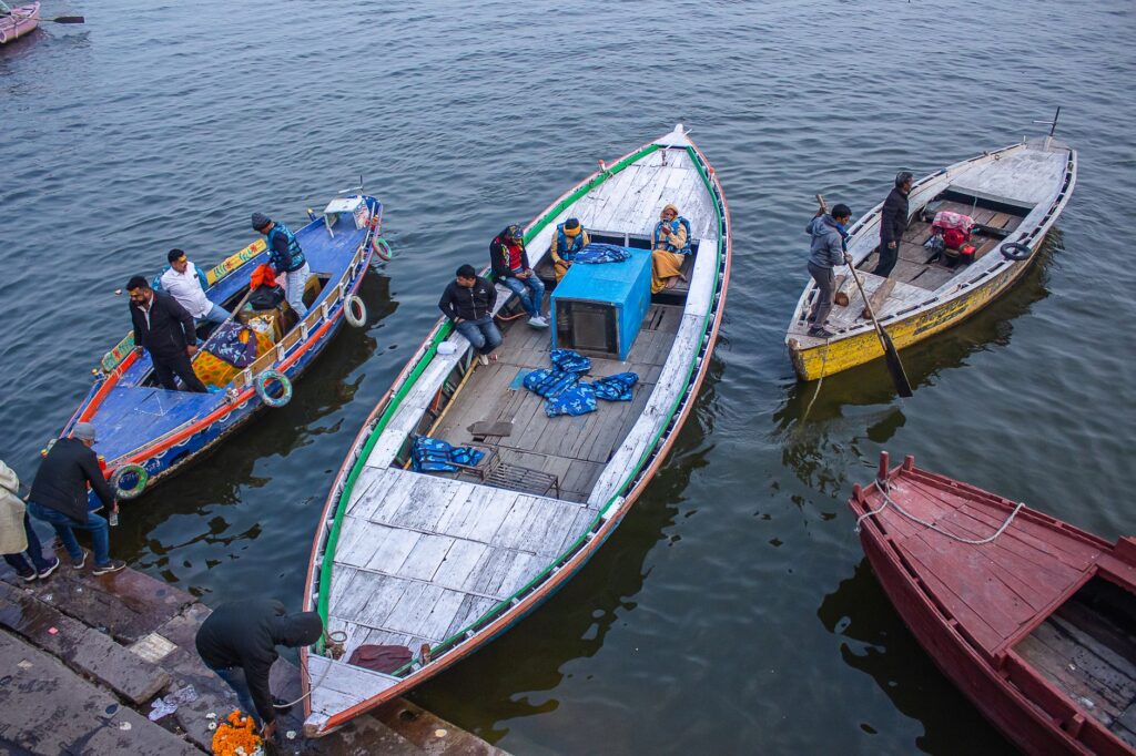
This constant flow of people reflects admirable social resilience. Despite risks associated with riverbank erosion, sporadic river piracy in conflict zones, and service interruptions caused by prolonged droughts, river families continue to rely on the waters for their daily mobility. Children traveling to rural boarding schools, farmers transporting harvests in small wooden boats, and local merchants form a vibrant social ecosystem that defies geographical isolation through unyielding community solidarity.
Environmental Challenges and the Invisible Threat of Climate Change
The transportation system of the Magdalena cannot be understood apart from its profound environmental crisis. Massive deforestation in the upper and middle basins of the western and central cordilleras has exponentially increased erosion rates, causing millions of tons of sediment to choke navigable channels year after year. This ecological alteration not only drives up maintenance and dredging costs but also disrupts natural hydrological cycles, making floods more destructive and droughts longer and more severe.
Likewise, contamination from industrial discharges, plastic waste, and mercury from illegal mining directly threatens the safety of operations and the health of communities directly dependent on river water. Tugboat captains must contend with massive islands of water hyacinths and floating logs that clog propellers, demonstrating that the fragility of river infrastructure is a direct reflection of the ecological degradation of Colombia’s entire hydrographic basin.
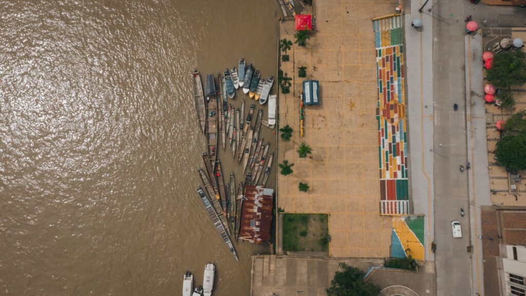
Maintaining navigation on the Magdalena demands an urgent transition toward environmental management models that recognize the river as a subject of rights and a dynamic ecosystem.
Practical guide
How to get there: Main access to the Magdalena basin is through the international airports of Bogotá (BOG), Medellín (MDE), or Barranquilla (BAQ), connecting to major land and river nodes toward the riverbanks.
When to travel: Transition months between rainy and dry seasons (typically April–May and October–November) offer an optimal balance between navigable water levels and lower risks of severe thunderstorms.
River transport options: Short crossings are made via artisanal vehicle pontoons in locations such as Puerto Salgar, Honda, and Gamarra. Long-distance passenger journeys are coordinated directly at local docks, requiring flexibility regarding potential delays due to weather conditions.
Requirements and safety: Updated yellow fever vaccinations, high-SPF sunscreen, insect repellent, and a certified life jacket are essential when boarding any type of river vessel without exception.
The Final Reflection: Sunset Over the Muddy Waters of the Magdalena
As the sun begins its descent behind the western cordillera, painting the sky in copper and violet tones, the Magdalena River seems to pause its march and adopt a solemn calm. On the deck of an old tugboat anchored near Mompox, the soft lapping of water against the steel hull sets a timeless rhythm that has accompanied generations of navigators. The faint lights of riverside settlements begin to flicker on, casting long luminous wakes across the relentless current.
This moment of visual stillness encapsulates the true essence of the bicentennial route: a delicate balance between human audacity and the indomitable force of nature. Despite logistical challenges, chronic sedimentation, and climatic uncertainties, the Magdalena transport system presses forward, driven by the tenacious effort of men and women who refuse to let their homeland’s fluvial memory die. In every nocturnal journey, the river renews its promise to connect territories, uniting the Andean mountains with the vast horizon of the Caribbean Sea in an eternal flow of endurance and hope.