
The Vertical Geography of the Arctic Circle
Above the 67th parallel north, where the European continent seems to fray into a series of rocky fragments battered by the Atlantic Ocean, the Lofoten archipelago rises like an impassable rampart of dark granite. These sharp peaks, molded by the advance and retreat of ice sheets during the ice ages, emerge directly from the cold, crystalline waters with a verticality that defies cartographic logic. Bare stone, furrowed by deep glacial cirques and wind-sculpted ridges, defines a landscape where solid ground feels like a provisional concession from the sea.
Over the centuries, this extreme topography has implacably conditioned how human beings have settled in the territory. The interior valleys are narrow, hemmed in by rock faces that restrict direct sunlight hours during the long winter months, while coastal strips are reduced to minuscule platforms of morainic deposits. In this environment, survival has never depended on intensive agriculture, but on a precise and respectful reading of marine currents and the ocean’s seasonal rhythms.
Lofoten’s climate, however, harbors a fundamental thermodynamic paradox essential for understanding its history. Despite sharing the latitude of Greenland or northern Siberia, the direct influence of the Gulf Stream maintains moderate temperatures in coastal areas, preventing the permanent freezing of ports. This thermal anomaly historically allowed the archipelago’s waters to become the world’s primary spawning ground for the Norwegian Arctic cod, known locally as skrei, whose massive winter migration once drew entire fleets from the country’s southern ports.
The Architecture of the Rorbu and Fishing Heritage
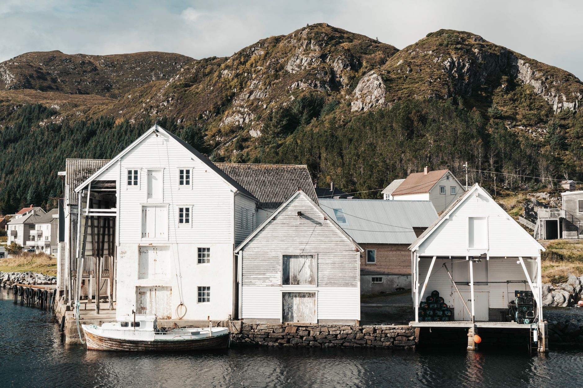
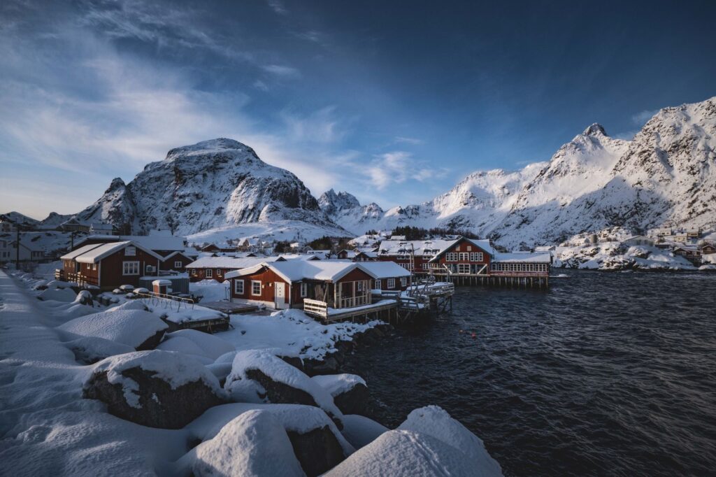
To house thousands of itinerant fishermen arriving during the coldest months for the great fishing season, local communities developed a unique architectural typology: the rorbuer. These wooden buildings, traditionally painted in a characteristic iron oxide red—the most economical and durable tone available in the 19th century—stand on wooden stilts directly anchored to submerged reefs at tidal level. Half of the building projects out over the water, allowing fishing boats to moor directly beneath the doorway.
The timber used in these shelters is native red pine, a material that flexibly withstands the onslaught of Arctic storms without transmitting the destructive rigidity of stone. Their modular structure allowed for rapid assembly and excellent ventilation against marine humidity. Today, the conversion of these former seasonal lodgings into sustainable tourism spaces represents one of Northern Europe’s most lucid exercises in heritage preservation, keeping the exterior volume and utilitarian character of the original interiors completely intact.
The rorbu is not merely an aesthetic shelter facing the North Sea; it is an architectural fossil that embodies a community’s extreme adaptation to the scarcity of solid ground.
Alongside the rorbuer, Lofoten’s cultural landscape is completed by the characteristic hjell, enormous truncated pyramid-shaped wooden racks that populate every square meter of available coastline. Between February and June, these frames support thousands of cod heads hung in the open air. The unique combination of saline air, constant wind, temperatures slightly above freezing, and an absence of excessive humidity allows the natural drying of the fish without prior salting—an export product that sustained half of Europe throughout the Middle Ages and the Renaissance.

Navigation Among Skerries and Tidal Currents
The historical communication route in the Lofoten archipelago was never terrestrial, but maritime. For centuries, the fjords and narrow channels separating the islands functioned as the only viable highways. Navigating these waters demanded an encyclopedic knowledge of local currents, especially at critical points like the famous Raftsundet channel or the Moskenstraumen strait, where the Atlantic tide, colliding with submarine topography, generates violent whirlpools that inspired Edgar Allan Poe’s literary nightmares and the chronicles of Scandinavian navigators.
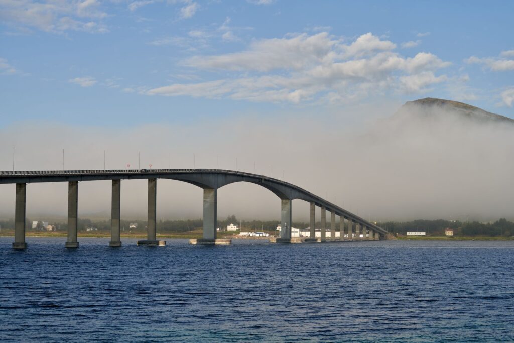
Traditional watercraft, direct descendants of Viking longships, evolved into lightweight double-ended boats capable of riding choppy waves with agility. Fishermen had to read the water’s surface for millimeter-scale alterations revealing submerged reefs or cross-currents. Today, although the E10 route—known as King Olaf’s Road—crosses the archipelago via an intricate network of suspension bridges and undersea tunnels connecting the main islands, the most rigorous perspective of the territory is still gained from sea level.
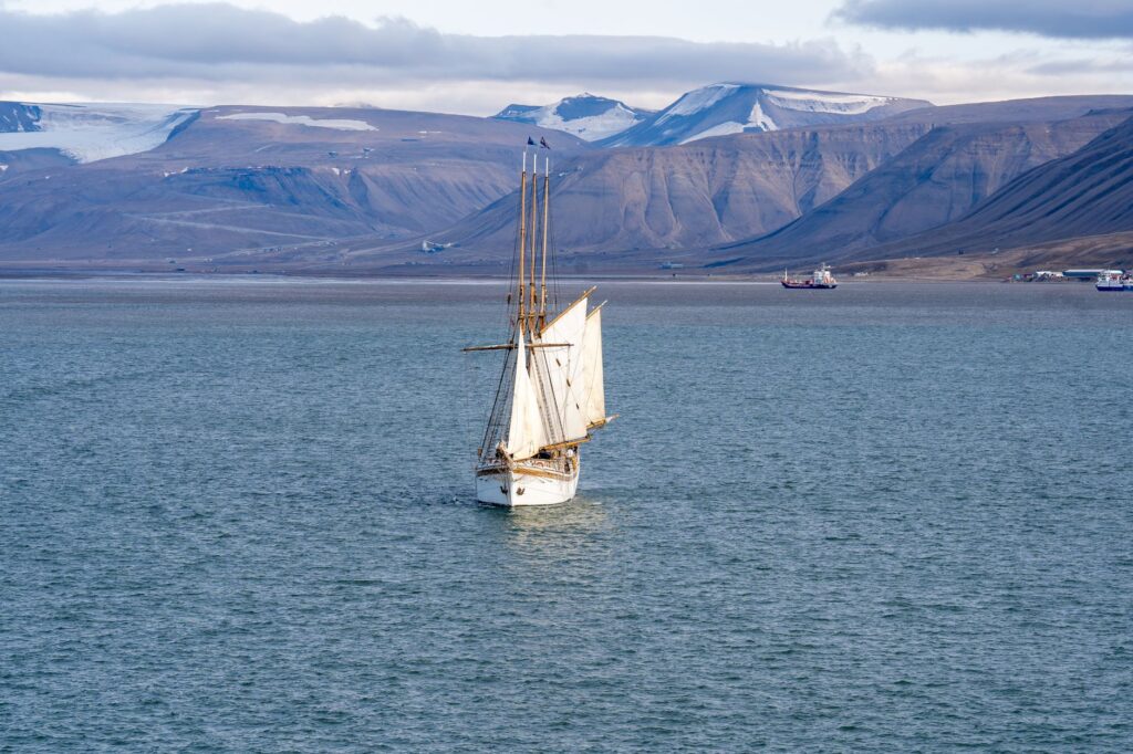
Voyages aboard traditional sailing vessels or small local ferries allow travelers to comprehend the monumental scale of rock faces plunging steeply into the water. Unlike the aseptic speed of modern highways, navigation forces time to slow down, attuning travelers to the cadence of the tide and observing how seabird colonies—such as puffins and white-tailed sea eagles—nest on inaccessible ledges of basalt cliffs.

Sustainability and the Delicate Balance of Arctic Tourism
Over the past decade, Lofoten has transformed into one of the most coveted photographic and landscape destinations on the planet, a phenomenon that has tested the carrying capacity of its fragile insular ecosystems. Municipalities like Moskenes and Vågan have had to implement strict environmental management regulations to prevent the saturation of iconic trails such as the route ascending to the Reinebringen ridge, where massive soil erosion threatened endemic tundra vegetation.
The current strategy of local authorities and regional tourism operators focuses on seasonal diversification and low-intensity tourism. Visits are encouraged during autumn and winter, when the low, golden light of the sun skimming the horizon illuminates snow-capped peaks and offers respectful northern lights viewing, drawing visitors away from the July peak season. This model prioritizes maintaining traditional fishing activity and protecting local fishing grounds from unchecked urban pressure.
The contemporary challenge is to demonstrate that natural and ethnographic heritage must not become a museum set, but rather a living ecosystem where fishermen, marine researchers, and conscious travelers coexist. The implementation of tourism fees destined entirely for hiking infrastructure maintenance and the limitation of large cruise ships in smaller ports are concrete steps toward long-term preservation of this Atlantic frontier.
Practical guide
How to get there: The archipelago features small regional airports in Svolvær (SVJ) and Leknes (LKN), accessible via connecting flights from Bodø. Another classic and highly recommended option is taking the ferry connecting Bodø to Moskenes, allowing travelers to watch the gradual emergence of the Lofoten wall from the sea.
When to go: To observe the skrei fishery and drying racks in full operation, February through April is ideal. If hiking and long daylight hours under the midnight sun are preferred, the optimal period extends from June to August.
Accommodation: Overnight stays in restored rorbuer in fishing villages such as Reine, Nusfjord, or Henningsvær are strongly recommended, ensuring direct immersion in vernacular wooden architecture.
Internal transport: Although a regular bus route runs along the spine of the E10, renting an electric vehicle or using electric-assist bicycles is the best option for accessing isolated coves and peripheral viewpoints with total flexibility.
The Final Refuge of Oblique Light
When late autumn gives way to the polar twilight, the Lofoten archipelago undergoes a chromatic metamorphosis of extraordinary intensity. The ochre tones of the tundra and the deep red of rorbu timber contrast sharply with the cobalt blue of deep waters and the pristine white of early snowfalls on the peaks. In that moment of absolute silence, when the northwest wind subsides and the fjord’s surface turns into a perfect mirror, the territory reveals its true nature: a geological refuge where human time seems suspended before the unaltered grandeur of the Arctic.
Sitting on the wooden pier of a former salting station, with the lingering scent of the sea and the silhouetted profile of mountains reflected in the low tide, synthesizes the essence of a journey that transcends mere visual leisure. It is an exercise in attentive listening to a landscape that has remained virtually unchanged since the last ice age, reminding us that the planet’s most memorable enclaves are not those adapted to our comforts, but those demanding our deep and humble adaptation.