
Introduction to the Great Córdoba Altiplano
The Pampa de Achala is not a conventional plain, but a colossal altiplano suspended more than two thousand meters above sea level in the heart of Córdoba Province, Argentina. This labyrinth of weathered granite, high-altitude grasslands, and crystal-clear streams forms the hydrological roof of the country’s central region, a territory where weather conditions can shift in a matter of minutes and test the resilience of any expeditionary. Unlike the Andean cordillera, whose peaks impose themselves through permanent vertical scale, Achala challenges the trekker through a vast undulating plateau where orientation becomes an exercise in cartographic precision and fine landscape reading.
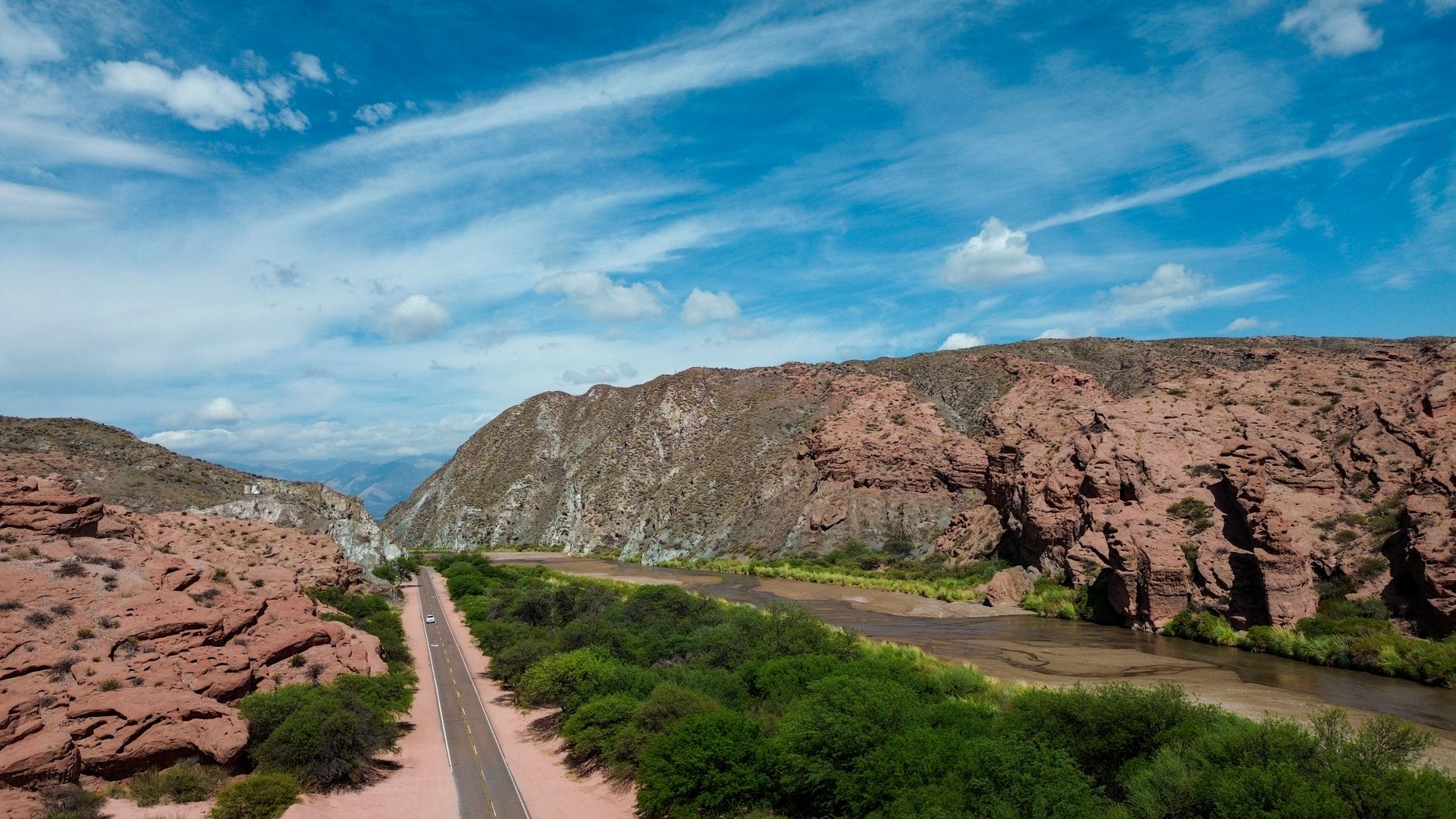
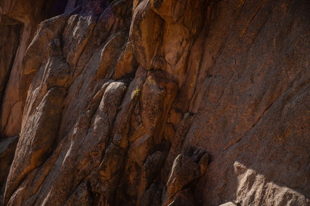
Approaching this geological stronghold requires understanding its geological history and fragile high-altitude ecosystem. Here, pink granite shaped by glacial cycles and wind erosion creates a setting where endemic vegetation, such as the tabaquillo tree and high-altitude maitén, survives clinging to the most sheltered ravines. Hiking across these latitudes does not represent a simple recreational stroll, but a technical immersion in a natural environment as beautiful as it is austere, where logistical self-sufficiency and absolute respect for the climate are the only guarantees of success.
Geography and Climatic Dynamics of the Massif
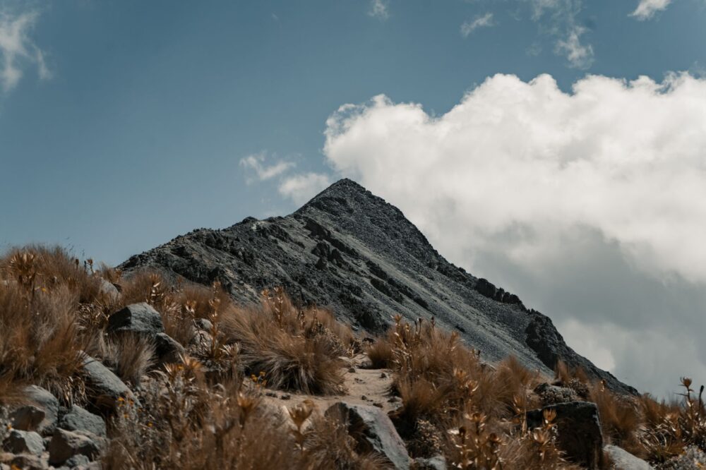
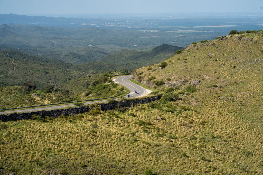
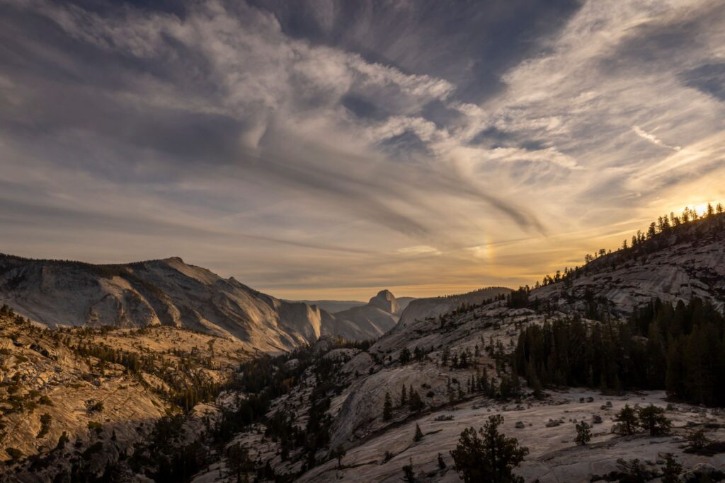
The relief of the Pampa de Achala is characterized by an elevated plateau cut by deep river valleys and ravines with steep slopes. The most emblematic point of this system is Cerro Champaquí, which at 2,790 meters marks the highest elevation in the province. However, the true character of the traverse is experienced in the intermediate uplands, where the horizon expands without truce and exposure to the elements is total. The wind here blows with relentless persistence, shaping the rocks and forcing the trekker to constantly adjust equipment and marching pace.
Understanding Achala’s climatology is fundamental for planning any expedition with safety guarantees. Cold fronts originating from the southern sector, known locally as surazos, can cause temperatures to drop drastically even in the middle of the austral summer, turning a gentle day into a winter survival exercise. Summer electrical storms, characterized by violent discharges and hail, demand rigorous early starts to complete stages before midday, when the atmosphere predictably begins to destabilize over the summits.
Planning and Logistics for the Autonomous Traverse
Organizing a multi-day expedition through the Pampa de Achala requires meticulous focus on equipment selection and ration calculation. As a protected area where human impact must be kept to a strict minimum, logistical planning must embrace the Leave No Trace principle. Every gram carried in the backpack counts; therefore, expeditionaries must balance the weight of provisions and mountain stove fuel with the need to carry appropriate technical clothing to withstand thermal amplitudes exceeding twenty degrees Celsius in a single day.
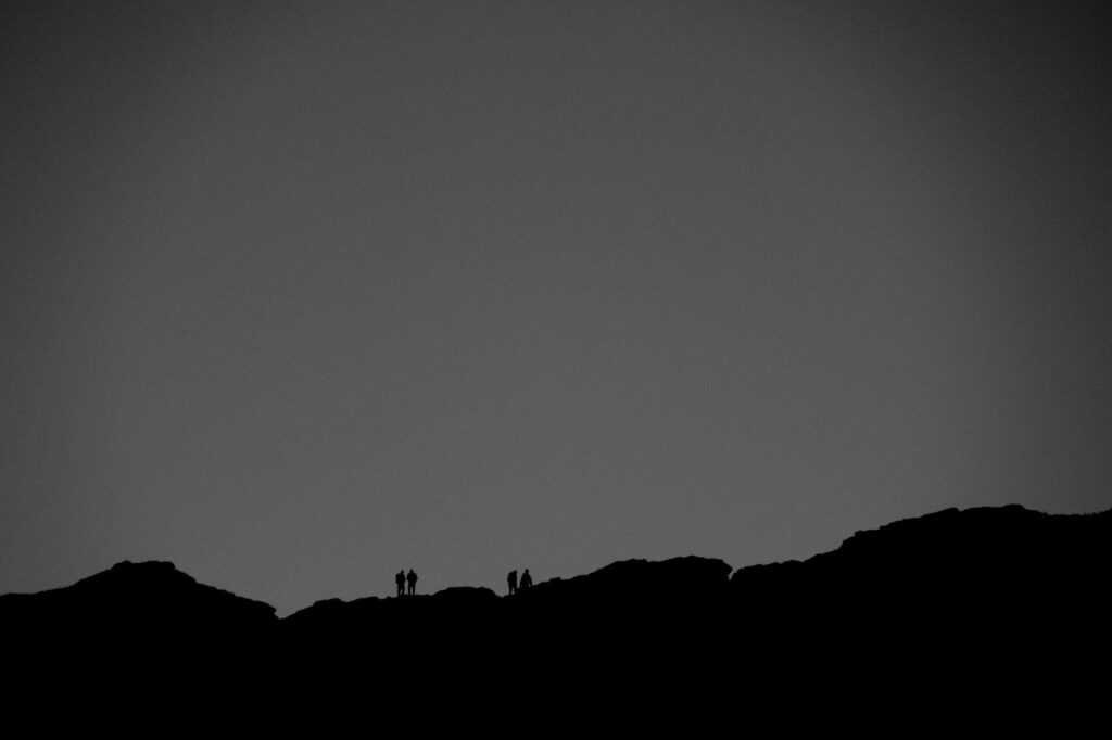
The mountain does not reward reckless audacity, but meticulous preparation and the humility to turn back when the climate enforces its law.
Water sourcing, although facilitated by the abundance of high-altitude springs and streams, demands rigorous filtration and purification protocols. While water courses appear pristine due to the absence of permanent human settlements in the upper reaches, the presence of feral livestock in certain areas makes direct potability unreliable. Likewise, satellite communication or VHF radio systems become indispensable, given that cellular coverage is practically non-existent in deep ravines and the most remote sectors of the plateau.
Granitic Terrain and Progression Techniques
Hiking over the decomposed granite and high-altitude grasslands of Achala demands specific marching techniques. Slopes covered in loose scree and erratic boulders test ankle stability and knee endurance, making the use of trekking poles a mandatory rather than optional resource. Terrain reading must be constant to avoid false trails opened by livestock, which frequently divert the trekker toward boggy terrain or impassable rocky drop-offs without proper climbing equipment.
During periods of maximum exposure, navigation becomes the guiding discipline of the expedition. Dense fog, known locally as the pampa mist, can descend within minutes and reduce visibility to less than five meters, completely erasing horizon visual references. In these circumstances, the complementary use of detailed topographic maps, barometric altimeters, and satellite navigation devices saves lives, preventing groups from becoming disoriented in the monotonous immensity of the altiplano.
Natural Heritage and Conservation in the Heart of Córdoba
The traverse through the Pampa de Achala is not only a physical challenge, but also an exceptional opportunity to understand the biological importance of this insular ecosystem. Isolated by vast expanses of lower, arid lands, the massif functions as a true biogeographic island where exclusive flora and fauna species have evolved. The culpeo fox, the majestic Andean condor soaring over the peaks, and various species of endemic amphibians depend on the health of these damp grasslands and high-altitude peat bogs for their survival.
In recent decades, conservation efforts have intensified through the creation of national parks and provincial reserves aimed at halting historical degradation caused by overgrazing and recurrent wildfires. Hikers and expeditionaries play a fundamental role in this protective machinery, acting as observers and advocates for an environment showing extreme sensitivity to unchecked human pressure. Respecting authorized trails and camping exclusively in designated sites are non-negotiable ethical rules for anyone traversing this fragile mountain sanctuary.
Serrano Culture and Traditional Refuges
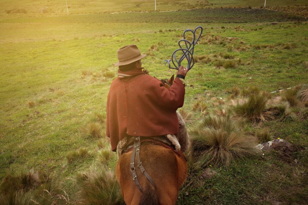
The journey along Achala’s trails is deeply intertwined with the history of local inhabitants, the criollo serranos who for generations have inhabited these rugged heights dedicated to extensive high-altitude livestock farming. These locals, true experts in weather reading and livestock management in rugged terrain, constitute an inexhaustible source of practical wisdom and genuine hospitality. Ancient stone and adobe outposts, strategically dispersed in valley shelters, bear witness to a way of life almost extinct in the modern world.
Many of these historic refuges have been partially converted to offer basic shelter to hikers, providing a secure roof against storms and, occasionally, a hot meal prepared from local ingredients. Sharing the fire with local herdsmen at dusk allows one to understand the worldview of those who consider the mountain not as a sports arena, but as a demanding yet generous home. This human interaction adds an invaluable anthropological dimension to the trekking experience, elevating it above mere physical challenge.
Practical guide
Planning an autonomous traverse through the Pampa de Achala requires compliance with a series of essential logistical and regulatory guidelines to ensure group safety and the preservation of the natural environment.
- Recommended season: The months between May and September offer the most stable conditions regarding precipitation, albeit with very low nighttime temperatures that can drop to minus ten degrees Celsius. From November to March, the climate is milder but dominated by afternoon electrical storms.
- Permits and registration: It is mandatory to complete trekking registration at National Park sections or local Civil Defense bases before starting any march toward high-mountain sectors.
- Mandatory technical equipment: Expedition backpack between 65 and 80 liters, sleeping bag with a sub-zero comfort rating, high-mountain tent resistant to strong winds, water filtration system, advanced first-aid kit, and layered clothing with a waterproof and breathable membrane.
- Transportation logistics: Main access is via Provincial Route 34 (known as the Camino de las Altas Cumbres), connecting from the city of Córdoba or Villa Carlos Paz via scheduled bus services to route waypoints or private vehicles left in designated parking areas.
- Autonomy and water: Water carrying capacity must be planned considering that stretches between permanent streams can exceed three hours of marching under intense sun exposure.
- Rules of conduct: Making fires in unauthorized areas is strictly prohibited, packing out all solid waste is mandatory, and absolute respect for the private property of local ranchers must be maintained.
Final Reflection Under the Southern Mountain Sky
When the sun dips behind the western edge of the summits, the Pampa de Achala transforms into a silent amphitheater where the immensity of the austral firmament acquires breathtaking clarity. Sitting beside the bivouac, with the distant murmur of the wind striking the granite walls, the expeditionary understands that the true value of the traverse lies not in conquering a specific summit, but in the intimate harmony achieved with a landscape that demands full attention and humility. In this elevated corner of the world, every step is a reminder of our own smallness against the monumental architecture of the earth, consolidating an experience indelibly etched into the memory of those who dare to walk its paths of stone and wind.