

Navigating the Waters of North Texas
The pulse of Fort Worth, United States, beats to the slow yet steady rhythm of its river systems. Located in Tarrant County, this city of over one million residents rises above a plain where water has dictated the destiny of its communities long before the arrival of modern maps. Far from any ocean coast, the aquatic adventure in this North Texas enclave unfolds along winding meanders, artificial lakes, and tributaries that thread through prairies and riparian woodlands. Understanding local hydrography requires abandoning the notion of great tidal navigable channels and instead embracing an interior ecosystem where every current responds to complex cycles of seasonal precipitation and dam regulations.
Responsible exploration of these waters demands detailed knowledge of regional meteorology. Spring and autumn months frequently bring severe storms capable of altering the discharge levels of rivers like the Trinity within hours. Planning a kayaking excursion or a reconnaissance hike along its banks entails continuous consultation of official hydrological bulletins and recognizing that safety depends just as much on boat-handling skills as on absolute respect for flash flood warnings. The flat topography, which places the city at an average elevation of about 199 meters above sea level, favors the rapid overflow of creeks when storms from the Gulf of Mexico discharge their humidity over interior Texas.
The Historic Channel and Geographical Setting of Tarrant
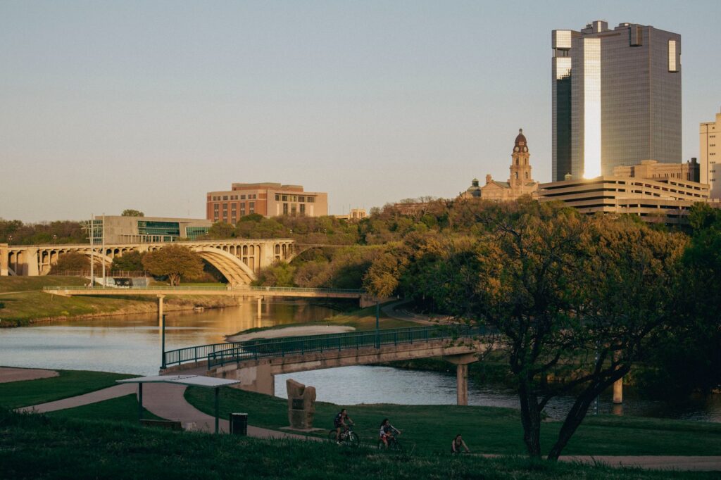
The physical geography of Fort Worth is profoundly shaped by the Trinity River basin, specifically its West Fork which cuts through the urban territory. This river channel not only provided the water sustenance for the original settlement, but today functions as a vital ecological corridor connecting urban parks with protected nature reserves. Unlike alpine rivers or great tropical deltas, the Trinity exhibits moderate current regimes that can nonetheless turn treacherous following episodes of torrential rainfall typical of the region’s humid subtropical climate.
The surrounding terrain is composed primarily of expansive clays and alluvial soils that retain water unevenly. This generates notable variations in the landscape across seasons. During the summer months, temperatures frequently exceed thirty-five degrees Celsius, reducing the flow of minor creeks and demanding rigorous hydration management and sun protection from boaters and hikers alike. Conversely, winters tend to be mild yet prone to sudden cold fronts known as «blue northers,» which plunge the thermometer within hours and radically transform water safety conditions.
Subtropical Climate and Seasonal Water Variations
Fort Worth’s climatic regime imposes strict rules on any outdoor expedition. The interaction between warm air masses from the gulf and dry western fronts creates a dynamic environment where meteorological predictability is a rare luxury. For those venturing into inland navigation or shoreline activities, reading the morning sky is a task as crucial as checking equipment status. Brief yet intense summer thunderstorms require immediate shelter and discourage any attempt to remain on open surfaces or unprotected watercourses.
Currents in urban and peri-urban water bodies, such as Lake Worth or the various sections of the Trinity River, fluctuate according to gate operations at upper flood-control dams. This human intervention in the hydrological cycle means water levels and velocities do not depend solely on local rainfall. Sports enthusiasts and nature lovers must familiarize themselves with reservoir management protocols and maintain fluid communication with Tarrant County wildlife and park authorities before planning any extended journey.
Water in the Texan landscape is never a passive element; it sets the pace for survival, agriculture, and responsible recreation in a territory of extreme climatic contrasts.
Protecting these fragile aquatic ecosystems constitutes one of the greatest challenges for local administration and visitors alike. Urban runoff, generated by the metropolis’s vast paved surfaces, washes sediments and pollutants into river channels, altering water quality and threatening native fauna. Consequently, conservation regulations strictly prohibit waste dumping and promote low-impact practices, such as non-motorized boating in designated areas and rigorous respect for nesting zones used by riparian birds.
Interior Maritime Culture and Ranching Heritage
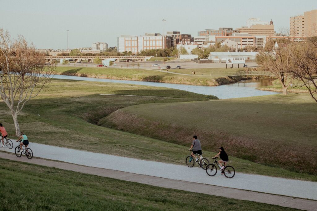
Although Fort Worth is globally renowned for its cowboy imprint and cattle-driving history, the city’s relationship with water possesses a cultural depth frequently overshadowed by myths of the American West. Ancient cattle trails crossed the very same river valleys that now draw water sports enthusiasts. This superposition of historical and geographical eras endows exploration with a unique narrative dimension, where every bridge, lock, or ancient ford tells a story of human adaptation to a demanding natural environment often unforgiving to the unprepared.
The local amphibious culture manifests in the proliferation of rowing clubs, watershed conservation associations, and educational programs aimed at raising awareness about urban wetland preservation. Far from seeking mass-tourism experiences, explorers who choose this destination find a community devoted to protecting its natural heritage, eager to share safe navigation rules and traditional knowledge regarding local current behavior in the face of impending seasonal floods.
Water Safety and Protocols in North Texas Channels
Tackling an aquatic route in Fort Worth requires absolute mastery of interior water safety protocols. The presence of submerged obstacles, logs dragged by past floods, and unforeseen variations in riverbed depth turn navigation into an activity demanding constant attention. The use of approved personal flotation devices is not merely a sensible recommendation, but a legal requirement in all reservoirs and rivers under Tarrant County jurisdiction.
Likewise, local water rescue teams stress the need to avoid swimming in unauthorized areas, especially following periods of heavy precipitation, when undertows and hidden eddies multiply accident risks. Route planning must always include alternative exit points and an operational communication channel, given that mobile phone coverage can become intermittent in the more wooded and remote zones of the peripheral river valleys.
Riparian Ecosystem Conservation and Native Flora
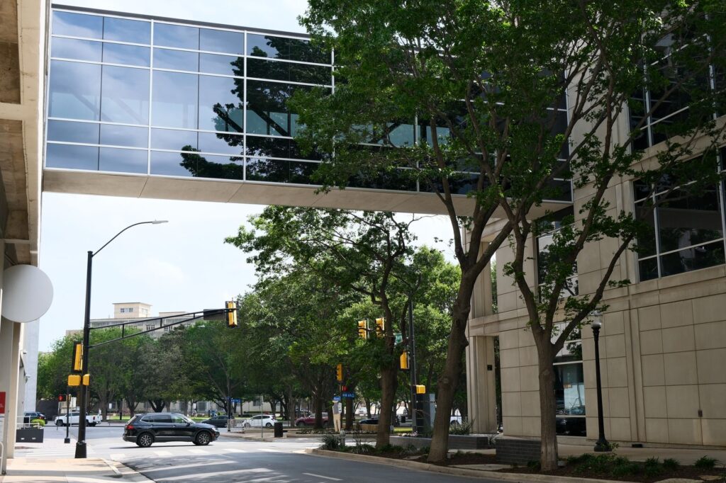
The ecological balance of Fort Worth’s riverbanks rests upon a rich diversity of native vegetation, featuring black willows, eastern cottonwoods, and extensive native grass prairies acting as natural buffers against erosion. Protecting these green corridors is indispensable for maintaining water quality and securing habitats for numerous migratory bird species, freshwater fish, and small mammals adapted to the riparian environment.
Local conservation organizations promote cleanup and reforestation efforts where residents and visitors alike can actively collaborate. These initiatives seek to mitigate human activity impacts and preserve natural landscape integrity against the metropolitan area’s continuous demographic growth. Respect for flora and fauna is not a mere bureaucratic requirement, but the sole path to ensuring future generations can continue enjoying North Texas’s aquatic biodiversity.
Logistical Planning and Physical Preparation for Adventure
Fully enjoying Fort Worth’s adventure and nature offerings requires logistical preparation as rigorous as that applied in any alpine or desert environment. Knowing distances between access points, verifying nature park opening hours, and possessing updated topographic maps are essential steps before embarking on any journey on foot or in light watercraft along the Trinity riverbanks.

Physical preparation, while not requiring the ascent of high summits, should focus on endurance under conditions of extreme humidity and heat during warm months, as well as the ability to walk across muddy or uneven terrain following seasonal floods. Constant hydration, appropriate footwear for wet surfaces, and the choice of breathable UV-protective clothing are as critical as carrying a well-stocked first-aid kit and a reliable orientation system.
True respectful exploration begins the moment travelers acknowledge their responsibility toward the fragile balance of the natural environment they visit.
Practical guide
How to get there: Dallas-Fort Worth International Airport (DFW), located a few kilometers northeast of the city, offers global air connections. From there, access to the urban center and riparian zones is conveniently handled via rental cars or the metropolitan public transit network.
When to go: Spring months (March to May) and autumn (September to November) offer the most favorable weather conditions for outdoor exploration, featuring moderate temperatures and lower probabilities of extreme heatwaves.
Permits and regulations: Navigation in public lakes and rivers requires compliance with Texas Parks and Wildlife Department ordinances. Personal flotation devices are mandatory for every passenger, and access restrictions in strict conservation zones must be strictly observed.
Climate safety: Always consult local weather forecasts and Trinity River flood advisories before initiating any activity on the water or on riverside trails near main channels.
Final Reflection on the Texan Aquatic Landscape
Fort Worth’s gentle facade hides a complex network of natural interactions deserving traversal with all five senses alert and utmost respect for the surroundings. By shedding urban clichés and immersing oneself in the contemplation of its currents, travelers discover a territory where water, far from being a mere resource, constitutes the very soul of a landscape in constant transformation. Adventure here lies not in conquering unexplored peaks, but in the ability to read with humility and rigor the changing signs of a river that continues shaping the history of North Texas.