
Burnaby, Canada: The Green Refuge Where Urban Ravines Sustain Daily Memory
Located in the heart of the Vancouver metropolitan region, the Canadian city of Burnaby rises over a whimsical terrain where forested slopes and river valleys determine the urban layout. Far from the frantic rhythm of the major coastal metropolises, this territory in British Columbia has grown by protecting its natural spaces. The streams descending from the higher elevations meander among residential neighborhoods, creating ecological corridors that act as green lungs and refuges for local wildlife. Walking through its streets means verifying how geography is not flattened with asphalt, but rather integrated into the daily life of its inhabitants, who live daily with the imposing presence of Douglas firs and red cedars in Canada.
The average altitude, which hovers around eighty-seven meters above sea level, offers exceptional natural viewpoints toward the Strait of Georgia and the snowy northern peaks. This rugged topography historically divided the municipality into distinct sectors, facilitating the development of autonomous communities around traditional commercial nodes. Today, those former centers continue to set the pace for neighborly coexistence, resisting architectural homogenization through tree-lined squares, local markets, and small neighborhood shops that foster a deep sense of belonging within the Canadian community.
A Landscape Sculpted by Hills and Ravines
The local geography is a permanent testament to the glacial and fluvial action that shaped western Canada. The slopes descending toward the Fraser River harbor microclimates where native flora thrives without artificial interference. Local residents have successfully defended these green corridors against real estate pressures, turning every ravine into an urban biodiversity sanctuary. This respect for the physical environment defines the identity of a locality that prefers to preserve the original topography rather than level the ground to gain concrete meters.
The hiking trails crossing the ravines allow citizens to disconnect from the metropolitan bustle in a matter of minutes. When walking along these shaded paths, the murmur of water and the song of native birds remind us that nature is not a decorative element foreign to the city, but rather the foundation upon which the daily life of its neighborhoods is sustained.
The Legacy of Tramways and Urban Transformation
The modern history of Burnaby is intimately linked to the expansion of early 20th-century electric transportation lines connecting Vancouver to New Westminster. That streetcar network not only facilitated the transport of goods and passengers but also drew the initial contours of the current residential nuclei. Around the main stops emerged small commercial enclaves that over the years would become the vibrant centers of the neighborhoods. The memory of those urban railway tracks still endures in the layout of certain avenues and in the pedestrian structure of historical districts.
As the population grew, well exceeding two hundred thousand residents in Canada, the local administration opted for a development model concentrated in dense urban centers connected by protected natural spaces. This approach allowed the preservation of large expanses of mature forest, such as those surrounding Burnaby and Deer lakes. The old transportation routes gave way to a network of pedestrian paths and bike lanes allowing travelers to cross the city from east to west without ever leaving the shelter of native vegetation.
Life Around the Great Lacustrine Spaces
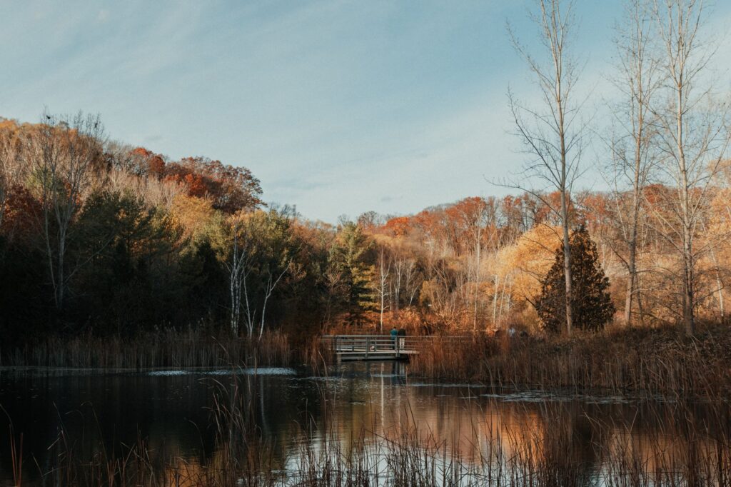
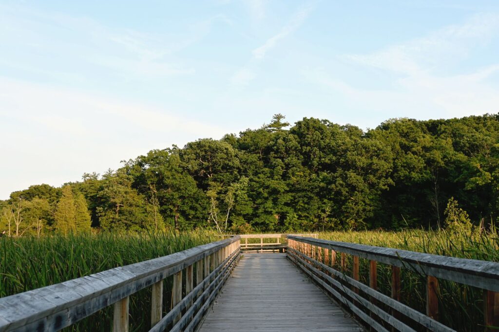
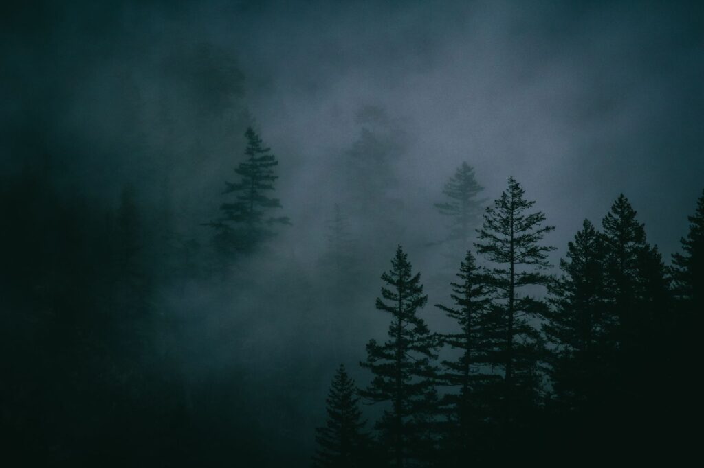
Burnaby Lake, situated in a glacial depression, constitutes the ecological and recreational heart of the municipality. Its surrounding wetlands host a rich biodiversity including migratory birds, beavers, and amphibians, turning it into an open-air classroom for naturalists and neighbors. Unlike other metropolitan parks hypertrophied by human intervention, this environment maintains a fragile yet resilient balance where wooden boardwalks allow strolling over the water without altering natural habitats. Cold autumn and spring mornings cover the lake’s surface with a fine layer of misty neoprene that blurs the contours of trees and the urban skyline.
Very close by, the Deer Lake cultural and natural complex adds a historical dimension to the lacustrine landscape. Restored early-century mansions, trails flanked by giant ferns, and spaces dedicated to visual arts attract those seeking to understand the region’s social evolution. It is not a theme park, but a living space where local families stroll during weekends, celebrating the tradition of living near the water and the forests characterizing the Canadian Pacific coast.
The Multicultural Fabric in Markets and Squares
Burnaby’s demographics reflect one of the most diverse societies in western Canada, a cultural mosaic naturally expressed in its neighborhood markets, community centers, and public festivals. Successive migratory waves have enriched the social fabric, contributing culinary and commercial traditions that coexist harmoniously with Euro-Canadian and Indigenous heritage. In traditional grocery establishments, local products can be found alongside spices imported from Asia and Europe, reflecting the invisible routes connecting its residents with the rest of the world.
This cultural exchange also translates into highly active civic engagement. Community centers in neighborhoods like Metrotown or Brentwood are not mere sports complexes, but neuralgic points where educational programs, craft workshops, and neighborhood meetings converge. It is in these spaces that everyday decisions shaping local life are made, from managing urban gardens to protecting the centennial trees flanking residential sidewalks.
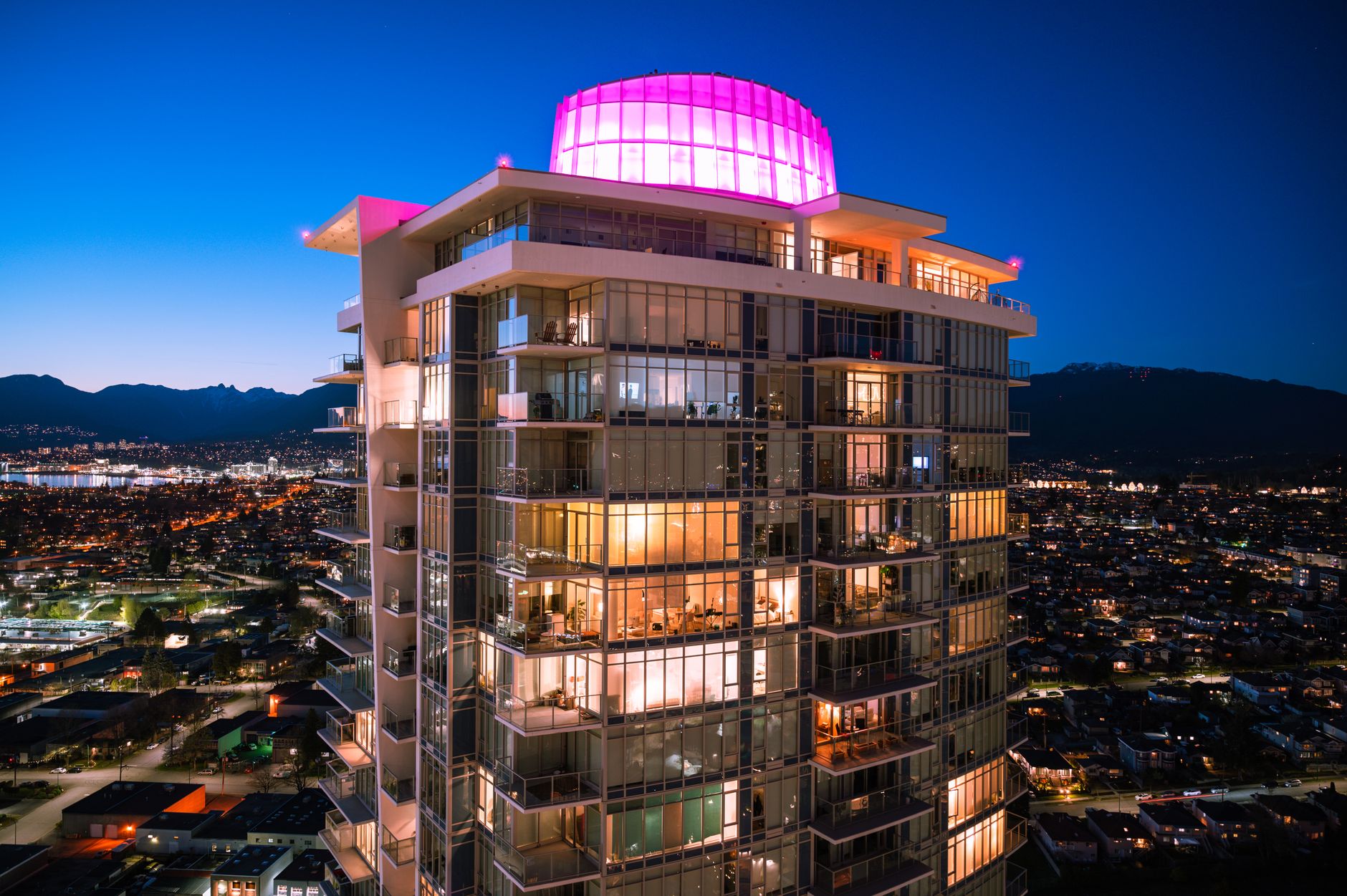
The true identity of this territory does not reside in its large glass towers, but in the capacity of its inhabitants to preserve green spaces amid concrete and share community life on rainy days.
The University on the Summit: Science and Landscape
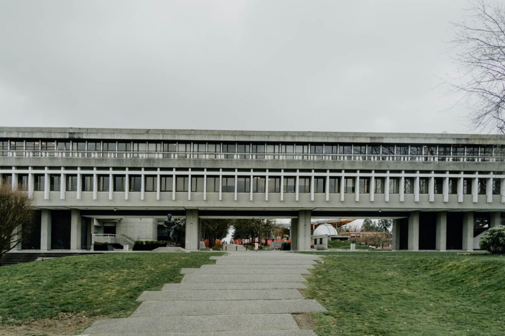
Crowning the peak of Burnaby Mountain is the campus of Simon Fraser University, an architectural and intellectual landmark inaugurated in the 1960s. Designed by renowned architects Arthur Erickson and Geoffrey Massey, the university complex stands out for its massive use of exposed concrete and open plazas oriented toward the ocean and surrounding valleys. Beyond its academic value, the campus functions as a privileged viewpoint and a heavily frequented public space for citizens who come to stroll through its geometric courtyards and enjoy panoramic views over the strait.
The integration of this monumental complex into pristine mountainous nature posed an urban planning challenge anticipating contemporary debates on sustainability and intervention in fragile environments in Canada. Today, trails descending from the university toward lower residential districts allow students and neighbors to connect academic activity with the tranquility of secondary forest, consolidating a symbiotic relationship between scientific knowledge and respect for the physical environment.
Sustainable Practices and Responsible Mobility
Facing the challenges of demographic growth, Burnaby’s urban planning has prioritized active mobility and efficient public transport as backbone axes of local sustainability. The integration of multiple rapid transit stations has reduced reliance on private vehicles, channeling daily commuting flows toward clean railway corridors. This network is complemented by an extensive bicycle infrastructure winding through the valleys, facilitating daily commutes carried out in direct contact with the open air.
Likewise, municipal policies promote the creation of green roofs, rainwater harvesting, and the strict protection of urban watersheds. Neighbors actively participate in stream reforestation and riverbank cleanup programs, a collective effort demonstrating how sustainability here is not merely an institutional guideline, but a cultural practice rooted in the daily care of the territory within the Canadian context.
Practical Guide
How to get there: The main access to Burnaby is via the SkyTrain metropolitan rail system from Vancouver, connecting main stations in a few minutes. It also features direct road access via the Trans-Canada Highway.
When to visit: Spring and summer months offer mild temperatures ideal for exploring forest trails and lakes. Autumn brings an exceptional chromatic palette to urban parks with the changing color of leaves.
Where to stay: Hotel offerings concentrate mainly around shopping and transportation centers like Metrotown and Brentwood, facilitating mobility toward natural attractions and the neighboring city of Vancouver.
Local gastronomy: Neighborhood markets offer a wide variety of culinary options reflecting the city’s multicultural diversity, highlighting artisan pastry, fresh British Columbia produce, and high-quality Asian cuisine.
Etiquette tips: Respecting marked trails in natural parks is essential to protect native flora and fauna. The use of public transport and rigorous waste separation in public spaces is especially valued.
The Murmur of the Forest at Dusk
When the sun begins to descend behind the coastal peaks of Canada, golden light pierces fir tree canopies and casts elongated shadows over park trails. In that transitional moment, the city seems to halt its march and recover the original quietude of river valleys. Neighbors return home walking under the cool dimness of trees, while the murmur of water in the streams reminds us that, beneath the surface of modern development, Burnaby remains a refuge where nature discreetly sets the pace of life.