A Territory in Redefinition
For decades, the international narrative regarding El Salvador was dominated by the urgency of its urban crises and the grief of a massive diaspora. Yet, in the silence of its highlands and the volcanic geography defining its skyline, another reality was taking shape. Today, the country articulates a profound transformation driven by the creation of new tourism circuits and adventure expeditions designed to decentralize visitor flows. This is not merely a matter of signposting paths or paving access roads; it is a conscious exercise in territorial sovereignty where rural communities, previously marginalized by instability, take charge of their own economic and cultural development.
This report explores how these emerging routes are reshaping the way travelers experience Central America’s smallest nation. From the northern ridges of Chalatenango to the Flower Route and the marine flanks of the eastern Pacific, adventure ceases to be a packaged product and becomes a direct dialogue with an indomitable topography and a resilient collective memory. Modern expeditions demand a sharp gaze, distant from conventional sun-and-sand circuits, to delve into the geological and anthropological secrets of a country that has chosen to reveal its most authentic face.
Volcanic Topography and High-Altitude Expeditions
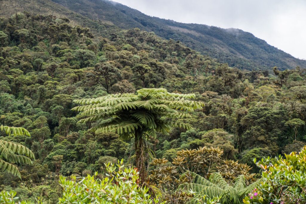
The backbone of El Salvador consists of an active volcanic chain that dictates both its fertility and its vulnerability. New adventure circuits harness this tectonic energy to offer technical trekking journeys and physically demanding ascents. Santa Ana volcano, locally known as Ilamatepec, and the Apaneca-Ilamatepec complex are no longer distant postcards; they are settings for guided expeditions involving sustained marches through cloud forests and basaltic ash slopes. Recent trail openings in less explored zones of the San Salvador volcano and the flanks of Chichontepec allow hikers to comprehend the sheer scale of a land sculpted by fire.
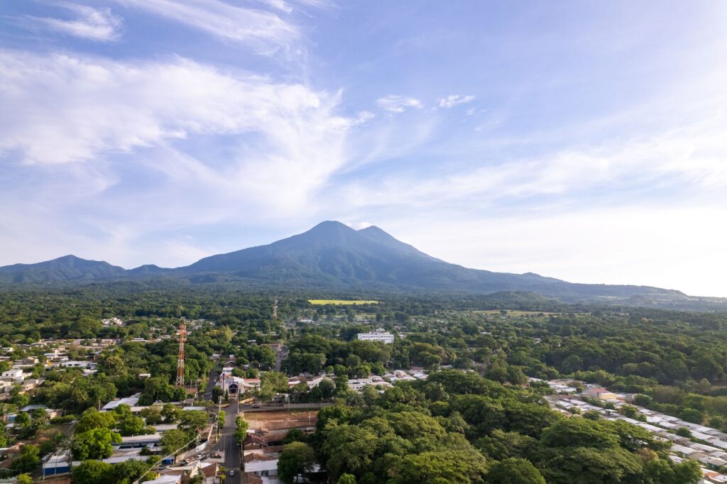
Local authorities and independent operators have implemented strict regulations to govern access to these fragile areas, ensuring that increased visitor numbers do not degrade high-altitude ecosystems. Hikes require physical preparation, proper equipment for drastic temperature shifts, and the mandatory accompaniment of certified local guides. These experts not only lead the route but interpret the historical seismology of the terrain, explaining how past eruptions shaped the valleys and aquifers that sustain millions of Salvadorans today.
The Role of Communities in Risk Management and Hospitality
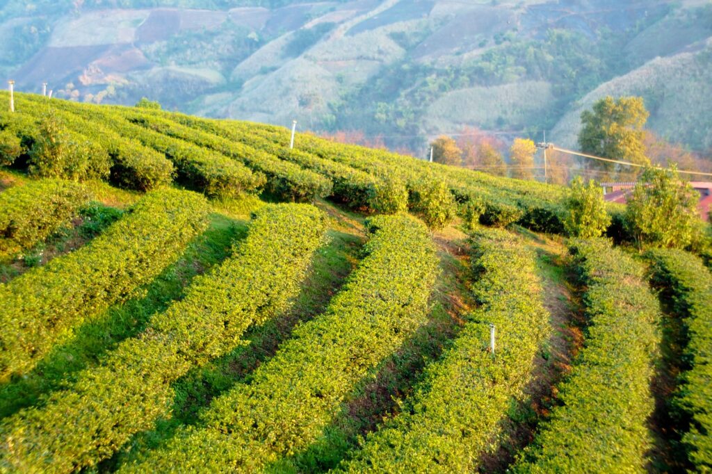
The opening of these adventure circuits would not have been possible without community organization in remote rural areas. In municipalities like La Palma or Concepción de Ataco, local cooperatives have taken over the administration of mountain hostels, interpretation centers, and guide networks. This decentralization of adventure tourism generates a direct socioeconomic impact, reducing dependence on family remittances and anchoring the younger population to their places of origin. Visitors venturing into these routes participate in a circular economy where every dollar spent on lodging, provisions, or guiding stays within the community.
The true adventure in contemporary El Salvador does not lie in conquering unexplored summits, but in crossing the borders of mistrust to understand a social fabric rebuilding itself from the ground up.
Unlike traditional tourist enclaves, where visitors remain isolated from local reality, new expedition routes promote respectful coexistence. Hikers share spaces with coffee farmers who have adapted their estates for sustainable agritourism, demonstrating shade-grown cultivation processes that protect migratory bird biodiversity. This interaction transforms the traveler into a conscious observer, capable of valuing the nuances of a rural lifestyle that combines indigenous Nahua-Pipil traditions with colonial heritage.
Architecture, Mobility, and Connectivity Along Emerging Routes
The development of these new tourism circuits has been accompanied by notable investment in road infrastructure and connectivity, facilitating transit between the coastal strip and the mountain range. The modernization of secondary roads has significantly reduced travel times, allowing an expedition to combine the ascent of volcanic peaks with the exploration of towns featuring colonial and republican architecture within the same day. However, this infrastructural drive presents urban and rural planning challenges to prevent disorderly growth in areas of high scenic value.
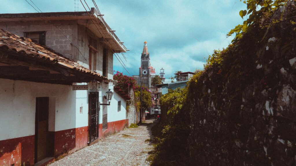
In locations like Suchitoto and Joya de Cerén, efforts focus on preserving historical urban layouts and archaeological heritage while absorbing a more dynamic tourism flow. Adobe and clay-tile architecture now coexists with tourist information centers equipped with digital technology, facilitating access to trail maps, weather forecasts, and early warning systems in case of volcanic activity. Sustainable mobility, through the promotion of mountain biking and the use of adapted public transport, is beginning to gain ground against the historical dominance of private vehicles.
Infrastructure Challenges Amid Climate Change
Salvadoran geography is inherently fragile in the face of extreme weather events, a reality that planners of new tourism circuits cannot ignore. Intense precipitation during the rainy season triggers landslides on mountain routes, requiring constant maintenance and the implementation of bioengineering works to stabilize slopes. Adventure operators have had to train in evacuation protocols and emergency management, coordinating closely with Civil Protection to ensure the safety of expedition members.
This environmental vulnerability underscores the necessity for rigorous, well-informed tourism. Sector authorities have emphasized that the growth of adventure circuits must remain subordinate to environmental impact assessments, avoiding overcrowding in critical micro-watersheds and aquifer recharge zones. Infrastructure constructed within these projects prioritizes local materials and low visual-impact designs, seeking harmonious integration with the natural environment rather than imposing invasive structures.
Cultural Heritage and Living Memory Along the Trails
Navigating El Salvador’s new circuits is also an exercise in social archaeology. In the departments of Morazán and Chalatenango, historical hiking routes cross landscapes guarding the memory of the late 20th-century armed conflict. These itineraries do not seek to trivialize suffering, but rather serve as a historical pedagogy exercise through the direct testimony of communities inhabiting the territory. Visitors traverse former guerrilla camps integrated into the thick forest canopy, guided by veterans and local youth who interpret these landscapes as sanctuaries of memory and reconciliation.
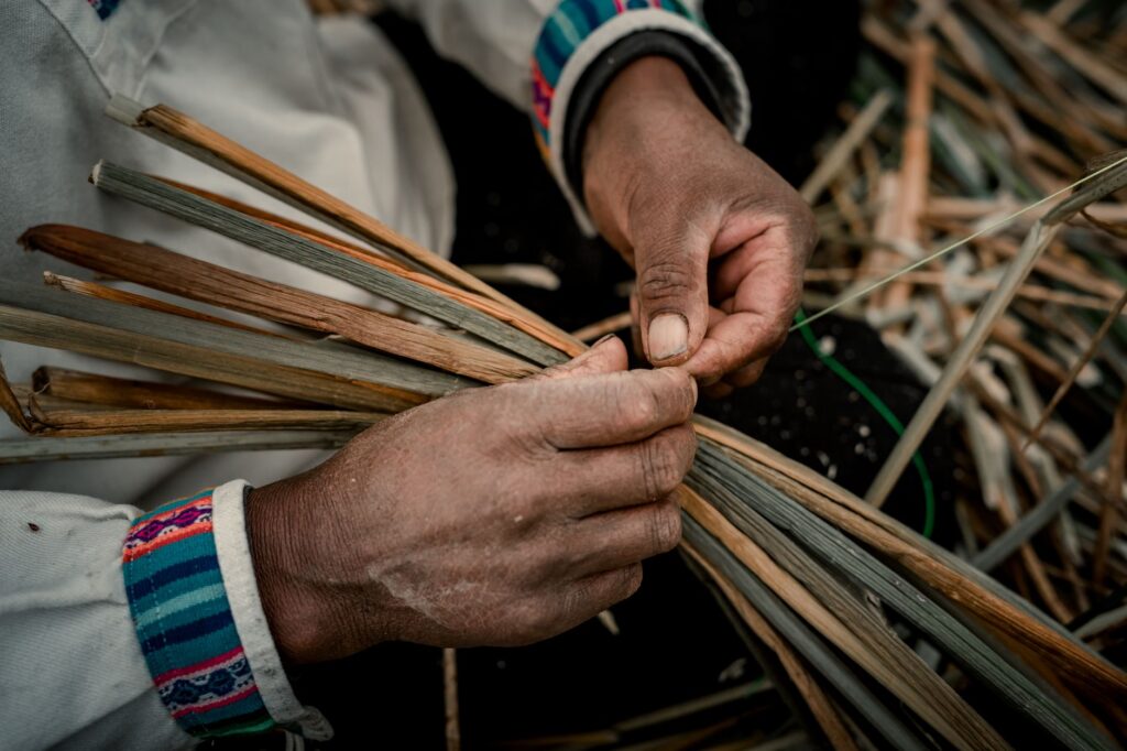
Simultaneously, in the country’s western region, anthropological routes connect travelers with the vestiges of Nahua-Pipil culture. The rescue of oral traditions, gastronomy based on native corn, and the revitalization of indigo and pottery craft workshops form an integral part of the cultural adventure offering. This multidimensional approach demonstrates that tourism in El Salvador has matured: it is no longer limited to offering adrenaline or aesthetic contemplation, but proposes a deep immersion in the historical complexities of a nation in constant transformation.
The contemporary traveler arriving in El Salvador seeks answers to the dilemmas of a society that overcame extreme violence and now rediscovers its beauty in the small details of daily life.
Gastronomy plays a fundamental role in this cultural journey. Municipal markets in towns like Nahuizalco or La Palma have been formally integrated into tourism circuits as culinary stations where visitors can taste endogenous products, from artisanal chocolate to ancestral preparations based on loroco and chipilín. This valuation of the local strengthens territorial identity and combats the processes of cultural homogenization typical of tourism globalization.
Practical guide
How to get there: El Salvador International Airport (SAL), located in La Paz, receives daily flights from major North and Central American cities. From the terminal, hiring authorized private transport or renting four-wheel-drive vehicles is recommended to access mountainous areas.
Best time to visit: The dry season, spanning from November to April, offers the most stable conditions for trekking and outdoor exploration. The rainy season (May to October) features greener landscapes and roaring waterfalls, but requires heightened caution regarding potential road blockages in the mountain range.
Entry requirements and security: Citizens of the European Union and North America do not require visas for tourist stays under 90 days, though presenting a passport with a minimum validity of six months is mandatory. Consulting updated travel advisories from foreign ministries and purchasing medical insurance covering adventure sports is advised.
Recommended equipment: Breathable technical clothing, high-grip hiking boots, lightweight waterproof jacket, biodegradable sunscreen, insect repellent, and water purification systems for multi-day routes in areas remote from urban centers.
The Final Heartbeat of the Land
At dusk, when mist begins to descend over the highland coffee plantations and the volcanic cone casts its kilometer-long shadow across the central valley, El Salvador reveals its true nature. It is neither a destination of static postcards nor artificial resorts, but a vibrant territory where the land itself seems to breathe to the rhythm of its recent history. The expeditions currently traversing its ridges and valleys are not only opening new paths on maps; they are also building a bridge of empathy and understanding between the traveler and a people that has chosen to narrate its own future with the unwavering strength of its volcanoes.
Source: El Salvador boosts new tourism circuits, retrieved from elsalvador.com via Google News.