Introduction to the Great Green Labyrinth of the South
The Orinoco Delta is not merely a geographical accident where fresh water empties into the Atlantic Ocean; it is a vast amphibious territory in constant mutation, an infinite network of channels, overflows, and estuaries where solid ground is a provisional concept. In this colossal scenario, distance is not measured in kilometers of asphalt, but in hours of navigation aboard hand-carved wooden watercraft, the true pulse that keeps the Warao population united. Covering more than forty thousand square kilometers of mangroves, flooded forests, and shifting sediments, this region represents one of the last strongholds where human connectivity depends entirely on riverine expertise and an intimate knowledge of the tides.
Far from conventional tourist circuits, daily life in the delta unfolds to the rhythm of seasonal floods and lunar cycles. Local communities have inhabited these riverbanks for millennia, adapting their architecture, diet, and travel routes to an environment where water serves simultaneously as a path, a larder, and a border. Understanding mobility in the Orinoco means delving into a transportation system where artisanal naval engineering and mental cartography passed down through generations far surpass any satellite technology.

The Architecture of Water: The Stilt House as Refuge and Dock
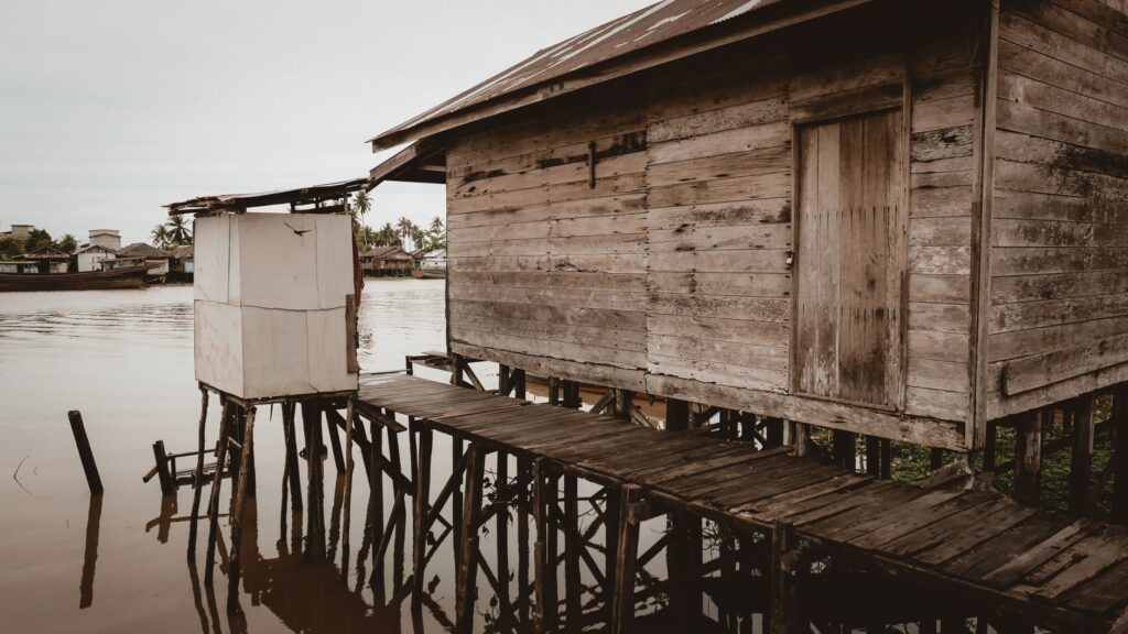
Building upon moisture-resistant wooden piles is not merely an aesthetic or cultural choice, but an imperative necessity dictated by fluvial dynamics. Along the main channels such as the Manamo, Macareo, or Pedernales, Warao dwellings rise several meters above the average water level, connected to the shore by precarious walkways that act as makeshift docks. These floating or suspended structures allow families to keep their homes safe from sudden floods caused by mountain rains or the push of Atlantic tides penetrating dozens of kilometers upstream.
Each stilt house functions as a miniature logistical hub. On the lower platform, at water level, canoes are moored and products gathered from the forest or caught in the rapids are unloaded. This architectural layout turns the threshold of the home into a basin where human transit and the natural flow of the current converge symbiotically. The wood used, primarily moriche palm, not only provides sustenance and craft material, but endows buildings with structural flexibility capable of withstanding the constant onslaught of the current.
The Estuary Canoe: Naval Engineering of the Jungle
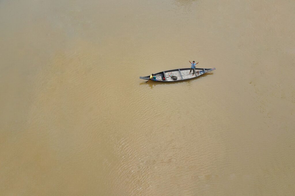
If the stilt house is the station, the canoe carved from a single log of wood is the universal vehicle of the delta. Built using ancestral techniques combining the axe, fire, and manual polishing, these watercraft range from small single-person canoes to large dugout curiaras capable of transporting entire families along with their harvests and belongings. Choosing the right timber is a rigorous process requiring the identification of mature trees that offer buoyancy and strength without compromising stability in turbulent or shallow waters.
Handling these vessels demands absolute mastery of balance and hydrological reading. An experienced paddler knows how to interpret surface turbulence to spot hidden sandbanks, submerged logs, or treacherous countercurrents. On long journeys, which can last days between a settlement and commercial exchange hubs like Tucupita, synchronization in paddling is vital to optimize physical effort against the constant resistance of the downstream current.
The canoe is not a simple means of transport in the delta; it is an extension of the human body and the only key capable of opening the doors to a territory where land roads simply do not exist.
River Cabotage Routes and Exchange Markets
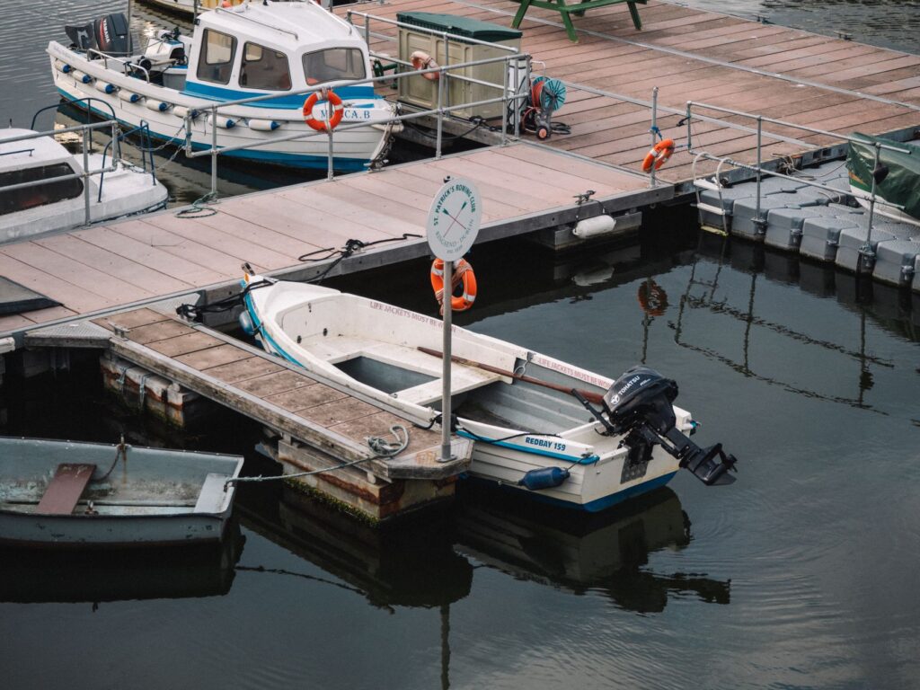
The delta’s economic connectivity relies on a complex network of cabotage routes where traditional paddle canoes, outboard-powered motorboats, and heavier cargo falcas coexist. These motorized vessels, locally known as voladoras, have transformed travel times, reducing multi-day journeys to just a few hours. However, their dependence on fuel and costly spare parts introduces constant vulnerability into the economy of riverside communities, which must often alternate between modern technology and traditional propulsion methods depending on resource availability.
The meeting points of this river network are floating markets and improvised riverbank ports, where fresh fish, moriche palm products, bitter cassava, and basketry crafts are traded for manufactured goods, tools, and fuel. These enclaves act as true nerve centers where seasonal migratory flows, traditional knowledge, and contemporary commercial dynamics converge, drawing a unique map of economic interdependence in northern South America.
The Impact of the Tide: When the River Flows Backward
One of the most fascinating and challenging phenomena for navigation in the Orinoco Delta is dynamic tidal influence. Despite being located dozens or even hundreds of miles from the Atlantic outlet, ocean tides make their presence strongly felt, causing channels to reverse the direction of their current cyclically twice a day. For Warao navigators, this phenomenon is not an obstacle, but a temporal planning tool that must be rigorously incorporated into every journey.
Paddling with the incoming tide allows travelers to ascend channels with minimal physical effort, while utilizing the ebb tide facilitates descent toward the coast or secondary settlements. Ignoring this hydrographic cycle can mean stranding in mudflats for hours or being swept into impenetrable mangrove labyrinths. Synchronization with the marine rhythm is therefore the most refined cartography possessed by the delta dweller.
Amphibious Knowledge and Intergenerational Transmission
The survival of this amphibious connectivity system rests upon the shoulders of the youth, who from an early age learn the trade of navigation and boatbuilding alongside their elders. There are no written manuals or nautical academies in the delta; the school is the channel itself, and the teacher is the patriarch or mother who instructs youngsters on identifying currents, dodging woody debris, and navigating through the thick morning fog covering the estuaries.
This repertoire of knowledge also includes the pharmacopeia of the flooded forest, sustainable fishing techniques based on lunar phases, and a profound respect for the protective spirits of the water. In an era marked by modern pressures and geographical isolation, passing down this knowledge serves as the most solid foundation for preserving Warao identity against environmental and economic shifts shaking the region.

Practical guide
Planning a respectful and well-documented approach to the Orinoco Delta demands logistical rigor and a clear understanding of the territory’s geographical limitations. Below are essential guidelines for navigating travel dynamics in this region:
- Main Access Point: The city of Tucupita, in Delta Amacuro State, acts as the overland entry port and fundamental logistical hub for hiring authorized river transport.
- Watercraft and Transport: Travel into the interior of the channels is conducted exclusively via outboard motorboats operated by local Warao guides or specialized tour operators based in riverside camps.
- Climate Seasonality: The region experiences two distinct seasons; the rainy season (May to November) facilitates navigation through smaller channels due to increased water volume, while the dry season (December to April) concentrates traffic in main riverbeds.
- Permits and Regulations: Visiting indigenous communities requires prior authorization arranged through local communal councils or agencies with established ethical protocols to prevent disrupting daily life.
- Health and Equipment: Keeping vaccinations up to date, rigorous protection against tropical insects, gastrointestinal medications, and watertight waterproof systems for electronic gear and documents are essential.
- Currency and Commerce: Cash in national currency or low-denomination foreign currency is necessary in interior communities, though bartering food and goods remains common in remote areas.
- Accommodation: Lodging is limited to rustic eco-lodges built on stiles along the main channel banks, equipped with basic solar energy and sanitation systems adapted to the amphibious environment.
The Reflection of Water in Warao Memory
At dusk, when the surface of the channels turns into a perfect mirror duplicating the blazing tropical sky, the delta seems to halt its breathless pace. It is the moment when canoes slowly return to the stilt houses, laden with the fruits of daily harvesting and wrapped in the respectful silence of the falling twilight. In that suspended instant, amphibious connectivity ceases to be a mere logistical matter and transforms into a profound poetry of belonging, a tangible reminder that humanity can integrate fully into the relentless rhythms of nature without altering or subduing them.