
Introduction to the Southern Highlands
Iceland’s interior wilderness, known as the Highlands or Highlands, represents one of the most geologically young, volatile, and fascinating landscapes on the planet. Unlike the inhabited coastal fringes, this volcanic desert remains inaccessible for the majority of the year due to deep snow, unpredictable storms, and swollen glacial rivers. Within this extreme geographical context, the Laugavegur trail—connecting the hot springs of Landmannalaugar with the glacial valley of Þórsmörk—stands out as the country’s most celebrated hiking route and a paramount logistical challenge for any expeditioner.
The central question guiding this traverse is not merely physical, but adaptive: how can the modern trekker safely navigate an ecosystem where the ground literally breathes sulfurous vapor, where weather alters radically within minutes, and where absolute self-sufficiency is the sole guarantee of return? Far from constituting a casual recreational stroll through nature, covering these fifty-five kilometers requires understanding the complex interaction between tectonic activity, wind erosion, and glacial hydrology. Every step over black ash and multicolored rhyolite serves as a reminder of the Earth crust’s instability along the Mid-Atlantic Ridge.
Boiling Geology: The Birth of the Landscape in Landmannalaugar
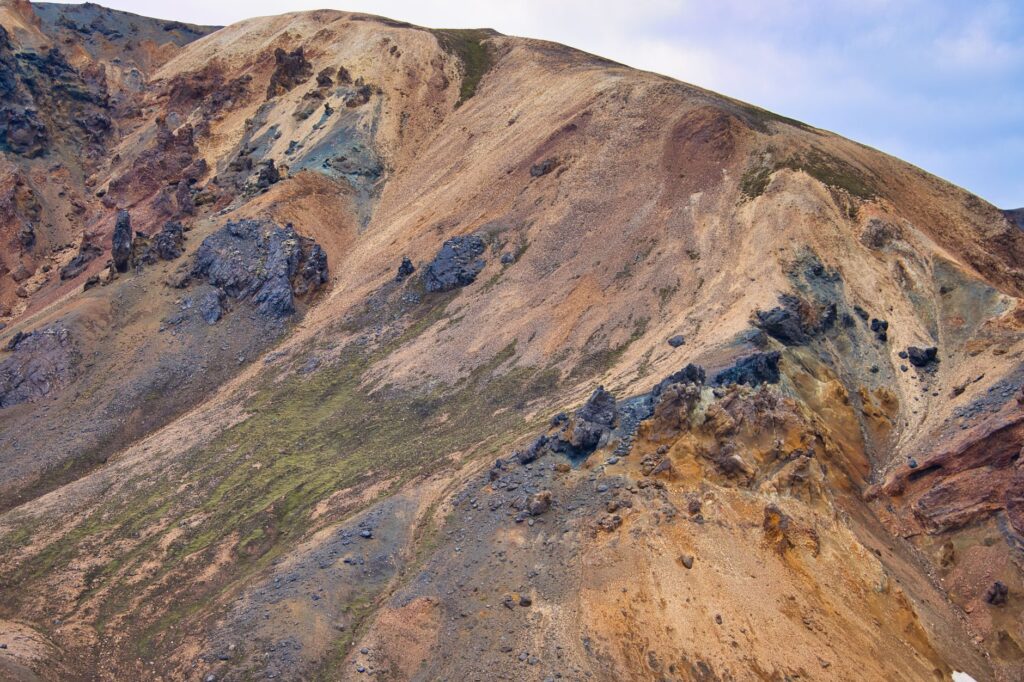
The starting point of the route, Landmannalaugar, lies on the edge of the Torfajökull volcanic complex. Here, a high concentration of rhyolite—a silica-rich extrusive rock—grants the mountains an unusual chromatic palette ranging from intense ochre and moss green to deep red and cobalt blue. Geothermal activity is constant; pools of boiling water bubble alongside cooled lava fields originating from historical eruptions, such as that of 1477. For the hiker, this trailhead offers not only an overwhelming visual spectacle but also the first technical test: the steep ascent through the Laugahraun lava field, where sharp rock and steep grades demand rigorous footwear with high-friction rubber soles and sturdy ankle support.
Gear management in this initial phase proves decisive. Trekking boots must withstand both the abrasive nature of volcanic stone and the constant moisture of minor streams. Likewise, exposure to catabatic winds forces hikers to carry advanced technical membrane windbreakers. The complete absence of arboreal vegetation means there are no natural barriers against the elements; any gust originating from the Mýrdalsjökull glacier channels directly down the valleys, drastically shifting thermal perception within seconds.
Traversing the Ash Desert: Hrafntinnusker and Álftavatn
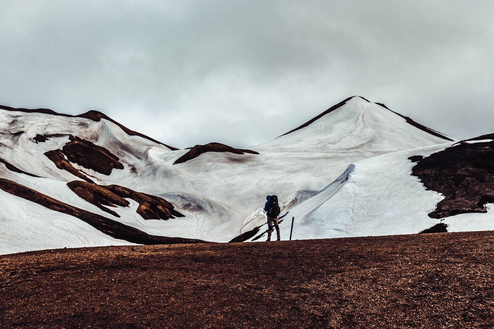
As the route ascends from the thermal valley, the landscape shifts radically. Colorful mountains give way to elevated plateaus dominated by perpetual snow and black volcanic ash deserts known as sandur. On this leg toward the Hrafntinnusker refuge, situated over one thousand meters above sea level, weather conditions frequently deteriorate with alarming speed. Dense fog, locally known as þoka, reduces visibility to mere meters, turning navigation into a critical task that demands GPS devices and up-to-date topographic maps.
The subsequent descent toward the Álftavatn valley reveals the vastness of glacial lakes and the conical silhouette of the Stóra-Grænahryggur volcano. It is in this section that the trekker confronts the first major fluvial challenge of the traverse: crossing bridge-free streams. The water, fed directly by snowmelt, carries fine sediment that muddies the current, making it impossible to gauge true depth. Crossing technique requires discarding trekking poles to use them as a tripod-style brace against the current, crossing diagonally in a human chain if traveling in groups, and wearing neoprene booties to protect feet from extreme cold and sharp riverbed boulders.
The Labyrinth of Obsidian and the Canyons of Hvanngil
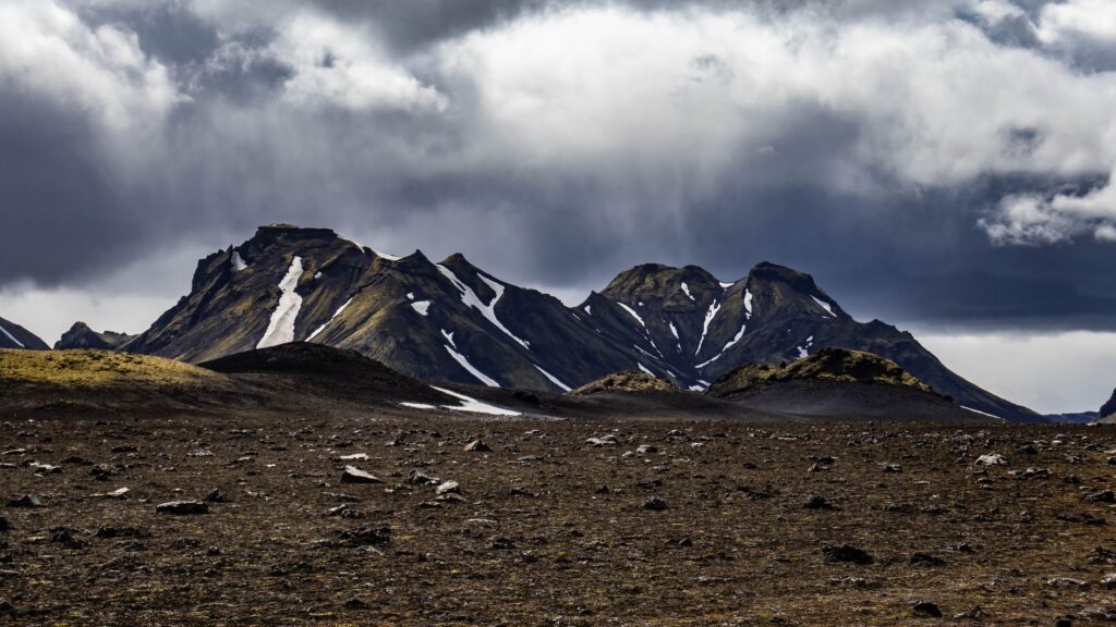
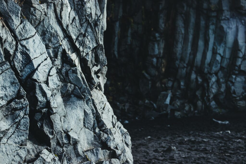
Continuing southward, the trail meanders through the Markarfljótsgljúfur canyon and the columnar basalt formations at Hvanngil. This segment stands out for its extensive fields of obsidian, a natural volcanic glass with extremely sharp edges that demands millimeter-level precision with every foot placement. A stumble in this zone can slice technical backpack fabric or cause deep wounds, underlining the importance of carrying an advanced first-aid kit complete with elastic bandages and adhesive suture strips.
Vegetation makes a timid appearance in sheltered valleys, where Icelandic moss (*Racomitrium canescens*) forms spongy carpets retaining rainwater. However, this fragile ecosystem is exceptionally sensitive to human traffic. Deviating from cairn markers destroys decades of slow plant growth in volcanic soil, an ecological damage that local environmental wardens (*varðmenn*) strictly monitor around primary refuges.
Between Twin Glaciers: Emstrur and the Botnar Canyon
The middle segment of the traverse unfolds between the Mýrdalsjökull and Eyjafjallajökull ice caps—the latter internationally famous for its 2010 eruption. At Emstrur, the landscape transforms into a deep river canyon carved by the Bláfjallakvísl river. Vertical walls of volcanic tuff drop precipitously into milky torrents that relentlessly erode soft rock. Crossing the suspension bridge over the gorge offers a vertiginous perspective of the erosive force of water in southern Iceland.
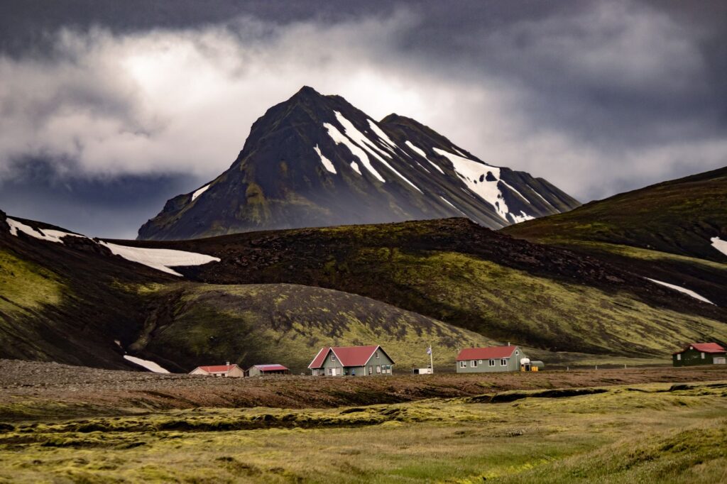
In this zone, camping and overnight hut logistics require booking many months in advance. Bunk spaces in the Álftavatn, Hvanngil, Emstrur, and Þórsmörk refuges are strictly limited, and regulations prohibit camping outside designated areas due to soil fragility. Facilities are basic yet functional: featuring shared bunk rooms, cold running water, and geothermal or gas heating systems, though users must carry their own alpine-rated sleeping bags and all their provisions, as there are no grocery stores along the trail.
The Gate of the Gods: The Descent to Þórsmörk
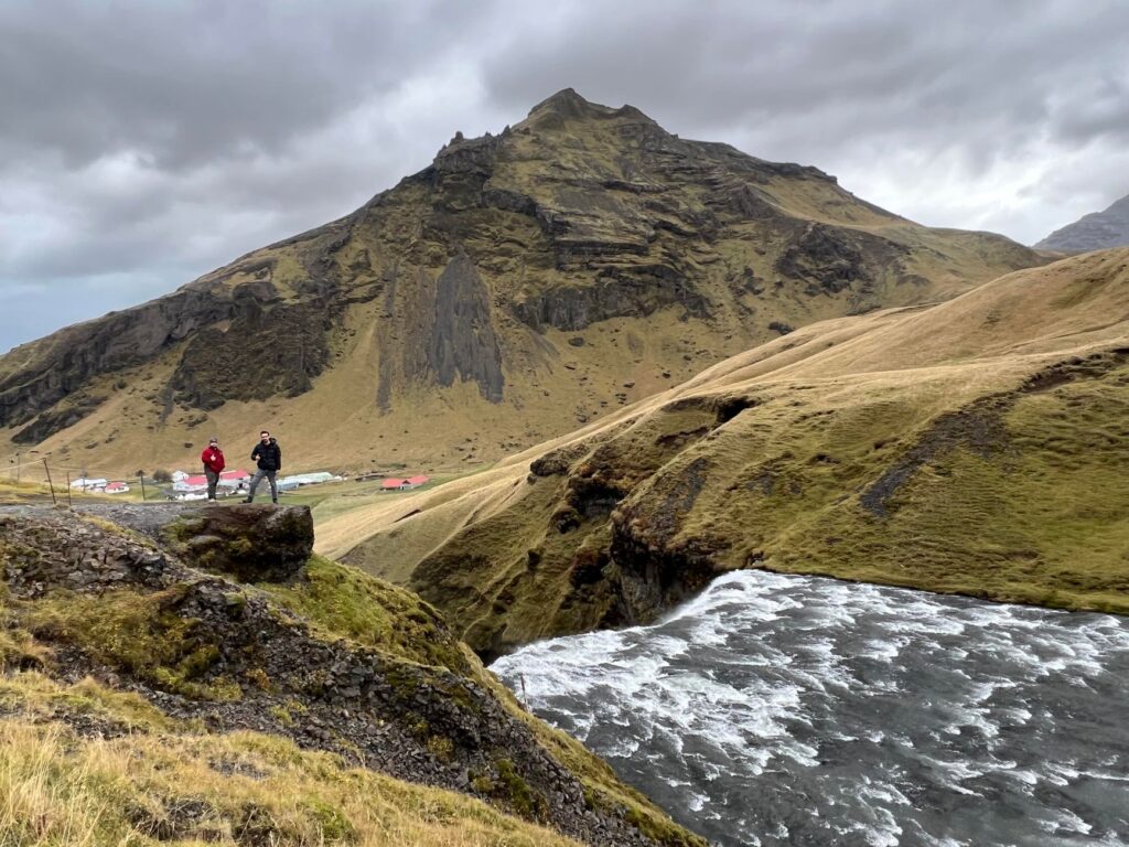
The final stretch of the Laugavegur descends gradually into the forested valley of Þórsmörk, a protected sanctuary of dwarf birch (*Betula pubescens*) and tall ferns that contrasts violently with the ash deserts of previous stages. This microclimatic shift is due to the natural shelter provided by surrounding glaciers against northern polar winds. The trail winds along the slopes of Mount Tindfjöll, offering panoramic views over the Krossá river valley, the expedition’s final and most hazardous obstacle.
The Krossá river is notorious for its rapid, unpredictable current laden with glacial silt. Crossing it on foot without mechanical assistance is strongly discouraged for inexperienced hikers. Most expeditioners choose to finish the route on the northern riverbank or utilize authorized 4×4 modified transport vehicles (known as *super jeeps*) operating as permitted ferries. Þórsmörk serves not only as the terminus of the Laugavegur but also as the connection point to other legendary routes like the Fimmvörðuháls trail, which climbs directly between the Magni and Móði craters.
The wind in the Highlands does not merely blow; it pushes, defines, and sculpts both the landscape and the resolve of anyone daring to walk it without backup other than their own gear.
The experience gathered upon completing this itinerary leaves an indelible mark on the traveler. This is not a sporting conquest, but an exercise in profound humility before the titanic scale of the geological processes shaping the island. Proper planning, absolute respect for meteorological warnings from the Icelandic Meteorological Office (*Veðurstofa Íslands*), and rigorous management of survival equipment are the only valid passports returning from this volcanic sanctuary.
Practical guide
How to get there: The starting point, Landmannalaugar, and the end point, Þórsmörk, are inaccessible by standard passenger vehicles. Using scheduled off-road buses operated by companies such as Reykjavik Excursions or Sterna from the BSÍ terminal in Reykjavik is mandatory, or alternatively, renting high-clearance 4×4 vehicles.
Recommended season: The optimal operational window spans the summer months, specifically from late June through early September, when mountain huts are staffed and river fords maintain relatively lower discharge volumes.
Permits and accommodation: Overnight stays in the route’s refuges (Ferðafélag Íslands – FÍ) must be reserved months in advance via their official digital platform. The same rule applies to designated campsites adjacent to each hut.
Mandatory technical gear: High-cut waterproof membrane boots, triple-layer GORE-TEX jackets and trousers, telescopic trekking poles, neoprene booties or sandals for river crossings, handheld GPS with offline downloadable maps, compass, and a satellite communication device (PLB or inReach).
Food and self-sufficiency: There are no grocery purchase points along the entire route. High-calorie freeze-dried meals, a lightweight gas stove (gas canisters are sold at primary huts), and a water purification system or purifying tablets must be carried.
Visual Epilogue in the Smáfjöll Valley
A few kilometers from the Húsadalur logistics center, the final rays of the Arctic sun pierce the evening mist to dye the slopes of Smáfjöll a deep amber hue. Sitting upon a boulder covered in grey lichen, the expeditioner contemplates the distant profile of the Eyjafjallajökull glacier merging with the leaden sky. The silence of the Highlands, interrupted solely by the distant murmur of a meltwater stream, seals the experience. Here, upon the threshold where subterranean fire and millennial ice continue their eternal dialogue, the journey concludes not with an arrival, but with the silent certainty of having inhabited, if only for a few days, the indomitable heart of the Earth.