
Southern Iceland conceals beneath its crust one of the most dynamic ice masses on the planet. The Vatnajökull glacier is not merely a static geographical feature, but a geological monster in constant motion that sculpts caves, feeds monumental lagoons, and challenges any traveler attempting to cross its white expanse. Planning a mechanical expedition over this ice cap demands millimetric rigor, where knowledge of local meteorology and equipment selection admit no margin for error. The white immensity enforces its own laws, compelling expedition members to understand that every kilometer gained on the snowmobile is an exercise in respect toward an environment as beautiful as it is unforgiving.
Venturing into the Vatnajökull requires abandoning any conventional notion of travel. Traditional routes vanish beneath meters of compacted snow and blue ice, leaving only GPS coordinates and the experience of local guides as reliable compasses. The logistics of these traverses are organized from strategic bases situated at the foothills of the glacier, near Skaftafell or Höfn. From these starting points, heavy machinery and the fuel required for journeys of total autonomy must be calculated to the millimeter, anticipating the drastic shifts that characterize subarctic weather.
The Geography of Ice: Understanding Europe’s Largest Ice Cap
Covering an area exceeding eight thousand square kilometers, Vatnajökull accounts for roughly eight percent of Iceland’s total territory. Beneath its thick layer of ice, which in some areas reaches a depth of one thousand meters, active volcanic systems such as Grímsvötn or Öræfajökull remain hidden. This duality between polar cold and geothermal heat generates a fascinating phenomenon: subglacial magma chambers that heat trapped water, creating hidden lakes and occasionally releasing sudden floods known locally as jökulhlaups.
For expedition teams, understanding this subterranean geography is vital. Crevasses are not randomly distributed; they follow stress lines caused by underlying volcanic topography and the speed at which ice flows toward surrounding valleys. Compression and expansion zones demand extremely cautious navigation, where harnesses and safety ropes are non-negotiable, even when traveling aboard snow-adapted motorized vehicles.
Ice is not a firm floor; it is a frozen river descending slowly toward the sea, carrying with it the geological memory of centuries.
Surface conditions shift dramatically between the dark winter and advanced spring. While January and February offer a homogeneous blanket of powder snow accompanied by extreme temperatures and severely limited daylight, April and early May combine extended daytime visibility with patches of blue ice and wet snow. This seasonal transition forces constant adjustments to support tire pressure and travel speeds within snowmobile caravans to prevent dangerous slides on steep inclines.
Mechanical Engineering and Adaptation to Polar Terrain
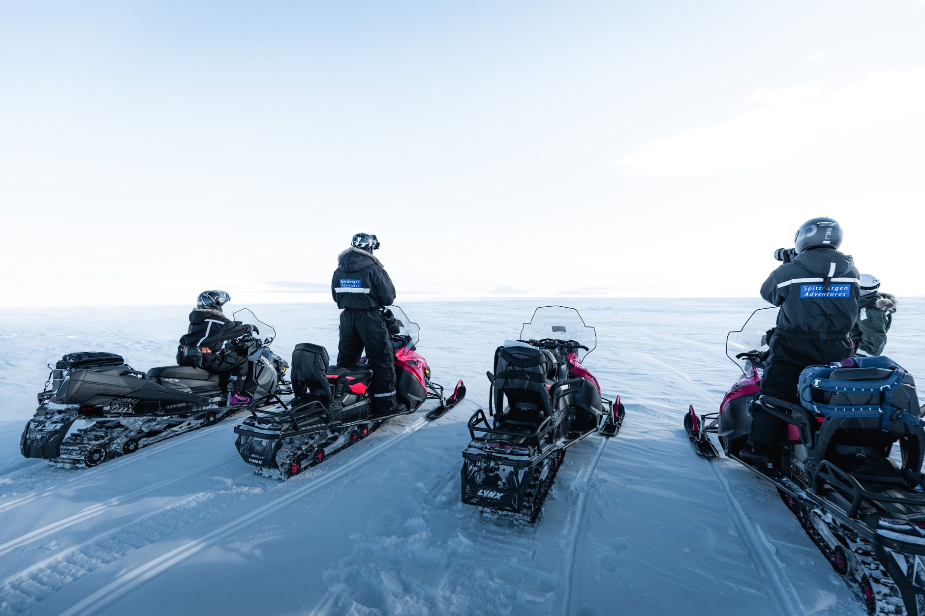
Choosing the right machine separates a successful expedition from a high-mountain rescue. The snowmobiles deployed on Vatnajökull must feature high-displacement four-stroke engines optimized to perform efficiently under low atmospheric conditions and temperatures plunging to minus thirty degrees Celsius. Furthermore, tracks must be wider than standard models to ensure optimal flotation over the soft snow found across high ice fields.
Route maintenance is another critical discipline every expedition member must master. Drive belts suffer accelerated wear due to constant friction against abrasive ice and shifting slopes. Carrying specific spare parts, lightweight tools, and emergency starter systems is part of the daily protocol. Likewise, fuel consumption increases exponentially when ascending glacial ridges, requiring each transport unit to tow lightweight sleds loaded with sealed drums of high-octane gasoline.
Satellite communication becomes the vital umbilical cord to the outside world. Conventional mobile phone networks vanish within kilometers of entering the glacial tongue. GPS tracking devices, long-range VHF radios, and Personal Locator Beacons (PLBs) are mandatory equipment for every participant. Snowstorms, known locally as *hríð*, can reduce visibility to zero within minutes, turning an open landscape into a white trap where visual orientation becomes impossible.
Navigation Strategy and Subarctic Weather Reading
Navigating Vatnajökull is an exercise in constant meteorological reading. Low-pressure fronts advancing from the North Atlantic crash relentlessly against southern Iceland’s mountainous barrier, dumping massive quantities of snow and generating hurricane-force winds. Professional guides analyze synoptic maps and wind models before every departure, seeking stable windows to complete exposed sections without risking the column.
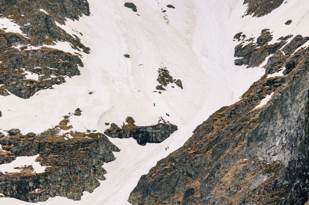
The whiteout phenomenon represents the greatest psychological and technical hazard on the glacier. When the sky fills with a uniform layer of gray clouds and the ground consists of immaculate snow, shadows vanish entirely. The horizon dissolves, and the brain loses the ability to distinguish slopes, crevasses, or changing terrain textures. Under these conditions, progress must proceed at walking pace or within strict single-file formation, guided by inertial navigation systems and radar reference points pre-installed by rescue teams.
Morning inspection of fuel injection systems and antifreeze levels on every snowmobile.
Verification of battery charges in GPS devices and satellite radios.
Mandatory use of category 4 UV-blocking lenses to prevent snow blindness from ice glare.
Establishment of mandatory regrouping protocols every three kilometers in high-crevasse zones.
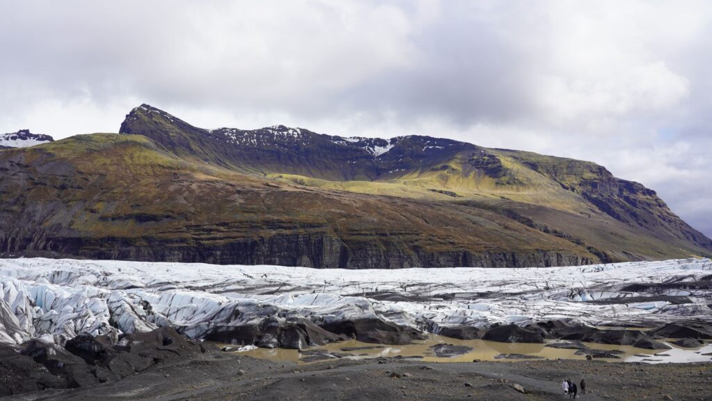
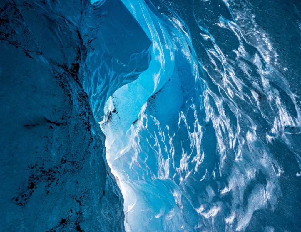
Despite the harshness of the setting, the traverse delivers peerless visual rewards. From the highest ridges of the ice cap, travelers can gaze upon the imposing silhouette of Hekla volcano in the distance, or watch glacial tongues wind downward toward the Atlantic Ocean, creating striking chromatic contrasts between black volcanic ash and the electric blue of ancient ice. These moments of relative calm amply compensate for the physical and mental demands of the route.
Environmental Impact and Sustainability in Fragile Ecosystems
Adventure tourism on Vatnajökull operates under intense environmental supervision. Global temperature increases are driving the accelerated retreat of Icelandic ice masses, a phenomenon closely monitored by scientists. Commercial and technical expeditions bear the ethical and legal responsibility to minimize their carbon footprint and prevent any accidental spills of oils or fuels onto the white surface.
Local operators collaborate closely with the Icelandic Meteorological Office and Vatnajökull National Park authorities to rotate transit routes, avoiding excessive snow compaction in sensitive areas. Furthermore, waste management during high-mountain overnight stays is strictly enforced: everything brought onto the glacier must return to the coast. Preserving this sanctuary of ice depends directly upon the discipline of those who visit it.
The fragility of Icelandic ice reminds us that even the most monumental structures on Earth are vulnerable to global climate change.
Electric propulsion technology for snow vehicles is currently being tested in southern Iceland’s testing grounds, though battery limitations under extreme temperatures remain a major technical hurdle. Meanwhile, current engine efficiency and route optimization through advanced navigation algorithms remain the primary tools for mitigating the environmental footprint of these mechanical traverses.
Practical guide
How to get there: The logistical starting point for Vatnajökull expeditions is the town of Höfn or the Skaftafell area, accessible from Reykjavík via the Ring Road (Route 1) in a drive lasting approximately four to five hours by 4×4 vehicle. Independent access to the glacier without certified guides is strictly prohibited.
Best time for expedition: The months between March and May offer the optimal balance of extended daylight, relative meteorological stability, and snow conditions navigable by mechanical vehicles.
Mandatory technical equipment: Wind- and waterproof thermal suit, high-altitude polar mountaineering boots, homologated full-face helmet with dual visor, heated gloves, climbing harness, and personal satellite communication device.
Permits and regulations: Hiring local guides authorized by the Association of Icelandic Mountain Guides (AIMG) and registering the route plan with ICE-SAR emergency services is mandatory before initiating any traverse across the ice cap.
Logistical accommodation: Adventure-tourism-specialized hotels in the coastal towns of Kirkjubæjarklaustur and Höfn, along with fully equipped mountain huts designed for meteorological emergencies.
The final descent from the heights of Vatnajökull toward the black sand outwash plain known as *Skeiðarársandur* marks the close of an experience that reshapes the traveler’s perception of nature’s limits. As the roar of engines fades upon reaching the base and the warmth of asphalt begins to replace the glacial chill, there remains the lingering certainty of having traversed one of the purest, most dynamic, and demanding territories on Earth. The ice remains up there, silent and monumental, awaiting the next group ready to decipher its white language.