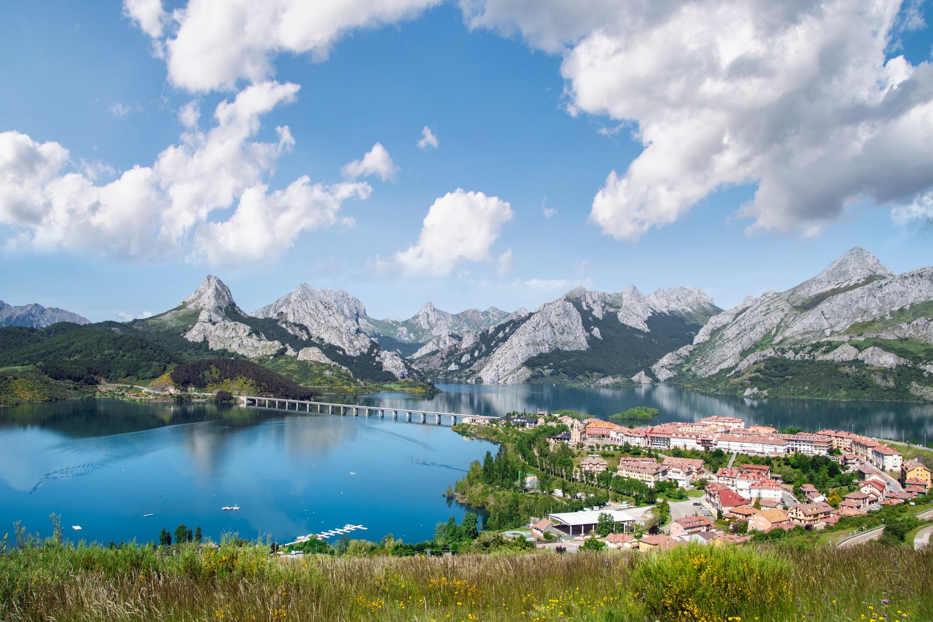

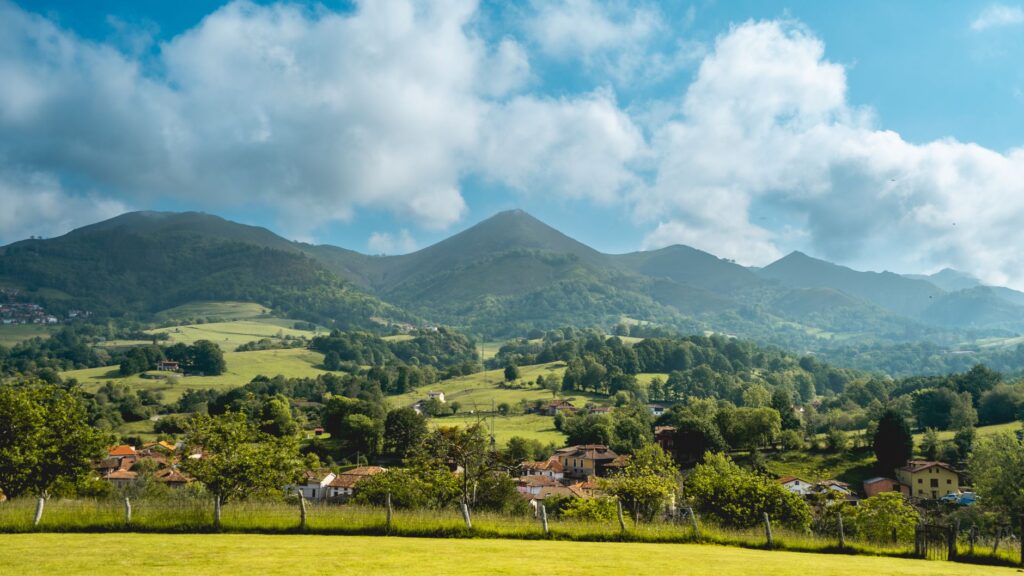
The northern fringe of the Iberian Peninsula has historically presented a formidable challenge to civil engineering. Wedged between the rugged, abrupt formations of the Cantabrian Mountains and the shifting vastness of the Bay of Biscay, the territory unfolds as a mosaic of enclosed valleys, deep estuaries, and dizzying cliffs that isolated local communities for centuries. Within this geographical context of extreme complexity, building a terrestrial communication route was not merely an economic necessity, but a genuine technical feat. The Cantabrian Railway, which today vertebrates the northern coast by linking the Basque Country to Galicia through Cantabria and Asturias, stands as an outstanding testament to human perseverance against an implacable orography.
At the turn of the twentieth century, the industrial development of northern Spain demanded a transport system capable of articulating mining basins, fishing ports, and burgeoning manufacturing hubs. Gauge narrowing, adopted out of necessity to adapt to the terrain without incurring titanic costs for excavating straight, massive tunnels, allowed engineers to chart a winding line that seems to mimic natural contours. This report examines the genesis, technical evolution, and enduring relevance of an infrastructure that continues to push the boundaries of European railway engineering, offering profound insight into how a territory shapes the arteries that traverse it.
The Genesis of an Impossible Trace: The Challenge of Meter Gauge
The conception of the Cantabrian line did not follow a single, centralized plan; rather, it emerged from the collision and subsequent unification of various narrow-gauge railways promoted by local companies and mining enterprises. In regions where relief plunges sharply toward the sea over the span of a few kilometers, conventional Iberian-gauge railways proved unfeasible due to required turning radii and insurmountable inclines. Engineers of the era opted for meter gauge—a decision that, while reducing freight capacity compared to major national lines, granted indispensable geometric flexibility to wind through limestone gorges.
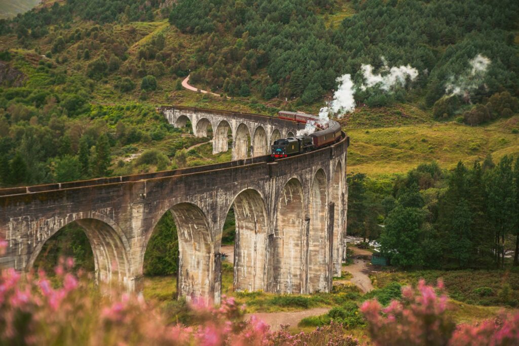
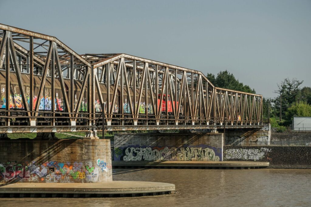
The original layout demanded an unprecedented display of ingenuity. Every estuary required a viaduct; every mountain spur, a tunnel carved by hand or with early dynamite charges. Lattice metal bridges, frequently imported from European workshops or built by local steel industries, began to sketch an unmistakable visual profile across the estuaries. The route advanced by wresting meters from the cliff face, clinging to live rock in permanent coexistence with marine humidity and slope slippage. This symbiosis between natural stone and industrial iron defines the cultural landscape of Green Spain.
Architecture of the Coast: Stations and Construction Elements
Beyond tracks and bridges, the architectural heritage associated with the Cantabrian line constitutes a three-dimensional archive of railway history. Stations were never merely functional halts; they served as pivotal nodes in the territorial organization of the valleys. Frequently constructed using local masonry stone and gabled roofs to withstand the region’s persistent rainfall, they reflect the sobriety and industrial aesthetic of the period. Buildings erected across Cantabrian and Asturian stretches display a standardized typology yet remain sensitively scaled to each locality.
blockquote>The narrow-gauge railway of the northern peninsula is more than just transport infrastructure; it is a living fossil of industrial archaeology demonstrating how technique successfully barged with topography rather than flattening it.
Among the most notable masonry works are dry-stone retaining walls and drainage culverts designed to channel torrents of water rushing down from the summits. Engineers had to anticipate the constant impact of Atlantic storms along coastal segments, where ballast suffered saline erosion and the battering of spring tides. The durability of these primordial materials explains why a large portion of the original structure continues to support modern convoys a century after placement.
For decades, the strategic value of the Cantabrian line lay in its capacity to articulate the extractive and fishing economy of the north. The coalfields of Asturias and León found a vital outlet toward shipping ports along this route, while the metal industry in Vizcaya and Cantabria relied on logistical fluidity for raw material supplies. The transport of iron ore, coal, and timber formed the bulk of freight traffic, turning the train into the true circulatory system of an industrial region at full throttle.

However, with the industrial restructuring of the late twentieth century, demand profiles underwent a radical mutation. The decline of traditional mining forced a rethinking of the infrastructure’s role. Far from becoming obsolete, the line successfully reinvented itself toward the social integration of the territory and, very notably, toward high-end rail tourism. The integration of commuter services with luxury tourist trains transformed logistical focus: efficiency was no longer measured solely in tons of coal hauled per kilometer, but in the capacity to deliver sustainable connectivity respectful of rural environments.
Geotechnical Challenges: Battling Landslides and Humidity
Operating a railway line along the Cantabrian coast involves daily coexistence with geological instability. Clayey soils, flysch strata along the coast, and steep slopes foster landslides and rockfalls onto the track platform. Preventive and corrective maintenance tasks consume a substantial share of infrastructure managers’ operational resources, requiring specialized high-altitude work crews, high-resistance mesh installations, and dynamic monitoring systems.
Added to these geotechnical challenges is adverse weather. Persistent fog, hurricane-force winds in mountain passes, and continuous precipitation accelerate the corrosion of metallic elements and catenary wear where electrification exists. Modern engineering has had to incorporate ground-penetrating radar technologies and satellite sensors to monitor the structural health of historic slopes and bridges, ensuring operational safety remains untarnished against Atlantic meteorological onslaughts.
The Future of Northern Mobility: Digitalization and Territorial Cohesion
In the twenty-first century, debate surrounding the Cantabrian Railway centers on its technological modernization and role in regional transport decarbonization. While high-speed trunk lines dominate the agenda in the peninsular interior, meter-gauge tracks demand sustained investment to reduce travel times and improve interoperability. Fleet renewals featuring hybrid or green hydrogen-powered units emerge as ideal solutions to maintain service on non-electrified segments without compromising strict ecological criteria.
Likewise, fare integration and ticket system digitalization are crucial for local populations to reclaim the habit of using trains for daily commutes between neighboring municipalities. Territorial cohesion heavily relies on this historic line retaining its competitiveness against road transport, particularly in districts where depopulation threatens the viability of basic public services. The train thus consolidates itself as a tool for social equity and population retention in rural areas.
Practical guide
Planning a journey along the Cantabrian Railway requires understanding the particular nature of its layout, where travel time is an integral part of the experience. Unlike high-speed networks, slowness here is a direct consequence of topography and an invitation to contemplation.
- Main trunk itinerary: The complete line connects Bilbao (Concordia Station) with Ferrol, traversing the autonomous communities of the Basque Country, Cantabria, Asturias, and Galicia over an approximate route of more than six hundred kilometers of meter gauge.
- Recommended segments for independent travelers: The journey between Oviedo and Llanes offers some of the most balanced views between interior meadows and proximity to the Cantabrian coastline. The section between Ribadeo and Ferrol stands out for crossing estuaries of immense scenic value.
- Logistical planning: Checking updated schedules on official Renfe (Ancho Métrico) platforms is essential, as frequencies may vary according to season and scheduled maintenance work on the infrastructure.
- Connectivity and stops: Principal stations feature connections to regional bus lines, facilitating the exploration of interior enclaves like the Picos de Europa or fishing villages along the western coast.
The distant whistle of the locomotive over the metal bridge crossing the estuary sets the tempo for lands where time seems measured by the rhythm of the tides and the perennial green of the mountains. At dusk, when golden Atlantic light bathes the century-old stones of the station, the Cantabrian line reveals itself not merely as a masterpiece of cliff engineering, but as the invisible thread stitching together the living memory of the northern peninsula, proving that the true measure of progress lies in the ability to unite landscapes without breaking their soul.