
Introduction to the Great Californian Traverse
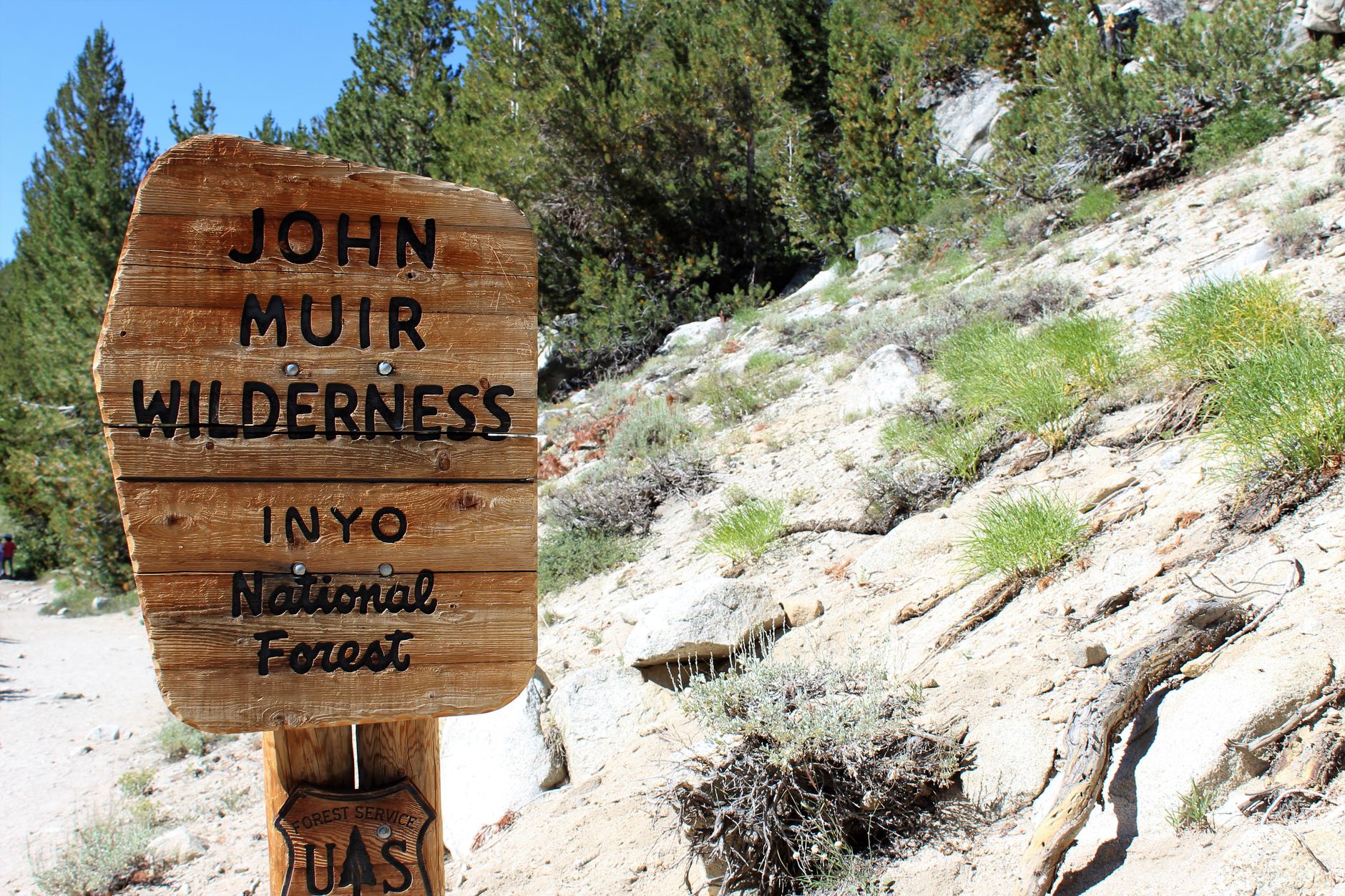
Long-distance backpacking in North America finds one of its purest and most demanding expressions in the John Muir Trail (JMT). Spanning over two hundred miles as it meanders along the backbone of California’s Sierra Nevada, this route challenges both the physical endurance and the logistical acumen of any experienced trekker. It is far more than a simple nature walk; it is a profound immersion into an alpine ecosystem where granitic rock, turquoise glacial lakes, and high-mountain passes soaring above 13,000 feet impose their own unrelenting rules. Meticulous planning is the only reliable lifeline in a territory where outside assistance can take days to arrive.
Named in honor of the celebrated naturalist and founder of the Sierra Club, the trail shares much of its initial alignment with the Pacific Crest Trail, beginning in the forested valleys of Yosemite and culminating atop Mount Whitney, the highest summit in the contiguous United States. Tackling this itinerary requires understanding the complex interplay between altitude, shifting weather patterns, and resource management in wild backcountry. Every decision—from the exact weight of a pack to the choice of an optimal weather window—determines the success of an expedition that tests the absolute limits of human self-sufficiency.
Geography and Terrain of the Sierra Nevada
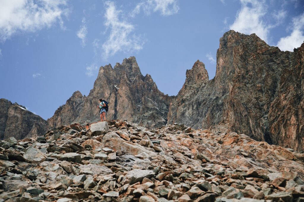
The topography of the Sierra Nevada is the result of millions of years of tectonic activity and the relentless carving of glaciers during the Pleistocene epoch. The landscape is dominated by imposing granite monoliths, deep river gorges, and elevated plateaus that stretch well above the timberline. Walking through this environment means dealing with polished stone slabs, unstable talus fields, and roaring stream crossings whose volume fluctuates dramatically depending on the hour of the day and the pace of the summer melt. Terrain reading becomes a vital skill to prevent slips, falls, or sprained ankles in regions where official waymarking is intentionally scarce to preserve the wilderness character of the park.
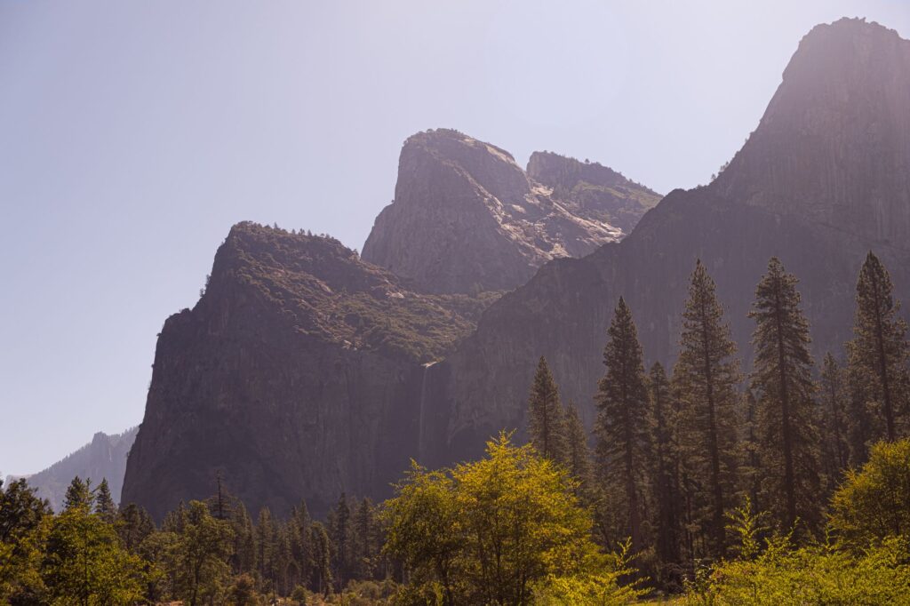
Beyond the rock, alpine meteorology dictates its own geographic boundaries. Coniferous forests, dominated by red fir and ponderosa pine, give way abruptly to the alpine tundra—a domain of mosses, lichens, and bare stones lashed by fierce winds. Vegetation thaws and dwindles with increasing elevation, stripping away natural shelters against sudden storms. Understanding the characteristics of this topography allows the mountaineer to anticipate slope shifts and select the safest campsites, well clear of dry washes that can transform into violent torrents within minutes.
Alpine Weather and Progression Windows
Weather stability in the Sierra Nevada during the summer months is notoriously deceptive in its brilliant morning clarity. Days typically begin with clear skies and radiant sunlight illuminating the granite spires, but solar heating in the valleys below frequently triggers an unyielding convective cycle. By midday, towering cumulus clouds begin to build over the main crest, almost daily unleashing severe thunderstorms accompanied by lightning, hail, and high winds. This dynamic forces expeditions into a systematic alpine start, waking long before dawn to clear the most exposed high passes before noon.
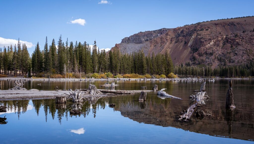
Time management on the move is non-negotiable at these elevations. A delay of barely two hours in approaching a high notch like Forester Pass or Muir Pass can expose a group to direct electrical discharges in completely treeless terrain. Similarly, lingering snowpacks can persist deep into summer, covering critical sections of trail with hard-packed névé that demands lightweight crampons and an ice axe. Continuous monitoring of barometric pressure and prevailing wind currents are tools just as vital as a compass or topographic map.
Supply Logistics and Black Bear Management
One of the primary logistical hurdles of the John Muir Trail is food self-sufficiency. Because the path traverses extensive protected wilderness areas without road access, hikers must carry enough rations for stretches lasting between ten and fourteen days, unless utilizing resupply services at key backcountry hubs like Muir Trail Ranch or Vermilion Valley Resort. Every gram matters, necessitating a diet focused on high-calorie freeze-dried meals. However, food must not only be carried; it must be zealously guarded against local wildlife, particularly the American black bear (*Ursus americanus*), a frequent inhabitant of the region’s forests and meadows.
California’s wilderness does not yield to the visitor; it demands absolute respect, meticulous preparation, and an unyielding capacity to adapt to the unpredictability of the high mountains.
The regulations enforced by Yosemite, Kings Canyon, and Sequoia National Parks are exceptionally strict regarding this matter. The use of approved rigid bear-resistant food containers (*bear canisters*) capable of withstanding animal strikes is mandatory throughout the corridor. Leaving food exposed or hanging it from flimsy branches not only attracts bears, altering their natural foraging behavior, but carries heavy fines and the immediate revocation of the backcountry permit. Waste management, including organic scraps, must strictly adhere to Leave No Trace principles.
The Art of Acclimatization and High-Altitude Physiology
Spending continuous days above 10,000 feet places significant physiological stress on the human body due to lower barometric pressure and reduced oxygen availability. Acute mountain sickness can derail an expedition in its opening stages if a gradual acclimatization schedule is ignored. Experts recommend spending at least a couple of days in elevated towns like Mammoth Lakes or keeping the initial stages of the trek at a measured pace, allowing the body to increase red blood cell production and adapt its respiratory baseline.
Hydration plays a foundational role in this adjustment. The air in the high mountains is remarkably dry, accelerating moisture loss through respiration without the hiker realizing it. Consuming water consistently, supplemented with electrolytes, helps mitigate the severe fatigue, headaches, and dizziness linked to high-altitude exertion. Tuning into the body’s warning signs and showing the mountaineering maturity to descend at the first serious sign of pulmonary or cerebral distress is a testament to true alpine responsibility.
Water Management and River Safety Protocols
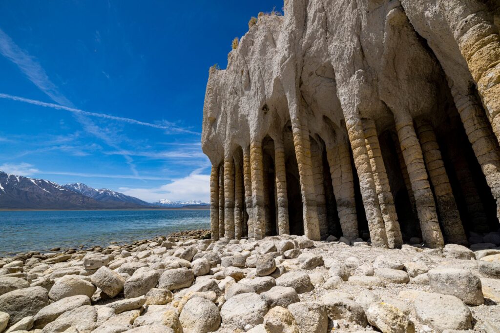
Although the Sierra Nevada is celebrated for its abundance of crystalline lakes and meandering streams, surface water should never be consumed untreated. Despite its pristine appearance, upstream livestock grazing in peripheral zones and roaming wildlife introduce microscopic pathogens like *Giardia lamblia* and *Cryptosporidium*, capable of triggering debilitating gastrointestinal infections miles from civilization. Purification methods range from hollow-fiber membrane filters to chlorine dioxide tablets or UV light devices, and carrying both a primary system and a backup is standard best practice.
River crossings represent another critical safety hurdle along the route. During periods of heavy snowmelt, waterways like Evolution Creek or the torrents draining major passes can transform into violent, waist-deep channels. Crossings should ideally be executed in the early morning hours, when nighttime temperatures slow the upper snowpack melt. Standard protocol dictates unclasping hip belts on backpacks, utilizing trekking poles to establish a stable tripod, and crossing sideways or in a human chain if the current’s force demands collective stability.
Practical guide
Planning an expedition along the John Muir Trail requires attending to a series of critical administrative and technical prerequisites to ensure a safe experience that respects the natural environment.

- Access Permits: Demand vastly outstrips availability. Permits are managed via the federal Recreation.gov system through a rigorous lottery process months in advance.
- Recommended Season: The ideal window runs from July through September, after the bulk of winter snow has melted and before autumn storms set in.
- Mandatory Equipment: Approved bear canister, reliable water purification system, advanced first-aid kit, technical layering apparel, and high-traction trekking footwear.
- Navigation: Although sections overlap with the PCT, carrying detailed paper topographic maps and GPS units with spare power banks is non-negotiable.
- Camping Regulations: Camping is restricted to designated sites or requires strict adherence to minimum setback distances from lakes, water sources, and the trail itself.
Human Legacy and Trail Ethics
The allure of the John Muir Trail extends far beyond mere physical challenge or the aesthetic contemplation of its landscapes. It represents a direct link to a conservation philosophy that reshaped how humanity relates to protected natural spaces. Historic stone shelters, wooden footbridges subtly integrated into the terrain, and the enduring footprints of generations of pioneers remind every traveler that they are temporary guests in a geological sanctuary that has endured largely unchanged for millennia.
Walking the crest of the Sierra Nevada is an exercise in humility; the vastness of the granite and the absolute silence of the heights quiet any earthly vanity.
Preserving this heritage intact relies on a strict ethos rooted in minimalism and absolute respect. Keeping waste to an absolute minimum, avoiding any disruption to fragile endemic flora, and maintaining a quiet profile that allows one to hear the wind through the pines and the call of the Clark’s nutcracker are moral duties for every mountaineer. When the final stone cairn atop Mount Whitney is reached and the endless sea of peaks stretching westward comes into view, the accumulated effort transforms into an unforgettable memory and a profound personal metamorphosis that accompanies the traveler long after they leave the mountains.