The Silent Artery of the Eastern Desert
The vastness of the eastern Jordanian steppe is not a geographical void, but a dynamic chessboard where survival and historical heritage depend on a transport network as fragile as it is ancient. Far from the tourist bustle of Petra or the artificial modernity of Amman, the Umayyad desert castles—such as Qasr Amra, Qasr Kharana, and Qasr al-Azraq—stand as limestone landmarks in a sea of gravel and basalt. The connectivity of this arid region has historically been dictated by water scarcity and the necessity of tracing safe routes between fossil oases. Today, transit toward these enclaves combines contemporary road engineering with the vestiges of ancient caravan tracks connecting the Arabian Peninsula with the Mediterranean Levant.
The transport system structuring this area operates under a very particular intermodal logic. Regular bus services barely graze the western limits of the Azraq depression, leaving the burden of travel to fall upon local fleets of adapted utility vehicles and supply tanker trucks. This reliance on lightweight infrastructure exposes the territory’s fragility to extreme weather events, such as sudden seasonal floods that erode gravel tracks and temporarily isolate dispersed rural settlements. Understanding this mobility ecosystem requires examining the tensions between archaeological conservation and the daily demands of pastoral communities inhabiting the desert fringe.

Geography of Stone and Asphalt: The Evolution of Route 5
The backbone of connectivity in the eastern Jordanian desert is Highway 5, a fast road winding from the eastern suburbs of the capital to the Iraqi border. This infrastructure has radically transformed regional logistics over the past three decades, replacing slow camel traverses with heavy transport fleets connecting the port of Aqaba with Baghdad markets. However, the true circulatory challenge begins when one leaves the large asphalt slabs to venture into the secondary network of dirt tracks and volcanic gravel leading to historical enclaves.
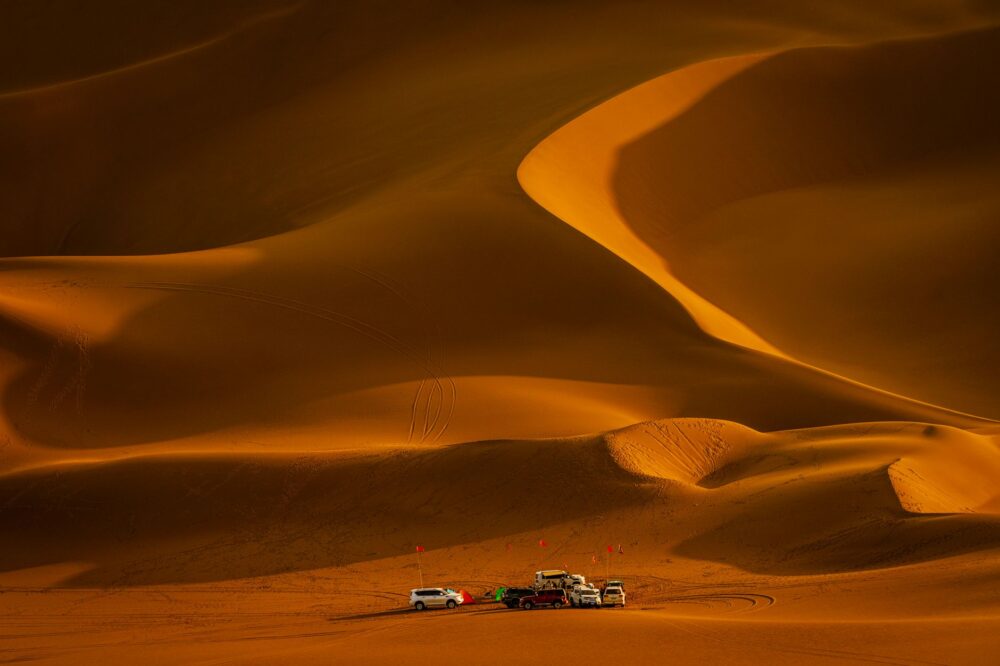
These secondary routes, known locally as durub al-badia, are maintained precariously through the occasional intervention of government machinery and the constant passage of locals’ all-terrain vehicles. The absence of vertical signage and the persistent threat of eolian sand accumulation turn every trip into an exercise in empirical navigation. Drivers must read subtle variations in soil texture and the orientation of basalt formations to avoid becoming stranded dozens of kilometers from any rescue point or mobile coverage.
The highway in the eastern desert does not merely link two geographical points; it is a fragile pact between modern speed and the immutability of ancient stone.
Utility Fleets and the Off-Road Monopoly
In the heart of the Azraq depression, conventional public transport ceases to exist. The mobility of local residents and the few researchers exploring the desert castles relies on an aged yet remarkably resilient fleet of four-wheel-drive utility vehicles, principally Japanese-manufactured pickup trucks from the 1990s and 2000s. These vehicles are authentic pieces of field engineering, modified in local Amman workshops to withstand extreme temperatures, abrasive dust storms, and continuous wear over stony terrain.

Local transport cooperatives operate informal shared taxi services connecting Bedouin camps with the small souks of Azraq and Zarqa. These journeys are not governed by fixed schedules, but by the vehicle’s cargo capacity and passenger urgency. A back seat may simultaneously house fuel drums, sacks of livestock feed, and passengers traveling for medical or commercial reasons. This flexibility is the sole viable response to the demographic dispersion of a region where stable population nuclei are separated by dozens of kilometers of absolute wasteland.
Water Logistics: Tanker Trucks and Fossil Oases
No analysis of transport in the eastern Jordanian steppe would be complete without addressing the critical infrastructure of water supply. Historically, desert castles were built around complex rainwater harvesting systems, such as large underground cisterns and diversion dams in seasonal wadi beds. With the progressive depletion of shallow aquifers and the growth of permanent settlements, regional survival depends entirely on a regular fleet of tanker trucks hauling potable water from western treatment plants.
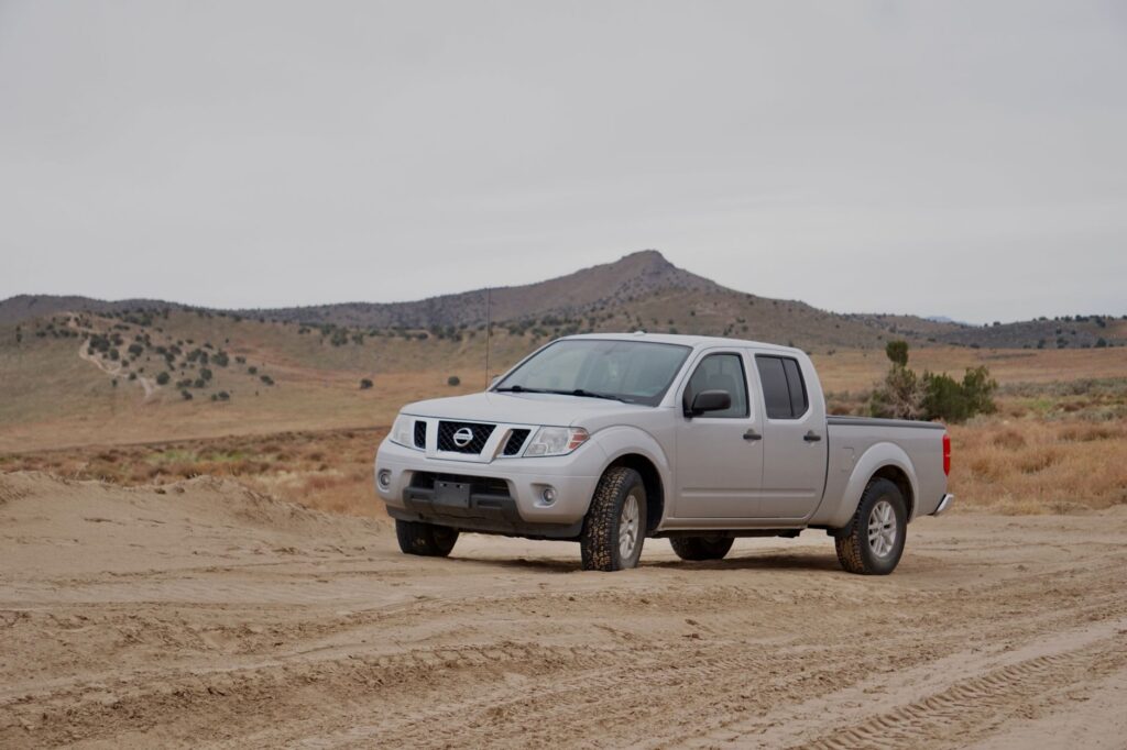
These tanker trucks, locally known as tanakeer, travel daily along the same dusty tracks as tourist vehicles, enduring extreme mechanical conditions. Their circulation defines the economic rhythms of local villages, marking the cadence of subsistence agriculture and the maintenance of sheep and goat herds. Any disruption in this intermodal supply chain—whether due to fuel shortages, mechanical breakdowns on routes, or military closures of security zones—immediately jeopardizes the fragile demographic equilibrium of the steppe.
The Impact of Heritage Tourism on Local Infrastructure
The growing flow of travelers drawn by Umayyad architecture has generated unprecedented pressure on the eastern desert’s fragile access routes. While major sites like Qasr Amra feature paved parking lots and visitor centers managed by the Ministry of Tourism and Antiquities, minor monuments remain isolated by networks of dirt roads suffering accelerated deterioration due to unauthorized tour buses and inadequate rental cars.

This situation has forced local authorities to rethink tourist mobility management, promoting partial restrictions on heavy traffic near the most sensitive monuments and encouraging the use of local guides equipped with authorized vehicles. However, the integration of tourism into the local transport economy remains uneven. Many Amman-based operators run single-day excursions without generating a direct economic impact on communities in Azraq or Safawi, limiting local residents’ capacity to reinvest in upgrading their own communication networks and ancillary services.
Climate Vulnerability and Seasonal Maintenance
The climate of the eastern Jordanian desert is characterized by extreme harshness, with scorching summers deforming asphalt and winters where torrential rains cause flash floods in dry wadi beds, locally known as seyl. These ephemeral yet violent water surges systematically cut off main communication arteries connecting the steppe to the Jordan Valley, isolating entire communities for hours or days.
Road conservation services of the Ministry of Public Works and Housing face a titanic task keeping thousands of kilometers of erosion-prone tracks passable. Heavy machinery, such as graders and excavators, must be deployed urgently after each winter storm to clear sections buried by shifting dunes or swept away by currents. This reliance on state intervention highlights the structural vulnerability of a region whose economic and social development remains tied to the desert’s climatic unpredictability.
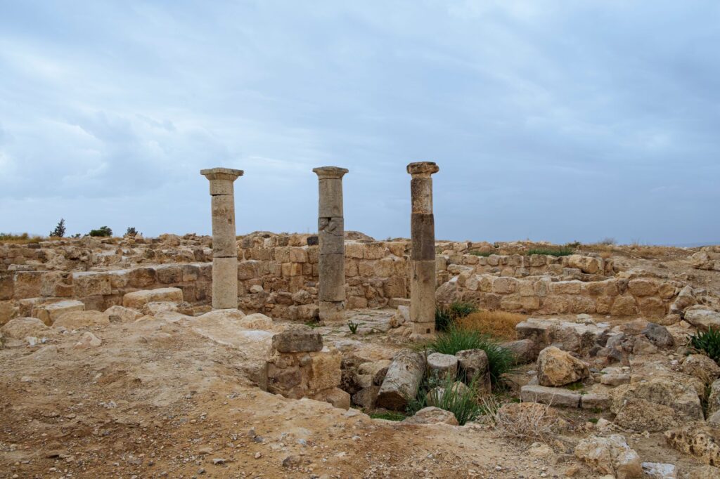
Mobility on the desert fringe is a daily exercise of resistance against sand and flood, where every kilometer of maintained track is a victory against geographical oblivion.
Practical guide
Planning an itinerary along the Desert Castles route in eastern Jordan requires exhaustive knowledge of regional logistics and transport conditions, far removed from conventional tourism standards.
- Recommended Vehicle: Renting a four-wheel-drive (4×4) vehicle with tires in perfect condition and an additional spare wheel is essential. Conventional sedans suffer severe undercarriage damage from rocks and loose gravel on secondary tracks.
- Connectivity and Navigation: Mobile phone coverage is intermittent or nonexistent east of the Azraq depression. Downloading detailed offline maps before leaving Amman and carrying an independent GPS device or updated topographical paper map is strongly advised.
- Fuel and Range: Service stations are scarce east of Zarqa. Refueling to maximum capacity in Amman or at the main Azraq junction is mandatory, and carrying emergency jerry cans is necessary if exploring remote tracks toward the Iraqi or Saudi borders.
- Climatology and Safety: Strictly avoid exploring wadis or secondary tracks during winter months if rain is forecast, as the risk of flash floods is high. Always heed instructions from military checkpoints and border security zones.
- Water and Provision Logistics: Carry at least five liters of drinking water per person per day, alongside non-perishable food. Hospitality and dining options outside major urban centers are extremely limited.
- Schedules and Daylight: Schedule travel to maximize daylight hours. Driving at night on unmarked tracks exponentially increases accident risks due to loose livestock or local wildlife.
- Heritage Respect: Park exclusively in designated areas near archaeological monuments to prevent soil compaction and the degradation of surrounding fragile natural environments.
Mineral Silence and Memory on Wheels
At dusk, when golden light falls obliquely on the basalt stone walls of Azraq Castle and airborne dust cools its glow on the steppe horizon, the desert reclaims its ancestral silence. In that instant, the distant roar of a tanker truck crossing the depression or the dull rattle of a local pickup returning to remote camps reminds observers that this territory is not a fossilized museum, but a living space sustained by a fragile, tenacious mobility network. Connectivity in the eastern Jordanian steppe is, ultimately, the daily testament to human capacity to weave paths of life where maps draw only the apparent desolation of mineral emptiness.