Introduction to the Great Southern Escarpment
The Drakensberg, known in the Zulu language as uKhahlamba or the barrier of spears, represents one of the most formidable geological formations in Southern Africa. This immense basaltic escarpment marks the natural border between the kingdom of Lesotho and South Africa’s KwaZulu-Natal province, rising as a stone wall that consistently exceeds three thousand meters in altitude. For the long-distance hiker and expeditioner, venturing into the summits of the Drakensberg is not a simple exercise in walking progression, but a technical challenge of navigation, self-sufficiency, and extreme physical endurance in an environment where weather conditions can mutate within minutes.
Unlike the waymarked trails of other global mountain ranges, the Drakensberg lacks massive infrastructure on its upper plateau. There are no staffed refuges, wooden boardwalks, or painted rock cairns. Progression demands absolute mastery of detailed cartography, proficient use of the altimeter, and rigorous analytical capacity to interpret a tabular landscape where plateau horizontality can disorient even the most experienced mountaineer. This report offers an exhaustive guide to understanding the logistics, routes, and demands of a traverse that tests the limits of autonomous exploration.
Geology and Climatology of South Africa’s Roof
The architecture of the Drakensberg is the result of a colossal volcanic process occurring over 180 million years ago, when the breakup of Gondwana released immense basaltic lava flows that now form an upper layer over fifteen hundred meters thick. This sedimentary and volcanic structure defines a landscape characterized by vertical ochre and black cliffs, crowned by an alpine grassy plateau that functions as a massive natural sponge. From this plateau rise the region’s main river systems, including the Orange River.
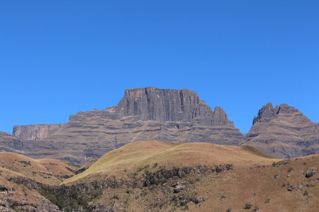
However, the escarpment’s climatology is unforgiving. During the austral summer months, between November and January, thunderstorms are violent, sudden, and accompanied by intense lightning activity that turns the open plateau into a high-risk zone. Conversely, winter from June to August offers clear skies and remarkable atmospheric stability, although nighttime temperatures plunge the thermometer well below zero, freezing water sources and requiring fully winter-rated expedition bivouac equipment.
Logistical Planning and Access Permits
Organizing a traverse in the Drakensberg requires non-negotiable administrative rigor. Most main routes run through the interior of the uKhahlamba-Drakensberg Park, a UNESCO World Heritage Site, and the Royal Natal National Reserve. Before placing the first foot on the approach trails, registration is mandatory at visitor centers or base camp offices managed by Ezemvelo KZN Wildlife.
Mountain registration is not a mere bureaucratic formality; it constitutes the foundational pillar of the safety plan. Park rangers require the submission of a detailed proposed route form, the names of group members, estimated dates of passage through key points, and available emergency communication equipment such as satellite phones or distress beacons. Modifying the itinerary once underway without prior notice can trigger unnecessary search protocols or delay assistance in the event of a real accident.

Ascent and Access Gates to the Escarpment
Overcoming the Drakensberg wall to reach the upper plateau requires tackling steep passages locally known as passes. These eroded gorges and gullies are the only natural routes connecting the lower valleys with the plains of Lesotho. Iconic routes such as Chain Ladder, Sentinel, Mnweni Pass, or Sani Pass present vastly different degrees of technical difficulty, forcing mountaineers to accurately assess their technical level and backpack weight.
The ascent via Chain Ladder in the northern zone combines steep trail sections with a series of iron chains and ladders anchored to the vertical rock, bridging a fifty-meter drop and offering a direct, photogenic gateway to the Mont-aux-Sources amphitheater. In contrast, routes like Organ Pipes Pass or Mabéja Pass demand continuous foot progression across unstable scree slopes, where cumulative elevation gain exceeds one thousand meters over just a few horizontal kilometers, testing cardiovascular endurance from day one.
The immensity of the Drakensberg is measured not solely by its altitude, but by the absolute solitude enveloping those who traverse its plateaus, where the only valid compass is absolute respect for the force of the elements.
Orientation and Navigation on the Upper Plateau
Once the escarpment is crowned, the topographic challenge changes radically. The upper plateau of Lesotho and South Africa presents itself as a vast undulating high-altitude grassland, where the absence of conspicuous natural landmarks—such as trees, singular rocks, or marked paths—fosters disorientation during dense fog or storms. Visibility can drop below ten meters within minutes due to orographic clouds rising from the Indian Ocean.
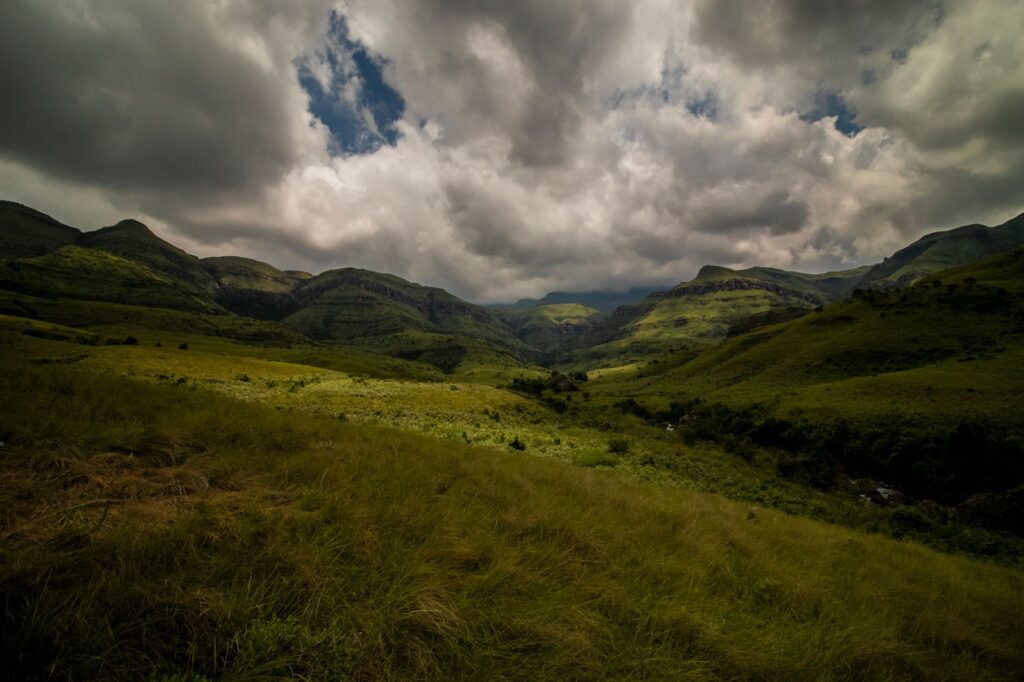
In this scenario, utilizing GPS devices with pre-downloaded topographic maps is indispensable, though technological reliance must always be complemented by traditional compasses and barometric altimeters calibrated at each col or known benchmark. Knowing how to read contour lines, identify intermittent watercourses, and maintain a constant bearing via compass headings are fundamental survival skills to prevent erroneous descents down unexplored precipices.
Water Resource Management and Resupply
Water is abundant in the Drakensberg summits during wet months, flowing in numerous streams and crystal-clear springs descending toward valleys. Nonetheless, water management requires rigorous preventative analysis. On the upper plateau, much of the livestock originating from Lesotho—primarily cattle and sheep—grazes freely during summer, exponentially increasing the risk of bacterial and parasitic contamination in surface sources.
For this reason, no expeditioner should consume water without subjecting it to rigorous purification. High-efficiency membrane filtration systems combined with chemical sterilization via chlorine dioxide constitute the absolute minimum safety standard. Likewise, during ridge-crossing days or winter months, exact calculation of replenishment points is imperative, as some high-altitude springs tend to dry up completely or freeze overnight.
Equipment and Self-Sufficiency for Extreme Climates
The Drakensberg’s climatic variability demands meticulous selection of camping gear and apparel. Tents must withstand hurricane-force winds and be designed with high-resistance geodesic structures against lateral impact. Down sleeping bags with adequate thermal insulation capacity for minus ten degrees Celsius are mandatory if planning to bivouac on the plateau during winter or at higher summits during summer squalls.
The layering system in clothing must prioritize breathability during intense physical exertion on ascents and absolute thermal retention during high-altitude halts. High-end technical waterproof and windproof membrane garments are the only effective barrier against sudden hailstorms and torrential downpours. Each hiker must carry personal fuel for expedition stoves, as park regulations strictly prohibit felling shrubs or using native wood for fires.
Practical Information for the Expedition
- Best Time of Year: April to May for stable, cool weather; June to August for clear skies with extreme nocturnal cold; November to March for green landscapes, albeit with severe risk of afternoon thunderstorms.
- Permits and Fees: Prior registration at Ezemvelo KZN Wildlife centers and payment of daily conservation and overnight fees in the mountains are mandatory.
- Main Access: Johannesburg (JNB) or Durban (DUR) international airports are standard arrival points, requiring a 4×4 or high-clearance rental vehicle to reach remote base camps.
- Safety and Communication: Purchasing travel insurance specifically covering helicopter rescue in remote high-mountain areas and carrying an operational satellite communication device is essential.
- Currency and Payments: The South African rand (ZAR) is the official currency, though in more remote visitor centers cash is indispensable due to a lack of credit card connectivity.
Self-sufficiency in the Drakensberg is proven not by conquering the summit at any cost, but by returning to the valley with the certainty of having respected the rules of an ancient and fragile ecosystem.
Ethical Considerations and Environmental Conservation
Human impact on the fragile ecology of the Drakensberg must be minimized to the absolute greatest extent possible. Waste management policy in the park is governed by the leave-no-trace principle; every wrapper, organic scrap, or waste material must be carried back down to the valley by the expeditioner. Campfires are strictly prohibited across all reserve zones to prevent devastating wildfires endangering endemic flora and local fauna.
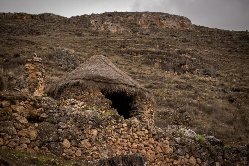
Similarly, contact with local Lesotho shepherds, who temporarily inhabit simple stone shelters called mokhoro during grazing season, must be conducted with absolute cultural respect. These herders form an inseparable part of the escarpment’s human landscape, and understanding their survival dynamics enriches the travel experience, reminding the expeditioner that they traverse an inhabited, shared ancestral territory far removed from artificial adventure theme parks.
Visual Closing of the Great Escarpment
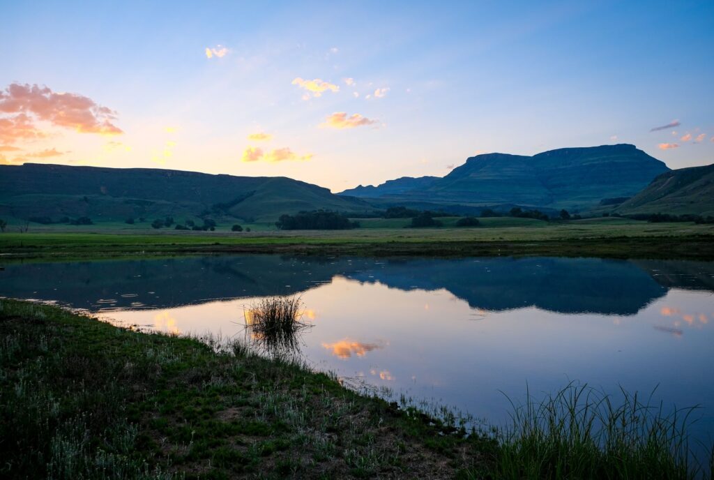
Upon undertaking the definitive descent toward the green valleys of KwaZulu-Natal, the silhouetted profile of the Drakensberg against the sunset horizon leaves an indelible mark on the traveler’s memory. The basaltic walls, tinted in copper tones by the final rays of the sun, recall the unalterable grandeur of one of the planet’s most beautiful and demanding natural frontiers. Overcoming this challenge means understanding that true adventure lies in rigorous preparation, humility before nature, and the respectful silence of high places.