
Introduction to the Roof of Asia and Its Orographic Isolation
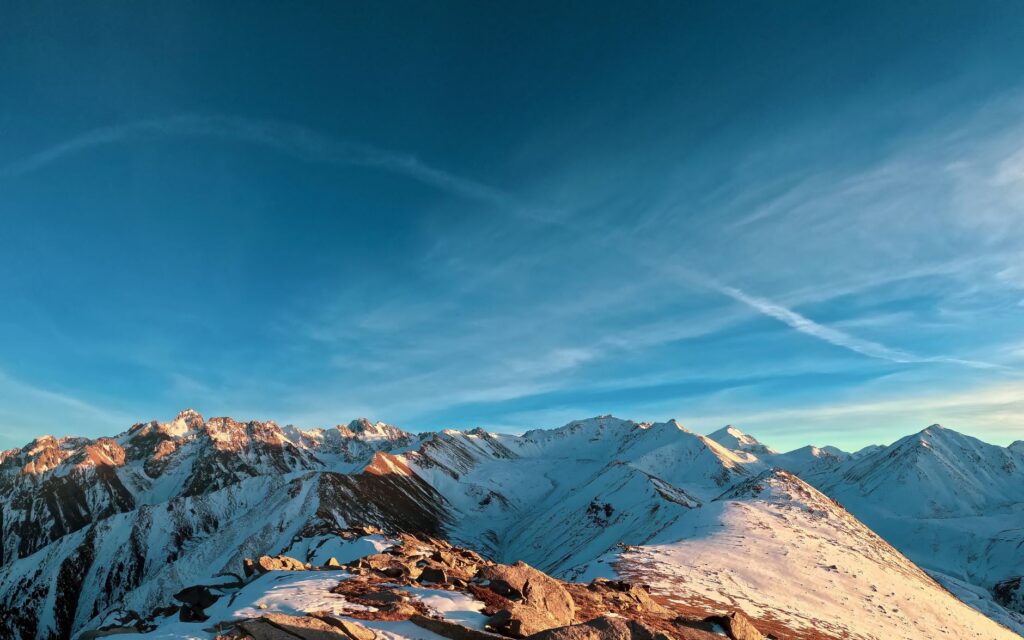
The Pamir mountain system, historically known as the Roof of the World, represents one of the most hostile and majestic geographical environments on the planet. Situated at the crossroads where the Tian Shan, Karakoram, Hindu Kush, and Himalaya ranges converge, this territory has remained for centuries an impenetrable barrier to the development of modern transport infrastructure. The orographic complexity, characterized by peaks exceeding 7,000 meters in altitude, deep gorges carved by torrential rivers, and extreme climatic conditions with winters maintaining sub-zero temperatures for months, has historically dictated the limitations of human and commercial mobility in Central Asia.
Unlike other regions of the continent where flat terrain has facilitated railway expansion, the Pamir has demanded titanic engineering solutions. The need to connect isolated communities, exploit strategic mineral deposits, and guarantee territorial sovereignty in highly sensitive border zones has driven transport projects as daring as they are complex, from the Russian imperial era through the Soviet period to the present day. This report examines the evolution of connectivity in this orographic knot, analyzing high-altitude routes, projected alignments, and the logistical reality of a region where every kilometer of track or road represents a technical victory against nature.
The Logistical Legacy of the Russian Empire and Soviet Planning
The integration of the Pamir into global logistical circuits began to take shape in the late nineteenth century, amidst The Great Game—the geopolitical rivalry between the British and Russian empires for control of Central Asia. Tsarist military engineers were the first to map stable routes across mountain passes, but the true qualitative leap in infrastructure came under the centralized planning of the Soviet Union during the 1930s and 1940s. The primary objective was twofold: military and economic, aimed at securing the Soviet southern border with Afghanistan and China, and facilitating access to valuable mineral resources such as uranium, gold, and rare metals hidden deep within the mountains.
Although rugged terrain prevented the massive construction of conventional broad-gauge rail networks in the heart of the Pamir—unlike the surrounding steppes where major arteries like the Trans-Caspian or Turkestan-Siberia railways were completed—complex combined transport systems were developed. These frameworks integrated high-altitude roads, industrial funiculars, and feeder rail branches in peripheral valleys, connecting with Dushanbe and Osh. Period Soviet cartography reflects a titanic effort to subdue verticality through provisional viaducts, tunnels excavated in living rock, and logistical transfer stations designed to operate at elevations exceeding 3,000 meters above sea level.
Engineering Challenges in Permafrost and Extreme Seismicity Environments
Constructing and maintaining transport infrastructure in the Pamir involves confronting physical variables that defy traditional civil engineering manuals. The first major obstacle is the widespread presence of permafrost and continuous freeze-thaw cycles, phenomena that undermine soil stability and cause deformation in roadbeds and track foundations alike. Engineers have had to implement deep foundations, advanced subsurface drainage systems, and cyclopean retaining walls to prevent massive slope failures during the summer thaw season.
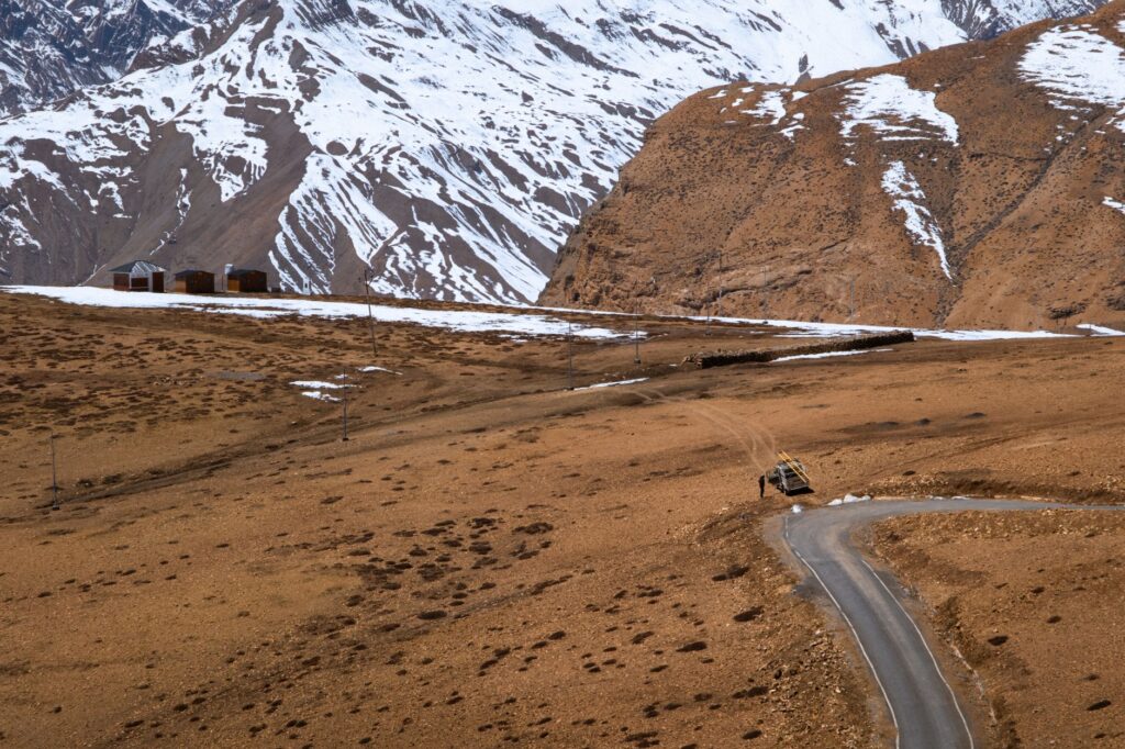
Added to this is intense seismic activity, driven by the ongoing collision between the Indian and Eurasian tectonic plates. Projected bridges and tunnels in the region must incorporate specific anti-seismic designs, featuring flexible expansion joints and reinforced concrete structures capable of absorbing major shocks without collapsing. High-altitude oxygen scarcity adds an extra layer of operational difficulty, reducing the performance of heavy machinery and demanding rigorous safety protocols for work crews operating under conditions of severe hypoxia and absolute geographical isolation.
The Silk Road Corridor and Contemporary Modernization
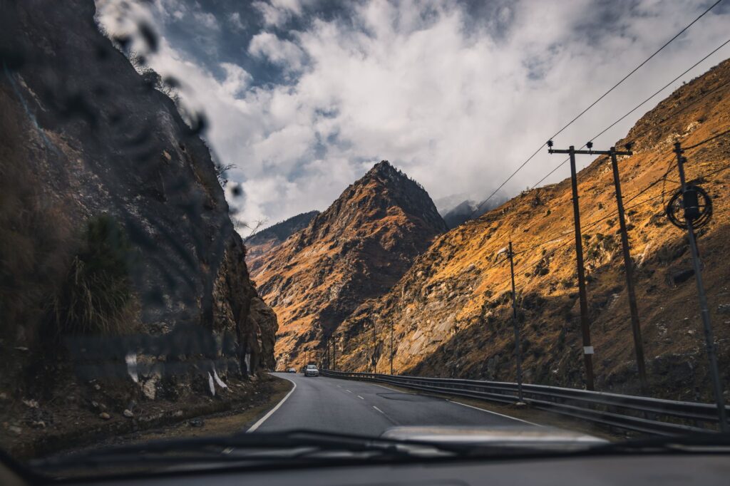
In the twenty-first century, the Pamir has reclaimed a prominent role in Eurasian transport corridors, driven by the reconfiguration of global trade routes and infrastructure investments designed to connect Central Asia with China and South Asia. National governments and multilateral organizations have dedicated significant resources to paving and widening historical road axes, such as the famous Pamir Highway (M41), and to studying the feasibility of cross-border rail connections that reduce freight transit times between the Asian interior and Indian Ocean ports.
The mountain does not yield to modern technique; it simply demands a more humble dialogue, where every tunnel and viaduct represents a truce negotiated with the abyss.
Nevertheless, realizing new high-altitude rail links encounters considerable financial and geopolitical barriers. The cost per kilometer of construction in such rugged terrain is astronomical, and short-term economic profitability is typically low due to the region’s sparse population density. Despite this, international cooperation seeks to balance the socioeconomic development of local communities—traditionally dedicated to high-altitude pastoralism and highly limited subsistence agriculture—with the need to create safe, reliable, and year-round operational logistics corridors, mitigating the winter isolation that has punished high valleys for generations.
Life in the High Valleys: Communities, Commerce, and Resilience
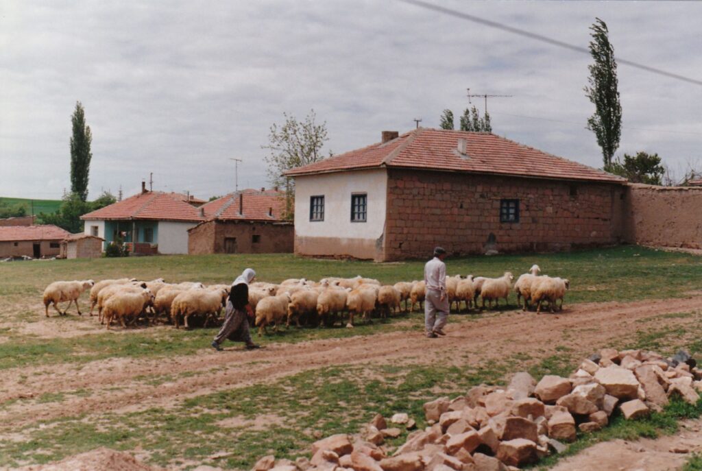
Beyond macroeconomic figures and engineering blueprints, the Pamir is inhabited by human communities whose capacity for adaptation constitutes a true anthropological case study. The Pamiri peoples, who retain distinct Iranian languages and rich ancestral traditions, have historically depended on packhorse trails and high passes for commercial exchange with the Fergana valleys and the Indian subcontinent. The gradual arrival of more stable transport infrastructure has profoundly transformed their daily dynamics, facilitating access to medical supplies, education, and external markets, although it has also introduced challenges related to cultural preservation.
Small-scale cross-border trade and sustainable adventure tourism have established themselves as primary economic alternatives to cushion the vulnerability of these enclaves. Small local cooperatives manage traditional guesthouses and guide services for travelers traversing high mountain routes in off-road vehicles or on foot. The resilience of these populations contrasts with the fragility of supply lines; any interruption in roads or mountain passes—whether from a winter snow avalanche or a spring rockfall—instantly isolates entire communities, recalling nature’s eternal supremacy over human will.
Practical guide
Planning a trip or research endeavor in the Pamir region requires exceptional methodological rigor due to administrative restrictions, extreme weather, and a scarcity of conventional tourist infrastructure in higher elevations.
Best time to visit: The period between July and September offers the most stable weather conditions, with mountain passes free of accumulated snow and tolerable daytime temperatures. Winter months should be avoided due to high avalanche risks and the prolonged closure of major road axes.
Permits and documentation: Most of the Pamir lies within the Gorno-Badakhshan Autonomous Region (GBAO) in Tajikistan, requiring a special access permit in addition to the national visa. It is essential to verify the validity of these authorizations in capital cities before initiating any travel toward the high valleys.
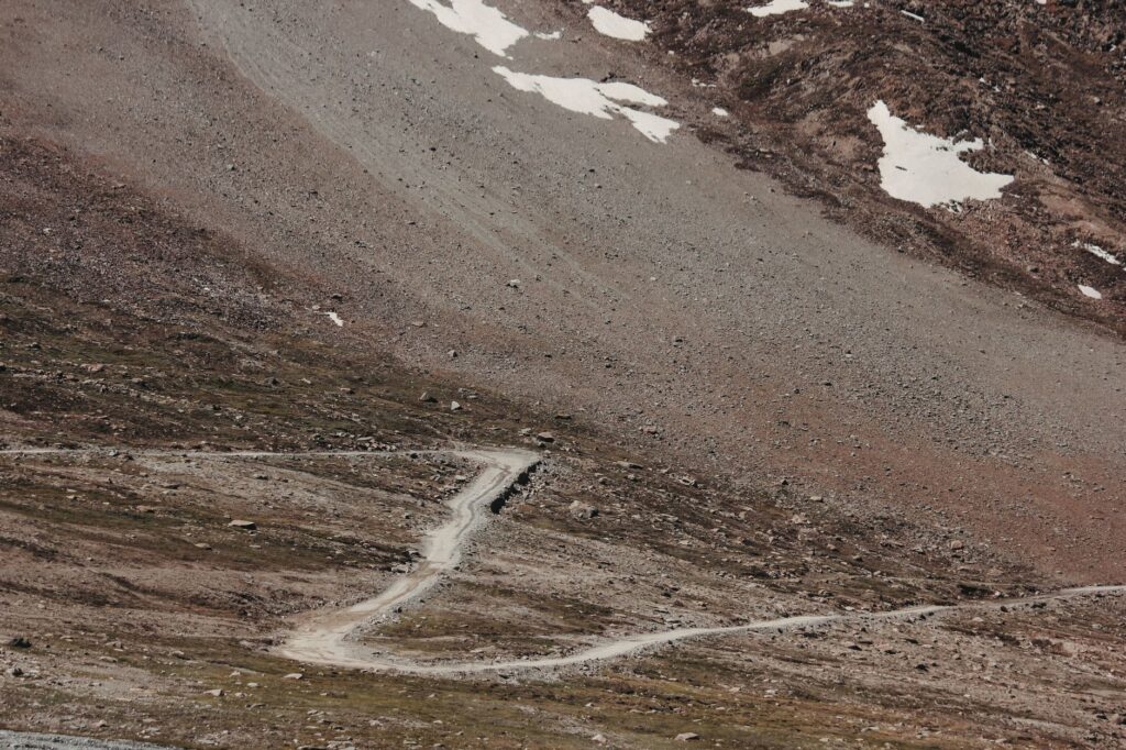
Transport and logistics: There are no operational passenger rail lines in the strict interior of the Pamir; the network consists exclusively of high-mountain roads. Renting four-wheel-drive vehicles with experienced local drivers is the only viable and safe option for touring the region. Extreme precautions should be taken regarding altitude sickness (puna), ensuring progressive acclimatization in Dushanbe or Osh before exceeding 3,000 meters of altitude.
Emotional Epilogue: The Definitive Silence of the Summits
When the traveler reaches the highest passes of the Pamir and gazes at the infinite horizon of snow-capped ridges merging with the sky, the vastness of the landscape generates a profound sense of insignificance. In this remote corner of Asia, where time seems to halt beneath the weight of geology, human effort traces—a rusted suspension bridge, the remains of an abandoned Soviet track, or the winding path of a millennia-old road—blend into the eternal silence of stone and ice. It is a territory that invites not easy conquest, but respectful contemplation, reminding us that at the edges of the world, true wealth lies in the persistence of life against the harshness of the summits.