
The Geography of Arabian Fjords and Coastal Isolation
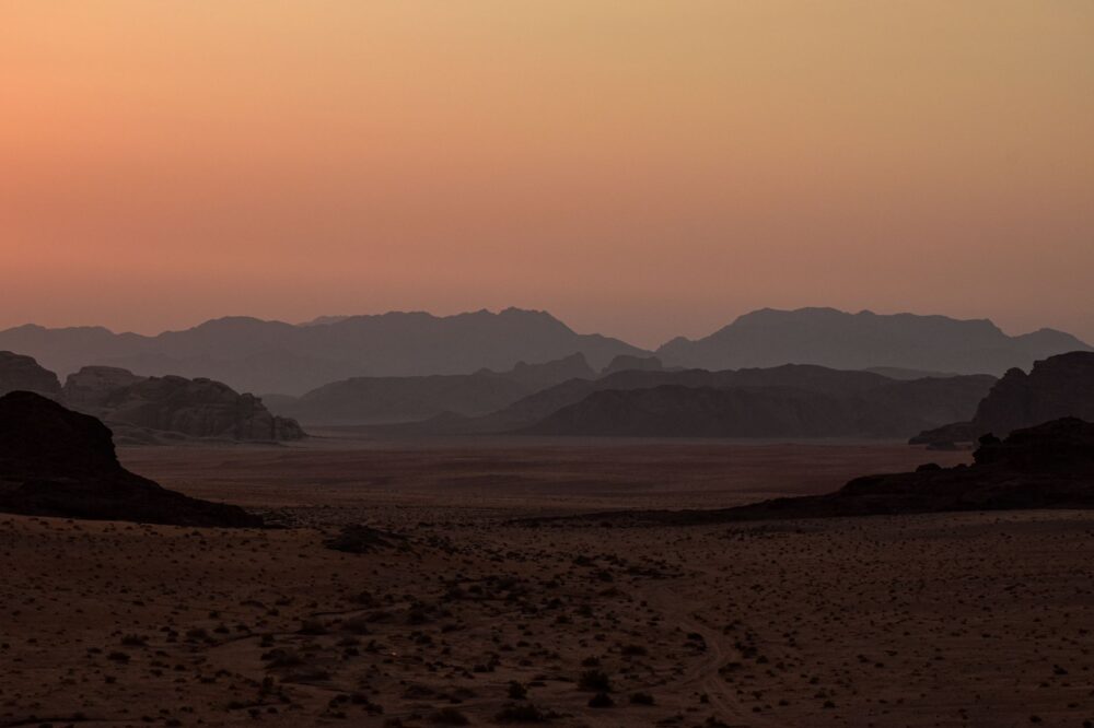
The Musandam Peninsula, severed from the rest of Oman by the territory of the United Arab Emirates, rises as an imposing limestone fortress where the jagged peaks of the Hajar Mountains plunge abruptly into the emerald-green waters of the Strait of Hormuz. Often described as the Norway of Arabia, this territory features a vertical orography that for centuries relegated its inhabitants to a markedly insular existence, accessible only by sea or through complex navigational routes. The absence of continuous roadways connecting dispersed settlements along its intricate khors (fjords) has demanded the development of a highly specialized transport system, where civil engineering constantly contends with marine erosion and the harshness of the desert terrain.
To grasp the magnitude of connectivity in this region, it is necessary to examine how transportation is not merely a means of displacement, but the vital tissue sustaining entire communities in enclaves such as Khasab, Kumzar, or Lima. Traditional overland routes have historically proved insufficient due to slope instability and the constant threat of rockfalls following seasonal torrential rainstorms. Consequently, mobility across Musandam is articulated through a complex intermodal network combining light bush aviation, heavy cargo ferries, and modernized traditional watercraft.

Port Infrastructure and the Maritime Backbone
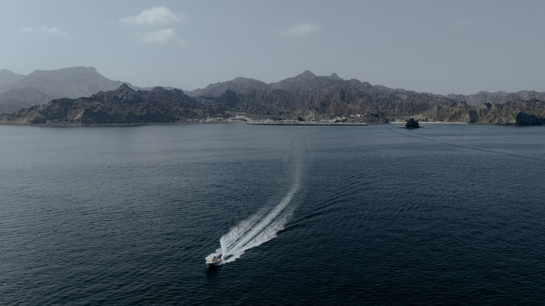
Given the infeasibility of constructing a dense overland road network, the port of Khasab acts as the neural epicentre and the true logistical heart of the peninsula. From its docks, high-speed ferries funded by the Omani government operate regularly, vessels capable of carrying both passengers and heavy cargo vehicles from the provincial capital to Muscat, bridging considerable nautical distances across open waters exposed to strong currents and unpredictable winds. These ferries are not a tourist luxury, but an essential public service guaranteeing the supply of fresh produce, fuel, and medical provisions to a population that would otherwise remain entirely cut off from the mainland.
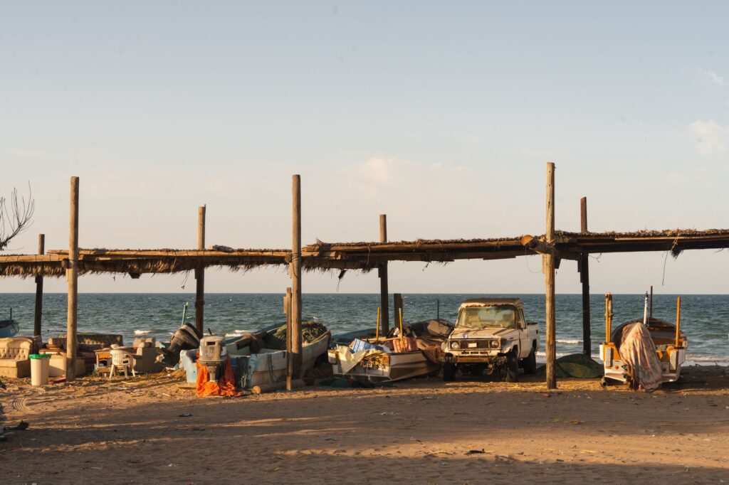
Concurrently, more remote settlements, such as the fishing village of Kumzar—situated at the northernmost tip and accessible exclusively by sea—rely on a fleet of speedboats and coastal freighters that daily brave the tides of the strait. Managing these small local ports requires millimeter-level precision, where captains must read local currents and reef formations with expertise passed down through generations. Minor port infrastructure comprises floating docks and concrete ramps designed to withstand the onslaught of spring tides, shaping a coastal shipping transport system as fragile as it is vital for the region’s territorial cohesion.
The true measure of development in Musandam is not measured in kilometers of asphalt, but in the capacity to keep routes open where the earth refuses to offer a path.
Bush Aviation and Airstrips in Extreme Enclaves
When weather conditions impede navigation or urgent medical responses are required, bush aviation steps in as a critical yet frequently invisible component of Omani transport logistics. Airstrips carved into elevated plateaus or small coastal benches in Musandam represent genuine feats of aeronautical engineering. Experienced pilots operate Short Take-Off and Landing (STOL) utility aircraft capable of navigating violent crosswinds and unpredictable thermal currents generated by the rapid heating of rock faces surrounding the valleys.

These aerial connections guarantee postal mail, the mobility of officials and technicians, and medical evacuations from corners where travel by land or sea would take crucial hours. The integration between light aviation and local ground infrastructure is planned with rigorous precision, operating under strict safety protocols that account for high environmental salinity, fine dust accumulation in engines, and scarce maneuvering space for approach in case of mechanical failure. Aviation in Musandam is, in essence, an exercise in extreme precision adapted to the severest margins of peninsular geography.
Terrestrial Engineering Challenges and Road Maintenance
Despite the maritime and aerial predominance, the network of secondary roads has undergone remarkable transformation in recent decades, notably the emblematic route ascending from Khasab to Jebel Harim, the region’s highest peak at over two thousand meters above sea level. Constructing and maintaining this type of infrastructure in a hyper-arid, precipitous environment entails colossal technical challenges. Engineers must contend with thermal rock expansion, the instability of fractured limestone slopes, and the management of flash floods during rare but intense winter downpours.

Reinforced ditches, tunnels excavated in living rock, and rockfall containment systems are omnipresent elements along these mountain routes. Every kilometer of asphalt requires constant geotechnical inspections to prevent falling boulders from disrupting energy supplies or the transport of potable water to interior communities. This road not only facilitates controlled adventure tourism but integrates local nomadic herders into the monetary economy, allowing them to market livestock products in central markets without relying exclusively on maritime seasonality.
The Logistics of Water and Energy in an Isolated Environment
No analysis of transport in Musandam would be complete without addressing the invisible logistics moving the most precious resources: drinking water and fossil fuels. Lacking significant aquifers or permanent rivers, the peninsula depends critically on maritime transport and tanker fleets to supply its desalination plants and local reservoirs. Tanker vessels dock regularly at industrial piers to transfer millions of liters of water, subsequently distributed via intricate networks of pumping and road transport to the most secluded valleys.

Likewise, the supply of diesel for isolated electric generators and propane gas for households demands an uninterrupted logistics chain coordinating heavy-duty trucks with ferries and port cranes. Any disruption in this chain—whether due to maritime storms, unforeseen ferry maintenance, or blockages on mountain tracks—generates immediate vulnerability in local communities, demonstrating that Musandam’s transport infrastructure operates as a living organism where every node is absolutely interdependent.
Sustainability and the Future of Mobility in the Fjords
In recent years, Omani authorities have begun rethinking the balance between large-scale transport infrastructure development and the preservation of the peninsula’s fragile marine and terrestrial ecosystem. Increased traffic from recreational vessels and tourist cruise ships within the khors raises urgent questions regarding underwater acoustic noise and its impact on local bottlenose dolphin populations and benthic fauna. Sustainable mobility strategies now lean toward the gradual electrification of short-distance ferries and the implementation of intelligent road traffic management systems on high-mountain routes.
This approach seeks to mitigate the ecological footprint of a logistics network historically dependent on highly polluting fossil fuels. The transition toward a cleaner transport model in Musandam responds not only to international environmental regulations, but to an imperative need to protect natural resources underpinning both traditional fishing and the nascent specialized ecotourism sector, ensuring accessibility does not destroy what travelers seek to find in this remote corner of Arabia.
Modern infrastructure in an extreme environment must learn to dialogue with the landscape, subordinating technical ambition to rigorous respect for the territory’s ecological limits.
Practical guide
Planning a trip or logistical analysis in the Musandam Peninsula requires understanding its rigorous operational and geographical constraints.
- How to get there: The most direct air route is flying from Muscat to Khasab Airport via scheduled flights operated by Oman Air. Overland access involves crossing the border from the United Arab Emirates through Ras al-Khaimah, requiring appropriate visa documentation.
- Maritime transport: The official ferry service operated by the National Ferries Company connects Muscat with Khasab and Shinas regularly. It is essential to check updated schedules on their official website and book in advance when traveling with a vehicle.
- Internal mobility: Navigating mountain roads toward Jebel Harim strictly requires four-wheel-drive (4×4) vehicles in good condition, equipped with tires suitable for rocky terrain and checked brake systems.
- Best time to visit: Months between November and March offer the most favorable temperatures for navigation and hiking, avoiding the extreme heat of the desert summer.
- Connectivity and supplies: In remote villages like Kumzar or Lima, mobile phone coverage can be intermittent and commercial services are basic. Carrying sufficient cash and essential medical supplies is strongly advised.
The Human Pulse of the Journey
At dusk, when golden sunlight bathes Khasab’s vertical cliffs and silence blankets the calm waters of the khor, the true dimension of travel in Musandam reveals itself beyond logistical maps and transport statistics. At the docks, local fishermen mend nets with deliberate gestures, unconcerned by the industrial bustle connecting their isolation to the rest of the world. Watching the return of the final coastal boats or hearing the distant hum of a utility plane descending among desert peaks reminds us that human mobility in this frontier is not merely a matter of engineering or mechanics, but a tenacious testimony of adaptation and endurance. Here, at the threshold where the desert meets the gulf, every completed journey stands as a silent victory against the vastness of stone and sea.