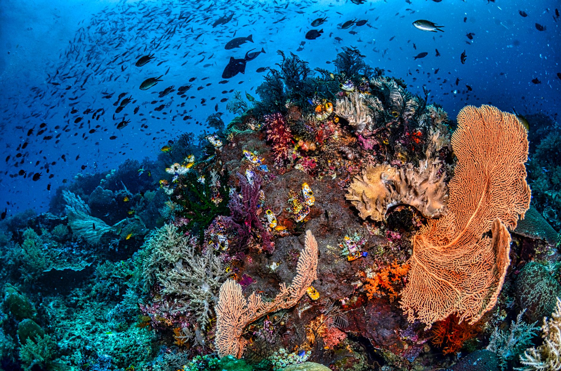

The Banda Sea, situated in the easternmost reaches of Indonesia within the famed Coral Triangle, represents one of the most complex, isolated, and geologically violent marine environments on the planet. This oceanic basin, characterized by abyssal trenches plunging past seven thousand meters in depth, functions as a gigantic natural laboratory where the world’s most active plate tectonics converge with marine biodiversity of colossal proportions. Far from conventional tourist routes, this labyrinth of volcanic islands and remote atolls hides pristine coral reefs that defy global bleaching thanks to deep currents constantly renewing their waters.
Exploring this marine territory requires understanding that the tranquil cobalt-blue surface conceals an implacable geological dynamic. The islands framing the sea—from the Moluccas to the Lesser Sunda chain—are summits of submarine volcanoes emerging from the depths, sculpted by the relentless collision of the Indo-Australian, Pacific, and Eurasian plates. This article examines how the unique combination of geographic isolation, ocean current regimes, and recent scientific efforts is reshaping the understanding of coral resilience in the face of global climate change.
The Tectonic Genesis of an Abyssal Basin
The formation of the Banda Sea stands as one of Southeast Asia’s most fascinating geological enigmas. Unlike typical epicontinental seas, this basin originated through a complex process of subduction and crustal extension that has generated an almost semi-circular curvature known as the Banda Arc. Extreme tectonic forces have fractured the seafloor into multiple microplates, creating an abrupt underwater relief composed of submerged ridges, vertical canyons, and unexplored abyssal plains.
This constant geological dynamism is not a phenomenon of the remote past; it remains active today. Frequent earthquakes and submarine volcanic activity supply essential minerals to the water column, fueling a highly productive trophic chain. Historical eruptions, such as Krakatoa on a smaller scale or the formation of new magmatic islands, demonstrate that this ecosystem is in permanent evolution, sculpted by subterranean fire and marine erosion.
Hydrography and the Motor of the Indonesian Throughflow
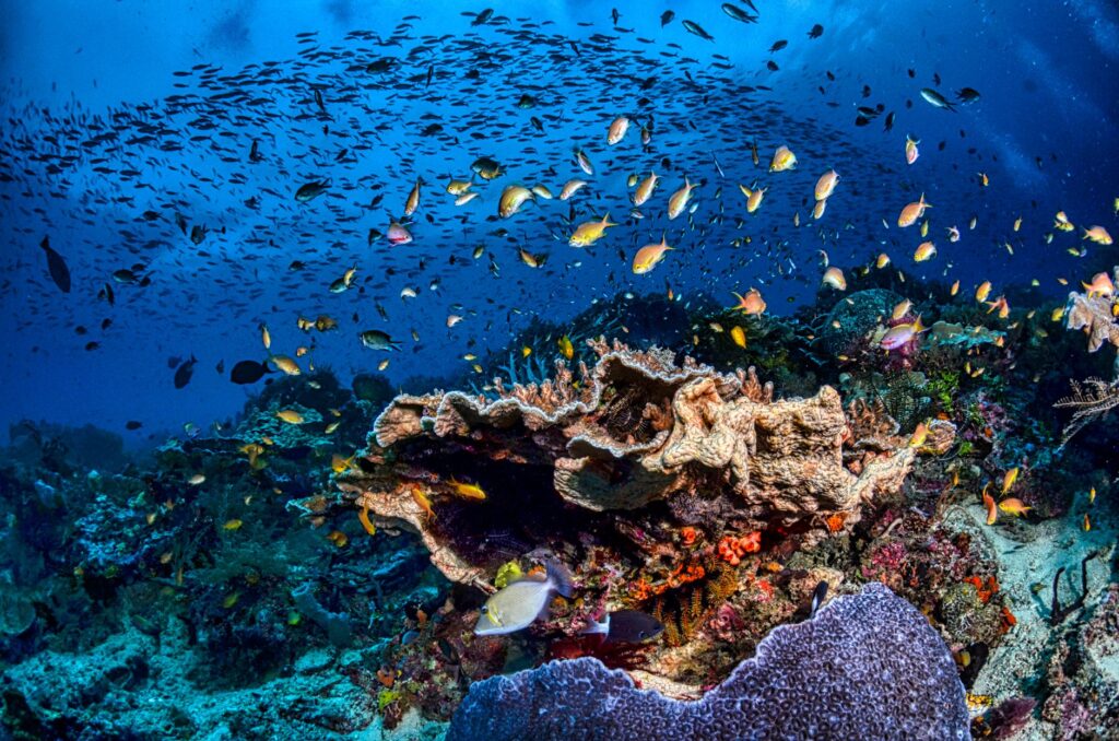
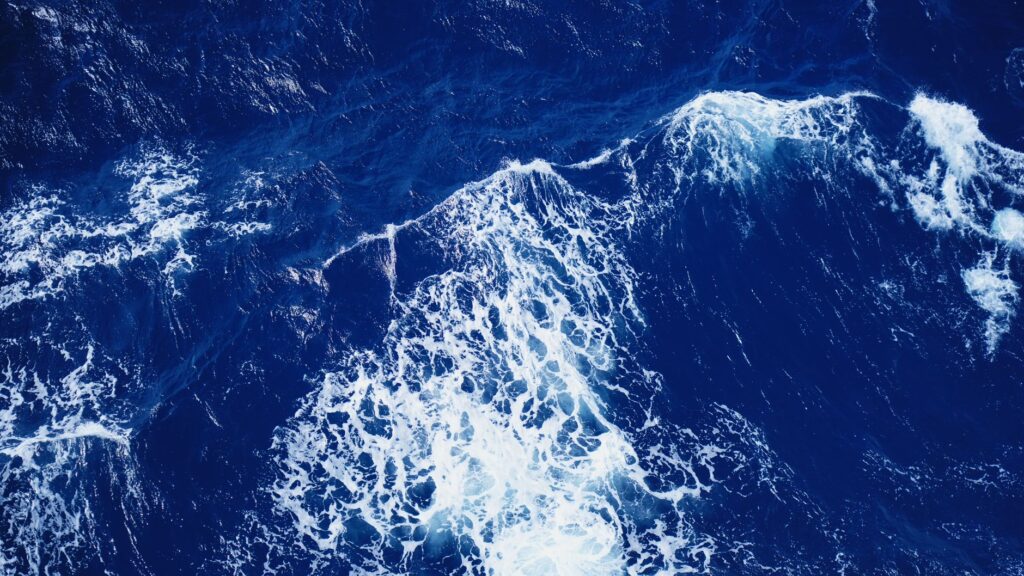
The hydrological behavior of the Banda Sea is dominated by the Indonesian Throughflow (ITF), a massive oceanic current transporting warm waters from the Pacific Ocean into the Indian Ocean through the narrow passages of the archipelago. This flow is not a uniform surface river, but rather a complex three-dimensional system interacting with the irregular underwater topography of the basin.
When deep currents collide with seamounts and continental slopes of the Banda Sea, upwelling phenomena are generated. These ascending currents transport cold, nutrient-rich waters laden with nitrates and phosphates from the abyssal depths into the upper photic layers. This natural chemical process acts as a constant fertilizer, allowing phytoplankton to bloom and sustain a biomass of large pelagic predators rarely observed in other tropical regions.
Benthic Biodiversity and Deep Coral Reefs
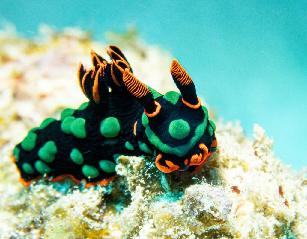
Despite global threats impacting coral reefs worldwide, the benthic ecosystems of the Banda Sea exhibit remarkable survival rates. Scientific expeditions conducted in remote atolls such as the Banda Islands or the Damar archipelago have documented exceptionally high hard coral cover and a species diversity exceeding seven hundred varieties of reef fish.
The key to this resilience lies in the relative thermal stability provided by deep currents. While semi-enclosed seas in the Caribbean or Southeast Asia suffer lethal temperature spikes during El Niño events, the cold water welling up from the Banda trenches mitigates thermal stress on shallow corals. Furthermore, the remoteness of these reefs from major urban centers has drastically reduced the direct pressure of coastal pollution and sedimentation derived from terrestrial deforestation.
The Realm of Pelagic Giants and Migratory Routes
The geographic position of the Banda Sea makes it a premier biological highway for marine megafauna. The open waters connecting the basin to the Flores Sea and the Indian Ocean are regularly traversed by migratory cetaceans, including blue whales, sperm whales, and various dolphin species that utilize the abyssal depths for hunting and acoustic communication.
Likewise, isolated seamounts act as cleaning stations and aggregation points for emblematic pelagic species. Hammerhead sharks, thresher sharks, and reef manta rays find ideal feeding conditions in these turbulent currents to prey on planktonic organisms. The constant presence of these apex predators is an indisputable biological indicator that the Banda Sea’s food web maintains a healthy, functional ecological balance.
Anthropogenic Pressures on the Marine Horizon
Despite its apparent remoteness, the Banda Sea is not immune to global and local pressures. In recent decades, the intensification of unregulated commercial fishing, driven by industrial deep-sea fleets, has begun decimating tuna and shark populations at the basin’s edges. Destructive fishing practices, though formally prohibited, persist artisanally in some isolated island communities heavily reliant on marine extraction for daily subsistence.
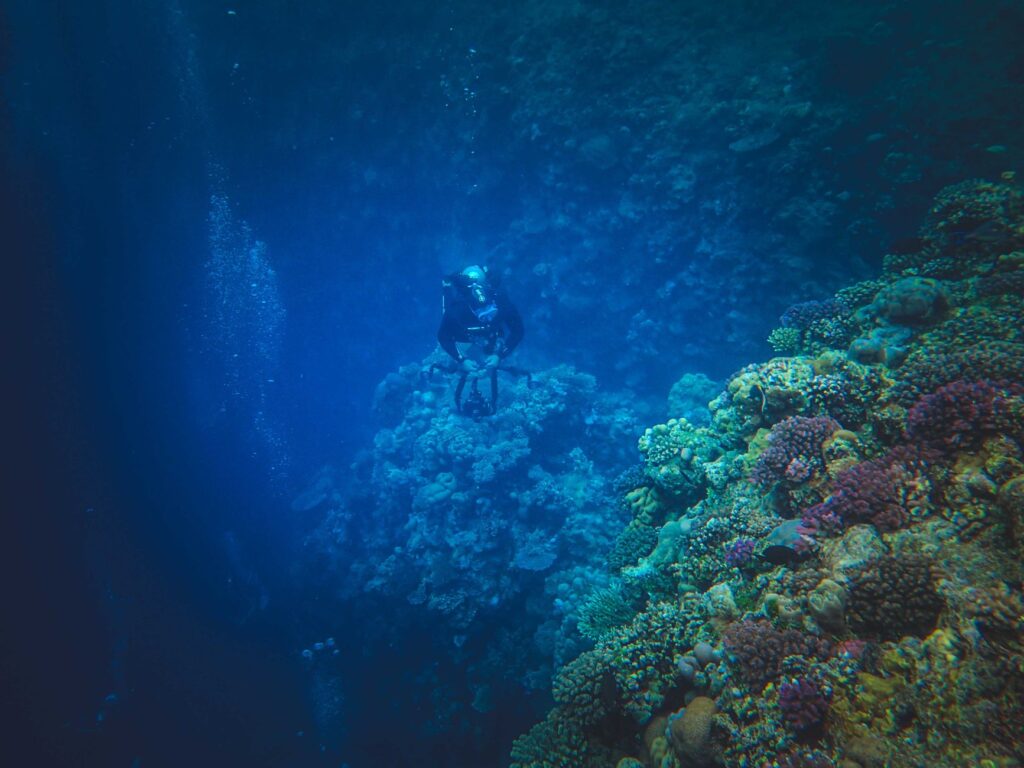
blockquote>Deep-sea conservation cannot rely exclusively on the declaration of surface-level protected areas; it requires rigorous satellite surveillance and the economic empowerment of coastal communities historically guarding these blue horizons.
Another emerging challenge is macroscopic climate change. Although upwelling temporarily mitigates surface warming, sustained global temperature increases and ocean acidification threaten to alter calcium carbonate chemistry, which is indispensable for the calcification of coral skeletons. Continued scientific research remains the sole tool capable of anticipating these impacts before they reach an ecological tipping point.
Governance Strategies and Marine Protected Areas
To curb environmental degradation, the Indonesian government, in collaboration with international and scientific organizations, has significantly expanded the network of Marine Protected Areas (MPAs) across the Maluku and Banda Sea regions. These zones are designed under strict zoning approaches, prohibiting extraction in critical spawning areas and permitting only low-impact artisanal fishing in authorized perimeters.
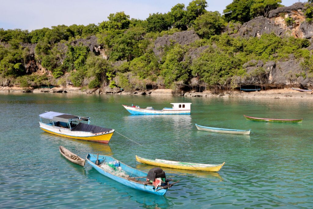
However, the effective implementation of these policies faces monumental logistical challenges due to the vast expanse of the oceanic territory and the scarcity of patrol vessels equipped to combat illegal, unreported, and unregulated (IUU) fishing. Integrating satellite monitoring technologies and actively involving local fishermen as reef guardians are the fundamental pillars upon which the future of environmental management in this basin is built.
Practical guide
Planning a scientific expedition or a low-impact diving journey to the Banda Sea requires meticulous logistics, given that tourism infrastructure is practically nonexistent outside of routes operated by specialized liveaboard vessels.
How to get there
The primary access point for Banda Sea expeditions is the city of Ambon, capital of Maluku province. Daily flights operate from Jakarta’s Soekarno-Hatta International Airport or Bali’s Ngurah Rai Airport, serviced by domestic carriers such as Garuda Indonesia, Lion Air, or Batik Air. From Ambon, the vast majority of explorers embark on dive and expedition cruises navigating several days toward the remote southern islands.
Best time to visit
Meteorological and maritime conditions vary dramatically due to monsoonal shifts. The period between October and December, as well as the months from March to May, offer the most stable navigation windows, featuring calm seas and underwater visibility frequently exceeding thirty meters. During the southwest monsoon months (June to August), strong winds and high swells severely hinder open sea navigation.
Logistical requirements and permits
Due to the ecological fragility and protected status of many Banda Sea atolls, special navigation and conservation permits issued by the Indonesian Ministry of Marine Affairs and Fisheries are mandatory. Authorized agencies and vessel operators generally handle this bureaucratic processing beforehand, with marine conservation fees typically included in the expedition’s total cost.
Health and safety in remote areas
Advanced medical care is nonexistent in the Banda Sea islands. The nearest hospital capable of resuscitation and hyperbaric chamber treatment is located in Ambon. Consequently, holding international travel insurance explicitly covering emergency medical evacuation and deep scuba diving is an absolute prerequisite. Bringing a comprehensive personal medical kit and updating vaccinations for tropical diseases common in the Indonesian archipelago is strongly recommended.
The vastness of the Banda Sea reveals itself ultimately not just in its geological abysses, but in the absolute stillness enveloping its islands at dusk. As the sun dips behind the perfect cone of a dormant volcano, painting the horizon in violet and ochre hues, the marine surface remains a dark mirror concealing beneath its salty skin the mysteries of a primordial world. Here, where the Earth fractures and the deep ocean breathes through millennial currents, nature continues writing its wildest tale, aloof from the noise of the Anthropocene, reminding humanity of the monumental scale of the processes sustaining blue life on this planet.