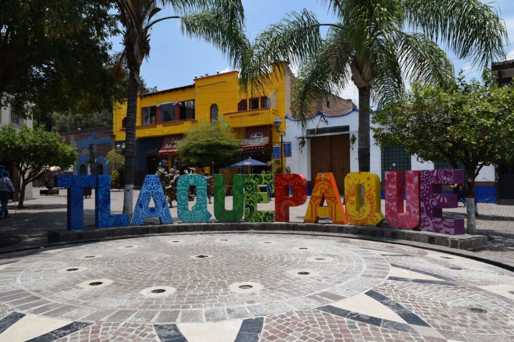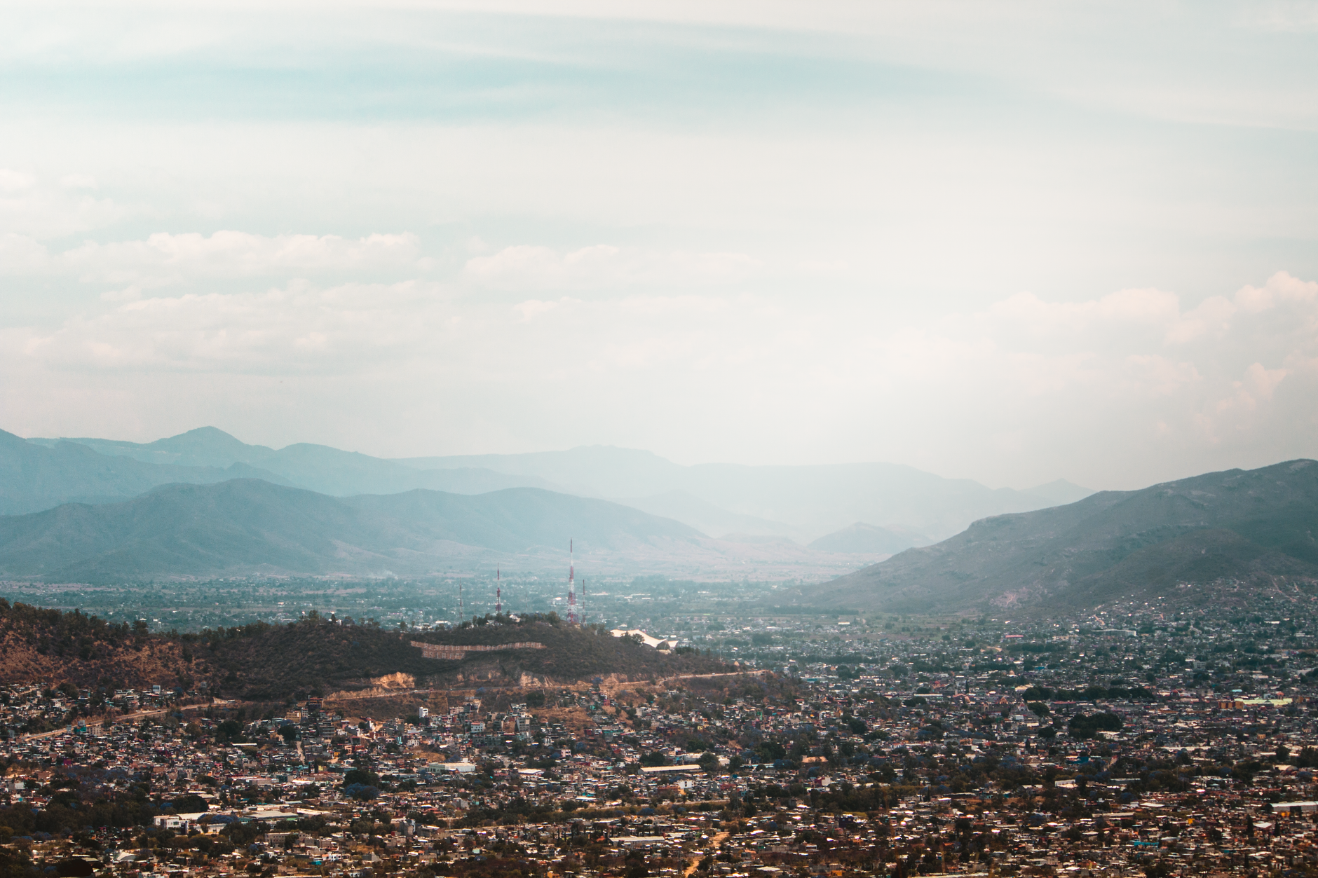

Naucalpan de Juárez is usually associated with traffic, shopping centres and the vast urban sprawl of the Valley of Mexico. Yet within its municipal boundaries, deep ravines, wooded slopes and industrial heritage coexist in a way that rarely appears in travel guides. At around 2,300 metres above sea level, this municipality in the State of Mexico offers demanding terrain for anyone planning an adventure expedition with care.
The key is not to look for a snow-capped peak or a multi-day route, but to understand that adventure here is measured in short elevation gains, sharp temperature swings and municipal regulations worth knowing before setting out. This report offers a practical reading: what to check, what to carry, what risks exist and how to move responsibly through a territory that mixes the urban and the natural.
A municipality of contrasts between city and ravine
Naucalpan de Juárez is part of the Mexico City metropolitan area, but its geography is far from flat. The municipality stretches from the more urbanised zones near Mexico City to hillside and ravine areas that reach into the Sierra de las Cruces. That transition explains why an adventure outing can begin beside a busy avenue and, within a few kilometres, end on a dirt trail surrounded by oaks and scrub.
The average altitude is around 2,300 metres, a figure that shapes both physical effort and weather. It is not extreme altitude, but it is enough for someone arriving from sea level to notice the difference when climbing a slope. The body responds with shorter breath and earlier fatigue, especially in the first days.
Adventure in Naucalpan does not begin at the summit: it begins with checking the forecast, the permit and the gear.
Highland weather: rainy season and cold mornings
The municipality has a temperate highland climate, with a rainy season that usually concentrates between May and October. That seasonality shapes any outing. In the wet months, ravines and slopes can become slippery, and channels that are normally dry may suddenly carry water. In the dry season, dust and solar radiation are the main challenges.
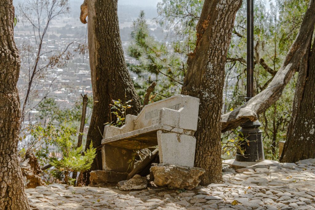
Mornings tend to be cold and afternoons warmer, with swings that call for layering. A common mistake is to set out in summer clothing and discover, by late afternoon, that the temperature has dropped several degrees. Fog also appears in higher areas and reduces visibility on roads and trails.
Permits and regulations: what to verify before setting out
Much of the terrain of interest for adventure in Naucalpan lies in ejido lands, conservation areas or spaces under municipal administration. There is no single rule for the whole municipality: each area may have different conditions. The practical recommendation, therefore, is to contact local authorities or the managers of each area before planning a route.
It is worth asking about access times, group restrictions, fire use and waste rules. Some spaces require prior registration; others simply recommend notifying them. The logic is simple: a clear permit reduces risks and avoids conflicts with landowners and communities.
- Check whether the area requires municipal or ejido authorisation.
- Confirm access and exit times.
- Ask about fire and overnight-stay restrictions.
- Report the size of the group and the equipment you will carry.
Real risks: elevation gain, traffic and uneven ground
The most underestimated risk in Naucalpan is not wildlife or altitude, but the combination of traffic, elevation gain and uneven terrain. Crossing a busy avenue with mountain gear, walking along a shoulder with no visibility or climbing a slippery slope are situations that demand constant attention. The proximity of the city does not eliminate outdoor hazards; sometimes it multiplies them.
In the rainy season, ravines can present falling rocks and mud. In the dry season, dehydration and sunstroke are concrete risks. Add to that air pollution in some areas, which can affect people with respiratory conditions. Planning must include a plan B and a clear exit point.
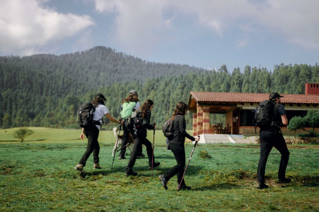
The proximity of the city does not reduce risk: it changes its shape. A good plan always includes an evacuation route.
Essential gear: layers, water and footwear with grip
For a day outing on the slopes of Naucalpan, gear should be functional and light. Footwear with a grippy sole is essential, especially on dirt or loose-stone slopes. Layered clothing allows you to adapt to temperature changes, and a light windproof or waterproof jacket covers weather surprises.
Water is another critical point. At 2,300 metres, thirst may feel lower, but fluid loss through breathing and sweating is real. Carry more water than seems necessary and avoid untreated sources. A compass, a map or a downloaded navigation app, plus a power bank, complete a reasonable basic kit.
Heritage and context: beyond the trail
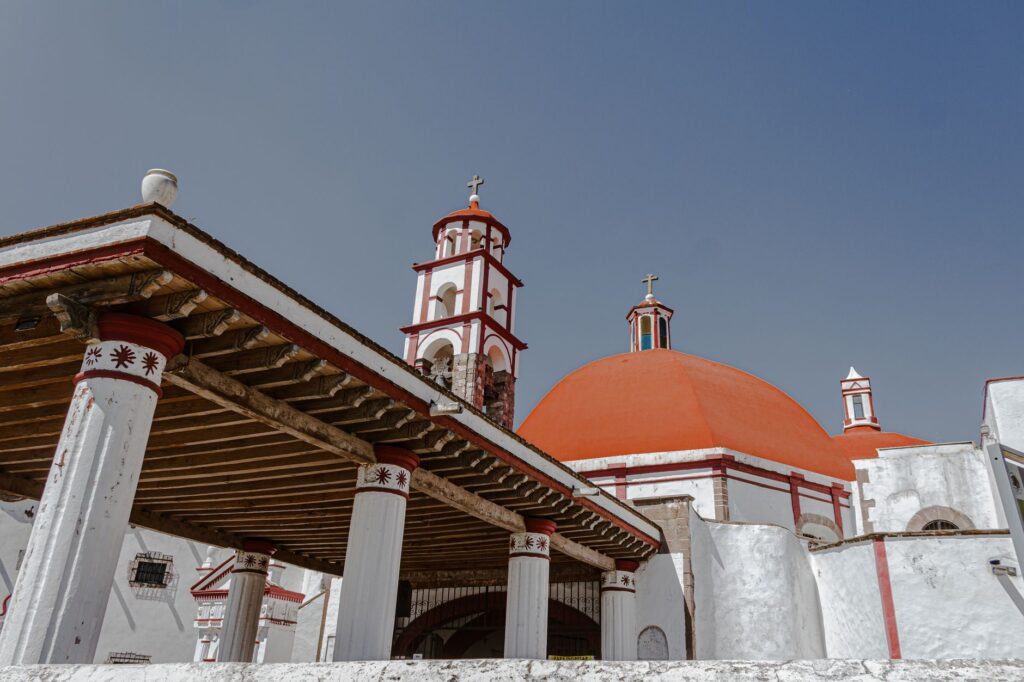
Naucalpan de Juárez has a history that goes beyond its contemporary image. Its name comes from Nahuatl and refers to a place of four neighbourhoods or houses. The municipality preserves traces of its pre-Hispanic and colonial past, as well as an industrial heritage that shaped its development during the twentieth century. That mix of historical layers gives any visit an interesting framework.
For the adventure traveller, heritage is not decoration: it helps explain why the territory is organised as it is, why some roads follow old alignments and why certain areas are protected. Learning before setting out enriches the experience and allows you to move with more respect for the place.
Responsibility: waste, noise and coexistence
Adventure in a densely populated municipality demands a clear ethic. Waste should return with whoever generated it; noise should be kept low; and private property should be respected. In Naucalpan, as in many urban-fringe territories, coexistence between visitors and residents is a sensitive issue. A greeting, a friendly question and a willingness to follow local indications make a difference.
It is also worth resisting the temptation to improvise routes outside established paths. Erosion and disturbance of vegetation are real problems on fragile slopes. Walking on marked trails is not a limitation: it is a way of conserving the place for those who come later.
Practical guide
When to go: the dry season, roughly November to April, offers better walking conditions, though mornings remain cold. The rainy season demands more caution and flexibility.
How to get there: Naucalpan connects to Mexico City via several avenues and expressways. Public transport and local taxis are common options, but plan around rush hours.
What to carry: grippy footwear, layered clothing, enough water, sun protection, a light waterproof, a map or downloaded navigation app and a power bank.

What to verify: access permits, opening times, fire restrictions and ground conditions. A trusted local contact can save more than one problem.
What to avoid: setting out alone without telling anyone, improvising routes off the trails, leaving waste and underestimating the effect of altitude.
A closing between city and slope
At the end of the day, Naucalpan de Juárez offers a double image: that of an urban municipality and that of a territory of ravines and woods that demands preparation. Adventure here is not measured in kilometres covered, but in the quality of the planning. Those who arrive with the right gear, the correct information and a respectful attitude discover a place that rewards caution with unexpected landscapes.
The next outing can begin with a simple question: is everything checked? If the answer is yes, the trail is waiting.