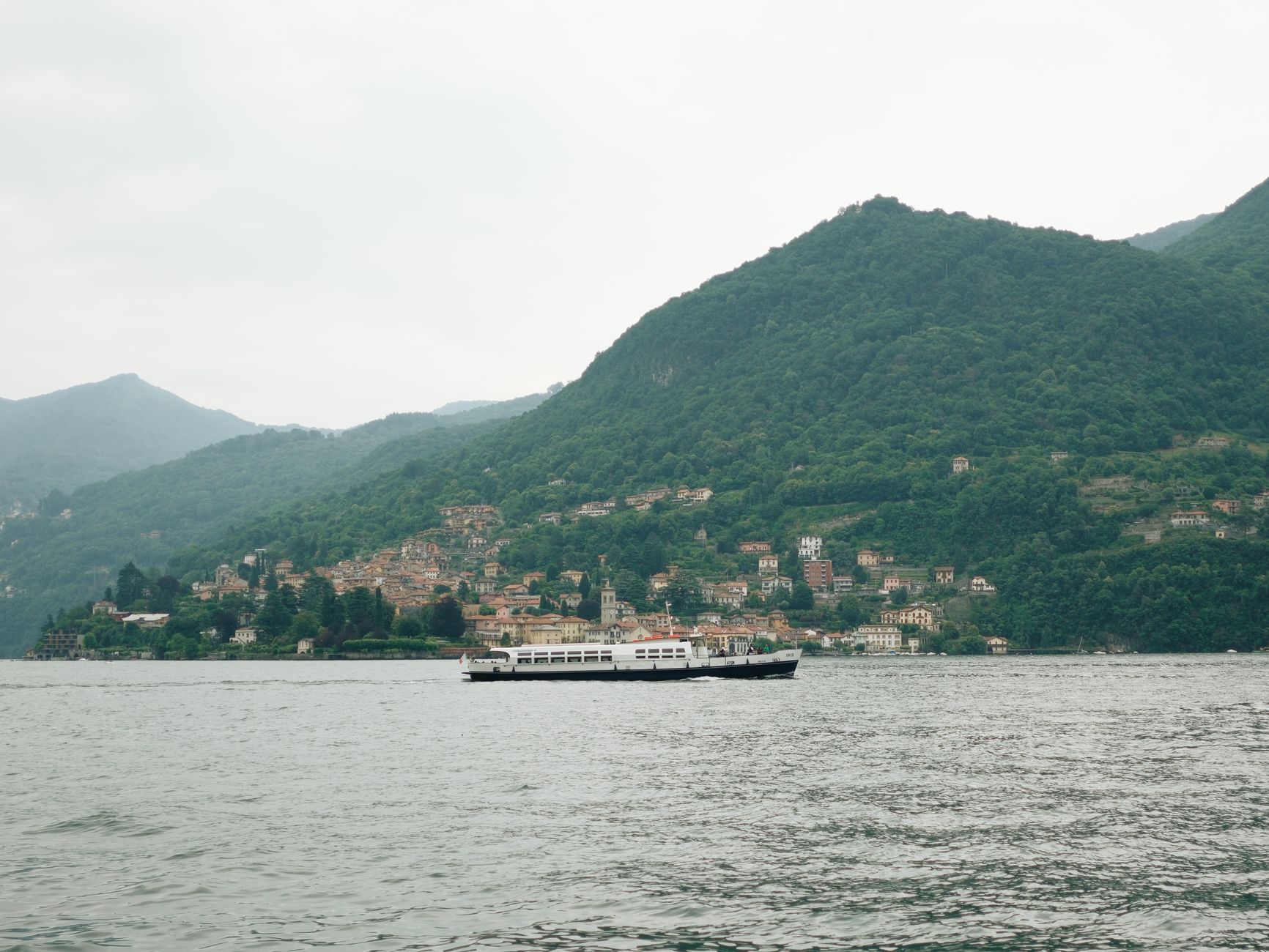

On the eastern branch of Lake Como, a fleet of electric ferries and the historic Milano-Lecco-Colico-Sondrio railway line join forces to offer low-emission, low-impact mobility in one of the most fragile landscapes of the Italian Alps.
The traveler who arrives in Varenna by train from Milan discovers that the lake is not just a backdrop: it is the infrastructure that organizes the daily life of tens of thousands of people. Between ferries crossing to Bellagio, funiculars climbing to hillside villages, and buses hugging the coast, a mobility model is being built that seeks to reduce emissions without losing connection with the lakeside communities.
This report focuses on the eastern shore, the one running from Lecco to Colico, because it is there that the coexistence of water, railway and road is tightest and where transport decisions have the most immediate effect on the landscape and on the daily life of those who live in the area all year round.
The lake as a liquid highway
Lake Como, with its 146 square kilometers and maximum depth of 410 meters, is a natural barrier that has conditioned the development of its shores. The eastern branch, from Lecco to Colico, concentrates a succession of towns —Varenna, Bellano, Dervio, Colico— where the SS36 road and the railway share a narrow space between the mountain and the water. In this context, public transport is not a secondary option: it is the backbone of mobility.
The elongated, narrow shape of the lake forces long overland detours to move from one point to another. That is why the boat has historically been both a shortcut and an everyday service. Ferries do not only carry tourists: they transport neighbours, students, workers and goods between shores that would otherwise be separated by detours of dozens of kilometres.
The Milano-Lecco-Colico-Sondrio railway line, managed by Trenord, is the main artery connecting with the outside world. Regional trains link Milan with Lecco in about 40 minutes and continue to Colico and Sondrio. This line, electrified for most of its length, allows access to the main hubs without depending on a car. In parallel, the bus network of the province of Lecco covers the stretches that the train does not reach, especially on the western shore.

The result is a multimodal system in which each mode covers a different stretch: the train for long distances and the connection with Milan, the boat for crossings between shores, the bus for valleys and slopes, and the funicular or the trail for the final climb to the higher villages.
Electric ferries: the silent bet
Navigation on Lake Como has historically been a public service. Gestione Governativa Navigazione Laghi operates the routes connecting Como, Lecco, Bellagio, Varenna, Menaggio, and Colico, among other points. In recent years, the fleet has incorporated more efficient units and tests have been carried out with hybrid and electric vessels. Although there is not yet a fully electric fleet, the direction is clear: reduce emissions and noise in a sensitive environment.
The advantage of the electric boat on an alpine lake is twofold. On the one hand, it removes local combustion emissions in a closed basin, where pollutants disperse with difficulty. On the other, it reduces noise, a relevant factor in a landscape where silence is part of the appeal and of the quality of life of residents.
The ferry between Varenna and Bellagio, one of the most iconic crossings, carries both passengers and vehicles. In high season, the frequency is high and the service becomes a real alternative to the car for moving between the two shores. The crossing, about 15 minutes, offers a perspective of the lake that no other means provides.
For the traveller without a car, the boat is also a way of linking railway stations located on opposite shores. Combining a regional train with a ferry makes it possible to build itineraries that would be impossible by road in a reasonable time, and avoids depending on a private vehicle in an area where parking is complicated.
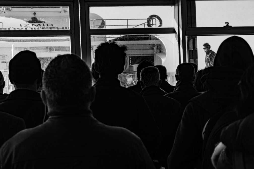
Mobility on Lake Como cannot be understood without the water: ferries are the bridge between communities that the mountain separates.
The alpine railway: a line with history
The railway line that runs along the eastern shore of the lake has its roots in the 19th century, when the industrial expansion of the area required a reliable connection with Milan. Today, the line is an example of infrastructure that has adapted: modern regional trains offer frequent and affordable service, and electrification has reduced environmental impact.
The history of this line is linked to the textile and metallurgical development of the area, which needed to send products to Milan and receive raw materials. That original function explains its layout: clinging to the coast, following the profile of the lake, with stations in the settlements that then concentrated activity. Today that same geometry serves a very different use, that of the traveller and the resident who commutes daily.
The stretch between Lecco and Colico is especially picturesque. The train runs close to the hillside, with the lake on one side and the mountains on the other. At the stations of Varenna, Bellano, and Dervio, the platforms are gateways to the towns. Fare integration with buses and ferries, though imperfect, allows car-free itineraries to be designed.
Travelling by train along this shore has an added practical advantage: the railway track is, in many stretches, the only infrastructure that runs beside the water without depending on traffic. While the SS36 bears the congestion of high season, the train keeps its rhythm and offers a predictable alternative.
Funiculars and trails: vertical mobility
In Varenna, a funicular connects the town with the frazione of Perledo, located on the hillside. In other points, such as Bellagio, trails and stairways are part of the pedestrian network. Mobility on Lake Como is not only horizontal: the steep slopes force a combination of means. Funiculars, often locally managed, are essential infrastructures for residents and attractions for visitors.
This vertical dimension is easy to overlook when thinking about mobility, but on an alpine lake it is decisive. Many villages have a lower part, by the water, and an upper part, on the slope, and the difference in elevation can be several hundred metres. Without a funicular, that distance becomes a long climb for those who live above and work below.

The trail network, such as the Via dei Monti Lariani, offers active mobility alternatives. These paths, signposted and maintained by local entities, allow movement between towns without depending on motor vehicles, although they require time and physical fitness.
For the visitor, combining train, funicular and trail makes it possible to build car-free days in which the journey is part of the experience. For the resident, by contrast, these infrastructures are everyday services whose continuity and maintenance are essential.
The challenge of seasonality
Lake Como receives millions of visitors each year, concentrated in the spring and summer months. This seasonal pressure strains the transport system: ferries fill up, trains are crowded, and roads become congested. Managing these flows is one of the main challenges for local authorities.
Seasonality does not only affect traveller comfort, but also service planning. Sizing a fleet or a frequency for summer peaks means oversizing resources that remain underused the rest of the year; sizing them for the annual average means leaving moments of maximum demand unanswered.
To mitigate the impact, measures such as extended schedules in high season, promotion of integrated tickets, and improved traveller information have been implemented. However, seasonality remains a factor conditioning the sustainability of the model.

One of the keys to managing these peaks is real-time information: knowing when the next boat leaves, whether the train is delayed or whether a car park is full allows the traveller to decide without improvising and to spread demand better throughout the day.
The balance between residents and visitors is fragile: sustainable mobility must guarantee the right to move for those who live on the lake all year round.
Local initiatives and citizen participation
Various local associations and cooperatives work to promote more sustainable mobility. From cycling groups demanding safe lanes to collectives defending landscape conservation, civil society participates in the debate on the future of transport in the area.
Citizen participation carries particular weight in a territory where infrastructure decisions directly affect the landscape. A lane, a pier or a new train frequency are not only technical questions: they modify the relationship of inhabitants with their surroundings and with the flow of visitors.
One example is the growing network of electric bicycle rentals in towns such as Bellagio or Menaggio, which facilitates short car-free trips. Projects for “soft mobility” connecting train stations with trails and viewpoints have also been promoted.
These initiatives, often small in scale, have a cumulative effect: each cyclable stretch, each signposted trail and each rental point broaden the range of options for those who want to move without their own vehicle, and reduce dependence on the car in everyday journeys.
What can be learned from this model
The case of Lake Como shows that sustainable mobility in an alpine territory does not depend on a single technology, but on the combination of already existing modes and their coordination. Train, boat, bus, funicular and trail form a system whose effectiveness lies in the connection between them.

It also shows that electrifying a fleet is a gradual process. Moving from conventional vessels to hybrid ones and then to electric ones requires testing, adaptation of shore infrastructure and staff training. It is not an instantaneous change, but a transition measured in years.
And it shows, above all, that the sustainability of transport is not measured only in emissions. It is also measured in the capacity of a system to serve those who live there all year round, to maintain cohesion between towns separated by water and to preserve a landscape that is at once an economic resource and a collective heritage.
Practical guide
To move around Lake Como without a car, plan ahead. The Milano-Lecco-Colico-Sondrio train line offers frequent connections; tickets can be purchased at automatic machines or via the Trenord app. Navigazione Laghi ferries cover the main routes; in high season, it is advisable to check schedules and book for vehicles. Local buses connect the towns less served by train. For short trips, the electric bicycle is a practical option in many municipalities. Official tourist information, available at the offices in Lecco and Como, provides updated maps and timetables.
- Check train and boat schedules before setting your itinerary: frequencies vary by season.
- If you travel with a car, bear in mind that the ferry may require a reservation for vehicles in high season.
- Combine railway stations with nearby piers to cross between shores without road detours.
- For the higher villages, check whether a funicular or bus service exists before planning a climb on foot.
- Wear suitable footwear if you plan to use trails: the slopes can be demanding.
- Ask at the tourist offices in Lecco and Como about integrated tickets and updated maps.
A closing with lake views
At sunset, when ferries slow down and the lights of the towns reflect on the water, Lake Como shows its dual nature: that of an exceptional landscape and that of a transport system that sustains daily life. The transition to cleaner mobility is not just a technical matter; it is a way to preserve a fragile balance between water, mountain, and the people who inhabit it.
That balance is not achieved at once or with a single measure. It is built with small, sustained decisions: one more frequency, a quieter boat, a better signposted trail, clearer information. In a territory where water and iron have been organizing life for more than a century, the mobility of the future will probably look less like a revolution and more like a patient sum of continuities.