
Introduction to the Heart of the Mid-Atlantic
The Azores archipelago emerges in the isolation of the North Atlantic as one of the most dynamic and geologically complex volcanic formations on the planet. Situated directly atop the Mid-Atlantic Ridge, these nine main islands represent not only the emerged summit of the world’s longest underwater mountain range, but also an unavoidable confluence point for ocean currents, cetacean migration routes, and deep-water navigation. Approaching this territory via a scientific support vessel allows for a profound understanding of an ecosystem where the distance between local ports conceals a vast and demanding network of maritime transit.
Inter-island traversal is not a mere touristic journey, but an operation of nautical precision conditioned by rapid frontal storms, strong trade winds, and highly changeable weather that can transform the sea in a matter of hours. Planning a nautical expedition in this environment requires deep knowledge of regional oceanography, absolute respect for available port refuges, and a logistical infrastructure capable of responding to emergencies on the open ocean. This report examines with technical rigor the operational keys, navigation routes, and safety protocols necessary to chart a safe course through the Atlantic labyrinth of the Azores.
The Geography of the Mid-Atlantic Ridge and Its Impact on Navigation
Understanding the behavior of the Azorean sea requires looking down at the ocean floor. The Mid-Atlantic Ridge marks the tectonic boundary between the North American, Eurasian, and African plates. This intense submarine geological activity generates a topography of seamounts, trenches, and steep slopes that drastically modify wave action and tidal currents. When swells originating from the north or west collide with these submerged structures, crossed seas and wave refraction phenomena occur, surprising even experienced navigators.
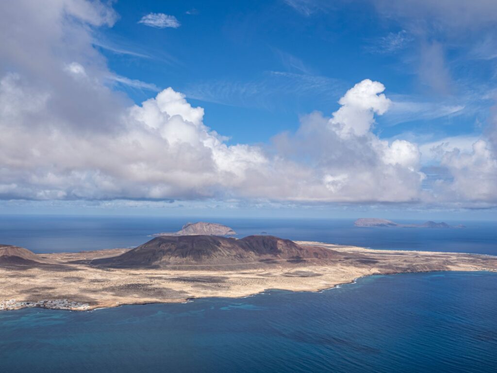
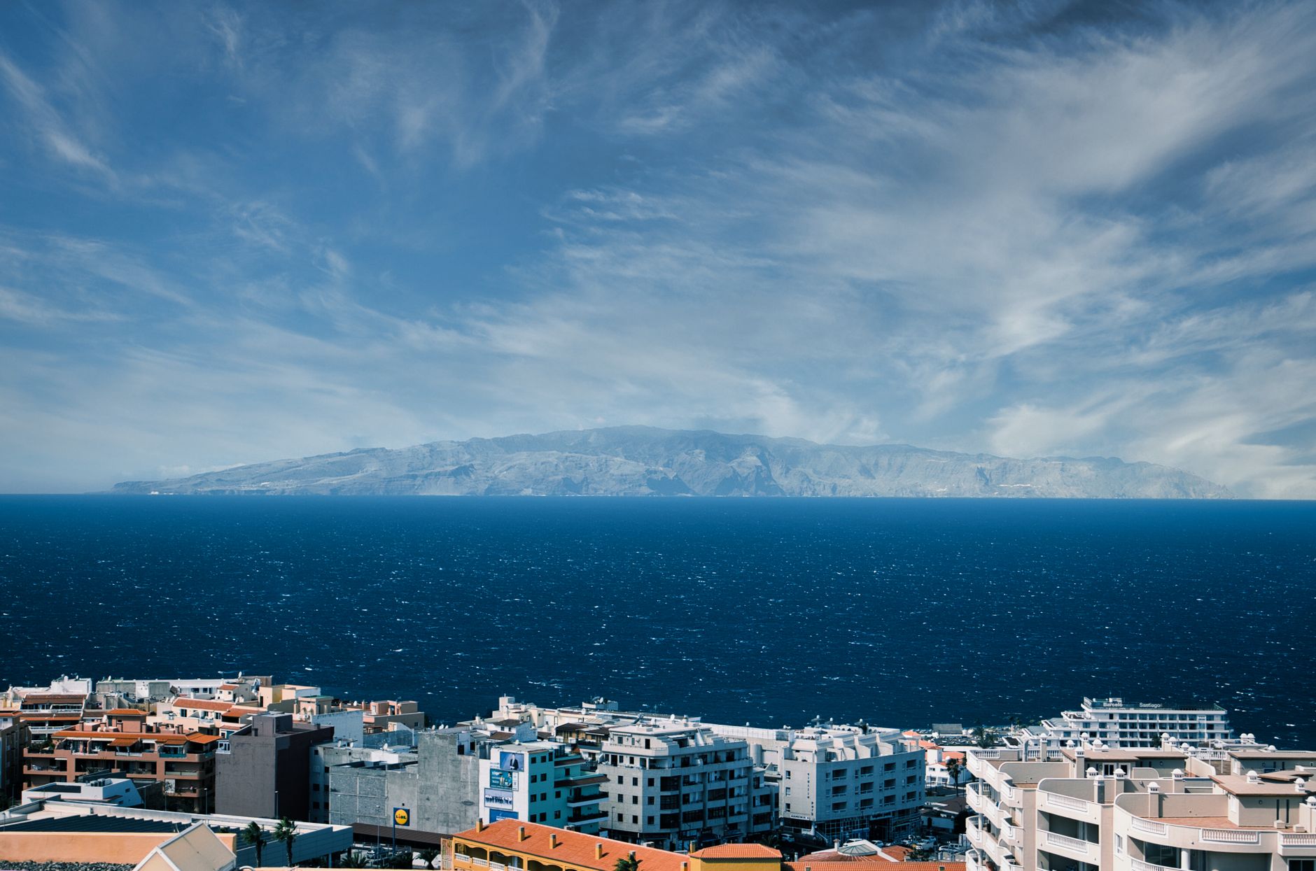
The islands are traditionally divided into three groups —the eastern group with São Miguel and Santa Maria; the central group with Terceira, Graciosa, São Jorge, Pico, and Faial; and the western group with Flores and Corvo— separated by deep channels where tidal currents reach considerable speeds. Navigating through the Faial Channel or the channel between Pico and São Jorge entails managing heavy swells and local turbulence caused by the orographic shadow of the large insular volcanoes, such as the peak of Pico Island, which at 2,351 meters alters wind patterns and generates violent downward gusts locally known as lee calms.
The Mid-Atlantic tolerates no improvisation; every wave crashing against the basaltic cliffs of the Azores recalls the implacable energy of a crust in permanent expansion.
To mitigate the risks derived from this geography, captains of scientific support vessels operate with high-resolution bathymetric mapping systems and short-term numerical wave prediction models. Constant barometric pressure monitoring is the most effective tool for anticipating the arrival of low-pressure systems descending from Newfoundland, which typically strike the archipelago hard before dissipating toward Europe.
Port Logistics and Maintenance in Volcanic Islands
The port infrastructure of the Azores is as varied as its geography. While islands like São Miguel and Terceira feature deep-water ports capable of receiving cargo vessels and cruise ships, in smaller islands like Corvo or Graciosa, facilities are reduced to sheltered basins protected by breakwater dikes that demand pinpoint maneuvers, especially during winter storms or the autumn transition months.
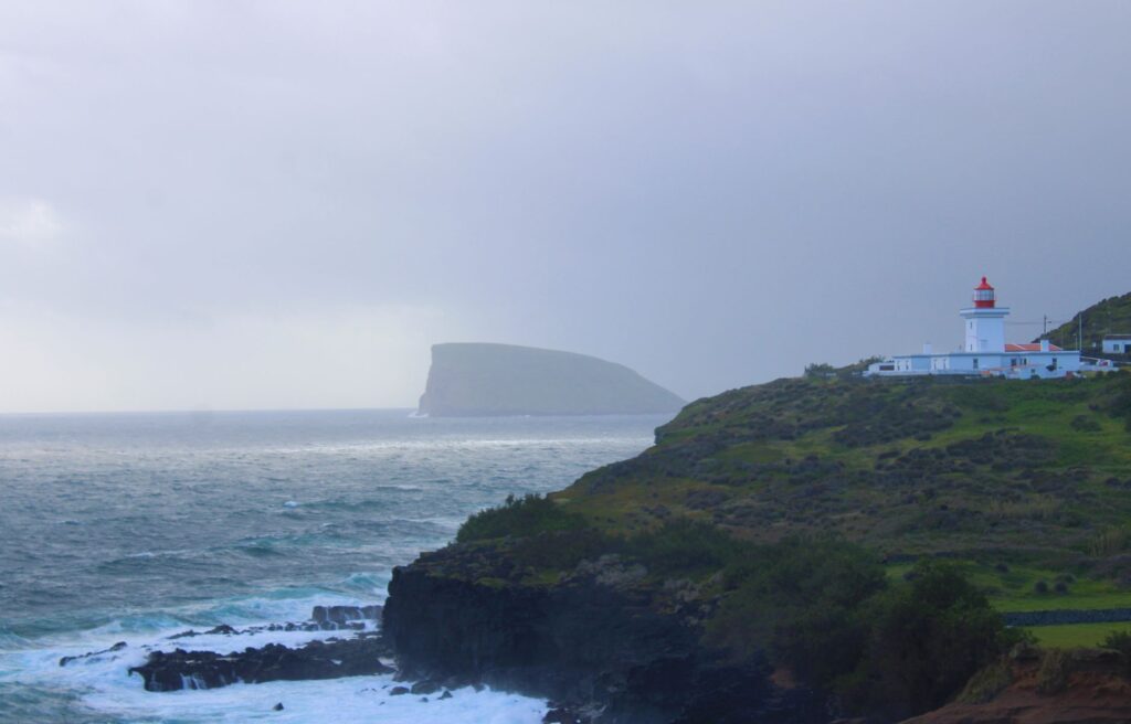
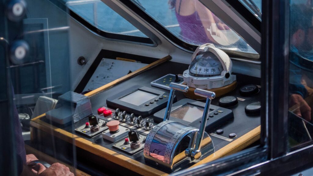
The management of fuel, fresh water, and electricity en route requires rigorous planning. Not all marinas feature fast supply points or the capacity to pump out gray and black water, compelling expedition vessels to operate with high technical autonomy. Hybrid propulsion systems and redundancy in electronic navigation equipment —broadband radars, Automatic Identification Systems (AIS), and multiple GPS positioning sources— are indispensable for preventing mechanical failures in areas where maritime rescue may be delayed due to distance from the coast.
Furthermore, preventive hull maintenance and steering systems take on special relevance due to extreme salt corrosion and the presence of floating volcanic debris or logs dragged by the Gulf Stream. Local slipways, though equipped for basic repairs, often have tonnage limitations, meaning any major naval engineering intervention must be coordinated in advance at the main shipyards of Ponta Delgada or Horta.
Interaction with Marine Biodiversity and Regulatory Framework
The Azores are one of the most important cetacean sanctuaries in the world, hosting resident and migratory populations of sperm whales, fin whales, bottlenose dolphins, and orcas. For a scientific support vessel, this biological richness imposes a dual responsibility: gathering oceanographic and animal behavior data without interfering with the habits of protected species.
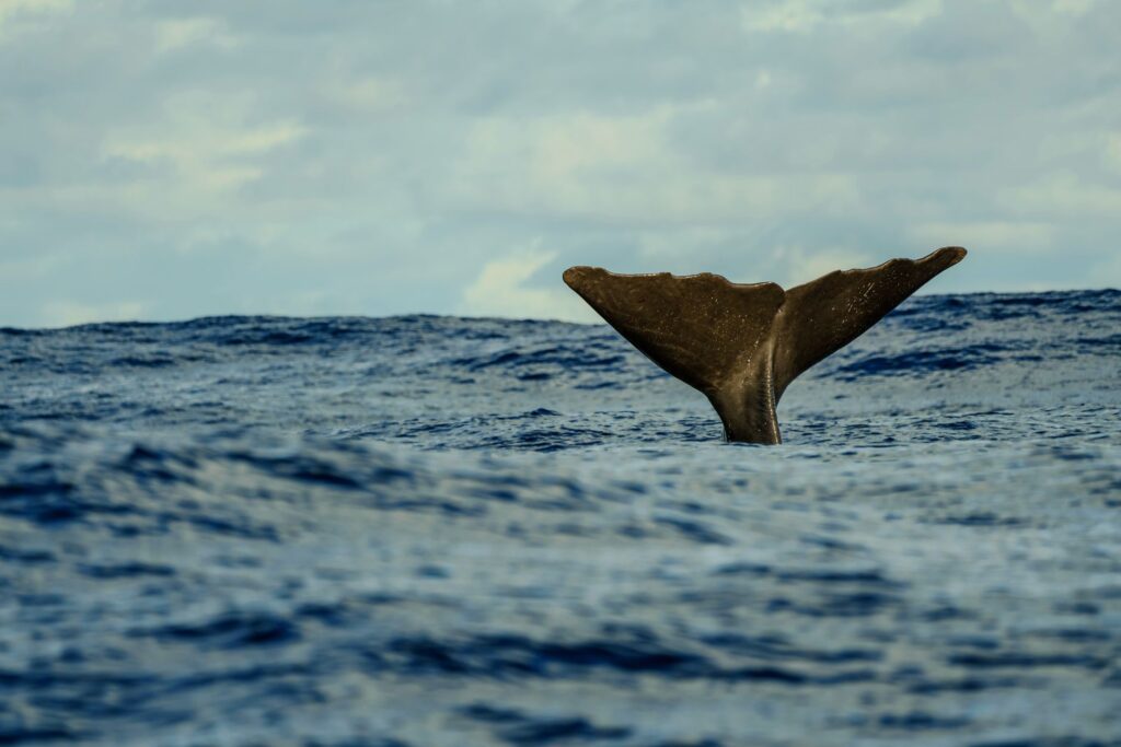
Portuguese and insular legislation establishes strict safety perimeters and speed limits for navigation in marine protection areas. Vessels must maintain a minimum approach distance to cetaceans, reduce speed to under five knots when entering frequent sighting zones, and avoid crossing the diving trajectories of the animals. The use of towed hydrophones is a standard practice on scientific ships to record sperm whale vocalizations, enabling spatial distribution mapping without requiring direct visual sightings.
This peaceful and regulated coexistence with the marine environment not only guarantees ecosystem conservation but also enriches the expedition experience. Researchers and crew members share watch shifts from the bridge, recording surface water temperature, salinity, and microplastic presence, turning every nautical mile sailed into a direct contribution to scientific knowledge of the Atlantic Ocean.
Oceanic Meteorology and Route Strategies
The wind regime in the archipelago is dominated by the Azores High, a subtropical high-pressure system regulating the region’s climatic stability. However, its position oscillates throughout the year, shifting northward in summer and retreating southward in winter. This dynamic generates relatively stable summers with light easterly or northeasterly winds, and winters characterized by the rapid succession of cold fronts, southwesterly gales, and swells formed thousands of kilometers away.
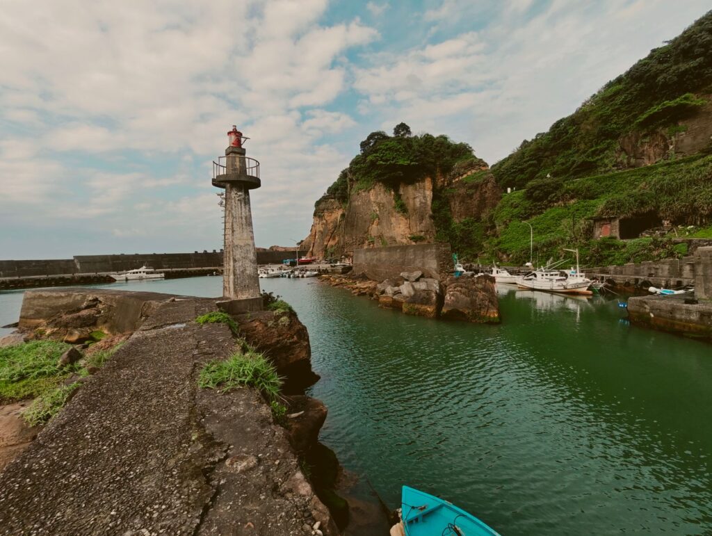
- Daily evaluation of bulletins from the Portuguese Institute for Sea and Atmosphere (IPMA) and global GFS models.
- Prior identification of alternative refuge ports along the planned route in case harbor basins are closed.
- Establishment of night navigation protocols adapted to the presence of fishing buoys and local merchant traffic.
- Strict management of ballast and fuel reserves to maintain optimal center of gravity in heavy seas.
When a storm forces the suspension of inter-island navigation, teams must resort to sheltered anchorages or remain docked in main ports, using hours of inactivity to calibrate oceanographic instruments and review safety systems on board.
Practical guide
How to get there: Ponta Delgada International Airport (PDL) in São Miguel and Lajes Airport (TER) in Terceira receive regular flights from Lisbon, Porto, and major North American hubs. Travel between smaller islands is conducted via air connections operated by SATA Air Açores or through passenger and cargo ferries operated by Atlânticoline.
Best time for navigation: Between June and September, when the Azores High stabilizes, offering gentler seas, lower storm frequency, and optimal water temperatures for underwater research. Winter navigation (November to March) is reserved exclusively for professional crews with high-seas oceanographic vessels.
Documentation and permits: European Union citizens can enter with a valid ID card or passport. For conducting scientific research in Azorean territorial waters, obtaining the corresponding permits months in advance from the Regional Secretariat for Sea and Fisheries is mandatory.
Recommended equipment: High-performance waterproof and breathable technical clothing, non-slip deck shoes, personal satellite communication devices, emergency GPS locator beacons (PLB), and waterproof cases for optical and electronic gear.
The Ocean’s Echo in the Insular Frontier
At dusk, when the dark profile of the islands is silhouetted against a horizon ignited by the final rays of the sun, the vastness of the Atlantic reveals its true dimension. Traversing the Azores archipelago is measured not merely in nautical miles sailed or data recorded in logbooks, but in the capacity to attune oneself to the ocean’s ancestral rhythm. Aboard the support vessel, the constant murmur of the hull cutting through the cold, deep water merges with the whistling of the wind through the shrouds, recalling that these islands are not the end of the road, but the most solitary and living refuge of the great open sea.