
Introduction to the Great Trail of Aotearoa
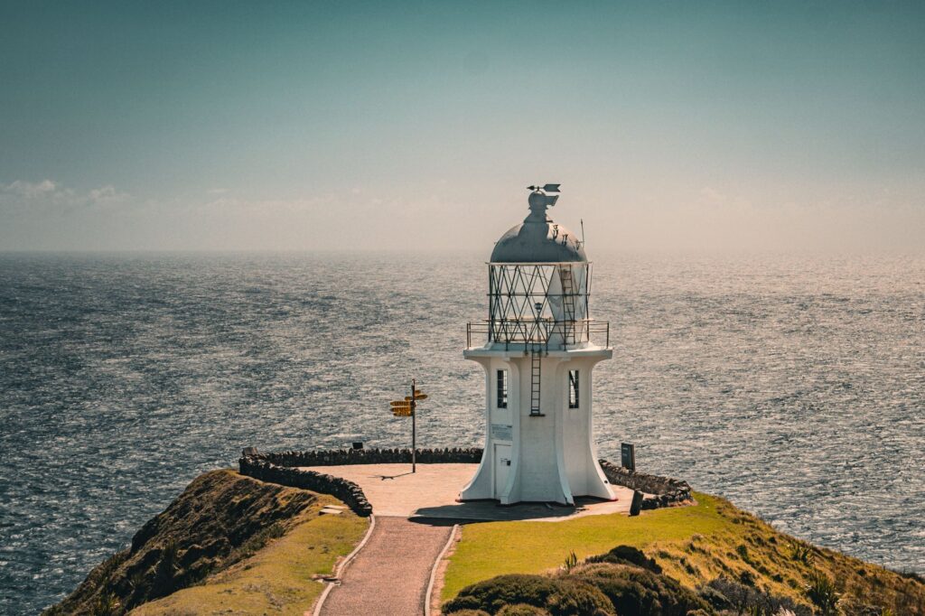
The island territory of New Zealand, known by its Māori name Aotearoa or the Land of the Long White Cloud, encloses one of the most dynamic and challenging geographies on the planet for long-distance backpacking. The Te Araroa trail, stretching over three thousand kilometers from Cape Reinga in the far north to Bluff in the deep south, represents much more than a long-haul route: it is a cross-country traverse connecting subtropical coasts, active volcanic ranges, glacial fiords, and untamed river valleys. Formally conceived and opened in 2011 after decades of community effort, this corridor demands that the trekker combine precise physical endurance, technical autonomy, and profound respect for the oceanic weather conditions that characterize the Tasman Sea and the South Pacific.
Unlike other consolidated continental routes, Te Araroa is neither a homogeneous path nor paved by human hands. Its layout intertwines protected forest tracks, wave-beaten sandy beaches, secondary gravel roads, exposed alpine ridges, and riverbeds where sudden floods constitute a real and constant risk. Approaching this expedition requires understanding that success lies not in the speed with which the journey is completed, but in the capacity to adapt to an environment where nature imposes its own rules and schedules. Technical preparation begins long before lacing up boots, demanding meticulous analysis of official cartography, hut systems, and appropriate seasonal windows.
The Geography of Extremes and Stage Planning
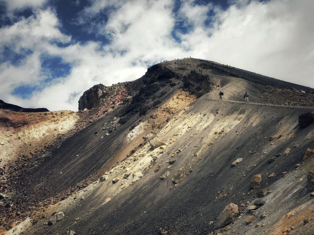
New Zealand’s geological backbone is marked by the Alpine Fault and the active volcanism of the North Island, elements that drastically define the trail’s morphology. In the northern sector, hikers face endless beaches where the tide dictates the pace of advance, combined with mangroves and clay hills where footwear suffers accelerated wear. As the route descends toward the center of the North Island, the terrain transforms into volcanic plateaus dominated by the imposing peaks of Tongariro, Ngauruhoe, and Ruapehu. Here, basaltic rock and shifting weather conditions demand robust windproof gear and precise navigation using GPS and printed topographic maps.
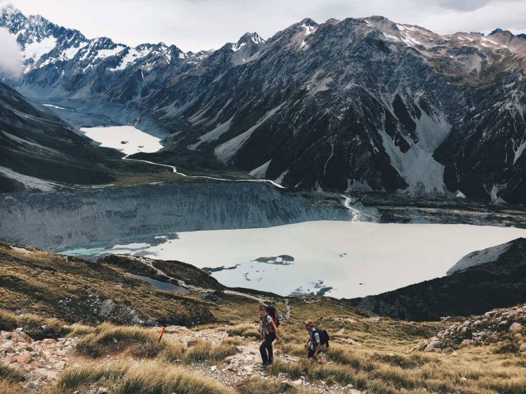
The crossing to the South Island marks Te Araroa’s true alpine baptism. After disembarking in Picton, hikers plunge into the Richmond Ranges and the towering Southern Alps, or Kā Tiritiri o te Moana. This section comprises high mountain passes, unstable scree slopes, and the crossing of ridges exposed to gale-force winds. Stage planning in this portion of the route must be calculated with wide safety margins, given that Department of Conservation huts operate under a scheme of self-sufficiency and first-come, first-served occupancy. The distance between resupply points can exceed five days of autonomous marching, forcing trekkers to carry heavy loads of dehydrated carbohydrates and technical fuel.
Oceanic Climate Management and Remote Terrain Safety
The meteorological factor in New Zealand is proverbial for its volatility. Being exposed amid oceanic vastness, the islands receive low-pressure fronts originating from the Tasman Sea with extreme speed. A sunny summer day in the southern hemisphere can transform within hours into a storm featuring torrential rain and drastic temperature drops. For this reason, the layering system in clothing—utilizing locally sourced merino wool and high-end breathable waterproof membranes—is non-negotiable. Hypothermia constitutes the most serious latent danger, even during the high summer months of January and February.
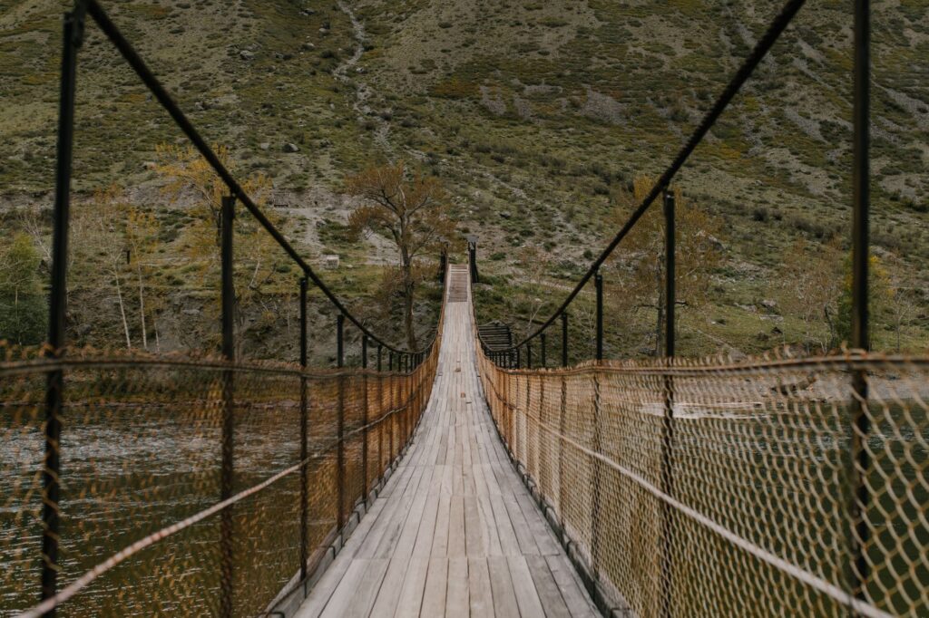
Another critical challenge lies in river crossings. Many watercourses lack suspension bridges and depend entirely on expert reading of water volume and group wading techniques. A river that in the morning presents a knee-deep waddable level can become an impassable torrent by afternoon due to accelerated snowmelt or accumulated rainfall in the summits. The golden rule dictated by local rescuers is simple yet categorical: when in doubt, never cross. Waiting twenty-four hours in the safety of the riverbank is part of the correct strategy for any experienced trekker who prioritizes survival over rigid schedules.
Nutritional Sovereignty and Resupply Logistics
Food self-sufficiency on Te Araroa demands meticulous logistical engineering. Throughout the three thousand plus kilometers, the trail crosses small towns and medium-sized cities where provisions can be replenished, but it also plunges deep into wilderness zones where the only source of calories is what the backpacker carries. The standard strategy involves preparing dehydrated food parcels and shipping them via the national postal service to strategically located rural post offices, such as in Havelock, St Arnaud, or Methven, or taking advantage of local supermarkets in larger towns.
Calculating daily caloric intake is vital; a body marching continuously through rugged terrain consumes between four thousand and five thousand calories daily. Food must be energy-dense yet lightweight, prioritizing nuts, textured vegetable proteins, dried meats, and quick-cooking carbohydrates. Likewise, water treatment is a mandatory daily procedure. Although mountain streams appear crystal clear, the presence of livestock in surrounding pasturelands introduces the risk of parasite contamination such as Giardia. The use of hollow-fiber membrane filters or chlorine dioxide tablets is an essential daily habit to prevent stomach infections that could compromise the expedition.
Trail Culture and Respect for Māori Heritage
Hiking Te Araroa is also an exercise immersed in the culture and worldview of the Māori people. Every mountain, river, and forest possesses an ancestral name, a story, and a profound spiritual significance known as whakapapa. The concept of kaitiakitanga, which alludes to guardianship and environmental protection, guides the relationship between walkers and the land. Trekkers bear the ethical responsibility of leaving no trace, respecting camping restrictions, strictly using the ecological toilets installed along the routes, and avoiding damage to endemic flora, such as ancient kauri trees affected by fungal diseases that make footwear disinfection at enabled washing stations mandatory.
The trail does not belong to those who walk it, but to the land that sustains it and the generations that have guarded these landscapes since time immemorial; walking with humility is the only valid credential.
The hospitality of locals, colloquially known as Kiwis, manifests throughout the entire journey via the volunteer support network and so-called Trail Angels, individuals who offer water, a place to pitch a tent, or words of encouragement to walkers. This international and local camaraderie weaves a much-needed emotional safety net when physical and mental fatigue accumulate after weeks of continuous effort under the rain or the scorching sun of the southern hemisphere.
Physical Impact and Mental Preparation for Long Distance
The physical toll associated with a three-thousand-kilometer trek far exceeds the effort of weekend hikes. Overuse injuries, such as Achilles tendinitis, plantar fasciitis, and severe blisters, are the leading causes of premature trail abandonment. Prior preparation must include months of hiking with progressive loads, core strengthening, and proprioception exercises to prevent sprains on rocky and irregular terrain. Footwear, whether robust trail running shoes or lightweight mid-height boots, should be chosen prioritizing comfort and rapid water drainage over extreme rigidity.
On a psychological level, the traverse demands immense mental fortitude. Entire days of incessant rain, the monotony of forestry roads, or isolation in the remotest stretches test initial motivation. Many thru-hikers agree that the expedition’s success depends on learning to break the journey down into small objectives: reaching the next stream, completing the next summit, or simply enjoying a hot cup of tea at dusk inside the tent. The introspection fostered by the trail becomes, for most, the most transformative aspect of the entire New Zealand experience.
Practical guide
When to go: The official season to hike Te Araroa runs from November through April, coinciding with the southern hemisphere’s late spring and summer, when weather conditions in alpine passes are most benign.
How to get there: The primary international entry point is Auckland International Airport for the North Island, while Christchurch or Queenstown serve as access gates for the South Island.
Permits and fees: It is highly recommended to purchase the Te Araroa Trail Voucher or make a voluntary contribution to the trail trust, which directly aids infrastructure and path maintenance. Access to DOC huts on the South Island requires the advance purchase of passes or specific tickets depending on the hut category.
Essential gear: 55 to 70-liter backpack, sleep system featuring a wind-resistant three-season tent, down sleeping bag with a comfort rating of -5 °C, water filtration system, satellite communication device (Garmin InReach GPS beacon), and a complete repair kit.
Estimated budget: The average daily cost ranges between 40 and 70 New Zealand dollars per person, considering food, gas, occasional small accommodations, and local transport, excluding international airfare.
The Return and Transformation in Bluff
Upon reaching the iconic yellow sign located at the southernmost point of Bluff, where the road ends before the cold waters of Foveaux Strait, the feeling of relief blends with a deep traveler’s melancholy. The red and white trail markers lie behind, but the trekker’s inner landscape has changed irreversibly. Blisters heal, muscles regain their volume, and worn clothing is discarded, but the memory of emerald valleys, the force of the wind in alpine passes, and the generosity of local communities remain etched as an indelible milestone in the biography of anyone daring to walk the spine of Aotearoa.