
In northwestern Greece, where the Pindos mountain range unfolds its imposing anatomy of limestone and forested abysses, the Zagori region stands as a living testament to human adaptation to one of the most rugged environments in the Balkan Peninsula. This territory, composed of forty-six villages traditionally known as the Zagorohoria, was not shaped by the logic of grand imperial trade routes, but by the imperative need of its communities to stay connected across unfathomable gorges, steep slopes, and turbulent river currents. Far from constituting a mere passive refuge, Zagori represents a masterpiece of vernacular civil engineering, where every paved path and stone arch answers a precise calculation of survival and territorial cohesion.
For centuries, the isolation of these valleys hanging over the void could only be broken by constructing a network of cobblestone paths, locally known as skalades, and a bold architecture of single, double, and triple-arched stone bridges. These infrastructures not only allowed the transit of people and goods between villages separated by monumental canyons like the Vikos Gorge, but also secured the economic viability of a society based on high-altitude pastoralism, artisanal trade, and the seasonal migration of master builders. Analyzing Zagori today requires understanding how this ancestral network continues to condition mobility, tourism, and cultural preservation in the mountainous heart of Epirus.
The Geography of Abysses: The Physical Framework of the Zagorohoria
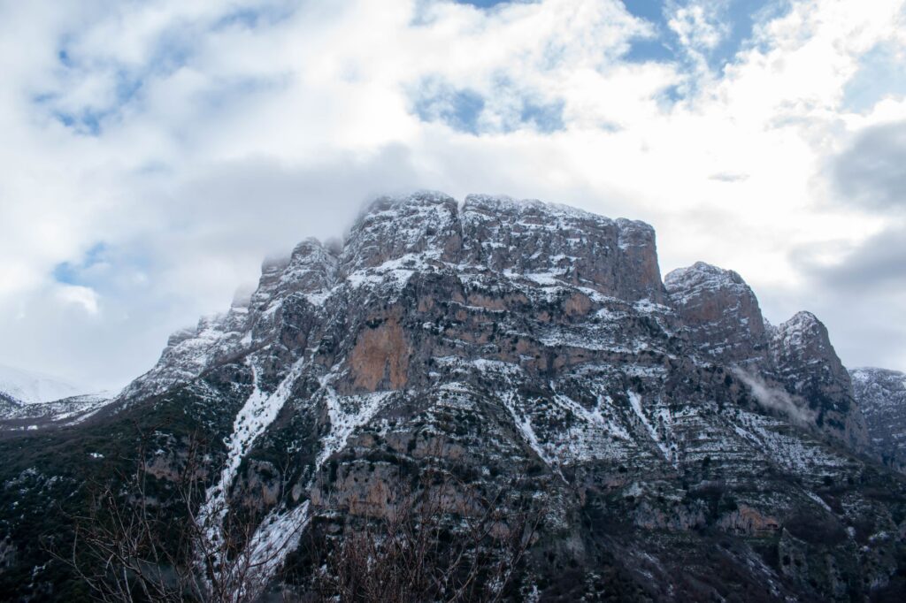
The relief of Zagori is dominated by the imposing presence of the Vikos Canyon, recognized by the Guinness Book of Records as the deepest gorge in the world relative to its width, with vertical walls plunging more than a thousand meters toward the bed of the Voidomatis River. This geological fracture acts simultaneously as an impassable barrier and as a structuring axis for the territory. Local communities did not settle at the bottom of the valleys due to the risk of flooding and the unhealthiness of historical marshlands, but rather on hanging plateaus and protected slopes beneath the peaks of Mount Tymfi.
Connectivity between these settlements required overcoming monumental elevation changes within hours of walking. Local geologists and historians agree that the stability of the clay and karst slopes dictated the layout of the paths. Each village functioned as an autonomous yet interdependent node, where the lack of passable roads during winter months meant absolute vulnerability. This fragility prompted community councils to invest considerable sums of their own resources, often funded by the generosity of the Zagorian mercantile diaspora in Central Europe and Constantinople, to erect safe crossings over seasonal torrents.
The Engineering of Skalades: Cobbled Pathways on the Slope
The skalades are much more than simple mountain trails; they form a network of meandering, meticulously paved tracks made from local stone slabs, designed with a consistent gradient that allowed the safe passage of mule trains laden with heavy goods. Constructing these paths required deep knowledge of mountain soil dynamics. To prevent autumn and winter downpours from washing away the surface, traditional builders integrated complex transverse drainage systems, gutters carved into living rock, and dry-stone retaining walls capable of supporting tons of earth and stone.
An outstanding example of this pedestrian engineering is the famous Vradeto staircase, a monumental layout winding through the rocky cliff face and overcoming an elevation gain of over a thousand meters via eleven hundred carved stone steps. Built in the late 18th century, this pathway was for generations the sole land link between the village of Vradeto and the rest of the plateau. The precision with which the cornerstones were positioned ensures that, despite centuries and the region’s recurring seismic activity, much of this infrastructure remains operational and traversable for contemporary hikers.
Single-Arch Bridges: Geometric Boldness Over the Voidomatis
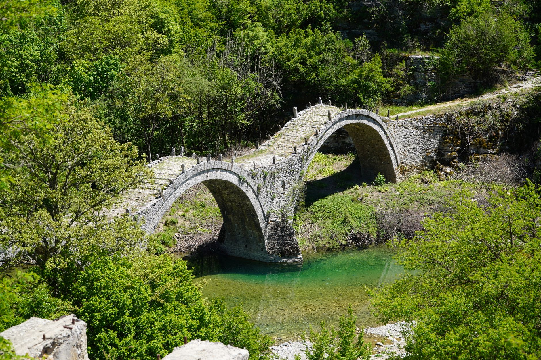
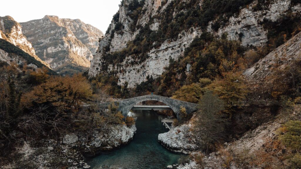
If the skalades represent the horizontal and vertical arteries of the territory, the stone bridges constitute the structural landmarks spanning the river abysses. Built overwhelmingly during the 18th and 19th centuries by itinerant local craftsmen known as mastoroi, these bridges stand out for their slender single arches, designed to withstand sudden spring snowmelt floods without central piers obstructing the water flow.
Stone does not impose itself on the landscape in Zagori; it bends to its physical laws to become the only possible bridge between isolation and community.
The Kokkoris Bridge, situated over the Aetomilitsa River, or the elegant triple-arched Plakidas Bridge are paradigmatic examples of this construction mastery. Master stonemasons used temporary wooden centering and native lime mortar, adjusting the keystone voussoirs with millimetric precision. The pronounced curvature of these bridges, often referred to as donkey-backs, did not respond to aesthetic caprice, but to the need to confer greater compressive strength on the central part of the structure, allowing them to support the constant traffic of livestock and commercial caravans.
Vernacular Architecture: Slate, Timber, and Community Cohesion
The physical connectivity of Zagori is not limited to its paths and bridges; it extends into the very structure of its villages, where civil and religious architecture reflects a seamless synergy with the geological surroundings. Traditional homes, locally known as archontika, are built entirely from local gray and brown stone, without modern cements, using only mud and lime. The roofs are covered with heavy local slate slabs, quarried nearby and laid overlapping to withstand the weight of heavy winter snowfalls.
This material and aesthetic uniformity serves a clear logistical function: building materials were available within a short distance, drastically reducing the need for heavy, long-distance transport. Village squares, called horio, and public stone fountains connected by underground spring networks act as nerve centers where the routes of shepherds and travelers converged, consolidating a staunch community identity based on self-sufficiency and mutual aid.

Decline and Transformation: From Abandonment to Sustainable Tourism
With the arrival of the paved road network in the mid-20th century, which directly connected the main localities of Zagori to the city of Ioannina for the first time, the original function of the skalades and traditional bridges underwent a radical transformation. The ancient caravan routes lost their immediate economic value, and many villages suffered a drastic depopulation process due to migration toward urban centers and abroad, leaving behind an infrastructural heritage at risk of abandonment.
However, in recent decades, this relative isolation has turned into the region’s primary asset. The rise of ecotourism and high-quality hiking has enabled the recovery and maintenance of a large portion of the traditional path network. Local organizations and conservation associations have promoted the clearing and marking of the skalades, transforming a legacy of economic survival into a cultural and active tourism corridor that attracts visitors from around the world without disrupting the fragility of the mountain ecosystem.
Practical guide
Planning a journey through the network of historical paths and bridges in Zagori requires understanding the geographical and climatic particularities of this mountainous region in northern Greece.
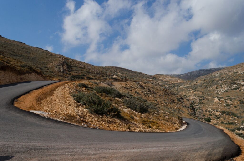
How to get there: The primary gateway to the region is the city of Ioannina, whose national airport connects with Athens and which features regular bus services (KTEL). From Ioannina, the most efficient option to explore the Zagori villages is renting a vehicle, which is essential for accessing more remote hamlets.
Best time to visit: Spring (May to June) offers optimal temperatures, blooming fields, and vigorous river flows. Autumn (September to November) stands out for the chromatic palette of deciduous forests. Winter can temporarily isolate certain areas due to heavy snowfalls.
Trail network: Many paths are thoroughly marked, but it is advisable to acquire a detailed topographic map of the region or use offline GPS applications, as mobile phone coverage can be limited at the bottom of gorges.
Accommodation and gastronomy: Many former stone mansions (archontika) have been restored as boutique hotels and traditional guesthouses. Local gastronomy is based on pasture-raised meats, artisanal goat cheeses, and savory pies (pita) made with thin dough and wild greens.
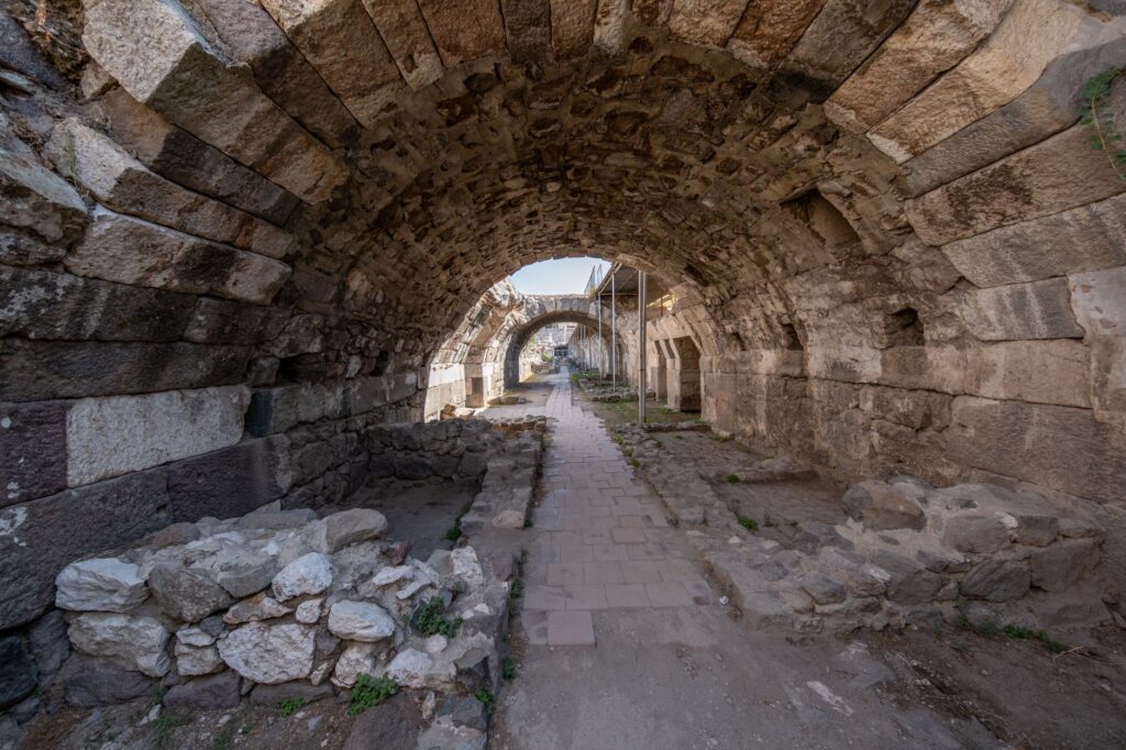
Conservation rules: Throwing garbage on trails, damaging dry-stone masonry, or altering historical bridges is strictly prohibited. Respect for the natural and architectural environment is the sole guarantee for preserving this protected cultural landscape.
Epilogue: The Mineral Pulse Resisting Time
As evening falls over the slate roofs of Monodendri or Dilofo, when the golden sunlight illuminates the towering limestone cliffs and the distant murmur of the Voidomatis River blends with the silence of the Pindos, Zagori reveals its deepest and most silent dimension. It is not merely a catalog of architectural wonders or an alpine postcard destination; it is a geological and human archive where every hand-placed stone speaks of the dignity of those who defied the void.
Walking across the centennial bridges of Zagori is understanding that true infrastructure is not that which shortens distances with industrial speed, but that which weaves a lasting bond between the fragility of human life and the eternity of rock.
Those men who raised impossible arches over untamed torrents and carved paths into the verticality of the rock left an invisible map that survives the passage of eras. Today, traversing these paths is not a nostalgic exercise, but a way to tune into the mineral pulse of a land that, protected by its own isolation, teaches that true connectivity lies in deep respect for the inhabited territory.