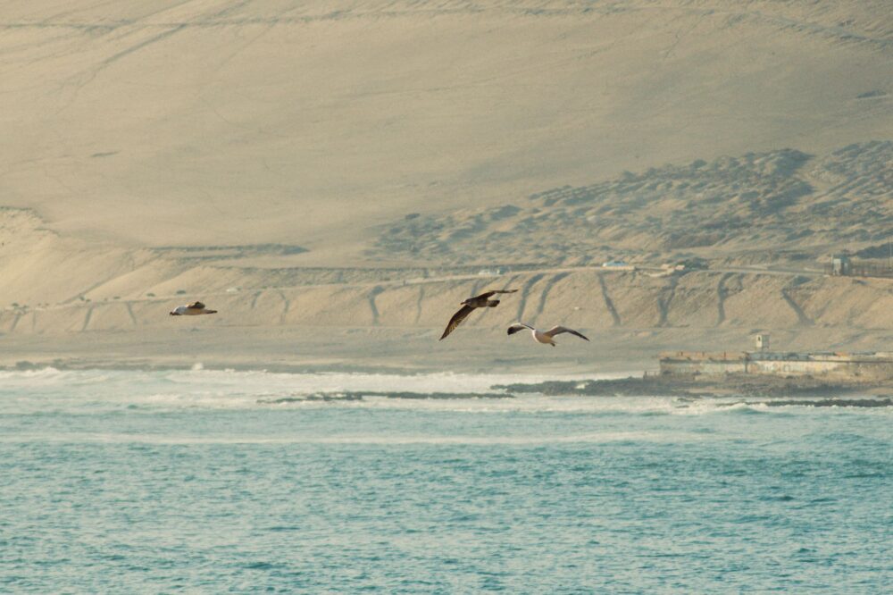
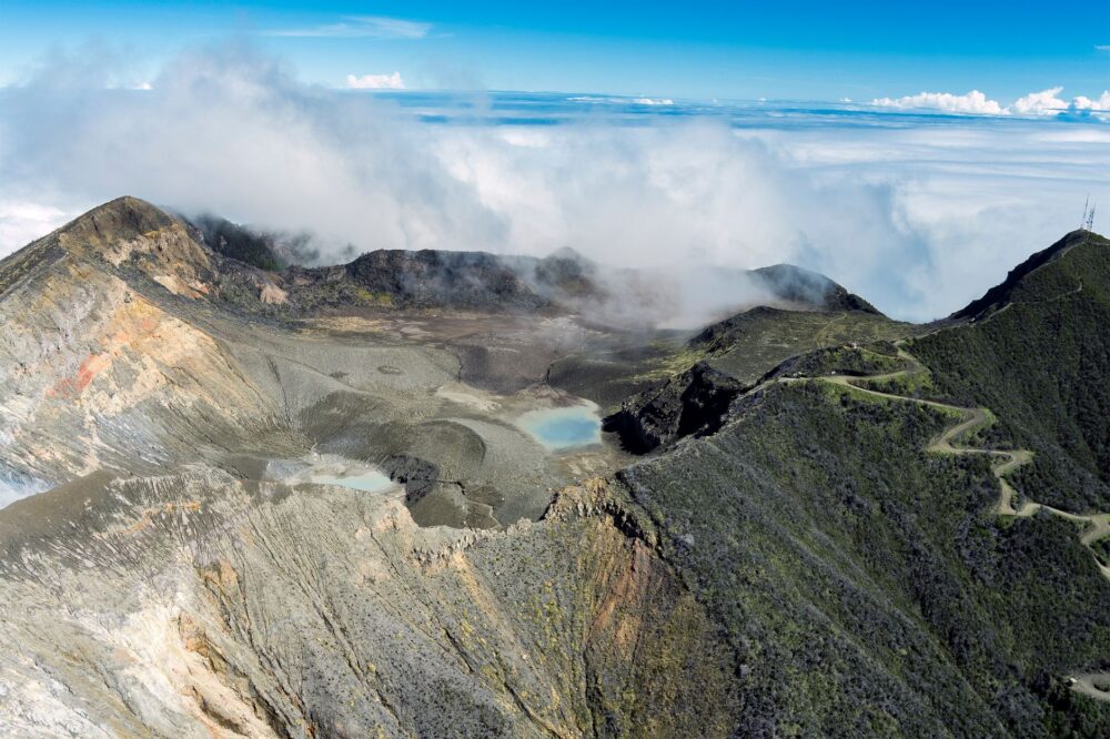
Navigating the Andean Pulse in Southern Colombia
In the department of Cauca, the geography establishes a constant dialogue between the Andean peaks and the water descending toward the lowlands. Popayán, situated at an altitude of 1760 meters, is not a traditional maritime port, but its relationship with hydrographic basins sets the pulse of amphibious adventure in the region. The currents of the surrounding rivers demand a deep understanding of local hydrology, where each seasonal flood modifies riverbeds and forces travelers to exercise extreme caution before embarking on any aquatic expedition.
Planning a river journey in this territory requires understanding that the tropical mountain climate brooks no compromise. Rainfall can alter river flow within hours, turning a gentle stream into an uncontrollable torrent. For this reason, local communities and navigation experts insist on the necessity of checking meteorological bulletins before planning any water route.
To comprehend the magnitude of these dynamics, it is fundamental to analyze how water sculpts the inter-Andean valleys. Minor riverbeds converge into broader fluvial networks that flow into the country’s major arteries. This network not only feeds biodiversity but also articulates the traditional movements that inhabitants have historically employed to navigate the complex topography of southern Colombia.
Furthermore, the morphology of these elevated basins implies that water velocities can change drastically over short distances. Explorers must remain vigilant to acoustic cues, such as the distant rumble of rising water levels, which often serve as the first warning sign of an impending surge upstream.
Climate and Basin Dynamics
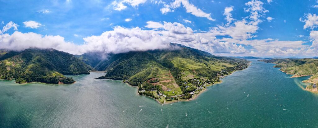
The rainfall regime in southern Colombia responds to complex atmospheric patterns that vary according to altitude. In the high areas near Popayán, mornings usually offer clear skies that give way to high-intensity afternoon storms. This daily cycle directly impacts the tributaries feeding the large river basins in the west and south of the country. Understanding the behavior of these currents is the sole guarantee for avoiding risky situations during water sports or traditional river transport.
Beyond water force, ambient temperature and humidity play a decisive role in the physical fatigue of navigators. Extended journeys under the equatorial sun demand constant hydration and appropriate clothing that protects against both radiation and sudden downpours. Meteorological preparation is not bureaucratic red tape, but an essential survival tool for any expeditionary.
Thermal variations between day and night in the surrounding valleys generate morning fog banks that drastically reduce visibility in river channels. Navigators must exercise extreme caution during these critical hours, relying on the reading of the environment and the experience accumulated by local settlers who know every bend, sandbar, and secondary current.
Microclimatic shifts also influence the behavior of local fauna, which often seeks shelter during rapid atmospheric pressure drops. Recognizing these biological indicators provides an additional layer of preparedness for those navigating remote river segments.
Water Safety and Navigation Protocols
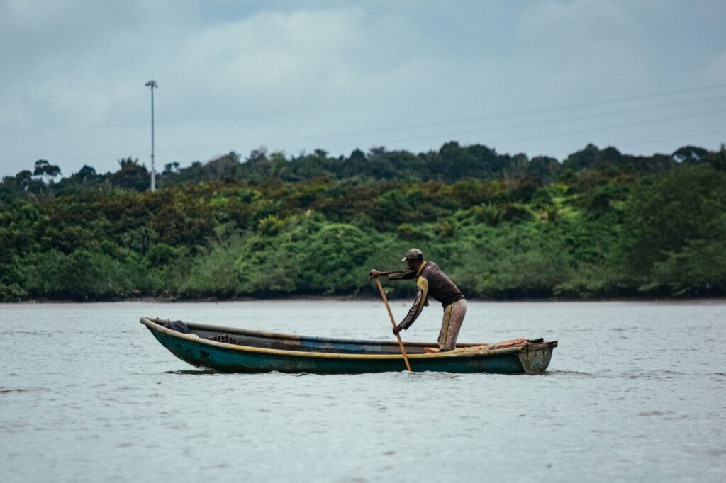
Facing the waters of Cauca requires absolute respect for nautical safety regulations. The use of certified life jackets, exhaustive checks of wooden or fiberglass boats, and the accompaniment of local river guides are non-negotiable requirements. Cross-currents and hidden whirlpools beneath the surface represent invisible dangers that only local boatmen know how to identify in time.
Safety on the water does not depend on the audacity of the traveler, but on their ability to read the signals that nature offers at every river bend.
Likewise, local authorities recommend registering planned itineraries with port authorities or regional tourism offices before starting any long journey. This measure facilitates coordination efforts in case an emergency occurs in hard-to-access areas, where telecommunication signals are usually limited or nonexistent.
Preventive maintenance of flotation equipment and knowledge of basic rapid-water rescue protocols form part of the minimum training that every adventurer must possess before entering the region’s tributaries. Prevention is the best shield against the unpredictability of the natural environment.
Communication protocols among expedition members should be established beforehand, utilizing standardized visual or acoustic signals when engine noise or rushing water drowns out verbal commands.

Amphibian Culture and Riparian Traditions
The relationship between the inhabitants of Cauca and their rivers goes far beyond mere subsistence or transport; it constitutes a rich amphibian culture passed down from generation to generation. Riparian communities have developed boats specifically adapted to the morphology of Andean riverbeds and artisanal fishing techniques that respect the biological cycles of native species.
This living cultural heritage manifests in local festivities, boatmen songs, and a gastronomy based on the fruits of the river network. Getting to know these traditions brings a human and anthropological dimension to the trip, allowing visitors to understand that the river is, above all, a social space that deserves to be honored and preserved.
The collective memory of riparian communities holds stories about major floods and prolonged droughts, accounts that serve as practical manuals for climate adaptation. Listening to these narratives from the elders enriches the traveler’s perspective and fosters a respectful exchange with the communities that guard the territory.
Architectural adaptations in riverside settlements, such as elevated structures and strategic placement relative to historical flood lines, further demonstrate the deep empirical knowledge embedded in local culture.

Aquatic Ecosystem Protection
The ecological balance of the basins descending from the surroundings of Popayán faces growing environmental pressure. Deforestation in municipal headwaters, pollution from wastewater discharge, and indiscriminate fishing threaten the biodiversity of these aquatic ecosystems. Protecting the natural environment is a shared responsibility among institutions, tour operators, and travelers.
Good environmental low-impact practices, such as proper solid waste management during expeditions and rejecting single-use plastics, are fundamental to preserving the purity of water sources. Every visitor traveling through these landscapes holds the moral obligation to leave behind the minimal possible trace of their passage.
Environmental education programs promoted by local groups seek to raise awareness about the importance of keeping river corridors free of contaminating agents, ensuring that future generations can continue enjoying the natural and hydrological wealth of the department.
Monitoring water quality through biological indicators, such as the presence of sensitive macroinvertebrates, offers a practical way for communities to gauge the health of their aquatic habitats over time.

Practical guide
- Getting there: Popayán features the Guillermo León Valencia Airport (IATA: PPN), connecting with major Colombian cities. By road, the Pan-American Highway links the city with Cali and Pasto.
- Best time to visit: Months with lower rainfall are usually recorded between July and August, although the Andean climate is unpredictable and requires waterproof gear year-round.
- Permits and registration: Certain protected river areas require prior environmental authorizations managed through regional autonomous corporations.
- Recommended gear: Quick-drying footwear, dry bags for electronic equipment, sun-protection clothing, and a first-aid kit.
- Health and safety: Travelers are advised to secure travel medical insurance covering adventure activities and to consult official security guidelines before traveling through rural zones.
Visual Reflection and Respect for the Territory
The end of any expedition through the water routes of Cauca invites introspection. Contemplating the sunset over the Andean valleys, the immensity of the landscape recalls the fragility of the natural balance sustaining life in this Colombian region. Deep respect for currents, climate, and local communities remains the only valid passport for those seeking to understand the true essence of this territory.
Capturing the beauty of these landscapes through photography or silent contemplation requires a respectful attitude that avoids disturbing local fauna and keeps the tranquility of the riverbanks intact. The amphibious adventure experience is completed when the traveler assumes their role as a temporary custodian of an invaluable natural heritage.