
Boston is not understood from a viewpoint. It is understood on foot. The capital of Massachusetts, in the northeastern United States, occupies a peninsula that for centuries was closer to the water than to the mainland, and that island-like condition still shapes the way it lives: streets that curve, a center best explored on foot and a harbor that, even if it now looks decorative, remains the argument that organizes everything else.
For the visitor, the temptation is to reduce the city to a handful of brick facades and a revolutionary past sold in brochures. The proposal is different: to look at how that heritage coexists with the daily life of those who inhabit it, and to decide what to visit and what to leave out with judgment.
A peninsula that learned to grow over water
Boston’s original relief was narrower than it is today. During the 18th and 19th centuries, marshes and coves were filled in to gain ground, so much of today’s financial district and the Back Bay neighborhood sits on land that was once water. That history explains why the city has such a physical relationship with the tide and why its old maps look so different from current ones.
The result is a geography of layers: a compact colonial core, a Victorian extension of straight streets and a port coastline that has been transformed into a promenade. Walking Boston is, in a sense, walking over civil engineering decisions that changed the outline of the peninsula.
The city did not grow outward: it won itself back from the water, and that memory is still visible in the shape of its streets.
The harbor as a gateway and as a question
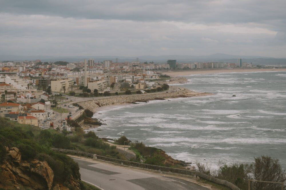
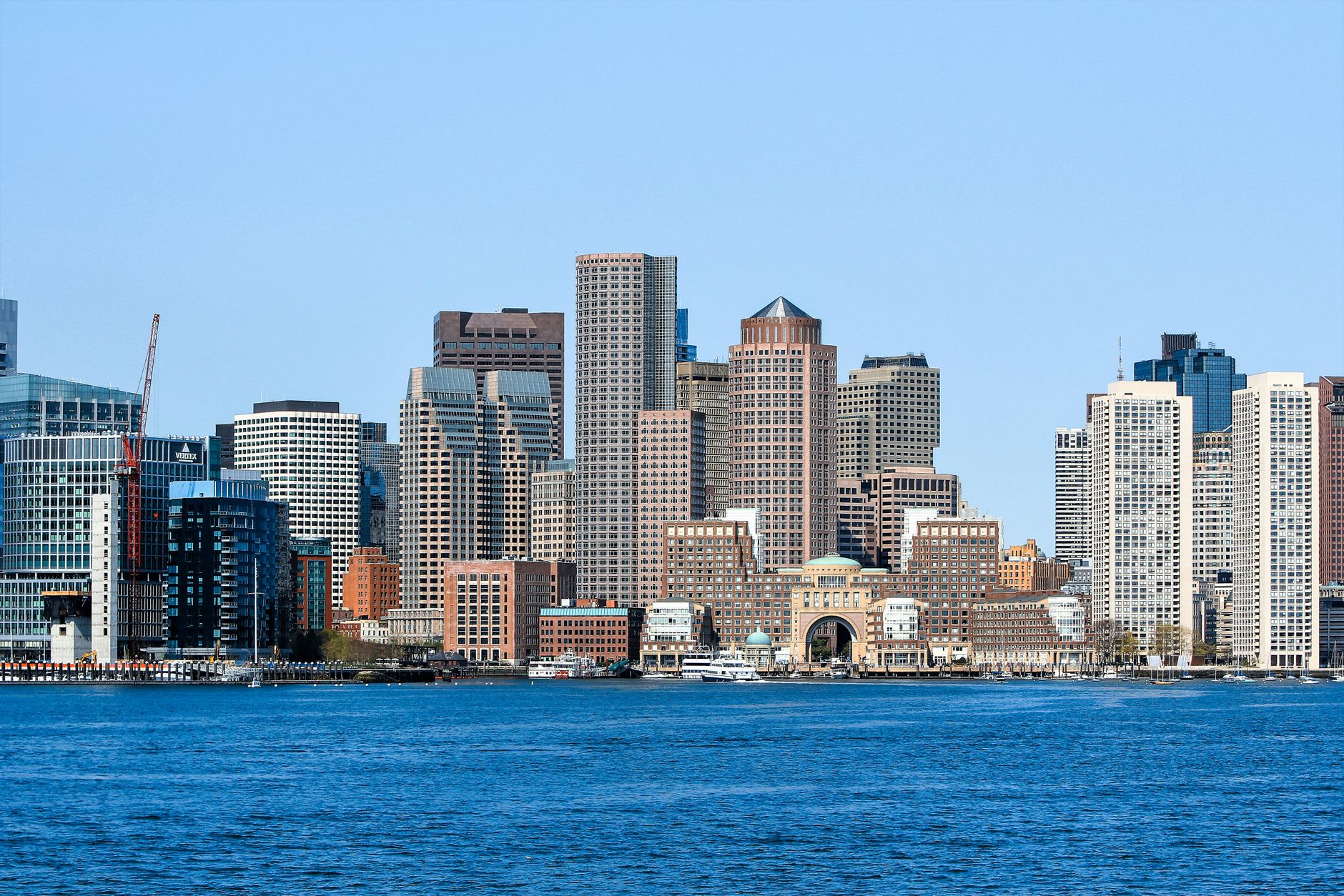
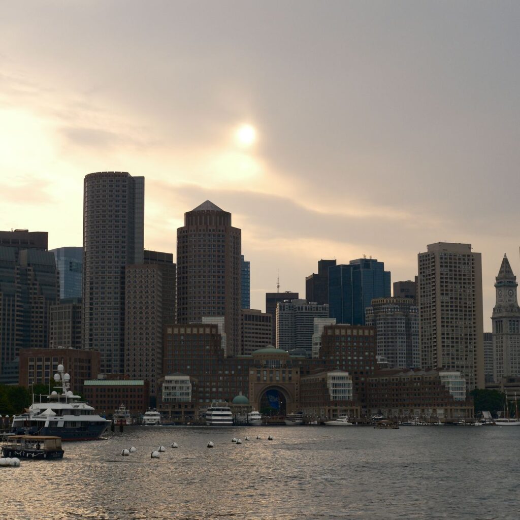
Boston’s harbor was for generations the first contact thousands of migrants had with the United States. Today the coastline combines active docks, reconverted port areas and public spaces facing the water. That mix raises a useful question for the visitor: which part of the harbor is landscape and which part is still working infrastructure?

Walking the port area allows you to see both sides. Historic piers coexist with terminals and office buildings, and the waterfront promenade has become a place of daily use for running, fishing or simply sitting. It is not a stage set: it is a space contested between leisure and economic activity.
The historic center, read without haste
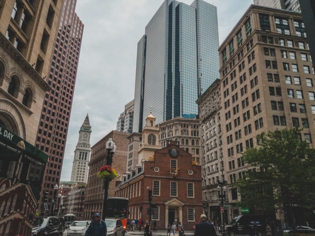
The so-called Freedom Trail, a signposted route linking buildings and spaces tied to American independence, is the best-known itinerary. Its value lies not in completing it like a race, but in stopping at the points that genuinely interest each visitor. The route crosses squares, churches, cemeteries and markets, and allows an understanding of how the national narrative was built over a small territory.
It is worth separating historical interest from urban interest. Some buildings are relevant for what happened in them; others are relevant for how they fit into neighborhood life. Choosing three or four stops and leaving the rest for a second visit usually yields better results than trying to cover everything in one morning.
Beacon Hill and the art of looking at facades
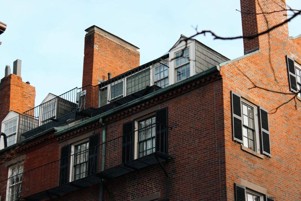
Beacon Hill preserves a set of brick houses and cobbled streets that has become one of the most reproduced images of the city. It is a residential neighborhood, and that implies a basic rule of coexistence: visit with respect, without invading doorways or photographing those who live there.
The interest lies in the details: the windows, the door knockers, the cobblestone sidewalks and the small squares. It is a place to walk slowly and to understand that urban heritage is also a daily way of life defended by rules.
Back Bay, the city that was planned
West of the center, Back Bay offers the perfect contrast to the irregular layout of the old town. Its straight streets, rows of terraced houses and tree-lined avenues respond to a 19th-century urban plan built on land reclaimed from the water. It is the most Victorian Boston and also the most photogenic in spring and autumn.
For the visitor, this neighborhood is useful for understanding how the city solved growth: with planning, with landfill and with an architecture that is now recognizable worldwide.
Eating in Boston without falling into cliché
Local gastronomy is often associated with seafood, and it is true that the harbor has shaped the pantry. But the city has a scene of markets and neighborhoods where everyday cooking reflects the diversity of its inhabitants. Municipal markets and small neighborhood shops are good places to understand what is actually eaten, beyond the dishes repeated in guides.
A practical recommendation: choose a market and eat there, without looking for the famous restaurant. It is cheaper, more honest and allows you to talk with the person serving, who is usually the best source of information about the neighborhood.
Parks and water: the city’s lung
The park system designed in the 19th century, known as the Emerald Necklace, connects several green spaces across the city. The best known is Boston Common, but the whole offers a more interesting reading: the idea that public green space should run through the city like a necklace rather than stay in a single spot.
Walking these parks in any season reveals how inhabitants use public space: sport, strolling, reading, conversation. It is one of the simplest ways to understand local life without entering a single museum.
A neighborhood for every question
Boston does not have a single center. It has several, and each answers a different question. The North End, with its Italian tradition, speaks of migration and community. The South End, of urban transformation. Roxbury and Dorchester, of a more complex history that often falls outside tourist narratives.
For the responsible visitor, the key is not to treat neighborhoods as stage sets. They are places where people live, and the best way to know them is to spend money in their shops, walk their streets and accept that not everything is designed to be visited.
Practical guide
When to go: spring and autumn usually offer pleasant temperatures for walking. Winter is cold and windy, and planning with margin is advisable. Summer concentrates more visitors in the historic center.
Getting around: the center and nearby neighborhoods are easily explored on foot. Public transport connects the more distant areas and is useful for reaching the airport. Walking remains the best way to understand the scale of the peninsula.
What to avoid: trying to see everything in one day. Boston rewards calm. It is also worth informing yourself before visiting residential neighborhoods and respecting coexistence rules.
Budget: prices vary by season and neighborhood. Eating in markets and neighborhood spots is usually cheaper than in the most touristy areas.
- Wear comfortable shoes: cobblestone sidewalks and slopes appreciate it.
- Check the opening hours of the spaces you want to visit, as they may change with the season.
- Book in advance if traveling during high-demand dates.
A city remembered on foot
In the end, what remains of Boston is not a list of monuments. It is the feeling of having walked through a city built over water, which changed shape several times and still argues about what to do with its harbor. The visitor who accepts that rhythm, who stops in a square or a market, better understands why the city is explained from the ground and not from the postcard.