
The Geopolitics of Living Waters and Submerged Gorges
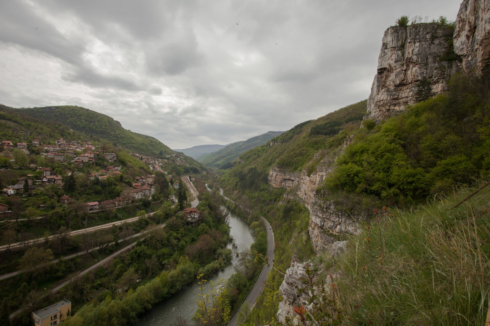
The Danube is not merely a watercourse winding through the heart of Europe; it is one of the continent’s most complex communication routes, where transport engineering constantly contends with capricious river geography. Along the border separating Serbia and Romania, the river constricts dramatically at the Iron Gates gorge, an ancient canyon carved into limestone that for centuries stood as an impassable wall for cargo and passenger navigation. Today, this stretch serves as a vital yet fragile logistics corridor where push-tows and river freighters must contend with treacherous currents, unexpected shallows, and strict international regulations.
The history of transportation in this region is defined by the relentless search for technical solutions to tame the current. Before the construction of the Djerdap I and Djerdap II hydroelectric complexes in the latter half of the twentieth century, vessels relied on narrow side channels and human or animal traction to navigate the Sip rapids. With the artificial elevation of the water level, the rapids were submerged, but the new setting introduced distinct operational challenges, such as sediment accumulation and the need to manage giant locks overcoming a drop of over thirty meters.
The Titanic Architecture of the Djerdap Locks
Navigating the Iron Gates aboard a river convoy demands millimeter precision and profound knowledge of hydraulic engineering. The locks of the Djerdap I complex are true monuments of twentieth-century civil engineering, designed to raise or lower large vessels in record time. These massive gates operate day and night, managing the continuous transit of barges originating from the Black Sea bound for Central European industrial ports such as Vienna, Bratislava, or Budapest.
The locking process is an exercise in patience and synchronization. Captains must coordinate with dam operators via specialized radiofrequency systems, calculating the exact draft of their vessels according to the hydrological season. During summer months, when river discharge drops sharply, error margins shrink to centimeters. A miscalculation in ballast can leave an entire convoy grounded, blocking an artery carrying millions of tons of grain, iron ore, and chemicals each year.
Modern river navigation on the lower Danube is a delicate balance between the brute force of hydraulic technology and the unpredictable fragility of a river ecosystem subjected to intense commercial pressure.
Ribance Captains and the Invisible Craft of Piloting
Behind every ton of cargo successfully traversing the gorge lies the specialized work of river pilots and local captains. Unlike open maritime navigation, the Danube demands an almost intuitive mental cartography of the riverbed. Sandbars shift with spring floods, and the submerged remains of ancient military structures or Roman bridges add a constant risk factor that modern echo-sounders complement but do not replace.
These professionals operate in wheelhouses crowded with radar screens, differential positioning systems, and digital nautical charts, yet their greatest asset remains experience accumulated over decades of navigation. They know every eddy generated by the concrete buttresses of the dam and can read water color to anticipate shifts in current speed. Their work ensures that river transport maintains its competitiveness against rail and road, offering a low-energy logistics alternative with exceptionally high human demands.
Intermodal Infrastructure and Transfer Ports
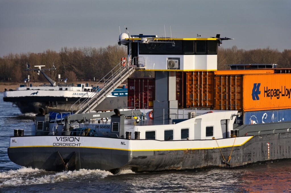
The Iron Gates corridor does not function in isolation; it forms the core of an intermodal network connecting river transport with Balkan railway lines and roadways. Ports such as Drobeta-Turnu Severin on the Romanian bank and Kladovo on the Serbian side act as logistical nodes where heavy cargo shifts transport modes, integrating Danubian barges with trans-European freight corridors.
However, the modernization of these ports proceeds at an uneven pace. While some terminals have incorporated high-capacity cranes and automated container handling systems, others rely on outdated infrastructure that slows transfer times. This technical disparity creates seasonal bottlenecks, particularly during agricultural harvests, when demand for river transport surges and tests the resilience of the entire regional logistics system.
Environmental Impact and the Transformation of the Riparian Landscape
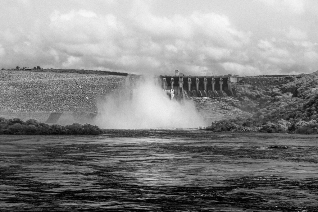
The anthropogenic transformation of the Iron Gates has incurred an incalculable ecological cost. The construction of the massive dams flooded entire valleys, submerged historic villages, and irreversibly altered migratory routes for emblematic fish species such as the beluga sturgeon. Today, transport management along this river stretch must coexist with increasingly stringent environmental regulations aimed at mitigating commercial navigation’s impact on protected natural parks flanking both sides of the river.
Port authorities and shipping companies face the challenge of reducing carbon emissions through fleet renewal, replacing aging diesel engines with hybrid propulsion or shore-side power systems (cold-ironing). Furthermore, strict discharge controls and solid waste management onboard are paramount to prevent pollution in a waterway supplying drinking water to millions. The future of the route depends on its ability to reconcile economic efficiency with the ecological restoration of the corridor.
River Tourism and the Contemplation of Submerged Heritage
Alongside freight transport, the Iron Gates have experienced a remarkable resurgence as a destination for passenger river cruises. Travelers journeying down the Danube discover one of Europe’s most breathtaking landscapes in this gorge, where vertical cliffs merge with high-value archaeological vestiges, such as the famous Tabula Traiana carved into live rock to commemorate the Roman emperor’s campaigns against the Dacians.
This dual purpose of the river—commercial and touristic—generates significant operational tensions at locks and narrow channels. Gigantic river liners must share space and transit time with heavy cargo convoys, forcing traffic controllers to establish strict priorities. For the traveler, observing the approach maneuver to a lock from the upper deck offers a fascinating perspective of applied engineering, revealing the monumental scale of human effort required to tame the watercourse.
The survival of this transport corridor demonstrates that the development of Central and Eastern Europe remains inextricably linked to the health and accessibility of its major waterways.
Practical guide
How to get there: Access to the Iron Gates region is primarily by road from Belgrade or Bucharest. The Serbian town of Kladovo and the Romanian town of Drobeta-Turnu Severin serve as the best base camps for observing river traffic and visiting hydroelectric complexes.
When to travel: Spring months (April to June) and early autumn (September to October) offer optimal weather conditions and stable flow levels for navigation and tourism.

Observation tips: The best viewpoints to observe cargo convoy transits and lock scales are located along the scenic highway running parallel to the gorge on the Serbian bank, especially near Donji Milanovac.
Transit requirements: For travelers interested in international Danubian river cruises, verifying the validity of travel documentation is essential, as vessels cross multiple external borders of the European Union during their voyage.
The Silence After the Lock and the Calm of the Lower Danube
When a river freighter finally clears the last gate of the Djerdap locks and enters the wide, tranquil course of the Lower Danube toward the Black Sea, the atmosphere onboard shifts radically. The mechanical stress of engines fighting the current and the tension of millimeter maneuvers in the gorge give way to a measured, almost contemplative rhythm. From the deck, the horizon opens into infinite plains where the water seems to stand still, recalling that the true nature of the river is silent persistence. In that final stretch, monumental engineering fades from memory, leaving the traveler solely with the certainty of having traversed one of the most formidable and demanding arteries on the European continent.