
Introduction to the Coral Labyrinth of Guna Yala
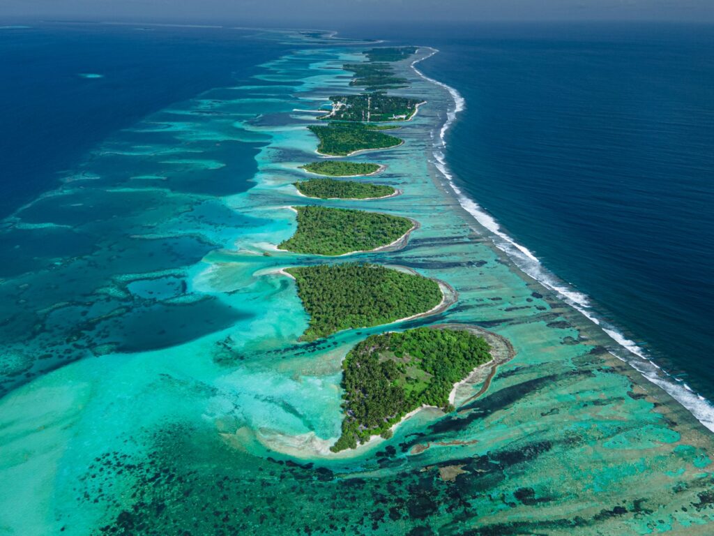
The indigenous territory of Guna Yala, located along the eastern Caribbean coast of Panama, represents one of the most complex and fragile island networks in the American continent. Comprising over 365 coral cays scattered before a dense fringe of virgin rainforest, this archipelago has been shaped over centuries by the symbiotic relationship between the Guna people and marine dynamics. Understanding navigation in these waters requires transcending mere landscape contemplation to delve into the principles of local oceanography, where northeast trade winds and surface currents dictate the rules of movement between islands.
Unlike conventional tourist routes operated by high-speed motorboats, exploration via traditional adapted Polynesian outriggers introduces a low-impact dimension that respects delicate benthic ecosystems. This report examines the essential nautical logistics required to plan an autonomous and respectful crossing, breaking down the technical requirements of the watercraft, the cartography of shallow reefs, and community protocols for overnight stays in the autonomous comarcas.
Dynamic Geography of the Archipelago and its Channels
The geomorphological configuration of San Blas is characterized by an outer barrier reef that dampens the onslaught of the open sea, creating interior channels of relatively calm waters plagued by coral mazes. The tide in this section of the Caribbean features a reduced amplitude, generally under forty centimeters; however, the combination of seasonal winds and river discharges from the San Blas mountain range generates unpredictable cross-currents in narrow passages between cays.
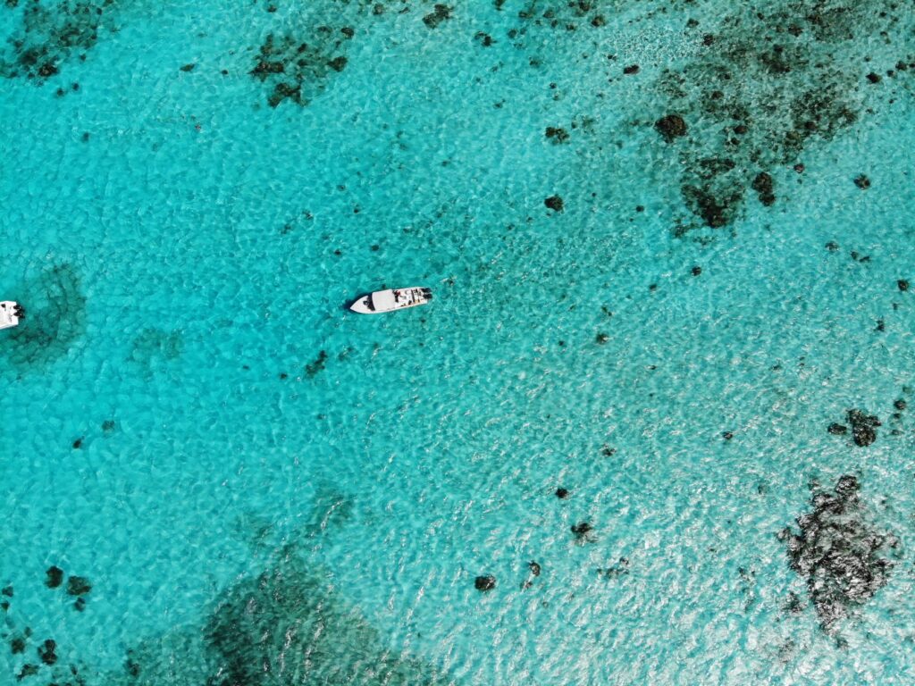
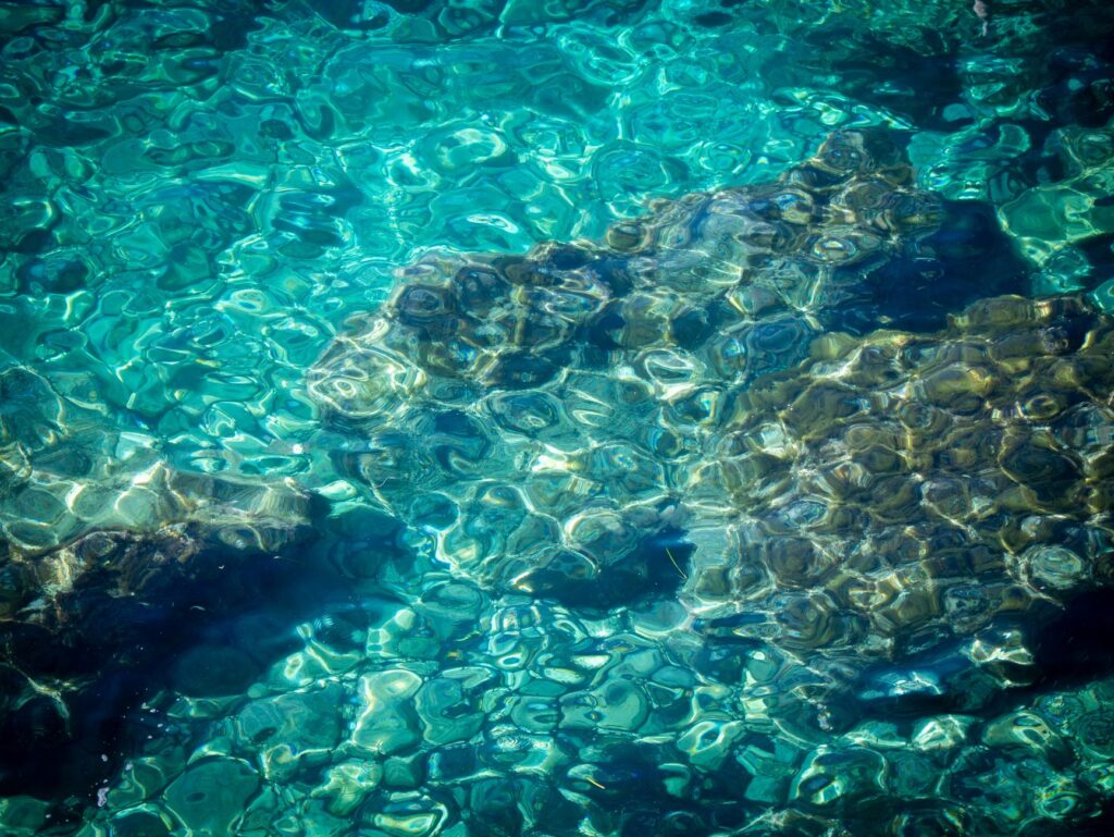
For navigators operating under human power or light sail, understanding shallow shoals is a matter of material survival for the hulls. Fringing reefs and patch reef formations demand constant reading of water colors: intense turquoise hues denote safe depth over white sand, while brown and ochre shades warn of the imminent presence of coral heads just below the surface.
The Influence of Trade Winds on the Navigation Window
The months between December and April are dominated by strong trade winds, which can reach sustained speeds exceeding twenty-five knots. This climatic condition generates short, choppy seas in open water, complicating progression in light watercraft and forcing expeditionary teams to seek refuge behind insular barriers before midday.
Conversely, the transition period toward the rainy season, from May to November, is characterized by prolonged calms interrupted by continental afternoon thunderstorms. Planning a crossing during these dates requires precise meteorological reading and the ability to anticipate sudden squalls that reduce nautical visibility to mere meters.
Naval Architecture and Adaptation of Traditional Dugouts
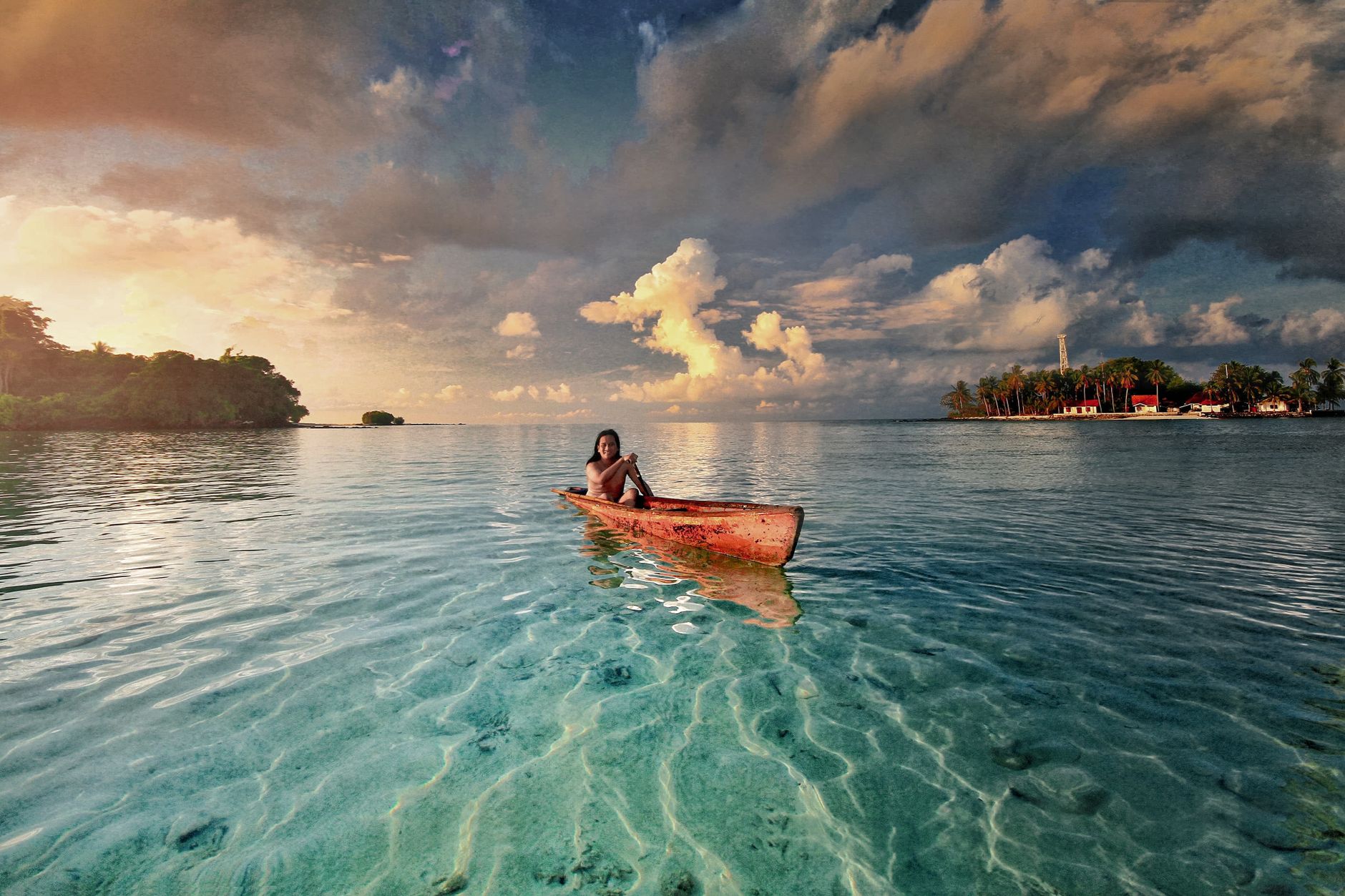
The quintessential watercraft in Guna Yala is the dugout canoe carved from a single tree trunk, locally known as an ulu. However, for long-distance crossings carrying camping equipment, provisions, and navigation systems, communities have evolved toward hybrid configurations incorporating lateral outriggers or designs inspired by the double-hulled Polynesian canoe, optimizing transverse stability.
The use of modern composite materials combined with native hardwoods reduces total hull weight without compromising structural resistance against impacts with living coral formations. Each watercraft must feature watertight buoyancy compartments and rapid-lashing systems to secure cargo against potential capsizes in bar breaks.
Propulsion Systems and Low-Impact Rigging
Although muscle power via paddles is essential for maneuvering in narrow channels and shallow reef zones, the use of small-scale lateen sails allows crews to harness crosswinds during stretches between distant cays. The crew must master specific tacking techniques in confined spaces, where the margin of error against living coral formations is minimal.
The sea of Guna Yala yields to no hurry; it demands the measured rhythm of the paddle and the humility of one who recognizes that every reef is a living organism deserving of our undisturbed passage.
Daily maintenance of moving parts, hardwood rudders, and textile stays forms part of the mandatory sunset routine, ensuring the fleet maintains operational integrity during weeks of exposure to salt spray and equatorial solar radiation.
Community Logistics and Permits in Autonomous Territory
Guna Yala is not a destination for unrestricted tourist access; it is a comarca with an autonomous political and administrative regime managed by the General Guna Congress. Any long-range nautical expedition must process authorizations months in advance through local authorities and comarca offices in Panama City.
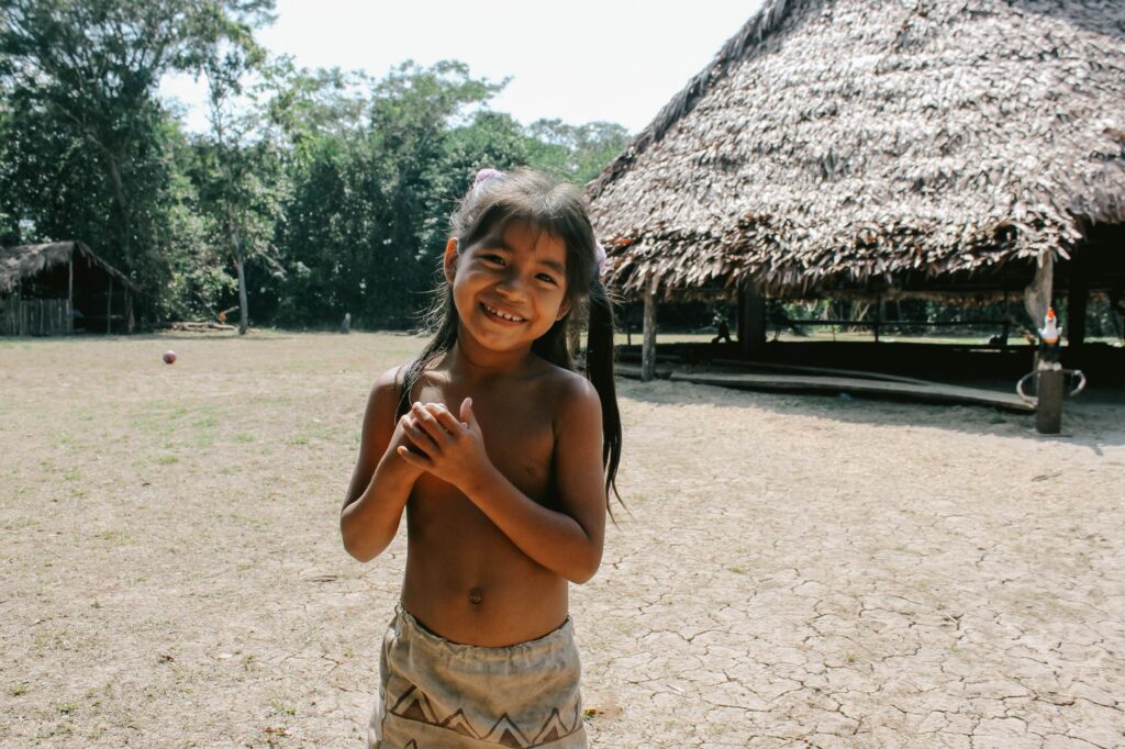
Relations with the authorities of each insular community are governed by strict protocols of courtesy and respect for traditional law, known as the Nagued Dummad. Upon arrival at any inhabited cay, teams must present themselves before the Saila—the supreme traditional authority—to explain the expedition’s purpose, register team members, and pay the community fees corresponding to overnight stays and local resource usage.
Freshwater Procurement and Food Security
One of the greatest logistical challenges in the archipelago is the chronic scarcity of fresh water on coral cays. Most islands depend on rainwater harvesting or intermittent supplies transported from the mainland aboard community barges.
Self-sufficient expeditions must carry high-capacity filtration and purification systems, in addition to establishing prior agreements with local families to acquire fresh provisions such as green plantains, coconuts, reef fish, and seafood harvested via low-impact artisanal methods.
Nautical Cartography and Ancestral Wayfinding
Despite the availability of global satellite positioning systems, official navigation charts for the San Blas archipelago present frequent inaccuracies due to the constant growth of coral formations and shifting sedimentation driven by tides. Therefore, safe navigation fundamentally depends on combining modern technology with the empirical knowledge of Guna navigators.
Local fishermen read ocean currents by observing seabird behavior, foam lines over shallows, and subtle thermal variations in the water. Integrating these observations into the daily navigation log prevents accidental groundings and protects fragile benthic ecosystems from irreversible damage.
Emergency Protocols and Rescue in Remote Areas
The distance to comprehensive medical facilities on the mainland forces expeditions to maintain strict risk-prevention protocols. VHF radio communications and satellite messaging devices are mandatory in every outrigger, establishing daily contact points with continental logistics bases.
Medical kits must include specific treatments for injuries caused by contact with fire coral, sea urchins, and reef fish toxins, alongside immobilization splints and rapid evacuation systems toward insular airstrips in case of major emergencies.
Practical guide
How to get there: The main access to the comarca is via four-wheel-drive vehicles from Panama City, crossing the San Blas mountain range to the river port of Cartí (approximately a three-hour drive along winding mountain roads). Nautical transfers are coordinated from there.
Best time to visit: January through March for stable winds and lower probability of rain, though requiring advanced experience in choppy sea navigation. April through June offers calmer waters but less predictable weather.

Mandatory permits: Formal authorization from the General Guna Congress, payment of comarca entry fees, and passport registration at relevant comarca offices prior to route initiation.
Recommended equipment: Polynesian outrigger or stabilized canoe, gravity-fed water filtration systems, satellite communication devices, local topographic maps, and broad-spectrum, reef-safe sunscreen.
The Silent Pulse of the Guna Yala Sea
At dusk, when trade winds subside and the Caribbean surface transforms into a dark mirror reflecting the celestial vault, the archipelago recovers its primordial cadence. The outriggers rest secured on the coral sand, rocked gently by the final breath of the tide, while in community huts the measured murmur of stories passed down through generations echoes.
Navigating this insular labyrinth is neither a simple sporting feat nor a tourist evasion exercise, but rather an act of profound immersion in a culture that has successfully preserved its sovereignty and natural environment against the pressures of the modern world. Every mile covered under paddle or sail reaffirms the validity of an ancient pact between humankind and the sea, reminding us that true exploration lies in learning to traverse territories leaving no footprint other than an ephemeral wake upon the water’s surface.