
Introduction to the Great Hydrological Crossroads of the Guiana Shield
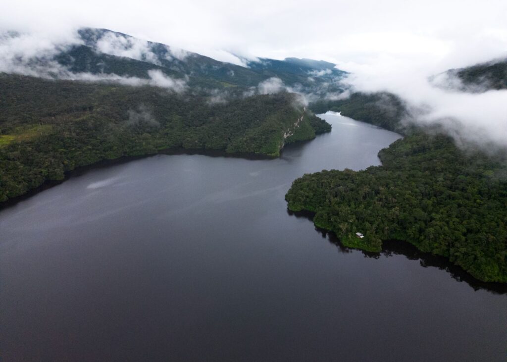
The vastness of northwestern Amazonia conceals a geographical sanctuary where the Earth seems to dissolve into an infinite mirror of water and sky. In this remote corner where Colombia touches the borders of Venezuela and Brazil, the fluvial landscape defies conventional maps, presenting instead an intricate network of dark and clear rivers known as the Fluvial Star of Inírida. Planning a nautical expedition in this region is not a standard tourism exercise, but a profound immersion into one of the most pristine and challenging ecosystems on the planet, where the traditional dugout canoe carved from abareco wood remains the only vessel capable of defying the fury of ancestral rapids.
Venturing into the waters of Guainía requires understanding that the Amazon rainforest is not a static backdrop, but a living organism dictating the rhythm of navigation with sudden floods, monumental electrical storms, and a cultural dynamic built on absolute respect for the wise elders of the Puinave, Curripaco, and Piapoco peoples. This report details the technical, logistical, and human aspects necessary to undertake a long-distance river journey through the creeks, rivers, and lagoons of this remote territory, offering a rigorous perspective on navigation along the green frontier.
Geography and Fluvial Dynamics of Black and White Waters
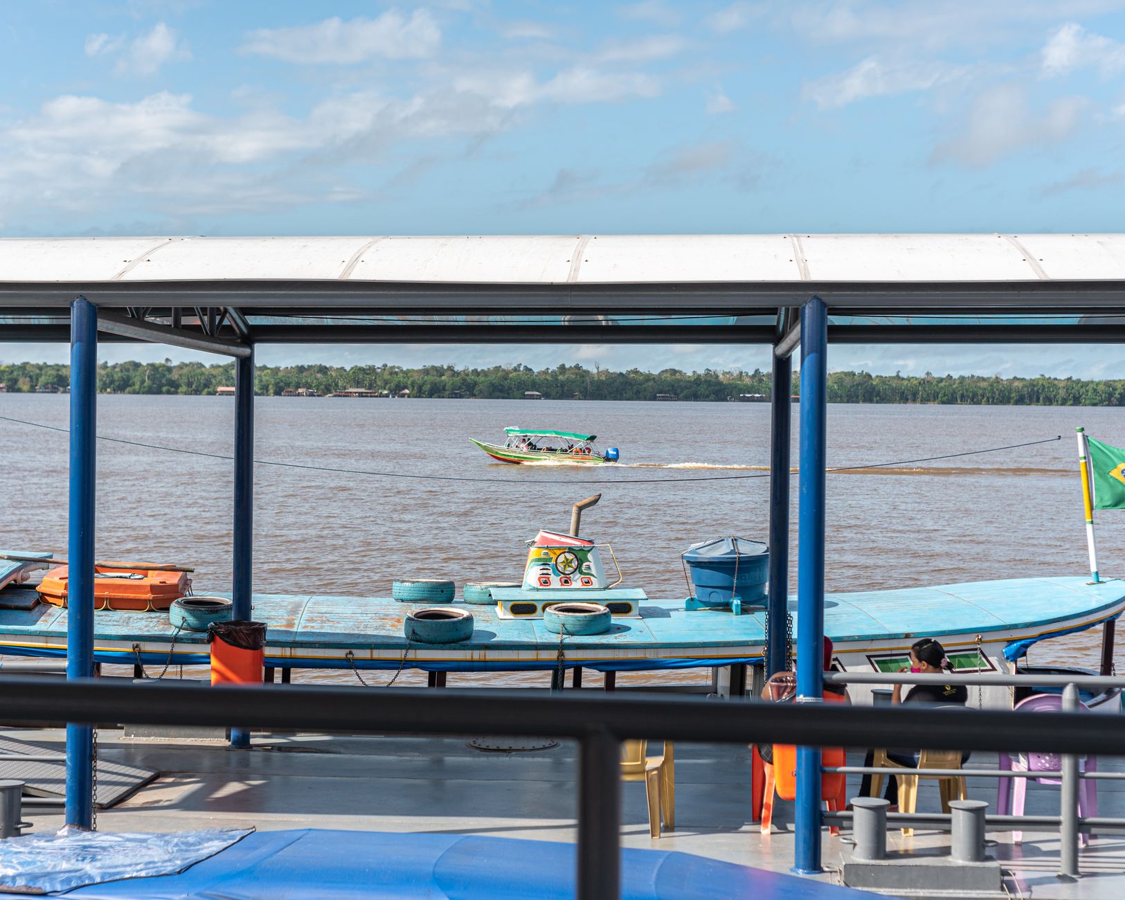
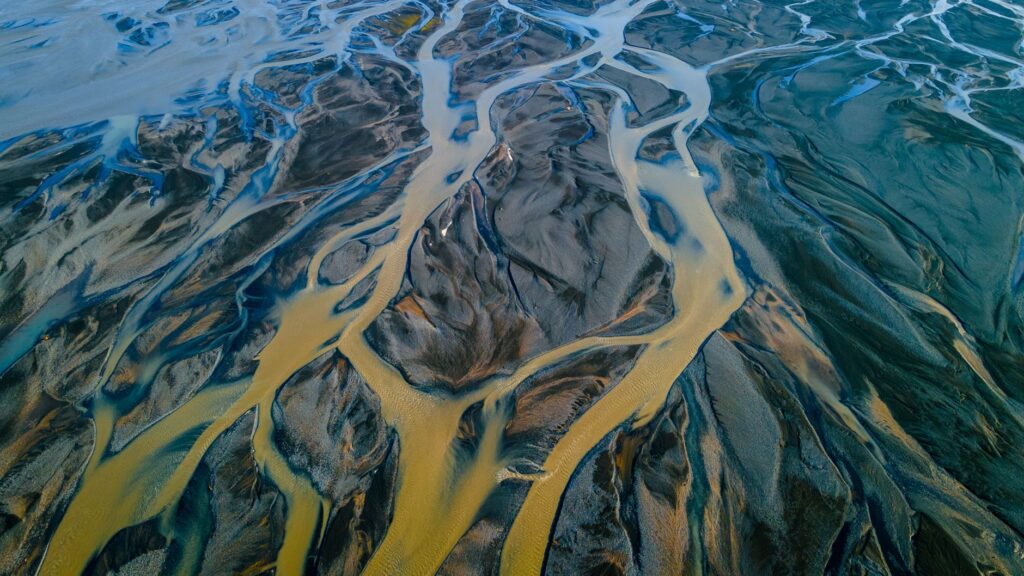
The heart of Guainía is defined by the meeting of two aquatic giants: the Guaviare River, carrying sedimentary, whitish waters laden with Andean minerals, and the Inírida River, whose waters bear a deep amber hue caused by the decomposition of organic matter in the sandy soils of the Guiana Shield. This confluence generates a unique visual and ecological phenomenon, where currents flow side by side for kilometers without completely mixing, creating sharply visible demarcation lines from the air and cross-currents that test the skill of any helmsman.
For the navigator, understanding the behavior of the Maipures and Atures rapids further north, as well as the complex passages of the Morichal and San Borja rapids within the Inírida basin, is a matter of survival. The rainy season, stretching from April to November, transforms tranquil channels into mazes of floating logs and high-velocity currents, while the low-water period from December to March exposes treacherous stone slabs and reduces the depth of smaller creeks, forcing expeditionary crews to execute frequent portages.
The Architecture of the Dugout Canoe and the Ancient Navigation Technique
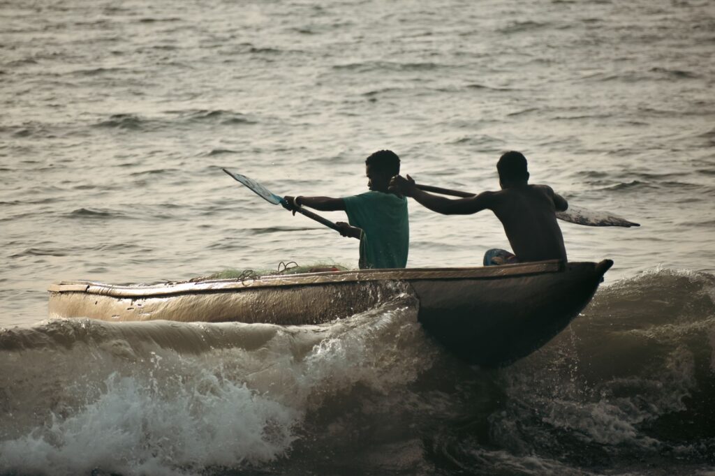
Unlike modern fiberglass or aluminum watercraft, river navigation in Guainía relies on the ancestral technology of the dugout canoe. These vessels, constructed from a single tree trunk hollowed out using fire and hand tools, possess a hydrodynamics specifically adapted to the conditions of Amazonian rivers. Their flat bottoms allow them to glide over shallow rapids, while their inertia demands precise knowledge of balance and leverage using paddles carved from macano wood.
While outboard motors have been integrated as auxiliary tools, the core propulsion through rapids remains physical effort and the reading of the water. The canoe captain must identify ‘calms’ and ‘exit eddies’ by observing bubbles and the surface texture of the current. A miscalculation when steering the bow against a rapid can result in capsizing and the loss of cargo—an ever-present risk that requires the indispensable participation of local guides in every crew.
The jungle is not conquered with powerful engines or satellite technology; it is crossed only when one learns to read the murmur of water over submerged stones and respects the timing of the rapids.
Community Logistics and Territorial Sovereignty
Organizing an expedition through the indigenous reserves of Guainía requires a logistical approach radically different from any other adventure route. The territory does not belong to commercial tour operators, but to organized communities under the umbrella of indigenous authorities who manage access, lodging, and guiding services on their ancestral lands. Securing entry permits is not a mere administrative formality, but a process of consultation that guarantees respect for local rules and fair compensation for the families inhabiting the riverbanks.
Logistical self-sufficiency is another unavoidable pillar. Given that there are no hotel infrastructures or grocery stores beyond urban settlements like Inírida or Puerto Colombia, all food, fuel, and water filtration equipment must be transported from the starting point. Fuel—gasoline mixed with two-stroke engine oil—becomes the most valuable currency along the route, requiring meticulous calculation of autonomy to avoid being stranded hundreds of kilometers from any supply outpost.
Health, Biosecurity, and Risk Management in the Wilderness
The extreme remoteness of Guainía relative to high-complexity medical centers makes prevention the first line of defense for any expeditionary. Tropical diseases such as malaria and dengue are present in the region, making the rigorous use of high-concentration repellents, permethrin-impregnated mosquito nets, and recommended medical prophylaxis mandatory before departure. Likewise, freshwater stingray punctures on sandy beaches and encounters with venomous snakes such as the fer-de-lance require specialized medical kits carrying antivenom and strict protocols of action.
Water is another critical health factor. Although Guainía’s rivers are visually pristine in many areas, direct consumption without treatment causes severe gastrointestinal infections. Fine-pore gravity filtration systems combined with chlorine tablets or UV purifiers must be employed, ensuring constant hydration in an environment where relative humidity frequently exceeds ninety percent and average temperatures hover around thirty-two degrees Celsius.
The Art of Human Cartography and Intercultural Dialogue
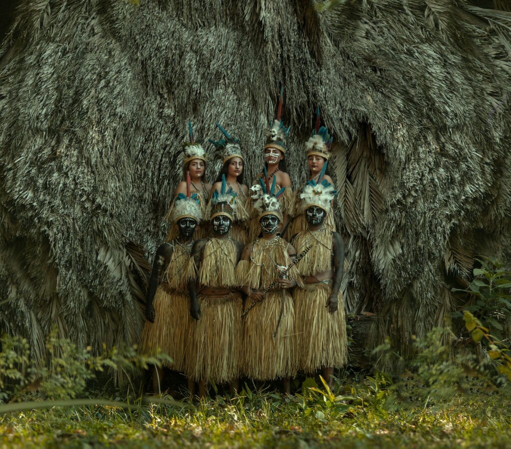
Traveling along the rivers of Guainía is, above all, an exercise in living anthropology. The communities inhabiting the riverbanks preserve a detailed oral memory of every river bend, every ephemeral island appearing with the dry season, and every legend associated with the mambeadero hills and tepuis rising like stone cathedrals on the horizon, such as the Mavecure Hills. Listening to the elders’ stories around mambe and ambil is not a recreational activity added to the trip, but the true map complementing the Geographical Institute’s navigation charts.
This interaction demands humility and a willingness to learn. Communication codes in the Amazon value patience, silence, and observation over Western haste. Establishing a bond of trust with local captains allows not only safe navigation, but also a deeper understanding of how humans have inhabited this hyper-diverse environment for millennia without disrupting its fundamental equilibrium.
Practical guide
How to get there: Access to Puerto Inírida, the gateway to Guainía, is exclusively by air from El Dorado International Airport in Bogotá, via regional airlines operating turboprop aircraft. There are no roads connecting the region to the interior of the country.
Best time to visit: The dry season, between December and March, offers better conditions for wildlife observation and the exploration of rock outcrops, while the flood season, from April to November, allows navigation through flooded creeks that remain inaccessible the rest of the year.
Permits and authorizations: It is mandatory to process entry through traditional indigenous authority associations (CRIMA) and coordinate guiding services with authorized local operators in Puerto Inírida.
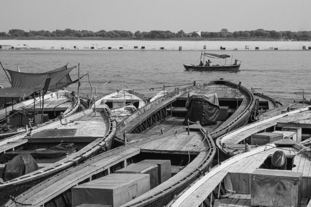
Essential equipment: Dugout canoe with a spare outboard motor, certified life jackets, watertight barrels for luggage, water purification systems, mosquito nets, quick-drying long-sleeve clothing, and a satellite communication system (InReach or satellite phone).
Currency and payments: Colombian pesos in cash are the only accepted payment method. There are no ATMs or data networks outside the main urban centers.
The Green Heartbeat of the Horizon
When the sun begins to set over the flooded savannas of the Inírida River, the sky of Guainía ignites in a palette of deep reds and incandescent oranges reflecting perfectly on the dark surface of the water. At that precise moment, sitting on the rustic wood of the canoe as the current gently rocks the vessel, the traveler understands that the true magnitude of the Amazon does not lie in its unmeasurable surface area, but in its capacity to transform the perspective of anyone who dares to cross its thresholds. The river journey does not conclude by tying the bow to the dock; it remains pulsating in memory as a constant reminder that there still exist untamed geographies in the world where nature preserves its sovereign laws intact.