
Introduction to the Alpine and Marine Frontier
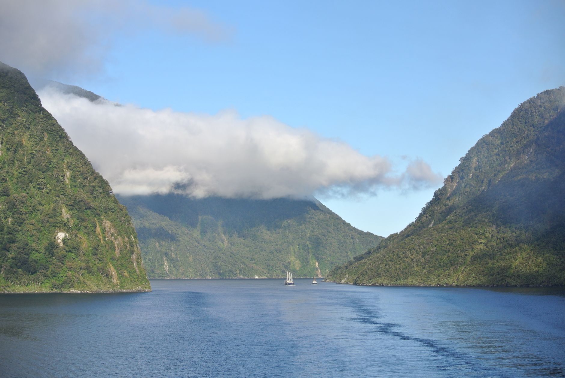
At the southwestern tip of New Zealand’s South Island, where the Southern Alps plunge abruptly into the cold waters of the Tasman Sea, human connectivity is reduced to a delicate balance between road engineering and fjord navigation. This territory, sculpted by glaciers over millennia, presents one of the most challenging geographies on the planet for land and maritime transport. The Fiordland region, dominated by vertical rock walls exceeding one thousand meters in height, dense temperate rainforests, and annual rainfall surpassing seven meters, demands an infrastructure as resilient as it is respectful of a protected environment of immeasurable value.
Access to Milford Sound (known in the Māori language as Piopiotahi) is not a mere tourist itinerary, but a complex logistical enterprise. The route relies on a single terrestrial umbilical cord: State Highway 94, known as the Milford Road, which winds from Te Anau through hanging valleys, avalanche-carved gorges, and a corridor of living rock bored with hammers and dynamite in the mid-twentieth century. Understanding this transport system involves delving into an intermodal network where the skill of vessel captains intersects with the constant meteorological vigilance of road maintenance crews.
Geological Genesis and Historical Isolation
To gauge the magnitude of the transport effort in Fiordland, it is essential to examine the tectonics and geomorphology that shaped this corner of Oceania. Orogenic forces from the Alpine Fault have thrust entire mountain ranges of granite and diorite skyward, while successive ice ages carved U-shaped valleys that were subsequently flooded by the ocean as the ice retreated. The result is a coastline indented by fourteen major fiords, of which Milford Sound is the most accessible, though this accessibility is profoundly relative.
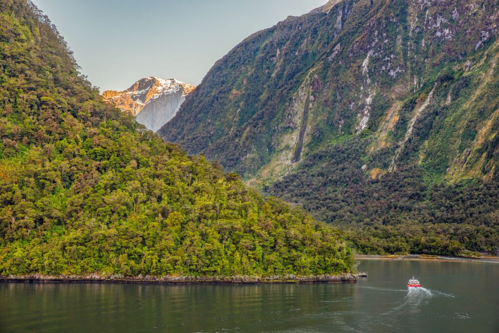
For centuries, the Māori knew the fjord and visited it temporarily to collect pounamu (greenstone or nephrite) and hunt native birds, utilizing offshore canoes (waka) that required deep knowledge of the tides and katabatic winds howling down from the peaks. European explorers took decades to accurately map the area due to the dense marine labyrinth and persistent fog. When a land route was finally planned in the 1930s to connect the interior of Southland province with the Tasman Sea, engineers faced a titanic obstacle: the Homer Saddle.
The Heroic Engineering of Milford Road and the Homer Tunnel
State Highway 94 is much more than a scenic highway; it is a masterpiece of mountain engineering built under extreme weather conditions. Initiated partly as an employment relief project during the Great Depression, the road’s construction involved carving trenches into unstable slopes and skirting seasonal avalanches that continue to pose a latent threat to modern road traffic.
The nerve center of this route is the Homer Tunnel, a 1,219-meter bore driven through the Main Divide. Formally opened in 1953 after years of delays aggravated by wartime resource shortages and harsh high-mountain working conditions, the tunnel is today a bottleneck regulated by smart traffic lights and specialized traffic management personnel. Lacking concrete lining throughout much of its interior, the bare granitic rock allows underground water streams to seep through, demanding constant maintenance and sophisticated drainage systems.
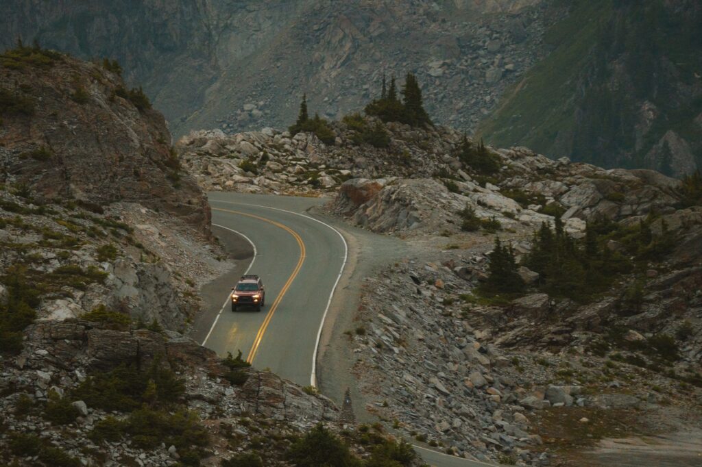
The living rock of the Homer Tunnel is not merely a technical passage; it is a scar carved by generations of workers who defied the absolute isolation of New Zealand’s western coast.
The Logistics of Maritime Transport within the Fjord
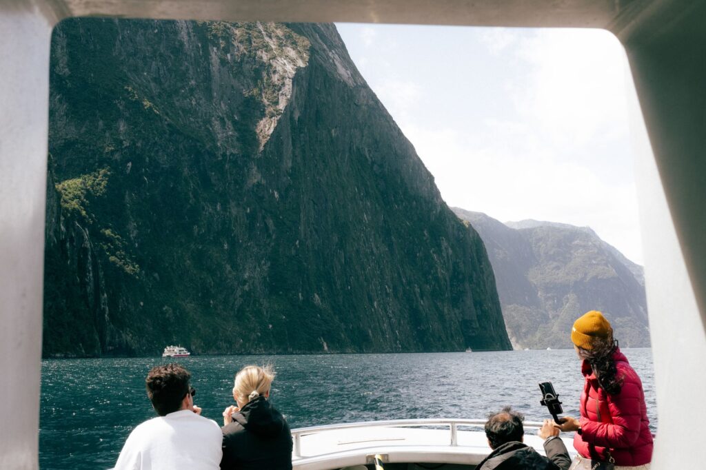
Once vehicles and tour buses descend the steep Cleddau Gorge and reach the valley floor, the logistical operation shifts radically in medium. Milford Sound operates as a deep-water natural harbor where a diverse fleet of catamarans, mid-sized cruise ships, and research vessels competes for a restricted but environmentally sensitive nautical space.
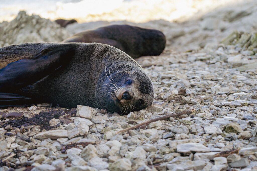
The management of maritime traffic within the fjord is coordinated by the regional port authority in close collaboration with the Department of Conservation (DOC). Speed restrictions, pre-established navigation routes, and strict protocols to minimize acoustic and physical impact on resident populations of bottlenose dolphins (tursiops truncatus) and New Zealand fur seals are fundamental pillars of daily operations. Each vessel must feature onboard wastewater treatment systems and comply with rigorous emission regulations to prevent the degradation of a unique marine ecosystem, characterized by a dark surface layer of freshwater from rainfall that allows deep-water black corals to thrive at shallow depths.
The Meteorological Challenge and Risk Management
The critical factor conditioning any transport planning in Milford Sound is the weather. Averaging more than 180 rainy days per year, torrential precipitation can trigger dozens of landslides and mud torrents within hours, unexpectedly blocking the Milford Road.
To mitigate this risk, the New Zealand Transport Agency operates an advanced avalanche prediction and control program. Using gas cannons and explosive charges deployed from helicopters, teams of geologists and alpine safety experts trigger controlled releases on snow-covered slopes before they pose a spontaneous hazard to travelers. When the risk of avalanches or rockfalls exceeds safety thresholds, the Homer Tunnel and entire sections of the highway are closed immediately, isolating the fjord by land for hours or even days. This structural vulnerability forces tour operators and temporary residents to maintain logistical reserves of fuel, food, and medical supplies.
The Transition Toward Sustainable Mobility and Electric Futures
In response to sustained growth in international tourism prior to the past decade and environmental pressure on Fiordland’s fragile ecosystem, the transport model to and within Milford Sound is undergoing profound transformation. Government institutions and local operators are debating ambitious plans to reduce carbon footprints and decongest road traffic during the summer months.
Initiatives under study include the potential progressive electrification of the tourist catamaran fleet—harnessing the region’s abundant hydroelectric generation—as well as the design of decentralized visitor centers to limit massive private vehicle entry. Furthermore, advanced intermodal transport concepts are being evaluated to prioritize high-capacity electric shuttle buses from logistical nodes located outside the national park, thereby reducing fatigue on road infrastructure and minimizing noise pollution in deep valleys where the ancient silence of the temperate rainforest echoes.
Practical guide
How to get there: The sole terrestrial access route is State Highway 94 from Te Anau. The drive by car or bus takes approximately two and a half hours without stops, though travelers should budget at least four hours due to mandatory scenic viewpoints.
Road and tunnel status: Checking weather reports and Milford Road conditions on the official New Zealand Transport Agency (NZTA) website before starting the journey is mandatory. The Homer Tunnel features traffic light control, meaning waits of up to 20 minutes can occur.
Fuel planning: There are no gas stations in Milford Sound or along the route once past Te Anau. Filling up the vehicle’s fuel tank completely before embarking on the journey is essential.
Fjord cruising: Scenic cruises depart regularly from the Milford Sound terminal. Booking in advance is crucial, particularly during the peak summer season (December to February).
Recommended equipment: High-quality waterproof clothing, sturdy hiking footwear, and an adequate supply of insect repellent are indispensable due to the constant presence of local biting sandflies.
The Silent Heartbeat of the Southern Fjords
As evening falls, when the last catamarans shut down their engines and tie up at the wooden piers of the inner dock, Milford Sound regains a timeless dimension. The echo of distant waterfalls, such as the imposing Stirling and Bowen falls, once again overrides the murmur of human activity, reminding travelers that this transport and navigation infrastructure is merely a fragile thread cast across geological immensity. In this oceanic outpost, where the mountain range sinks into the marine abyss, every journey successfully completed through the Homer Tunnel and the twists of the Cleddau represents a daily triumph of human tenacity against the indomitable pride of alpine nature.
Bearing the weight of the mountain and the fury of the tide is the silent price paid by engineering to keep alive this bridge between the earth and the Tasman Sea.