
The sea of seven colors is not merely a poetic trope for travel brochures, but an unyielding hydrological barrier that defines the existence of the inhabitants of the San Andrés, Providencia, and Santa Catalina archipelago. Located more than seven hundred kilometers off the Colombian continental coast, this insular outpost relies on a logistics choreography as delicate as it is meticulous. Every kilogram of food, every liter of fuel, and every passenger crossing the marine horizon must submit to the strict laws of insularity. Understanding how islanders move and what mechanisms sustain life in these coral islands requires looking beyond airport terminals and delving into the docks where the tide sets the rhythm of the local economy.
The modern connectivity of this territory rests upon a fragile intermodal balance. While the Gustavo Rojas Pinilla International Airport absorbs the massive flow of visitors and perishable cargo via narrow-body commercial aircraft, internal communication between San Andrés and its northern sister island, Providencia, has undergone a profound transformation following the reconstruction of its infrastructure after recent storm impacts. Transport dynamics in this portion of the Caribbean brook no improvisation; any disruption in supplies or vessel frequencies immediately alters the daily pulse of communities that have made resilience their primary currency.
The Backbone of the Air: The Continental and Insular Air Bridge
The supply of passengers and priority cargo rests upon civil aviation. Airlines operating routes from cities such as Bogotá, Medellín, and Cartagena face a constant operational challenge: managing short runways located in high-sea environments where crosswinds and sudden tropical storms demand highly skilled crews. The Gustavo Rojas Pinilla Airport in San Andrés operates at the limit of its urban capacity, surrounded by residential neighborhoods that force strict control over daytime and nighttime operations. This steady flow is the main artery connecting the native islanders with the mainland.
On the other hand, the hop to Providencia once depended almost exclusively on short-haul aviation operated with Twin Otter-type aircraft. Following the modernization of El Embrujo Airport, the airstrip regained full operational capacity, allowing scheduled flights that bridge the ninety kilometers of marine distance in barely twenty minutes. However, the capacity of these aircraft is limited, making every seat a highly coveted asset. Weight restrictions per passenger and baggage are not mere bureaucratic annoyances, but non-negotiable safety measures imposed by the physics of low-altitude flight over the ocean.
The Water Route: Catamarans and Cargo Barges in the Deep Caribbean
When the wind picks up and skies close for light aviation, the sea reclaims absolute prominence. The voyage between San Andrés and Providencia aboard high-speed catamarans is a test of patience and endurance for both travelers and vessels. During the worst weeks of the Caribbean winter, waves can reach considerable heights, turning a three-hour trip into a complex journey where heavy seas test hull structures and passengers’ stomachs. These catamarans transport not only people, but also mail and small packages essential for local commerce.
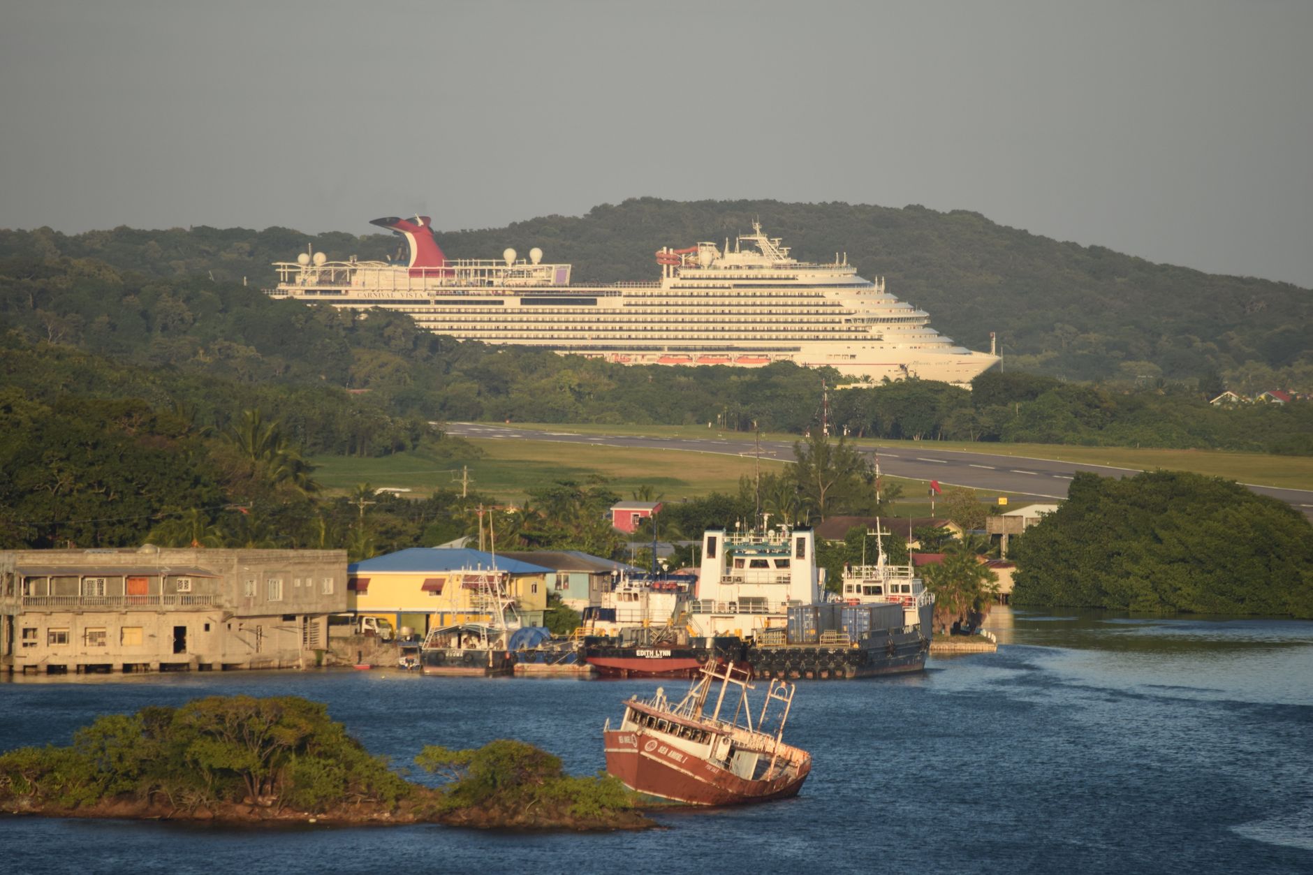
In parallel, heavy cargo, construction materials, and vehicles rely on slower motor vessels and cargo barges setting sail from the commercial dock in San Andrés. This coastal maritime transport is the true economic lung of the archipelago. Without these vessels, tourist activity and infrastructure renewal would grind to a halt within days. Container unloading is performed using port cranes operating under the relentless rhythm of the swell, requiring seamanship skills accumulated over generations of local captains.
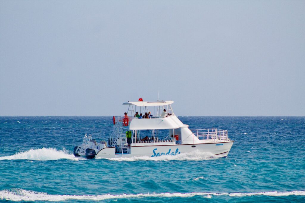
Distance in the archipelago is not measured in nautical miles, but in the capacity of vessels to defy the uncertainty of Caribbean weather.
The maintenance of these maritime fleets represents a considerable financial and technical challenge. Situated in a highly saline marine environment, hulls and engines suffer accelerated corrosion. Local dry docks are limited, meaning many deeper-draft vessels must be periodically sent to continental shipyards, temporarily leaving heavy cargo transport capacity on the islands to a minimum. This logistical vulnerability is one of the Achilles’ heels that port authorities attempt to mitigate through fleet renewal programs and subsidies for marine fuels.
Internal Mobility: Motorcycles, Buggies, and Pressure on the Ring Road
Once on solid ground, mobility on the island of San Andrés revolves around the Circunvalar, a coastal road of just over thirty kilometers hugging the insular contour. Vehicular saturation during peak tourist seasons has turned this road corridor into a critical congestion point. The traditional model of renting golf carts and motorcycles to visitors clashes head-on with the need to guarantee fluid transit for residents and public bus transport, known locally as busetas.
Local authorities have implemented gradual restrictions on the entry of combustion vehicles and encourage the use of electrical alternatives, although the transition advances at a pace conditioned by the import costs of batteries and spare parts to the insular territory. For the inhabitants of Providencia, by contrast, the scale is radically different: internal mobility is resolved via bicycles, motorcycles, and walks along neighborhood paths winding between hills and mangroves, where heavy motorized traffic is practically nonexistent and the tranquility of the natural environment is prioritized.
Critical Infrastructure and the Management of Energy and Water
Talking about transport in an archipelago is also talking about the invisible logistics that allow life support systems to function. Power generation plants and desalination units supplying San Andrés and Providencia depend entirely on the punctual arrival of fossil fuels transported by tanker ships. Any delay in the docking of these vessels immediately jeopardizes the energy supply for hospitals, hotels, and homes. The energy supply chain is, therefore, the most critical link in the entire intermodal network.
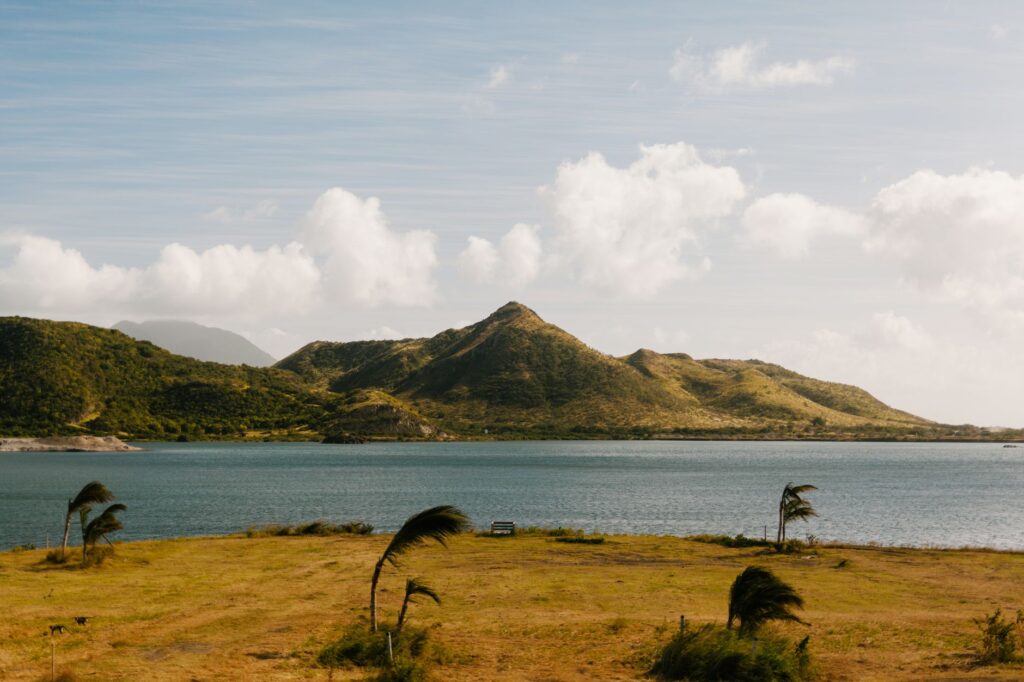
This dependency forces the design of very strict contingency plans contemplating the strategic storage of emergency reserves both on land and at authorized floating points. Port logistics engineers work in close collaboration with harbor masters to prioritize the docking of supply vessels over recreational craft, thus ensuring that the balance between tourism development and basic subsistence always remains in favor of the latter.
blockquote editorial 2: Sustaining insular connectivity requires recognizing that every maritime and air route is, before a commercial service, a fundamental right of territorial integration.
The Climatic Factor: Resilience Against Hurricanes and Tropical Storms
The western Caribbean is one of the most cyclonic zones in the world. The passage of Hurricane Iota in 2020 left an indelible scar on Providencia’s transport infrastructure, completely destroying docks, knocking down control towers, and isolating the archipelago during the critical hours following the catastrophe. Since then, evacuation protocols and civil engineering designs have changed radically. New docks are built with reinforced concrete blocks capable of withstanding major category strikes, and airstrips feature optimized drainage systems to prevent prolonged flooding.
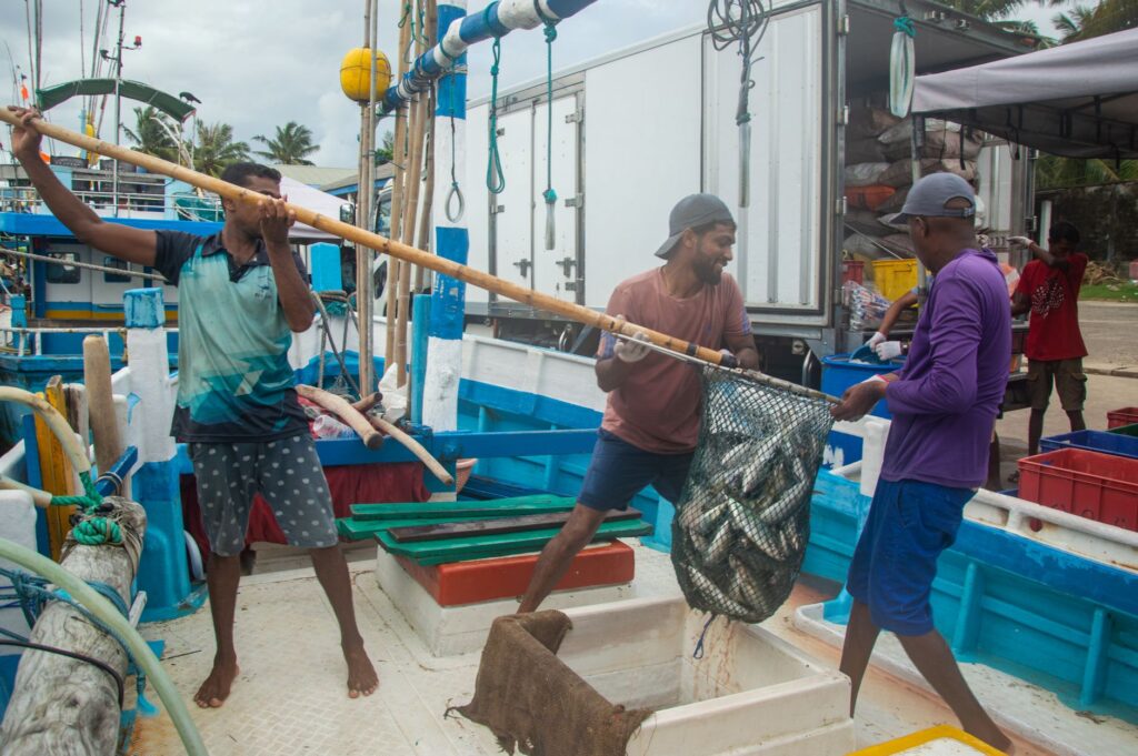
Likewise, airlines and shipping companies have perfected their early warning systems in coordination with international meteorological centers. When a tropical storm alert is issued, fallback plans are activated within hours: smaller vessels are pulled from the water and secured on land, while commercial aircraft preemptively evacuate tourists in the zone of influence before airspace is closed for operational safety reasons.
Practical guide
How to get there: The main access is by air via the Gustavo Rojas Pinilla International Airport (ADZ) in San Andrés, with daily flights operated by commercial airlines from Bogotá, Medellín, Cali, and Cartagena. To connect with Providencia, scheduled flights are operated by authorized regional airlines from San Andrés or, alternatively, maritime catamaran services subject to sea state conditions.
When to travel: Although the archipelago enjoys warm temperatures year-round (averaging 28 °C), the months between December and April offer the most stable maritime conditions for catamaran navigation. The hurricane season in the Caribbean officially extends from June to November, a period during which exercising extreme caution and constantly reviewing weather forecasts before planning internal travel is highly recommended.
Documentation and fees: All non-resident visitors must purchase a Tourist Card upon boarding at the departure airport on the mainland. It is essential to keep this document throughout the stay, as it will be required at internal immigration checkpoints and upon leaving the islands. Carrying cash in local currency (Colombian peso) is recommended for small payments in rural areas and public transport.
Local mobility: In San Andrés, renting buggies or motorcycles is popular, but verifying insurance coverage and respecting speed limits on the Circunvalar road is advised. For public transport, urban busetas connect the main points of interest on the island at affordable prices. In Providencia, travel is conducted mainly on foot, by bicycle, or via duly identified local mototaxi services.
Horizons of Salt and Wind: The Final Pulse of a Moving Archipelago
Standing on the breakwater of the San Andrés dock at dusk, as the sun merges with the deep blue of the Caribbean, allows one to glimpse the true magnitude of the human effort sustaining this territory. Cargo ships slowly cast off their mooring lines while the last fishing boats return with high tide, closing a daily cycle where the modernity of commercial aircraft coexists with the ancestral wisdom of those who have carved space out of the ocean. Here, in this insular outpost, every journey is a reaffirmation of sovereignty and a living testimony of how human will can build bridges over abysses of saltwater.