
The Vertical Call of Pale Stone
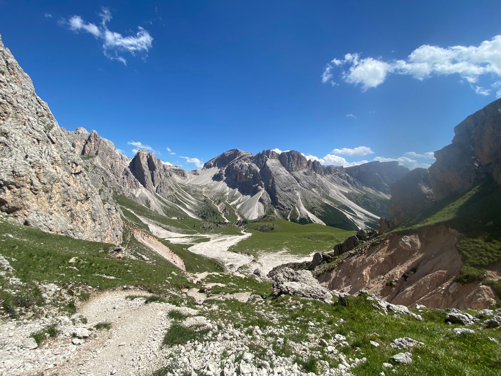
The Dolomites are much more than a mere geographic anomaly in northeastern Italy; they represent a colossal stony architecture that defies the visual canons of the European Alps. Here, the summits do not rise through gentle, forest-covered slopes; instead, they erupt from the earth with vertical walls of dolomite—a double carbonate of calcium and magnesium that absorbs sunlight and transforms it into a shifting palette of ochres, pinks, and blinding whites at dusk. Planning a multi-day expedition through this territory requires understanding that the alpine mountain is not a recreational playground, but a complex system where exposure to the void and volatile weather dictate the rhythm of the march.
Throughout this report, we will examine the critical vectors that define an autonomous and safe traverse across the high routes of this alpine enclave. From selecting technical gear for via ferratas to decoding local weather bulletins, the objective is to provide a rigorous working tool for experienced mountaineers and travelers seeking a deep immersion in the Italian range, far from the congested valley tourist hubs.
Geological Anatomy and Cartography of the High Route
Understanding the genesis of dolomitic summits is essential for interpreting their topography. These massifs originated as coral reefs submerged in a tropical sea during the Triassic period, more than two hundred million years ago. Tectonic movements subsequently uplifted these seabed floors, carving out fragmented plateaus and vertical spires that test the orientation skills of any expedition member today. Long-distance routes, traditionally known as the Alta Vie, demand detailed cartography at a 1:25,000 scale, preferably edited by the Italian Alpine Club (CAI) or specialized cartographers such as Tabacco.

The alpine terrain is characterized by an alternation of unstable scree slopes, exposed ridges, and sections equipped with steel cables and metal rungs. In this context, satellite navigation systems must be considered secondary backups to traditional map and compass reading. Visibility can drop to zero within minutes due to the sudden formation of orographic fog, turning an obvious col into a labyrinth of identical limestone rocks. The planning of each stage must incorporate alternative escape routes leading down to lateral valleys in the event of unexpected physical deterioration or worsening atmospheric conditions.
The mountain does not reward excessive ambition, but rather absolute respect for the safety margins imposed by vertical geography.
Cumulative daily elevation gains frequently exceed one thousand meters in both ascent and descent, subjecting joints and muscles to severe wear. Weight distribution inside the backpack becomes an exact science: the center of gravity must be kept high and close to the spine to prevent imbalances on exposed steps where a single misstep could prove critical. Furthermore, footwear must consist of heavy-duty mountaineering boots with high-traction soles, capable of handling both dry rock friction and early summer residual snowfields.
The Culture of High-Altitude Refuges
One of the most unique elements of the mountaineering experience in the Dolomites is its network of mountain refuges, managed in many cases by local families or regional sections of the CAI. Nestled in dizzying cols or clinging to sheer rock faces, these establishments function as authentic logistical oases. They allow the trekker to lighten backpack loads by eliminating the need for heavy tents, bulky sleeping bags, and autonomous cooking systems, offering overnight stays in shared dormitories and hot meals grounded in the rich culinary tradition of South Tyrol and the Veneto.

However, the existence of these refuges does not exempt the expeditioner from rigorous planning. The operational season is exceptionally short, generally running from late June to mid-September, depending on winter snow persistence. Reservations must be secured months in advance due to high international demand. Moreover, it is fundamental to remember that refuges operate with limited resources: drinking water is often scarce, collected from melted snow or rainwater storage, and electricity comes from solar panels or diesel generators with strict shutoff schedules.
Technical Safety on Via Ferratas and Exposed Steps
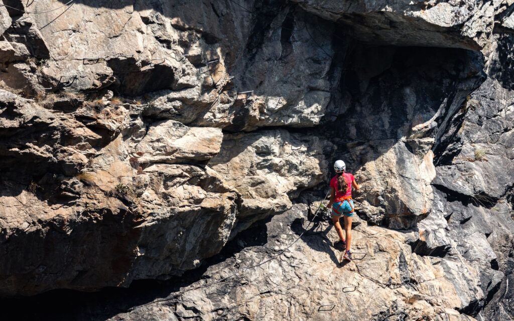
Via ferratas are vertical routes equipped with artificial aids that facilitate progression across terrain otherwise reserved exclusively for expert rock climbers. Nevertheless, traversing these routes requires absolute mastery of specific personal protective equipment (PPE) for ferratas, consisting of a climbing harness, an approved helmet, and an energy-absorbing lanyard system with wide-opening carabiners designed to absorb the force of a potential fall.
The most common mistake among novice trekkers in the Dolomites is underestimating the psychological and physical exposure of these sections. A steel cable provides passive security, but it does not exempt the user from sustained physical exertion with arms and legs. Additionally, afternoon thunderstorms, highly frequent during summer months in the region, turn metal cables into lethal conductors of atmospheric electricity. The golden rule for alpinists in the Dolomites is to start hiking at dawn to reach refuges or mountain passes well before noon, when the probability of convective thunderstorms spikes exponentially.
Water Management, Nutrition, and Acclimatization
Unlike other mountain ranges where water flows abundantly through valleys and meadows, the Dolomites feature a highly permeable limestone substrate. Rainwater and snowmelt filter rapidly through underground fissures and cavities, meaning surface springs are scarce in the upper sections of the routes. Trekkers must carry a minimum water reserve of two liters per person and utilize every refuge or verified spring to refill flasks, purifying the water if there is the slightest doubt regarding its origin.
Regarding nutrition, prolonged aerobic exertion at altitudes ranging from two to three thousand meters demands a high caloric intake based on slow-release carbohydrates and healthy fats. Acclimatization, although less critical than in the Andes or the Himalayas, should not be ignored. The first two days of a traverse frequently induce mild headaches and premature fatigue in travelers who ascend directly from sea level to high-altitude refuges without an intermediate valley adaptation period.
Communication, Rescue, and Emergencies in the Alpine Territory
Mobile phone coverage in the Dolomitic valleys is excellent, but it tends to vanish entirely in deep gorges, behind massive rock walls, or on the northern slopes of massifs. For this reason, carrying a satellite communication device or an independent emergency messaging service is an elementary measure of prudence for autonomous expeditions in remote areas.
In the event of an accident or severe weather emergency, the European emergency number 112 activates the National Alpine and Speleological Rescue Corps (CNSAS). Helicopter rescues in the Dolomites are highly technical, but they depend entirely on weather conditions: if fog is dense or winds exceed safety thresholds, aircraft cannot take off, forcing rescue teams to approach on foot and delaying assistance. Therefore, travel insurance must explicitly include search and rescue coverage in high-mountain terrain, as well as medical repatriation.

Practical guide
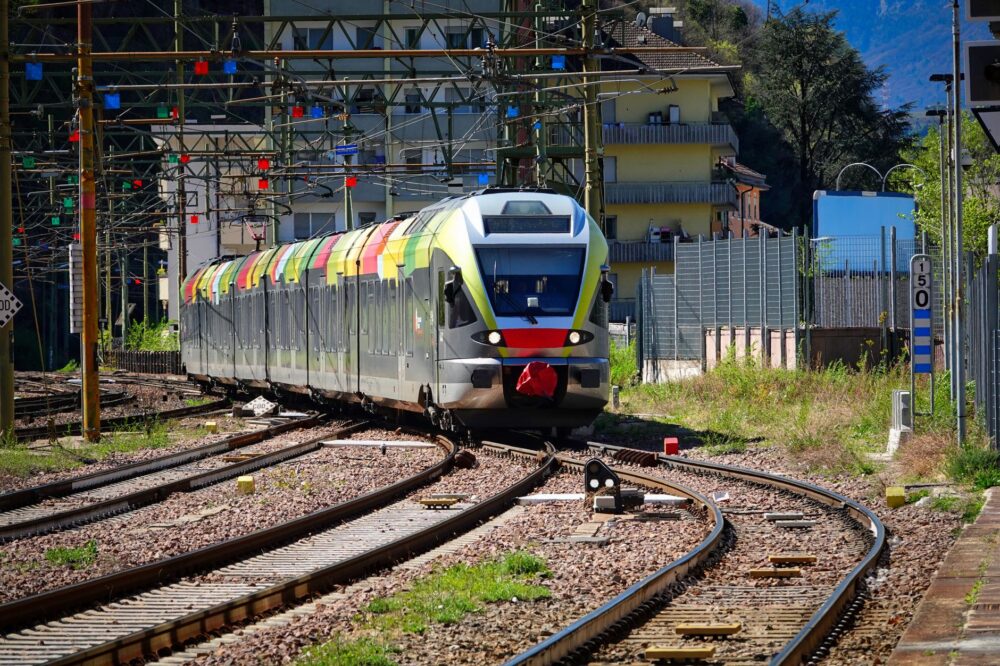
How to get there: The international airports of Venice (VCE) and Milan (MXP) serve as primary gateways. From there, access to the threshold towns of the Dolomites (such as Cortina d’Ampezzo, Corvara, or San Martino di Castrozza) is achieved via regional trains to stations like Calalzo di Cadore or Fortezza, complemented by alpine bus connections.
When to go: The optimal window for high-route traverses extends from early July to mid-September. Outside this period, refuges remain closed, and the risk of avalanches alongside winter snowpack on critical passes requires advanced winter technical gear.
Permits and regulations: No special access permits are required to hike long-distance routes, but wild camping (bivouacking) is strictly prohibited within most protected natural parks, such as the Fanes-Sennes-Prags Nature Park. Emergency bivouacking is permitted exclusively from dusk to dawn if circumstances demand it.

Recommended gear: High-cut boots with Vibram soles, technical layered clothing with breathable and waterproof membranes (Gore-Tex type), certified via ferrata kit with harness and helmet, telescopic poles with summer baskets, first aid kit, thermal blanket, headlamp with spare batteries, and water purification devices.
Connectivity and maps: Indispensable paper cartography (Tabacco 1:25,000 series). Recommended offline applications such as Tabacco Map or FATMAP for digital support, always with high-capacity external batteries due to rapid cold-weather discharge.
The Silence of the Stone at Dusk
When the sun begins its descent behind the imposing spires of the Tre Cime di Lavaredo or the Marmolada massif, the Dolomites experience an incomparable optical and acoustic phenomenon known locally as *enrosadira*. The limestone rock walls, which throughout the central hours of the day have endured relentless heat and the effort of hikers, flush with an intense red hue before fading into the solemn gray of night. At that precise moment, sitting on the wooden bench of a centuries-old refuge while the aroma of coffee and freshly made polenta fills the air, the expeditioner understands the true value of the traverse. It is not about conquering a summit to accumulate statistics, but about tuning one’s own pulse to the millenary cadence of a land sculpted by wind, water, and time.