
In the heart of the South Pacific, where tectonic plates grind beneath the seabed and tropical cyclones periodically redraw navigation routes, the Vanuatu archipelago stretches as a chain of sixty-three inhabited islands that defy all conventional logic of connectivity. Here, distance is measured not in nautical miles or aerial leagues, but in the patience of waiting for a tide change, the skill of coastal skippers reading the color of the reef, and the resilience of entire communities relying on fragile airport infrastructure built upon limestone and crushed coral. Understanding mobility in Vanuatu requires stripping away the certainties of contemporary global transport and stepping into an ecosystem where regional aviation and short-haul merchant marine operate as the sole invisible threads sustaining the country’s social, health, and economic life.
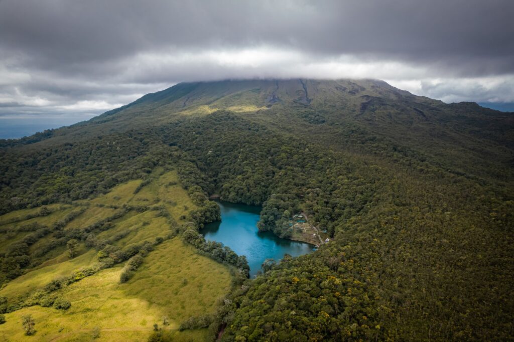
The physical geography of Vanuatu is, at its core, a permanent logistical challenge. Spattered along a northwest-southeast axis known as the New Hebrides trench, the islands range from flat coral atolls to towering volcanic masses with peaks exceeding one thousand meters in elevation, such as Mount Tabwemasana on Santo or the active volcanoes of Tanna and Ambrym. This abrupt topography, combined with the absence of sheltered deep-water anchorages along many coastlines, has prevented the construction of large deep-water piers. Consequently, the vast majority of ports and anchorages rely on lightering operations using small vessels or the expertise of skippers beaching fiberglass launches directly onto black volcanic sand before the surf of the Coral Sea fractures their hulls.
The Aerial Backbone: Grass and Coral Airfields
Vanuatu’s airport system represents one of the most unique exercises in engineering and maintenance in the Southern Hemisphere. Featuring a primary international airport in Port Vila (Bauerfield) and a secondary hub in Luganville (Santo-Pekoa), the true complexity lies in the network of over twenty peripheral airstrips scattered across remote islands like Tongoa, Aniwa, Uripiv, or Maewo. These secondary facilities largely lack modern asphalt pavements. Their surfaces consist of compacted layers of crushed coral, volcanic ash, or tropical grass that require constant manual drainage by local crews to prevent monsoon rains from softening the terrain and forcing the indefinite suspension of services.
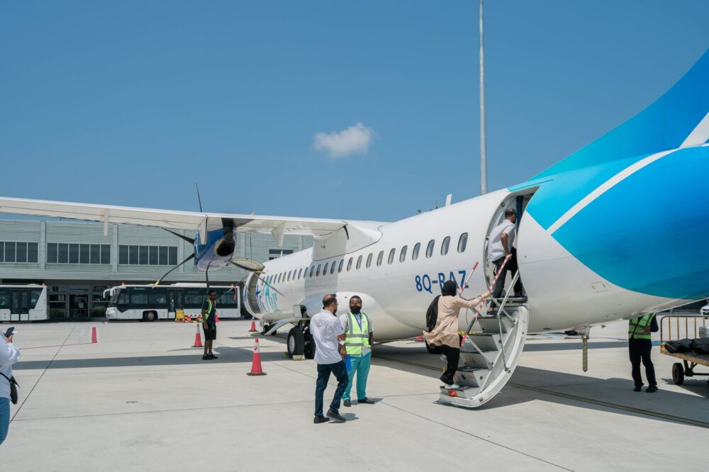
The aircraft operating these domestic routes are selected under strict criteria of aerodynamic performance and structural versatility. The national carrier, Air Vanuatu, and private charter operators have historically relied on twin-engine turboprops such as the DHC-6 Twin Otter and smaller aircraft capable of operating on landing strips under six hundred meters in length. These unpressurized cabins fly at low altitude, allowing passengers and pilots to observe the topography of barrier reefs and the steam plumes of active volcanoes directly. However, reliance on visual meteorological conditions is absolute: a morning fog bank or a sudden tropical trough is enough to completely isolate an island for days, forcing the rescheduling of critical food and medical logistics.
The Coastal Merchant Marine: The Silent Pulse of the Straits
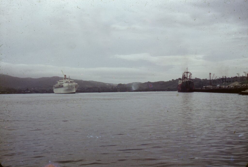
While aviation resolves passenger and light cargo emergencies, heavy transport and daily trade rely on a heterogeneous fleet of coastal vessels, converted steel schooners, and motorized launches winding through insular channels. These ships, popularly known in local Pidgin as island boats, set sail from the congested docks of Port Vila loaded with sacks of rice, fuel drums, construction materials, and entire families traveling with their belongings on deck. These voyages are not without risk; the cross-currents of the Coral Sea and the southeast trade winds turn journeys of a few hours into trials of seamanship endurance.
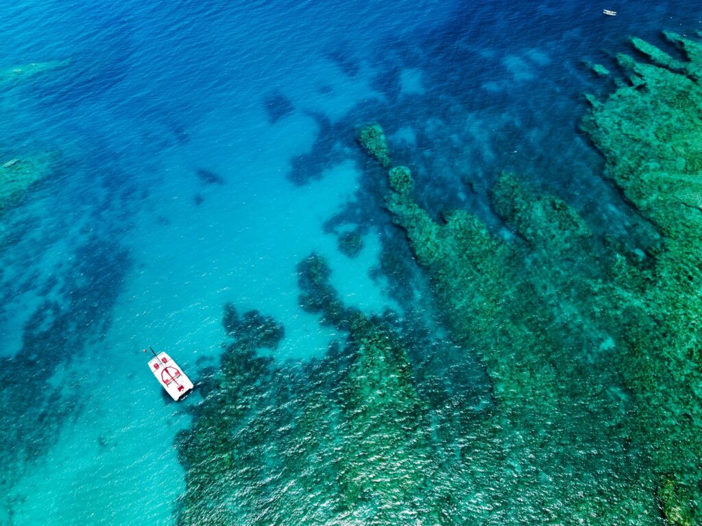
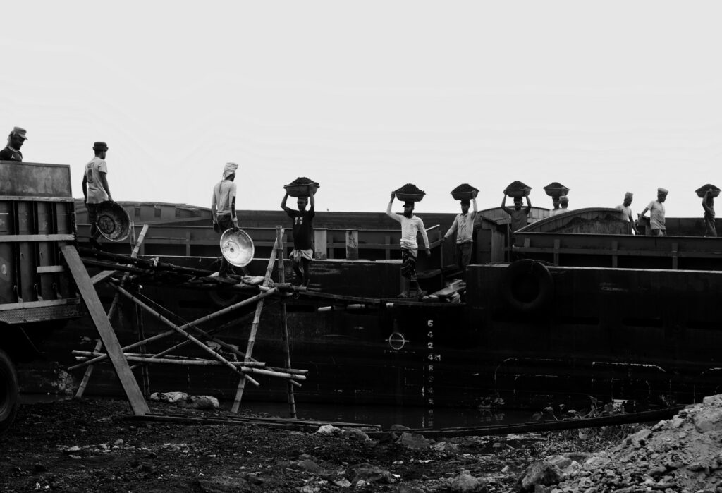
The management of these coastal ports reflects the precariousness of insular resources. On islands like Malekula or Pentecost, cargo operations are carried out via fleets of auxiliary skippers making multiple trips between the vessel anchored half a mile offshore and the beach. Local stevedores, organized into community cooperatives, carry goods on their shoulders across oscillating wooden gangways. This system, though rudimentary, sustains a subsistence economy where time is subordinated to the rhythm of the tides and community responsiveness in the face of imported fuel shortages.
Coastal Infrastructure and the Impact of Climate Change
In recent years, the vulnerability of Vanuatu’s transport system has been alarmingly intensified by the effects of climate change and sea-level rise. Several coastal airstrips, historically situated just meters above the high-tide line on low-lying atolls, suffer recurrent flooding from spring tides and storm-surge-induced erosion. Aniwa’s airstrip, for instance, has required recurring emergency interventions to prevent saltwater intrusion and marine pounding from rendering its sole fast communication link with the main island of Tanna unusable.
Faced with this scenario, national authorities, in collaboration with international development agencies, have begun rethinking the location of certain critical infrastructure, moving them toward inland plateaus or reinforcing natural breakwaters with basalt retaining walls. Nonetheless, the economic costs of these works in an archipelago with an economy primarily based on subsistence agriculture and niche tourism are staggering. The fragility of connectivity is not merely a technical inconvenience, but an existential threat to territorial cohesion and access to basic health services.
The Human Factor: Skippers, Pilots, and Ocean Memory
Behind every provisional flight schedule and handwritten cargo manifest in Vanuatu’s ports lies the human factor, represented by professionals operating under strict safety margins with limited resources. Domestic flight commanders must memorize the visual characteristics of every grass strip, recognizing natural markers such as solitary trees or changes in soil coloration that act as approach guides. At sea, local skippers inherit ancestral knowledge of currents, ground swells, and seabird flight patterns, knowing how to interpret signals that elude modern electronic navigation instruments.
This empirical knowledge combines with international aviation and maritime safety protocols, creating a hybrid risk-management model. When a category five cyclone strikes the archipelago—as tragically occurred with Cyclone Pam in 2015 or Cyclone Kevin in 2023—this human network is the first to mobilize, manually clearing debris from runways and restoring basic communications, proving that the true strength of Vanuatu’s transport system lies in the solidarity and autonomous organization of its communities.
Practical guide
Planning travel or research across Vanuatu’s inter-island network requires a flexible mindset and a deep understanding of its logistical limitations.
Regional Air Transport: Domestic flights are mainly operated by Air Vanuatu and authorized charter operators from Bauerfield (Port Vila) and Santo-Pekoa airports. Bookings must be made months in advance due to high occupancy and low aircraft capacity. Verifying strict baggage weight policies (generally limited to 10-15 kg per passenger) is essential.
Maritime Navigation: Cargo and passenger ships connecting the main islands to peripheral enclaves depart from the docks of Port Vila and Luganville. Reliable digital schedules do not exist; departures depend on cargo loading and weather conditions. Bringing your own provisions and seasickness medication is highly recommended.
Accommodation and Local Mobility: On the outer islands, land transport is virtually non-existent, save for modified trucks (public transport Hiluxes) traversing dirt tracks. Proper footwear for hiking is essential, along with respecting local customs regarding access to communal lands and traditional anchorages.
The Last Frontier of Oceanic Mobility
Clinging to its Melanesian roots and exposed to the relentless force of the elements, Vanuatu’s transport system stands as a fascinating testament to human adaptability. While major global metropolises debate digital hyperconnectivity and high-speed trains, this archipelago demonstrates that mobility can be an act of everyday endurance. Every outrigger canoe crossing a reef pass and every light aircraft touching down on a strip of coral are reminders that, at the edges of the ocean, the true compass is community.