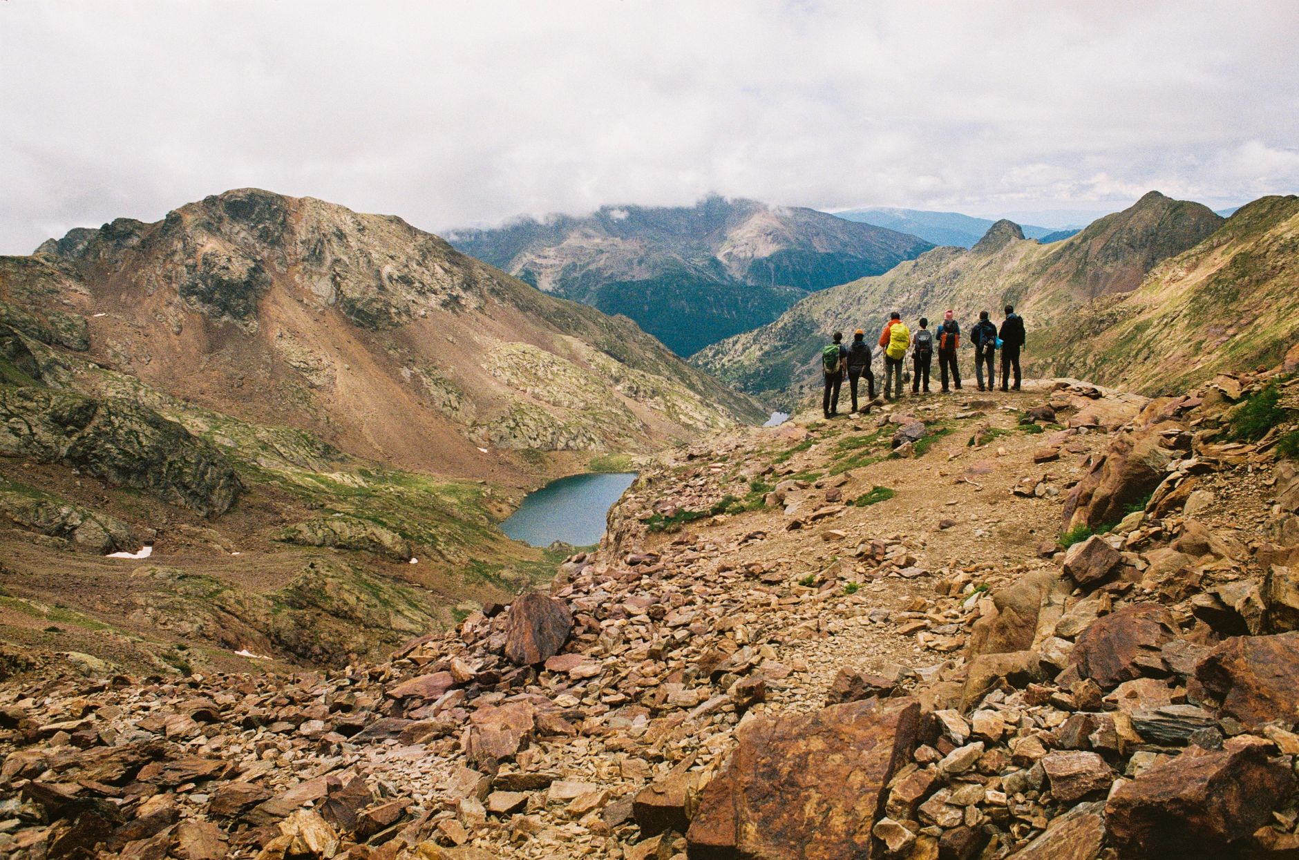

The Pyrenean Haute Route, known in its classic layout as the HRP (Haute Randonnée Pyrénéenne), represents one of the most demanding and rewarding pedestrian challenges in the European continent. Unlike other marked trails designed for the comfort of the casual hiker, this itinerary conceived by pioneer Georges Véron runs almost continuously along the border ridges and mountain passes separating France and Spain. It is not merely about walking from refuge to refuge, but about carving a line of desire along a geological backbone where limestone and granite carve a wild landscape, often devoid of clear trails and dominated by the imposing verticality of legendary peaks such as Aneto, Vignemale, or Monte Perdido.
Embarking on this traverse demands a radical shift in the mindset of the contemporary traveler, accustomed to immediacy and constant support infrastructure. Here, self-sufficiency and terrain-reading skills become the sole guarantees of success and safety. The scarcity of official trail markers across extensive stretches of the route requires mastery of detailed cartography, the compass, and the altimeter, turning each day into an exercise in pure land navigation. This report examines with technical rigor the logistical, orographical, and human keys necessary to face one of the purest pedestrian expeditions remaining in southern European mountains.
The invisible geography of the border ridge
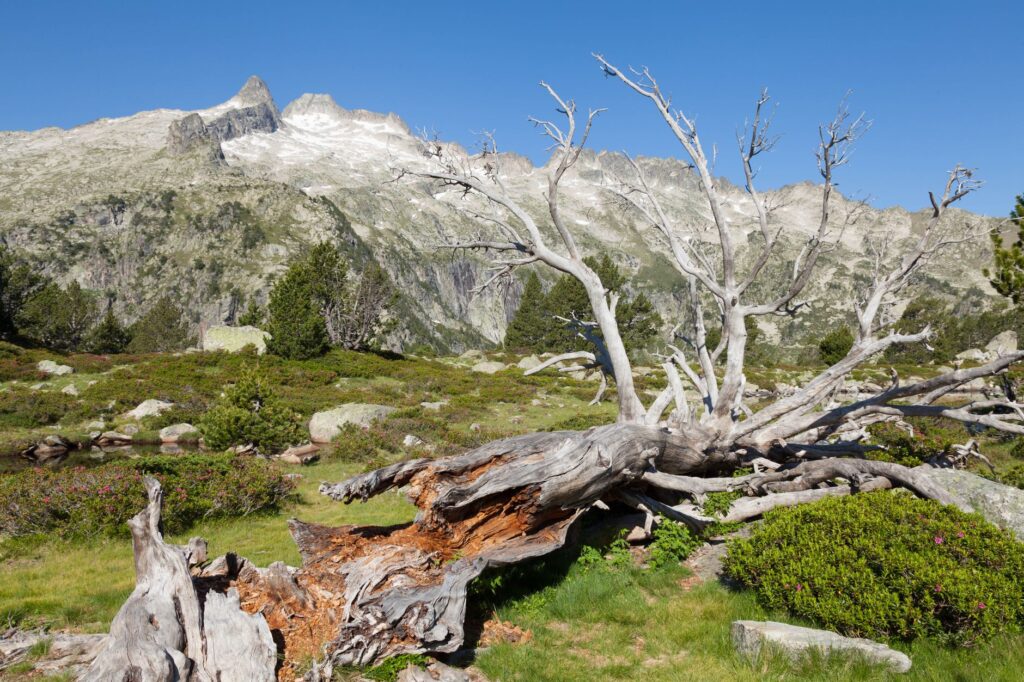
The territory through which the HRP passes is no neutral space; it is a natural boundary that for centuries has functioned both as a barrier and a meeting point between two cultures. Geologically, the Pyrenean range is the result of a violent tectonic collision between the Iberian and Eurasian plates, a process that has left as its legacy an abrupt relief marked by deep glacial valleys, hanging cirques, and sharp ridges. Throughout the weeks required for the complete journey, the trekker experiences a fascinating morphological transition, from the wetter, greener Atlantic massifs in the west to the arid and limestone ramparts of the central pre-Pyrenees, culminating in the ice-sculpted granite of the eastern sectors bordering the Mediterranean Sea.
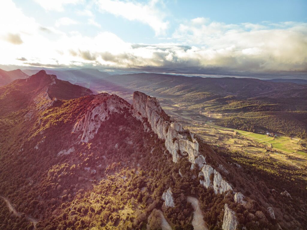
Understanding this geography implies accepting its unwavering rules. Cumulative daily elevation gains frequently exceed one thousand five hundred meters in both ascent and descent, testing the biomechanical endurance of any expedition member. Unstable scree slopes, locally known as tarteras, and persistent snowfields well into summer demand mountain footwear with high-traction soles and, occasionally, the use of telescopic poles to distribute weight and secure each step. The absence of treated potable water in numerous elevated sections requires meticulous planning of water collection points and carrying reliable filtration systems to avoid animal-borne pathogens.
Extreme weather and the thermal inversion phenomenon
One of the greatest risks on the Pyrenean Haute Route lies in the unpredictability of its climate, conditioned by the confluence of Atlantic and Mediterranean air masses crashing against these stone masses. Radiant morning blue skies can transform within hours into violent summer thunderstorms, accompanied by hail and sharp temperature drops. The route’s average altitude, which remains sustained well above two thousand meters, exposes the traveler to intense ultraviolet radiation and katabatic winds rushing down from the peaks into the valleys.
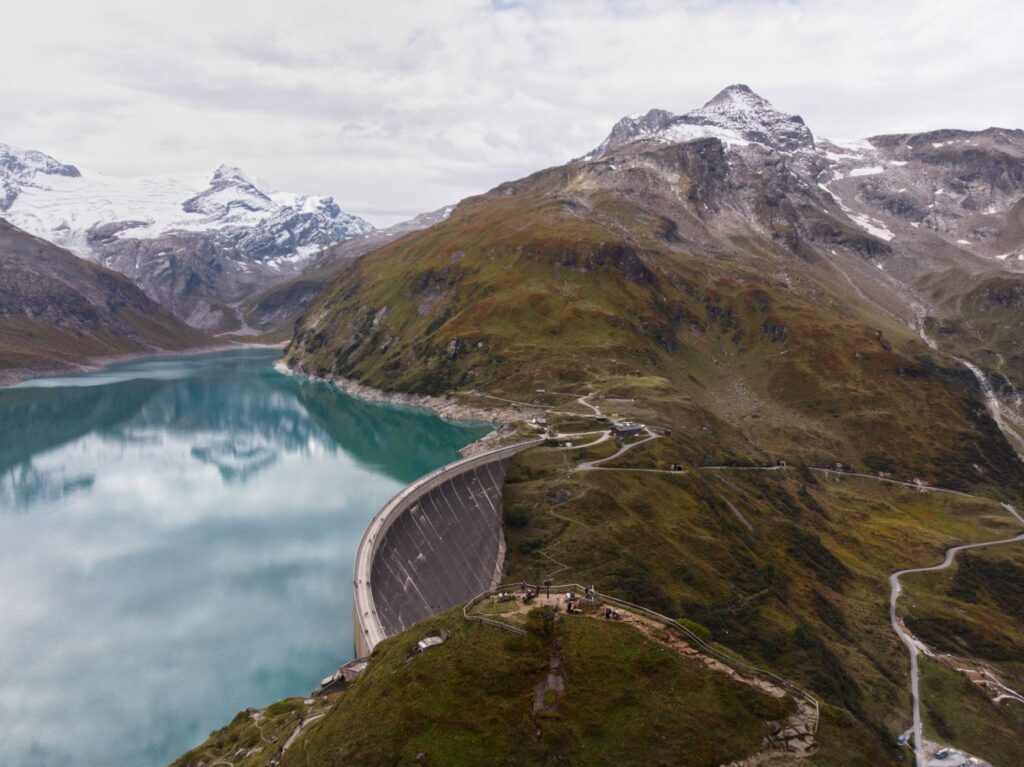
Daily planning must obligatorily include the consultation of specific high-mountain weather bulletins, distrusting general forecasts for inhabited valleys. Likewise, the thermal inversion phenomenon can generate freezing mornings in ibones (glacial lakes) and high passes, followed by rapid warming that destabilizes slopes and increases rockfall risk. Knowing how to read cloud formations, such as vertical cumuli announcing storms, and understanding escape routes toward serviced refuges or emergency cabins are skills as vital as physical fitness.
The culture of the refuge and life at high altitude
Along the route, mountain refuges and conditioned or abandoned pastoral stone huts act as true milestones of civilization and physical sanctuary. On the French side, the network managed by the FFCAM (Fédération Française des Clubs Alpins et de Montagne) offers everything from fully serviced lodges with meal options to unserviced emergency huts (cabanes non gardées) equipped with the basics for spending the night. On the Spanish side, iconic refuges such as Goriz, Respumoso, or Conangles combine mountaineering tradition with hearty, comforting gastronomy, essential for replenishing glycogen stores after days of extreme effort.
Accommodation in these spaces requires respecting a strict etiquette of coexistence and silence, where collective rest takes precedence over any other consideration. Places are limited, and advance reservation is mandatory during peak summer months, though the legal obligation to shelter any mountaineer in a life-threatening emergency is always maintained. Sharing these tables with local shepherds, experienced wardens, and fellow expeditionaries from around the world enriches the human experience, turning the traverse into a constant exchange of knowledge about the territory and its traditions.
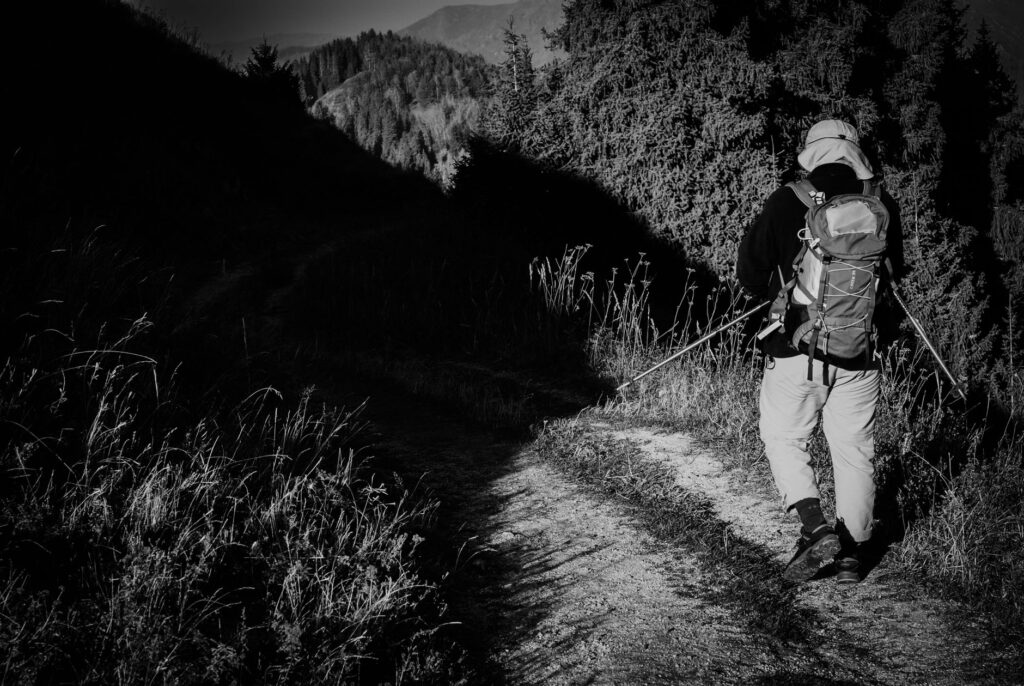
The mountain yields to neither haste nor improvisation; it demands the humility of one who recognizes that they are a temporary guest in a domain belonging to the wind and the rock.
Food autonomy and backpack weight management
Carrying everything necessary to survive for several days without touching asphalt is one of the most complex logistical challenges of the HRP. Every gram counts when technical passes must be crossed with a pack that, at the start of each autonomous section, can easily weigh around eighteen to twenty kilograms, including camping gear, technical clothing, water, and marching rations. Equipment selection must be based on minimal yet secure criteria: a sleep system capable of withstanding hurricane-force winds, a lightweight gas stove, down or synthetic insulation warm layers, and a first-aid kit focused on trauma, blisters, and dehydration.
Nutrition must prioritize calorie-dense, low-weight foods such as nuts, chocolate, energy bars, cured meats, and dehydrated carbohydrates. Water management, meanwhile, requires a constant balance: carrying just enough not to overload the body, yet securing sufficient reserves against the eventuality of dry or contaminated sources used by cattle and horses grazing freely in mountain passes during the summer season.
Environmental impact and the leave-no-trace ethic
The increase in visitors to the Pyrenees has put the fragility of its alpine ecosystems to the test, where endemic species such as the carpetan lizard, the Pyrenean chamois, or the mythical Edelweiss flower struggle to preserve their natural habitats. The HRP crosses protected areas of high ecological value, such as Ordesa and Monte Perdido National Park or the Pyrenees National Park in France, where regulations regarding bivouac (discreet overnight camping) and the use of fire are extremely restrictive. Lighting campfires, abandoning any type of waste—including organic waste, which takes years to decompose due to the cold—and altering geological formations are strictly prohibited.
Practical guide
How to get there: The main accesses to the western sector are through Hendaye or Saint-Jean-de-Luz on the French Atlantic coast, connected via high-speed rail networks. For the central sector, the Canfranc stations in Huesca or the Aspe and Ossau valleys act as natural gateways. The eastern end connects with Cerbere or Portbou on the Mediterranean coast.
Best time for the expedition: The optimal window extends from late June to mid-September. Outside this period, the presence of heavy snow and the closure of serviced refuges turn the route into an itinerary exclusively suited for winter mountaineers with snowy terrain experience.
Permits and regulations: There is no single permit required to hike the HRP, but specific regulations apply depending on the national and natural parks crossed. Free camping (bivouac) is generally permitted exceptionally between 7:00 PM and 9:00 AM, provided the tent is pitched far from refuges and livestock pastures.
Essential technical equipment: High-cut trekking boots with waterproof membranes, trekking poles with summer baskets, detailed paper topographic maps (French IGN and Spanish IGN), compass, barometric altimeter, GPS device with spare batteries, and emergency thermal blanket.
The ultimate silence of the heights
When the traverse nears its end and the jagged peaks give way to wide valleys where water flows calmly toward the sea, the traveler realizes that the true transformation has occurred within. The Pyrenean Haute Route leaves no one indifferent; its physical hardship is the toll paid to access a world far removed from noise, where decisions have immediate consequences and camaraderie among strangers is forged by the warmth of an iron stove in a high-mountain refuge. In the end, what remains is not the conquered summit, but the intimate certainty of having walked in harmony with the most demanding geography in southern Europe.
Moving along the border ridge means understanding that human boundaries are ephemeral lines drawn on a map, while stone and wind remain eternal.