
Introduction to the Blue Labyrinth of the Adriatic
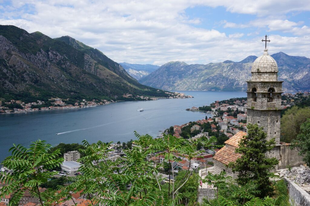
The Bay of Kotor, often mistakenly called Europe’s southernmost fjord—though it is actually a submerged river canyon or ria—shapes a landscape where the imposing limestone mass of the Dinaric Alps plunges almost vertically into the saline waters of the Adriatic Sea. In this territory, the coastline is not merely a geographical feature, but a complex amphibious artery of communication. For centuries, the survival and commerce of historical communities such as Perast, Dobrota, and Prčanj depended entirely on the mastery of water, riverside shipyards, and a network of traditional vessels that served as the only possible bridge between inaccessible cliffs.
Today, the connectivity of the bay is undergoing a fascinating transformation. While mass cruise tourism pressures the historic docks, local communities and commuter transport operators advocate for a mobility model based on short-haul ferries, electric water taxis, and the revival of ancient cabotage routes. Understanding this transport ecosystem requires delving into its daily gears, where geography imposes its own rules and naval engineering engages in a dialogue with architectural heritage protected by UNESCO.
The Geography of Water: Between Tivat Bay and the Inner Basin
The Kotor bay system is divided into four inner basins connected by narrow natural channels, locally known as verige (chains), named after the defensive chains that the Republic of Venice once stretched across to block enemy ships. This water-trefoil design creates an environment sheltered from open sea gales, conducive to cabotage navigation since Illyrian and Roman times. The outer basin, spanning the Bay of Tivat and Herceg Novi, acts as the great gateway, absorbing international maritime traffic before channeling it into the inner narrows.
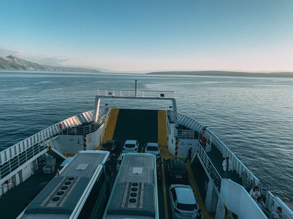
For the traveler and resident, daily commuting is unimaginable without transversal routes. Crossing the Verige strait by water avoids a lengthy, kilometers-long road detour around the entire perimeter of the bay, which becomes severely congested during the summer months. Local ferry companies operate a constant fleet of open-deck roll-on/roll-off vessels crossing from Kamenari to Lepetane in barely ten minutes. This twenty-four-hour uninterrupted service constitutes the true umbilical cord of Montenegrin coastal road infrastructure, proving that transport efficiency here depends on perfect synchronization with tidal currents and seasonal traffic density.
The Heritage of Captains: Shipyards and Riverside Carpentry
Along the stone quays of Perast and Dobrota, civil architecture tells the story of a seafaring bourgeoisie that built its fortune in the 17th and 18th centuries through merchant fleets sailing the Mediterranean and the Black Sea. To this day, baroque palaces facing the water retain their private anchorages and small slipways where smaller sailing vessels were once repaired. This culture of artisanal shipbuilding, though displaced by industrial modernity, survives in discreet family workshops where the craft of riverside carpentry remains alive.
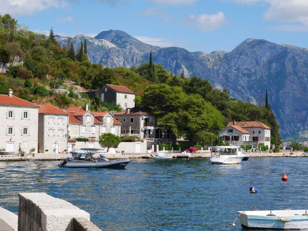
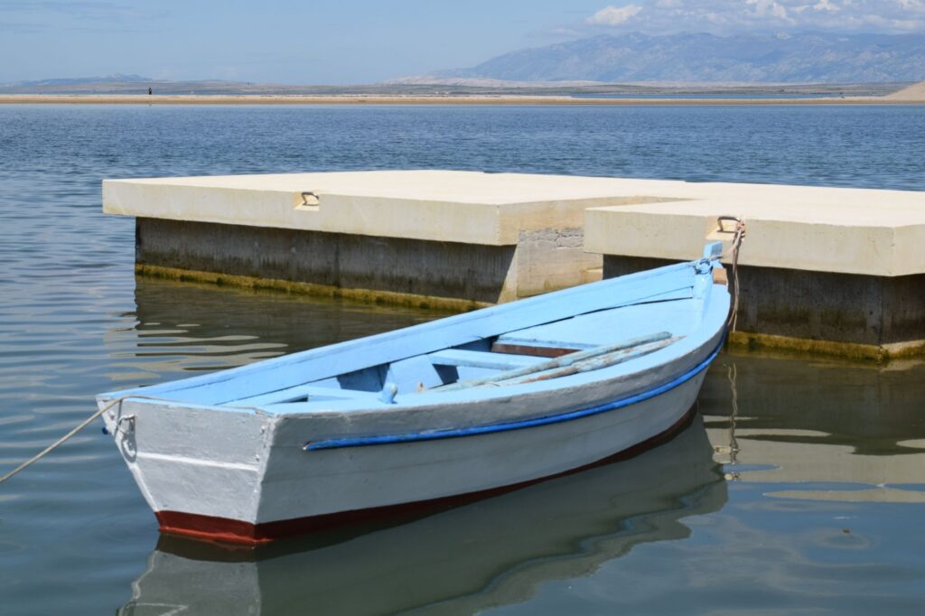
Local master carpenters continue to apply ancestral techniques in the restoration of wooden galleys and traditional rowing boats, known as barke. These boats are not mere museum pieces; they play an active role in small-scale coastal mobility, utilized by local fishermen and to connect small settlements lacking paved road access. Maintaining this tradition represents a form of cultural resistance against the standardization of commercial nautical transport, adding an irreplaceable layer of authenticity to the living landscape of the bay.
The Pressure of Global Tourism and Carrying Capacity Limits
The exponential growth of mass tourism has tested the resilience of transport infrastructures across the Bay of Kotor. During peak season, large passenger cruise ships anchor off the medieval walls of Kotor, unloading thousands of visitors simultaneously. This influx overburdens minor boat docking points, waterfront promenades, and narrow perimeter roads, sparking intense local debate over the sustainability of access models and the need to establish visitor management quotas.
The bay is not a static backdrop for summer postcards; it is a living organism of water and stone whose carrying capacity has inescapable physical limits.
In response to this congestion, port authorities and bay municipalities have begun exploring alternative soft mobility options. New peripheral passenger terminals outside Kotor’s historic center are being planned, accompanied by regular electric ferry lines connecting Tivat, Perast, and Kotor by water, diverting traffic away from the Jadranska Magistrala coastal road. These initiatives aim to shift tourist flows toward a multimodal transport system, where travelers experience the territory from the historical perspective of the water rather than the suffocating interior of a tour bus.
Minor Cabotage Networks: The Invisible Connection of Riparian Parishes
Beyond main commercial routes, a secondary network of cabotage maritime transport connects small insular and religious communities of immense historical value. The most eloquent example is the transit toward the artificial island of Our Lady of the Rocks (Gospa od Škrpjela) and the neighboring natural island of Saint George off Perast. These short crossings, operated by local boatmen with outboard motor skiffs, function as an essential regular service both for religious worship and for cultural conservation and tourism.
This network of small-tonnage passenger boats operates with remarkable flexibility, adapting to the changing meteorological conditions of the bay, where local winds like the *jugo* or the cold *bora* can suddenly alter navigation conditions. The skippers of these vessels possess a deep empirical knowledge of sandbanks, underwater currents, and natural coastal shelters, constituting a living archive of nautical safety that no digital chart can completely replace.
Modern Intermodality: Integrating Road, Sea, and Air
The connectivity of the Bay of Kotor is inseparable from its articulation with external transport nodes, principally Tivat Airport, located just kilometers from the heart of the bay, and the international port of Bar to the south. The arrival of seasonal European airlines turns Tivat into a critical gateway, generating a peak demand for land and maritime transport that congests traditional road access. To mitigate this congestion, current territorial planning prioritizes the integration of shuttle buses with local ferry docking points.
Likewise, the development of intermunicipal cycling lanes and the improvement of old Austro-Hungarian toll trails winding along the slopes of Mount Vrmac and Mount Lovćen offer active mobility alternatives. Although still fragmented, this multimodal network aims to let travelers traverse the bay by combining bicycle travel, public road transport, and cabotage vessels without relying on private vehicles, thus reducing the carbon footprint in an extremely fragile natural environment.
Practical guide
Planning a trip focused on connectivity and nautical exploration of the Bay of Kotor requires attention to essential operational guidelines to move fluently and respectfully toward the local environment:
- How to get there: Tivat Airport (TIV) is the closest, located just 7 kilometers from Kotor. Alternatively, Podgorica Airport (TGD) is 85 kilometers away, connected by road through the Sozina tunnel.
- The Kamenari-Lepetane Ferry Crossing: Operates 24 hours a day year-round. Frequency is continuous (every 15-20 minutes). Payment is made directly at the pier toll booths (cards and cash accepted).
- Local Nautical Mobility: To visit Our Lady of the Rocks and travel between Perast and neighboring villages, bypass large agencies and hire local boatmen directly at traditional piers.
- Best Time for Navigation: The months of May, June, September, and October offer stable weather conditions, lower congestion on cabotage routes, and optimal temperatures for exploration on foot and by sea.
- Historic Center Access Regulations: The municipality of Kotor enforces access restrictions for heavy vehicles and tour buses in the historic center; plan transfers on foot or via authorized minibuses.
- Environmental Responsibility: Avoid single-use plastics during boat crossings and respect anchorage regulations to protect Posidonia oceanica meadows inside the bay.
The Silent Reflection of the Fjord at Dusk
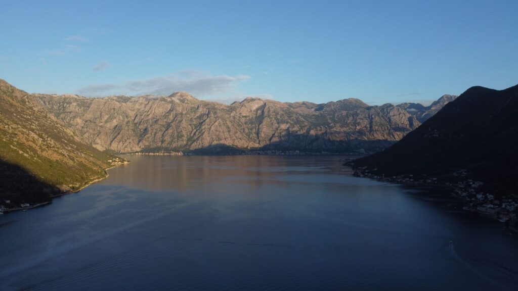
As evening falls and the final rays of sunlight leave the limestone peaks of Mount Lovćen, the surface of the Bay of Kotor turns into a mirror of lead and gold. This is the moment when the hustle and bustle of cruise ships fades away and local ferries maintain their rhythmic, steady trace from shore to shore, transporting workers and residents returning home. In that golden twilight, the true character of the Bocas reveals itself without tourist artifice: a water refuge where time seems measured by the unhurried beat of the tides and the distant motor of a wooden boat.
Traveling across this Adriatic enclave is not about accumulating visits to monuments, but about learning to read the invisible map of its waters, where every stone dock preserves the memory of a people clinging with dignity to the edge of the mountain.
Observing this landscape from a secondary pier in Prčanj makes it clear that Montenegro’s true beauty lies not only in its visual spectacle, but in the silent endurance of its inhabitants. They are the ones who keep alive, day after day, the complex amphibious machinery uniting what geography relentlessly separated, reminding travelers that respect for the territory begins by understanding how those who inhabit it move every single day.