
Traditionally regarded as the toughest and most technical footpath on the European continent, the GR 20 traces the rugged spine of Corsica from Calenzana in the northwest to Conca in the extreme southeast. Spanning approximately one hundred and eighty kilometers, this legendary long-distance route challenges hikers with a cumulative elevation gain exceeding twenty-two thousand meters, distributed across sharp ridges, unstable scree slopes, wind-polished granite slabs, and sheer drops equipped with chains and steel cables.
Far from constituting a leisurely panoramic stroll along the Mediterranean coastline, the GR 20 demands exceptional physical conditioning and absolute mastery of progression in mid- and high-mountain environments. Corsican geography, characterized by its abrupt verticality rising directly from the sea, imposes a relentless rhythm where each stage tests endurance, terrain reading skills, and mental resilience against the accumulated fatigue of weeks of continuous trekking.
The Vertical Geography of the Island of Beauty
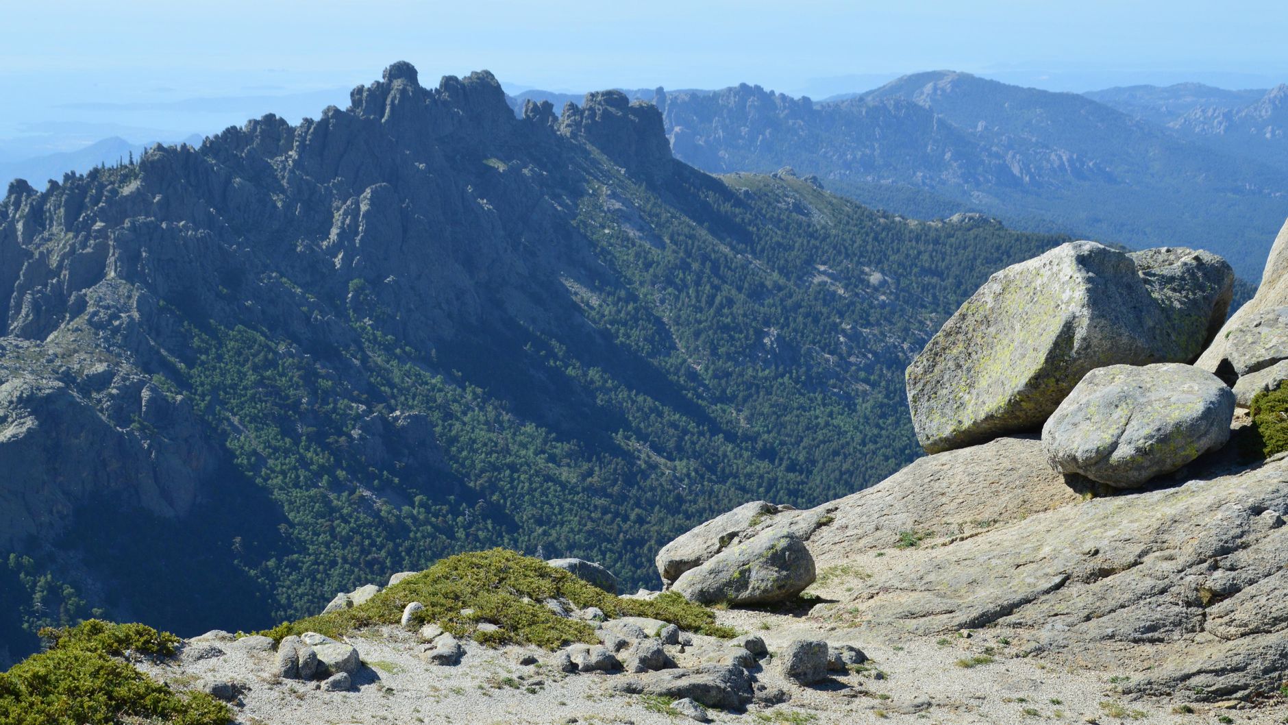
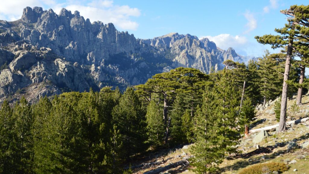
The topography of Corsica is the result of complex tectonic processes that thrust massive granitic and calcareous massifs skyward just kilometers from the shore. The trail traverses the axial zone of the island, deliberately bypassing urban cores and main valleys to remain suspended in the alpine heights. Here, the dominant rock is a compact yet fragile granite along the ridges, eroded over millennia by the freeze-thaw cycles characteristic of the insular alpine climate.
The classic division of the route into two halves—northern and southern—corresponds to notable geological and morphological differences. The northern sector, stretching from Calenzana to Vizzavona, concentrates the most technical, exposed, and physically grueling sections. It is the realm of Monte Cinto and the infamous glacial cirques, where hikers must scramble up vertical rock faces using their hands and exercise extreme caution in the presence of snow patches that persist well into the summer months.
The Contrast Between the Alpine North and the Rolling South
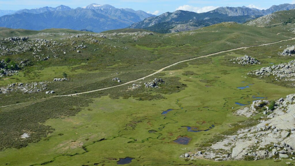
Beyond Vizzavona, the landscape shifts dramatically toward the south, heading down to Conca. Although the elevation changes remain substantial, the nature of the terrain softens with the appearance of more rounded ridges, denser laricio pine forests, and grassy cols that facilitate a more fluid marching pace. Nevertheless, the southern stages should not be underestimated; the reduced availability of natural drinking water sources during the peak summer months makes hydration planning a critical factor for expeditioner survival and comfort.
The transition between these two worlds occurs at the Vizzavona pass, a nodal point where historical transhumance routes once converged and which today serves as a vital resupply station and railway link connecting to the island’s main cities, Ajaccio and Bastia.
Meteorology and Climatology Along the Corsican Spine
Corsica’s climate is profoundly shaped by its insularity and mountainous relief. Humid air masses rolling in from the Mediterranean Sea collide with towering summits, causing rapid condensation that triggers intense electrical storms, particularly during the afternoons of July and August. These storms develop with staggering swiftness, turning secure ridges into lethal traps due to lightning strikes hitting the bare rock.
For this reason, the golden rule for any traveler on the GR 20 is to begin walking at dawn, ideally before five in the morning, to clear the refuges or main mountain passes before midday. The accumulation of static electricity in the atmosphere is a common phenomenon that requires hikers to heed environmental warning signs, such as humming trekking poles or the bristling of body hair.
Katabatic Winds and Extreme Solar Radiation
In addition to storms, the ridges of the GR 20 are exposed to strong katabatic winds plunging abruptly from the peaks into the valleys, drastically altering the apparent temperature. Even in mid-summer, temperatures at refuges situated above two thousand meters of altitude can drop below freezing during the night.
Ultraviolet radiation, intensified by high altitude and the reflectivity of the pale granite rock, represents another significant hazard. The use of broad-spectrum sunscreen, category-appropriate sunglasses, and breathable long-sleeve garments is not an aesthetic recommendation, but a medical necessity to prevent severe burns and rapid dehydration caused by continuous solar exposure.
Logistics, Access, and Trailheads
Planning an expedition to the GR 20 requires coordinating multiple logistical variables long before setting foot on Corsican soil. The primary entry points to the island are the airports of Ajaccio, Bastia, and Calvi, as well as maritime ports serviced by regular ferries from Marseille, Nice, Toulon, and the Italian ports of Genoa and Livorno.
To embark on the route at its northern terminus in Calenzana, travelers must take a taxi or local bus from the coastal city of Calvi, located a mere thirty kilometers away. At the southern end, Conca offers bus connections to Porto-Vecchio, from where it is straightforward to link up with island transport networks to return to the point of origin.
Managing Backpack Weight and Critical Load
Along a trail where every gram matters due to constant scrambling and daily elevation changes, gear optimization is a scientific discipline. The weight of a self-supporting backpack, including water and multi-day food supplies, should never exceed fifteen percent of the hiker’s body weight. Essential items include a water filtration or purification system, an advanced first-aid kit, quick-drying technical apparel, a down or synthetic insulation layer, and an ultralight shelter if opting for regulated free camping.
It is important to emphasize that wild camping along the GR 20 corridor is strictly prohibited outside designated areas adjacent to official refuges managed by the Corsican Regional Natural Park. Disregarding these regulations carries severe financial penalties and threatens the fragile alpine biodiversity of the island.
Refuge Infrastructure and Self-Sufficiency
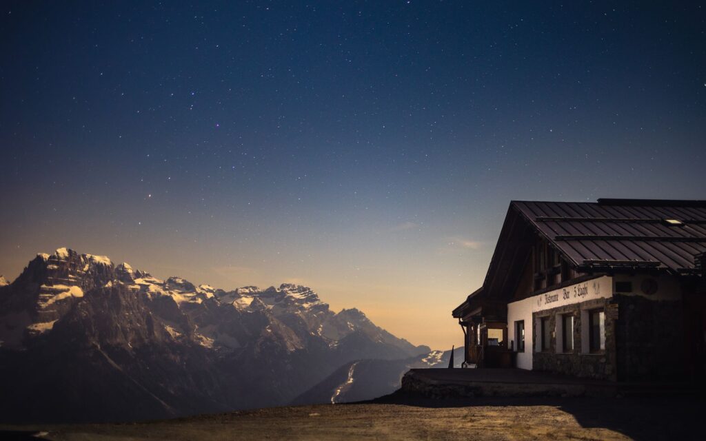
Along the itinerary, sixteen mountain refuges mark the cadence of the stages. These facilities, under public or private management, generally offer a roof, basic mattress-fitted bunks, nearby water sources, and, in some cases, hot meal service or sales of basic canned goods during the summer season.
However, refuge capacity is limited, and spaces cannot always be booked sufficiently in advance through the official online platform. For this reason, carrying a lightweight three-season tent or an appropriate bivvy setup is mandatory, allowing hikers to pitch on designated platforms next to each refuge for a symbolic maintenance fee.
Route Provisioning and Food Supplies
The scarcity of grocery stores along the refuges necessitates millimeter-precise meal planning. Although some wardens offer hot dishes prepared with local ingredients such as brocciu cheese or wild boar charcuterie, hikers cannot rely exclusively on this service, as supplies depend on helicopters or porters, and stockouts are frequent during peak season.
High-calorie dehydrated meals, dried fruit, energy bars, and instant soups form the foundation of the expeditioner’s diet. Furthermore, carrying a lightweight, efficient gas stove is indispensable for boiling water and cooking at outdoor bivvy sites.
Practical Guide
Best Time for the Traverse: The optimal window extends from mid-June to late September. Outside this period, refuges remain closed, and lingering snow and ice on the ridges require winter mountaineering technical equipment (crampons and ice axe).
Permits and Reservations: No special access permit is required to hike the GR 20, but booking spots in refuges and authorized camping zones months in advance via the official Parc Naturel Régional de Corse website is imperative.
Recommended Technical Gear: High-cut mountaineering boots with high-traction soles (such as Vibram), telescopic trekking poles with summer baskets, a climbing harness and via ferrata kit for the most exposed chained sections, and a reliable chemical or membrane-filter water purification system.
Communications and Safety: Mobile phone coverage is extremely sporadic and completely absent in most deep valleys and glacial cirques. Bringing a satellite communication device (such as an inReach or PLB beacon) for emergencies is strongly advised.
Environmental Etiquette: All waste, including organic refuse, must be packed out in the backpack to the next disposal container at a refuge. Lighting fires outside of specifically designed zones is strictly prohibited.
Visual Close and Final Reflection
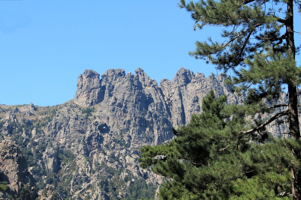
When the final rays of sunlight set the granite walls of the Bavella massif ablaze, staining the marine horizon with a deep copper hue, the cumulative effort of weeks of walking assumes a profound meaning. The GR 20 is not merely a long-distance trail; it is a test of character, an intimate dialogue with the purest nature of the Mediterranean, and a constant reminder of human fragility in the face of stone and wind’s imposing architecture. Every step over time-polished rock cements an indelible bond with the mountain, leaving the trekker with an inner transformation that endures long after leaving the Corsican summits.