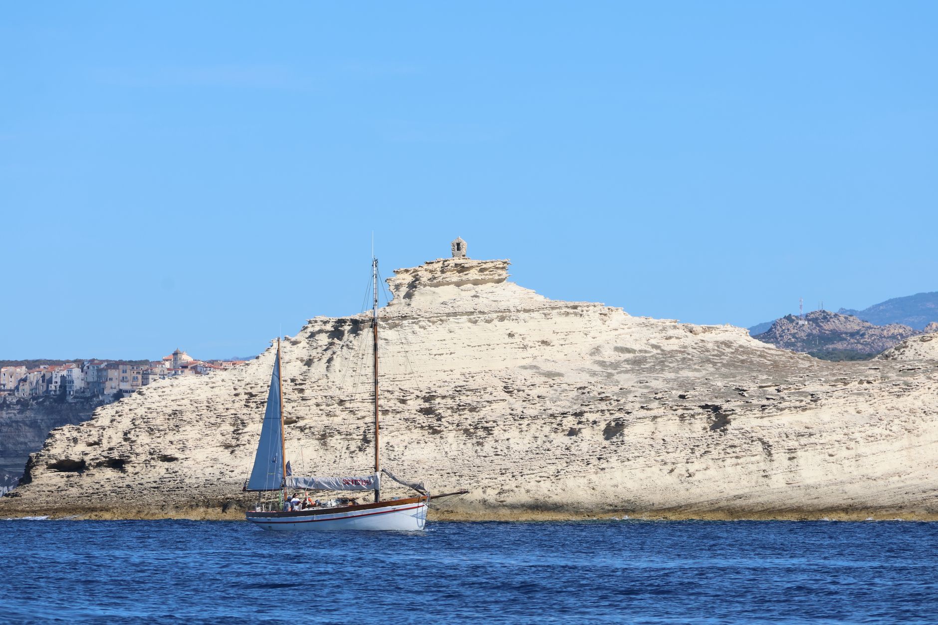

The Bonifacio Strait stands out as one of the most complex, fascinating, and striking maritime passages across the entire Mediterranean Sea. Situated precisely between southern Corsica and northern Sardinia, this channel barely eleven miles wide acts as a true aerodynamic chimney where unpredictable marine currents, treacherous shallows, and a labyrinth of granite formations converge to challenge the skill of any skipper. Navigating these waters goes far beyond a simple exercise of chart-plotting and engaging the autopilot; it demands a deep comprehension of local meteorology, a rigorous reading of nautical charts, and absolute respect for a protected natural environment where the sheer force of the wind shapes the daily landscape.
Historically, this passage has earned a reputation as the terror of ancient mariners and the ultimate testing ground for modern sailors. The submarine topography of the strait hides the notorious Les Moines ledge alongside numerous reefs that force a permanent visual lookout. Nevertheless, for those who master the rhythms of the sea and comprehend the dynamics of the mistral and the gregal, the reward is access to one of purest sailing sanctuaries in continental Europe, where nautical autonomy serves as the sole key to unlocking coves otherwise inaccessible by land.
The Geography of Wind: The Venturi Effect Within the Strait
Aeolian behavior across the Bonifacio Strait is inexorably dominated by the physical phenomenon of the narrow channel, commonly known as the Venturi effect. When the mistral blows fiercely down the Rhône Valley, or when westerly gusts push across the Gulf of Lions, air masses find themselves compressed between the white limestone cliffs of Bonifacio and the rugged granite coasts of northern Sardinia. This dynamic triggers an exponential increase in wind speed, frequently exceeding general forecasts for the broader Tyrrhenian basin by ten to fifteen knots.
Skippers venturing into this zone must learn to interpret wind shadows cast by the Lavezzi Islands and the elevated headlands of Corsica. A poorly calculated tack can leave a yacht dead in the water mere meters from a sheer rock face, or suddenly expose it to a violent squall capable of compromising rig integrity. The key lies in anticipating wind shifts and maintaining a clear upwind escape route free of underwater hazards.
Cartography and Shallows Reading: The Granite Labyrinth
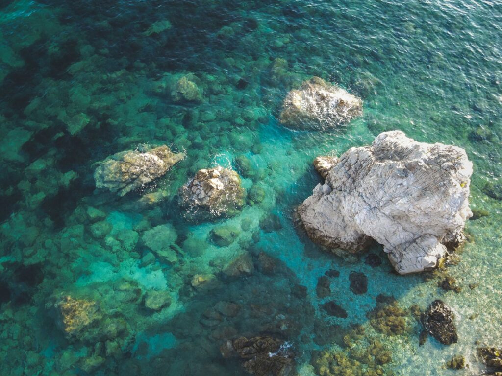
Venturing into the Lavezzi archipelago and the surrounding waters of La Maddalena requires millimeter-grade position accuracy via GPS, constantly complemented by active depth soundings and sharp visual vigils from the deck. Pink granite emerges from turquoise waters in whimsical sculptures that mirror contemporary art, yet beneath the crystal surface lie treacherous stone slabs that sit perilously close to the waterline at low tide. The astonishing clarity of the water, while intoxicating, can generate severe optical illusions regarding actual depth.
Cardinal navigation markers and historic lighthouses, such as Madonetta or La Trinitá, act as silent sentinels guarding safety boundaries. Nonetheless, the recent proliferation of ecological mooring buoys has substantially altered the approach strategy toward more sensitive ecological zones. Ignoring these regulations not only incurs severe fines from the French Maritime Prefecture and the Italian Coast Guard, but also threatens ancient oceanic posidonia meadows vital to the strait’s ecological health.
Port Logistics and Refuges Across Both Sides of the Border
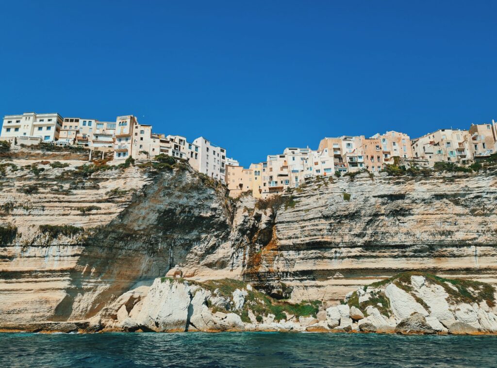
Planning a multi-day voyage through the Bonifacio Strait requires intimate familiarity with the scarce and highly coveted port infrastructure of the region. On the Corsican coast, the port of Bonifacio stands as a masterpiece of historic naval engineering, tucked deep inside a natural fjord sheltered by vertiginous cliffs. However, its capacity is strictly limited, and transient berths during peak summer months are subject to fierce demand requiring months of advance booking or a very early morning arrival.
Alternatives such as Porto-Vecchio to the north or Propriano on the western coast offer superior logistical options for provisioning, fuel bunkering, and complex mechanical repairs. On the Sardinian side, Santa Teresa di Gallura acts as the strait’s counterpart port, providing fluid connections to the La Maddalena archipelago. Fuel management, battery recharging via solar arrays or hydro-generators, and freshwater provisioning—a perpetually scarce resource on smaller islands during the dry season—must be calculated with generous safety margins.
Anchorage Strategy: Balancing Lavezzi Solitude and Swell Management
Dropping anchor in the Bonifacio Strait is an art form that merges predictive meteorology with intimate knowledge of the seabed. The Lavezzi Islands offer refuges of breathtaking beauty, such as the renowned Cala di u Grecu or the anchorage nestled between the main island and Isola Ratino. However, these locations are exceptionally vulnerable to residual swells whipped up by rapid shifts in wind direction. A calm night can quickly turn uncomfortable if an easterly swell rolls in or if the anchor breaks free over patches of fine sand and smooth rock.
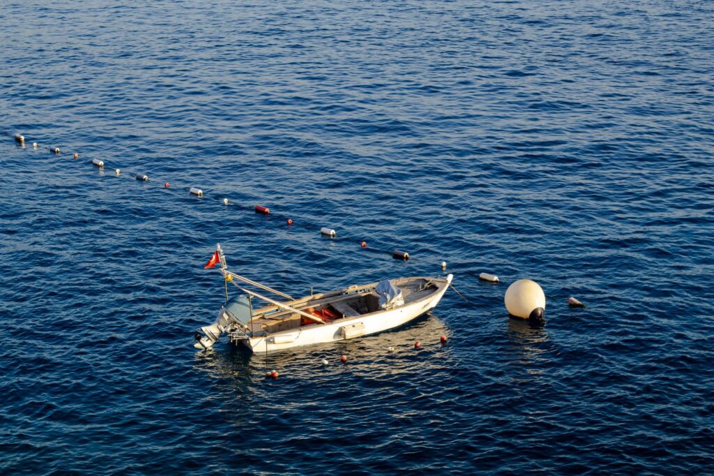
It is imperative to deploy an over-engineered ground tackle system: a reliable electric windlass, sufficient calibrated chain, and a high-holding primary anchor, complemented by a secondary backup anchor ready for immediate deployment. The practice of stern-to anchoring with lines ashore, common in narrower Sardinian coves, demands proficiency in dinghy handling and heavy-duty floating lines to prevent propeller entanglements with neighboring vessels.
Gastronomy and Border Seafaring Culture
Navigating this channel is never solely a technical endeavor; it is equally an immersion into a borderland culture where Corsican and Sardinian influences merge into a distinct island identity. In the ports of the strait, gastronomy reflects both the harshness and the generosity of the sea. Local rock-fish dishes, such as regional bouillabaisse or Corsican *ziminu*, pair naturally with mineral white wines cultivated on hillsides beaten by the tramontane and salty sea spray.
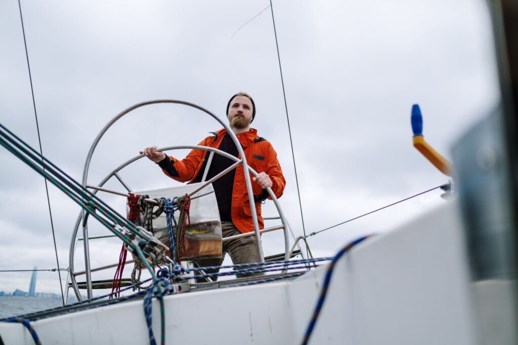
Local communities have historically lived facing the sea, alternating artisanal fishing with pastoralism and coastal cabotage trade. Conversing with veteran skippers along the docks of Bonifacio or within the cafes of Palau reveals how navigation has evolved over generations, transitioning from traditional lateen-sail craft to high-performance modern monohulls equipped with cutting-edge satellite navigation technology.
The sea within the Bonifacio Strait pardons neither hubris nor carelessness; it demands radical humility before the mutability of the wind and constant attention to the pulse of the depth sounder beneath the keel.
Respect for local seafaring traditions also translates into the adoption of low-impact navigation practices. Contemporary sailors carry the ethical responsibility to minimize their carbon footprint, rigorously manage onboard waste, and strictly prevent any discharge into waters that maintain exceptional marine biodiversity.
Practical guide
When to go: The optimal months for sailing the Bonifacio Strait are May, June, September, and October. During this window, wind conditions remain stable, commercial and charter traffic drops noticeably, and availability in primary ports is far more accessible. July and August concentrate intense heat and massive nautical traffic that oversubscribes classic anchorages.
Nautical requirements and documentation: Carrying appropriate nautical credentials (such as an ICC or national equivalents), valid third-party liability insurance, an updated crew list, and the correct courtesy flag for the territorial waters being sailed (France or Italy) is mandatory. Corsica belongs to the European Union and the Schengen zone, but customs protocols may require attention on passages originating outside the customs union.
Meteorology and communications: Local weather forecasts are broadcast continuously on VHF channels 16 and 23 by French coastal services (CROSS Med) and the Italian Coast Guard. Carrying high-resolution weather routing apps (such as Windy or MeteoConsult) and a calibrated onboard barometer is essential.
Provisions and logistics: Freshwater remains a precious and limited commodity on smaller islands. Conserving onboard usage and bunkering exclusively in authorized ports equipped with modern filtration systems is strongly recommended. Fresh provisioning should be completed in Bonifacio or Santa Teresa di Gallura prior to launching into isolated island anchorages.
Safety aboard: The use of harnesses and jacklines is mandatory during night passages or whenever wind speeds exceed 25 knots. Regular inspection of bilge pumps, life rafts, and emergency communication systems must form part of the crew’s daily routine.
The final flash of sunlight over the ramparts of Bonifacio paints the horizon in a deep ochre hue that contrasts sharply with the cobalt blue of the open sea. Aboard the yacht, with the engine off and the sails gently trimmed to the murmur of the evening breeze, the voyage reveals itself not as a conquest of distance, but as a silent pact of coexistence with the untamed nature of the most authentic Mediterranean.