The Southern Pulse of the Sado Region: Estuary Ports, Tidal Ferries, and the Amphibious Connectivity of the Sado Estuary
An in-depth analysis of the maritime and port framework sustaining the Sado Estuary and the Tróia Peninsula, examining the synergy between fishing traditions, historic ferries, and coastal navigation in Portugal.
Introduction to the Sado Estuary and its Navigation Architecture
The Sado Estuary, located just south of Lisbon, represents one of the most distinctive aquatic ecosystems in the Iberian Peninsula. In this territory where the freshwater streams of the Sado River merge with the formidable dynamics of the Atlantic Ocean, human mobility and freight transport have historically relied on a complex amphibious network. This is not merely a matter of crossing from one riverbank to another, but of understanding a navigation system where spring tides, shallow channels, and shifting sandbanks dictate the daily rhythm of maritime communities, artisanal fishers, and contemporary travelers alike.
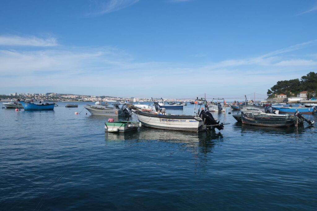
Far from mainstream mass tourism circuits, the region maintains a distinct identity forged over centuries by the necessity of connecting Setúbal with the sandy spit of Tróia and inland river ports. This amphibious connectivity combines the tradition of ancient sailing barges and cargo boats with the efficiency of modern ferries and catamarans navigating the protected waters of the Sado Estuary Natural Reserve. Each crossing reveals an ever-changing landscape where the horizon is punctuated by the silhouettes of fishing boats, traditional shipyard facilities, and the unmistakable presence of a resident population of bottlenose dolphins that uses the estuary as its permanent habitat.
The Port Genesis of Setúbal: Between Salt, Fish, and Atlantic Trade
The economic and demographic history of Setúbal is inextricably linked to its maritime waterfront. Dating back to Roman times, when the region served as a prosperous hub for salted fish and garum production, the natural port of the Sado has acted as an open gateway to ocean trade. The city’s historic docks not only facilitated the export of sea salt harvested from surrounding marshes but also structured an inland network where the canning industry and shipbuilding defined the urban layout and the hierarchy of maritime neighborhoods.
The development of these port infrastructures demanded a profound understanding of the local hydrographic regime. The access channels, vulnerable to constant sedimentation carried by river currents and tides, compelled navigators to develop sophisticated pilotage techniques. Stone quays, originally designed for shallow-draft vessels, gradually expanded to accommodate larger merchant fleets, cementing Setúbal as the second most important commercial port in the vicinity of the Tagus estuary, yet retaining a character distinctively tied to southern basin resources.
The Tróia Peninsula: From Fishing Refuge to Milestone of Insular Connectivity
On the opposite shore of the estuary rises the Tróia Peninsula, a slender sandbar acting as a natural barrier against the fury of the Atlantic. For centuries, this enclave was inhabited almost exclusively by seasonal fishers and workers dedicated to salt production. Its relative isolation from the mainland conferred upon the territory an ecological and logistical fragility that could only be overcome through the constant use of cabotage vessels. The scarcity of direct overland routes made the sea the only truly effective communicative artery for the peninsula.
Over time, the function of maritime transport in Tróia underwent a radical metamorphosis. The transition from a subsistence economy based on seasonal fishing to a model focused on residential and leisure tourism redefined navigation routes. Small rowboats and lateen-sailing craft that once crossed the channel gave way to fleets of ferries capable of carrying heavy vehicles and passengers on regular schedules. This evolutionary infrastructure reflects how amphibious connectivity is never static, dynamically adapting to the socio-economic demands of each era without losing sight of environmental limitations.
Traditional Naval Architecture: Sado Galleons and Ribera Carpentry
The floating heritage of the Sado constitutes one of the most fascinating chapters of Iberian maritime ethnography. Among the traditional vessels that once sailed these waters, Sado galleons and San Pedro boats stand out—flat-bottomed craft specifically designed to navigate the muddy shoals and capricious currents of the estuary. Their naval architecture responded to a purely functional need: maximizing cargo capacity for salt, cork, and charcoal while maintaining a minimal draft.
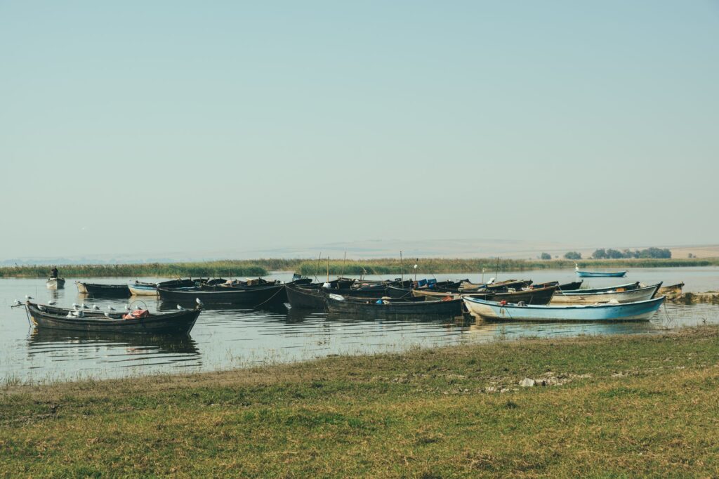
Traditional shipyards located along the estuary banks, though diminished in number today due to industrialization, preserved generations of rib-carpentry techniques passed down from parents to children. The selection of native hardwoods, fire-bending of frames, and caulking with oakum and pitch were meticulous processes demanding profound empirical mastery of naval physics. Preserving the memory and surviving hulls of these vessels represents a fundamental exercise today in understanding how humanity managed to master such a demanding aquatic environment.
The Ferry and Catamaran Network: The Contemporary Liquid Bridge
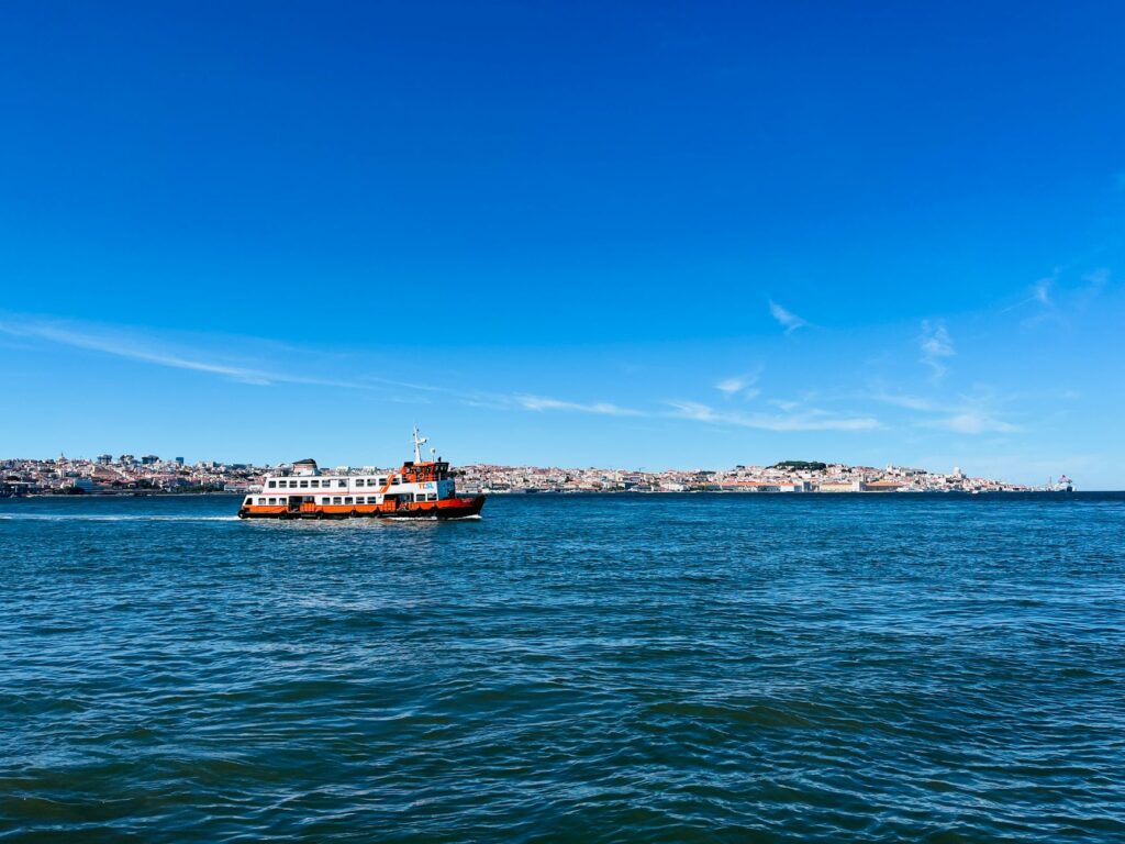
In the present day, daily mobility between Setúbal and Tróia relies on a continuous service of ferries and high-speed catamarans. This fluvial public transport system acts as a true liquid bridge, daily transporting thousands of workers, tourists, and residents who need to bridge the roughly five-kilometer expanse of water separating the two shores. Synchronizing these frequencies with land transport timetables on the mainland is a constant logistical challenge.
Docking operations at the Setúbal and Tróia terminals are dictated by tidal cycles, which can generate significant water level variations and complex crosscurrents. The captains of these vessels must maneuver with extreme precision in confined port spaces, demonstrating that estuary navigation requires a skill set vastly different from open-ocean voyaging. This service not only guarantees the region’s territorial cohesion but also constitutes a premier landscape experience for those gazing at the estuary from the deck.
«The Sado Estuary does not divide the land; it stitches it together through invisible threads of water, salt, and tide, where every vessel is an indispensable link in Portugal’s amphibious memory.»
The Natural Reserve and the Balance Between Commercial Navigation and Conservation
The Sado Estuary was declared a Natural Reserve in 1980 to protect its rich ecological heritage, encompassing vast salt marshes, intertidal zones vital for migratory birds, and the celebrated population of bottlenose dolphins (Tursiops truncatus). This designation marked a turning point in territorial management, forcing authorities to harmonize port traffic demands, fishing activities, and tourism transport with the strict preservation of natural habitats.
Commercial navigation and passenger routes are strictly regulated to prevent excessive acoustic pollution and the risk of collision with marine fauna. Furthermore, port authorities and tourism operators collaborate in environmental monitoring programs to assess the impact of watercraft on cetacean behavior. This delicate balance demonstrates that modern amphibious connectivity can coexist with ecological conservation provided rigorous regulations are enforced and a culture of respect toward the estuarine environment is fostered.
Submerged Heritage and Underwater Archaeology in the Waters of the Sado
The turbid, nutrient-rich waters of the Sado conceal beneath their surface a valuable underwater archaeological heritage. Over the centuries, accidental shipwrecks, cargo losses during complex port maneuvers, and the abandonment of obsolete vessels have littered the estuary floor with wrecks spanning from the Roman era to the industrial age. These material remains constitute silent historical archives documenting past trade routes and the technical hurdles of fluvial and maritime navigation.
Underwater archaeological survey campaigns conducted in the area have recovered rigging elements, amphorae ceramics, and wooden structures that complement written documentation preserved in municipal archives. Studying the estuary bed is equivalent to reading a sedimentary stratum where every rescued object narrates an episode of the ongoing struggle and symbiosis between humanity and the currents of the Sado.
Practical guide
Planning a journey focused on exploring the Sado Estuary requires an understanding of its fluvial rhythm and transportation connections. Below are the essential guidelines for exploring the territory with rigor:
How to get there: Setúbal is located about 50 kilometers south of Lisbon. It is accessible via the Fertagus commuter rail line or regional trains departing from Roma-Areeiro or Entrecampos stations. By car, the A2 motorway connects both cities in approximately 45 minutes.
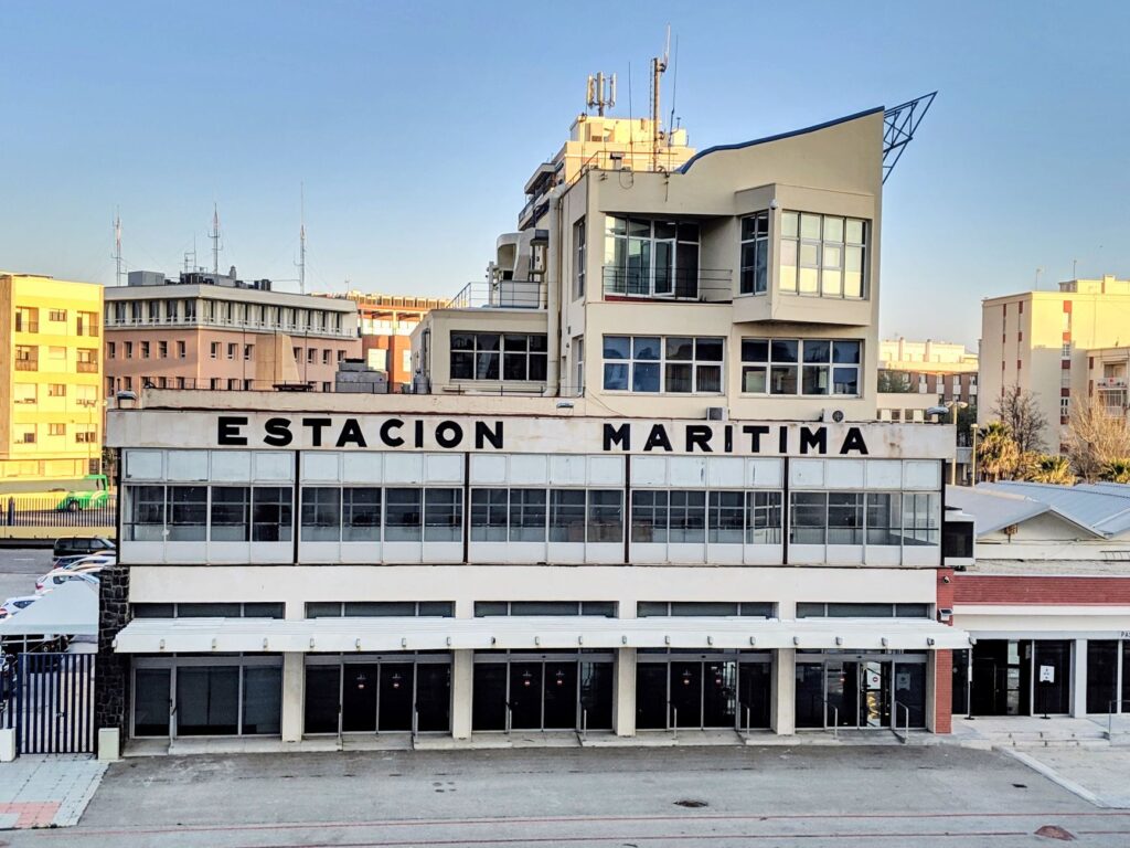
The ferry and catamaran crossing: Passenger and vehicle terminals are situated at the Setúbal dock (Dique do Comércio). Passenger catamarans operate with high frequency throughout the day toward Tróia, while vehicle ferries run regular schedules subject to weather and tidal conditions. It is recommended to check updated timetables on local operators’ official websites prior to travel.
Best time to visit: The spring months and early autumn offer optimal weather conditions, lower tourist congestion, and excellent visibility for birdwatching and dolphin spotting within the estuary.
Responsible cetacean watching: Boat excursions to observe bottlenose dolphins must be conducted exclusively with certified operators strictly adhering to the Sado Natural Reserve’s environmental code of conduct.
Local gastronomy: The estuary and its surroundings stand out for maritime cuisine where Setúbal-style fried cuttlefish (choco frito), locally cultivated oysters, and fresh estuary fish take center stage in traditional markets and restaurants.
Visual Epilogue at the Dockside at Sunset
As the sun begins its descent behind the industrial and salt-pan silhouettes of the northern shore, golden light bathes the calm waters of the Sado, transforming the estuary into a canvas of coppery and violet reflections. At the historic dock, the gentle lap of mooring lines against stone bollards accompanies the return of the final fishing boats and the distant whistle of the catamaran embarking on its last crossing toward the peninsula. In this moment suspended between daytime activity and nocturnal silence, the region reveals its true essence: a territory where the boundary between land and water blurs into an ancient choreography of tides, boats, and open horizons.
ATLAS LUME · BEFORE YOU GO
A story that continues at the destination
DocumentsCheck visas, health requirements and document validity with official sources.
BookingsConfirm the final price, taxes and conditions directly with the provider.
Responsible travelRespect local communities, heritage and ecosystems.