Introduction to the South Pacific Alpine Corridor
Connectivity across mountain ranges of high geological complexity represents one of the greatest challenges for modern civil engineering. In the southwestern corner of the Pacific, New Zealand’s South Island hosts one of the most extraordinary railway corridors on the planet: the TranzAlpine line. Operated by KiwiRail, this steel artery is not merely a tourist attraction for observers of remote landscapes, but a vital infrastructure defying the active tectonics of the Southern Alps (Kā Tiritiri o te Moana). Connecting the agricultural plains of Canterbury on the eastern coast with the timber and mineral ports of the west coast required overcoming titanic natural barriers, sparking a historical debate on the economic and logistical viability of crossing a vertical relief in constant transformation.
Understanding the operation of this route requires analyzing the millimetric harmony between contemporary railway technology and the extreme weather conditions of the Tasman Sea. Along its nominal two-and-a-half-hour journey between Christchurch and Greymouth, the trains climb through enclosed river valleys, glide through tunnels bored into living rock, and cross metal viaducts suspended over dizzying abysses. This report examines the evolution of mountain engineering in New Zealand, the preventive maintenance of tracks against landslides, and the complex intermodal logistics that keep human communication alive in one of the most geologically dynamic and isolated regions of the southern hemisphere.

Geological Genesis and the Topographical Challenge of the Southern Alps
The backbone of the South Island is defined by the Alpine Fault, a subduction and tectonic friction zone where the Pacific plate and the Indo-Australian plate collide head-on. This geological phenomenon lifts peaks exceeding three thousand meters in altitude, such as Aoraki or Mount Cook, creating an impassable wall of metamorphic rock, schist, and granite. For nineteenth-century planners, tracing a railway line capable of uniting the port of Lyttelton with the coal and gold deposits of the West Coast seemed an unattainable chimera. However, the pressing need to transport raw materials drove colonial engineers to project the Arthur’s Pass tunnel and the complex zigzag alignments that continue to astonish transport technicians today.
The orography imposes severe restrictions on the speed and payload capacity of the convoys. Steep gradients require the use of specific traction systems and rigorous control of regenerative braking to prevent overheating during descents toward the Waimakariri River basin. Slope stability constitutes the primary operational concern for maintenance teams. Heavy annual precipitation, occasionally exceeding five thousand millimeters on western slopes, causes severe erosion and sudden rockfalls onto the track bed. To mitigate this risk, KiwiRail deploys advanced geotechnical sensors and inspection patrols walking the most vulnerable sections prior to the departure of each scheduled service.

Railway Architecture: Historic Viaducts and the Otira Tunnel
The most significant construction milestone of the TranzAlpine route is located in the approach to the Arthur’s Pass gorge, where the terrain turns vertical. Here, engineers had to design metal structures capable of resisting not only the weight of class DX diesel-electric locomotives but also the furious gusts of katabatic winds descending from snowy peaks. The Staircase Viaduct, with its impressive cast-iron lattice supports erected in the late nineteenth century, remains a masterpiece of industrial engineering defying the void over a deep river canyon.
However, the crowning subterranean engineering achievement of the line is the Otira Tunnel. Spanning over eight and a half kilometers, this conduit excavated in the early twentieth century pierces the continental divide. Its initial construction required early electrification of the section to prevent the lethal accumulation of combustion gases inside, a system operating for decades until the introduction of diesel locomotives equipped with powerful air extractors and forced ventilation systems. The tunnel traverse plunges the traveler into absolute darkness for nearly fifteen minutes, evidencing the radical isolation separating both flanks of the New Zealand cordillera.
The railway is not merely a passenger transport duct; it is the umbilical cord keeping two opposing climatic and cultural realities united in less than two hundred kilometers of horizontal distance.
Operational Logistics and Rolling Stock in Extreme Environments
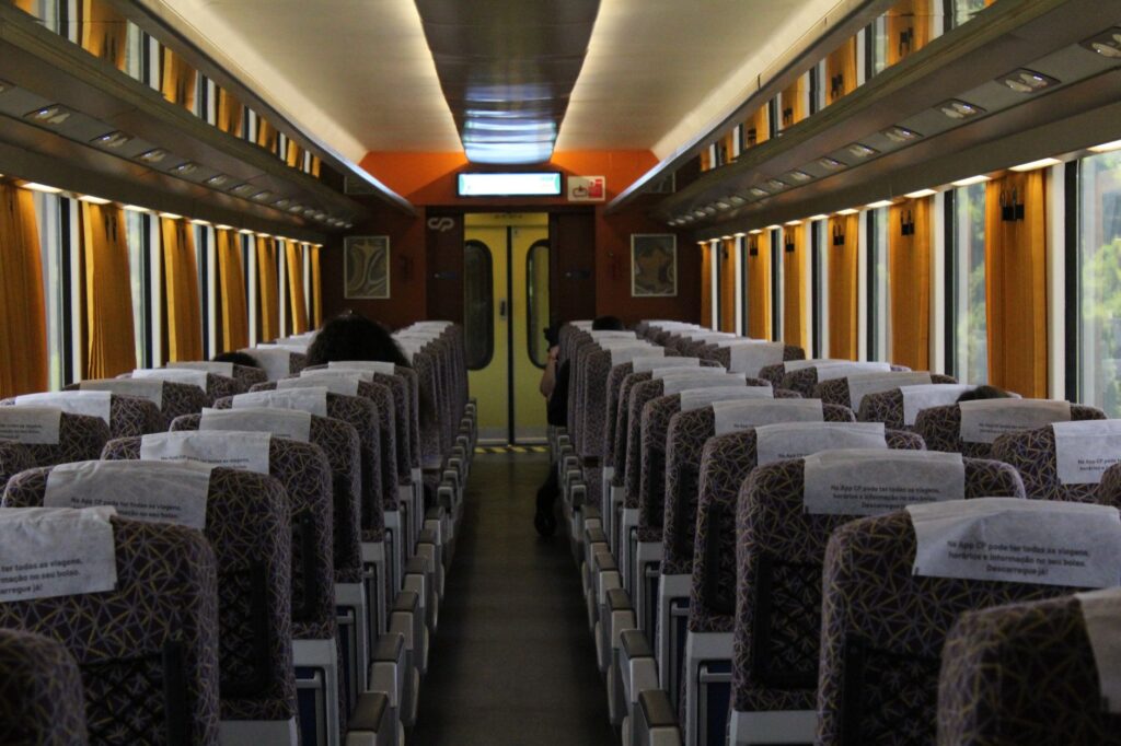
Operating a high-mountain railway line in Oceania requires a robust and highly specialized rolling stock fleet. The passenger carriages used in the TranzAlpine service have been specifically designed to maximize visual experience, incorporating large-surface panoramic windows, partially glass-paneled roofs, and a climate control system capable of countering both winter mountain freezes and the summer heat of the plains. Additionally, an open-air carriage is expressly dedicated to photography and direct environmental sound recording, a highly valued differential element for sound engineers and naturalists traveling the route.
From a logistical standpoint, schedule synchronization is millimetric. The track is single and shared bidirectionally, forcing trains to make programmed crossings at specific sidings located in remote stations such as Springfield or Arthur’s Pass. Traffic management is coordinated from a centralized control center located in Wellington, where operators monitor the satellite position of each convoy in real time. Any weather alteration—such as an unexpected snowfall blocking switches or the imminent risk of avalanches—triggers immediate suspension protocols and the deployment of heavy snow-clearing machinery.
Intermodal Integration: From Train to Maritime and Road Transport
The TranzAlpine corridor does not function in isolation; it forms part of a complex intermodal network connecting the eastern island’s logistical nodes with Tasman Sea maritime routes. In Christchurch, the central station connects via high-frequency shuttle buses with the International Airport and freight terminals distributing goods toward the port of Lyttelton. This fluidity allows travelers and small commercial shipments to transit seamlessly between international aviation infrastructure and the interior railway system.

At the western terminus, Greymouth acts as a nexus with the secondary road network penetrating the Paparoa National Park and West Coast glaciers. Although heavy bulk freight transport—principally coal and radiata pine timber—is predominantly handled by large-capacity trucks, the railway complements the logistics chain by absorbing seasonal demand peaks and decongesting winding mountain roads, reducing the global carbon footprint of transport in this fragile biosphere reserve.
Sustainability and Environmental Management in the Alpine Corridor
The railway’s passage through protected national parks and conservation reserves demands rigorous environmental commitment from the operating company. Waste management, embankment erosion control, and the prevention of forest fires caused by braking sparks are constant priorities on KiwiRail’s agenda. Furthermore, strict speed restrictions are enforced in critical areas inhabited by the kea, the world’s only alpine parrot, known for its curiosity toward stationary convoys.

Landscape conservation depends directly on balancing tourism flow with the preservation of native beech forests and tree fern ecosystems. The crystal-clear waters of the rivers accompanying the railway trace, such as the Waimakariri and Taramakau, undergo constant monitoring to detect potential hydrocarbon leaks from machinery. This preventive approach demonstrates that modern transport infrastructure can coexist with natural environments of incalculable ecological value provided strict environmental audit regulations are applied.
Practical guide
- Recommended route: Full journey between Christchurch Station (Addington) and the Greymouth terminus, lasting approximately 4 hours and 30 minutes each way.
- Operating frequency: Daily service during the summer months (October to April); reduced frequency to four days a week during the southern winter (May to September).
- Seat reservation: Booking tickets months in advance is essential due to high international demand and limited seating capacity in panoramic carriages.
- Luggage allowance: One checked bag up to 23 kilos and one carry-on item per passenger are permitted; strict restrictions apply to bulky camera equipment volumes in standard seating.
- Weather and clothing: Weather conditions in the Southern Alps change extremely rapidly. Thermal and waterproof layering is recommended even during summer months.
- Intermodal connectivity: Direct connection in Christchurch with the Metro urban bus network and local taxis; in Greymouth, coordinated connection with coach services toward the Fox and Franz Josef glaciers.
- Accessibility: Main carriages feature wheelchair access ramps and dedicated spaces, though any special assistance requirement must be notified at the time of booking.
Epilogue: The Echo of Metal in Glacial Silence
As the final convoy of the day descends serpentining toward the coastal plain of Westland, the metallic echo of wheels on steel rails quickly dissolves into the green vastness of temperate forests and the mist rising from the Tasman Sea. The TranzAlpine line transcends its purely utilitarian function to become an eloquent testimony of human tenacity against the colossal forces of geology. In an era dominated by the impersonal speed of commercial aviation, this railway corridor returns us to the unhurried rhythm of contemplation, allowing us to decipher, carriage by carriage, the complex invisible architecture keeping the vital arteries of an island sculpted by wind, rain, and tectonic fire connected.