
The vertical architecture of the abyss and planning challenges
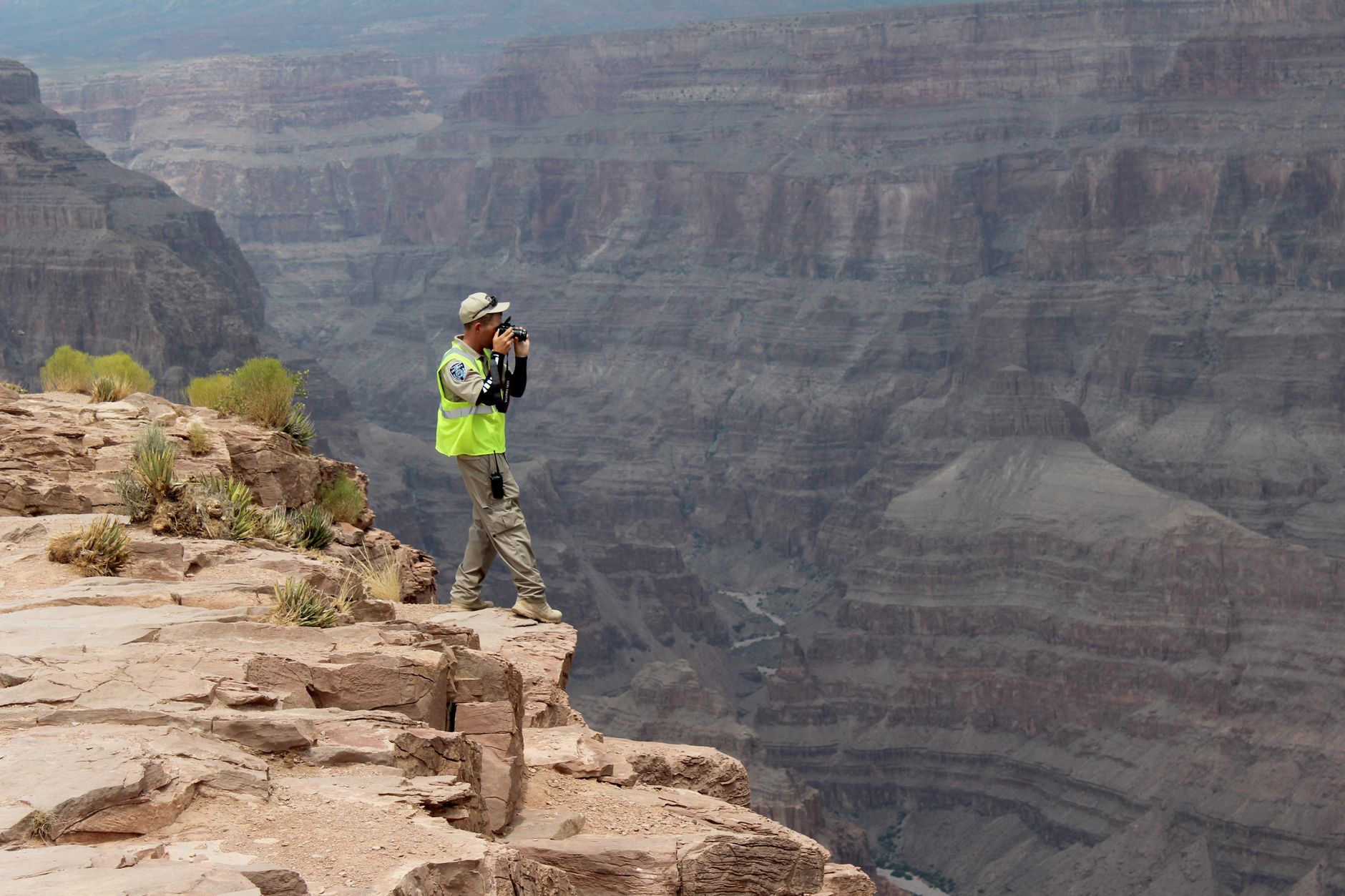
The Grand Canyon of the Colorado is not merely a geographical feature; it is a monumental stratigraphic archive where the Earth’s crust displays nearly two billion years of geological history. Undertaking a hiking expedition from the upper rims down to the banks of the Colorado River demands a level of logistical rigor that few long-distance routes on the planet require. The classic traverse linking the South Kaibab Trail with the Bright Angel Trail across the canyon floor represents a physical and mental challenge where the margin for operational error is practically nonexistent. The immensity of the landscape conceals an implacable reality: the altitude at the trailheads exceeds two thousand meters, while the riverbed sits less than eight hundred meters above sea level, generating cumulative elevation changes of staggering proportions.
Planning this expedition begins months in advance, primarily due to the strictly regulated backcountry permit system managed by the United States National Park Service. Demand far exceeds the carrying capacity of the official campgrounds at Bright Angel and Cottonwood, making the acquisition of a validated itinerary the very first major hurdle of the adventure. Expeditions must demonstrate a thorough understanding of local weather conditions, which vary drastically between the cool breeze of the ponderosa pine forests on the South Rim and the scorching desert-type heat that rules the canyon floor for much of the year.
Living geology: a descent through geological eras
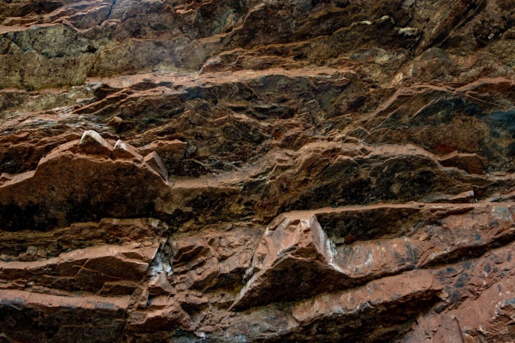
Every vertical kilometer of descent along the canyon trails equates to stepping back millions of years in geological time. From the upper layers of Kaibab limestone, replete with microscopic marine fossils testifying to an ancient ocean, down to the dark igneous and metamorphic rocks of the Vishnu Basement Rocks at the bottom, the terrain shifts in color, texture, and hardness with every switchback of the trail. This lithological diversity directly influences how the terrain reacts to erosion and, consequently, the structural stability of the hiking routes following seasonal storm events.
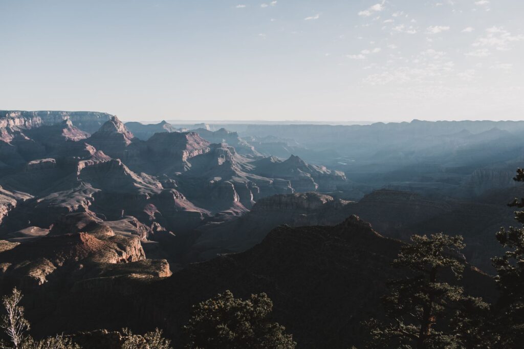
Understanding the geology of the terrain is not merely an aesthetic exercise for the curious traveler, but a fundamental safety tool. The layers of Tonto Shale, for instance, form relatively flat yet arid plateaus that act as thermal traps, relentlessly accumulating solar heat. Expert guides and experienced mountaineers use their knowledge of these formations to calculate marching times, avoiding exposure to peak ultraviolet radiation hours across sections where the rock acts as a reflective mirror.
The Grand Canyon is not conquered; it is crossed under its own rules, where respect for heat and distance is the sole guarantee of return.
Water management and thermal challenges at the bottom of the abyss
The critical factor determining the success or failure of any Grand Canyon expedition is water management and body thermoregulation. While the South Rim may experience cold temperatures or require warm clothing at dawn, the canyon floor—known as the Inner Gorge—frequently records temperatures exceeding forty degrees Celsius in the shade during the summer months. In this environment, dehydration and heatstroke represent real and constant threats to hikers.
The potable water infrastructures managed by the park undergo periodic maintenance and suffer unexpected outages due to the aging pipelines crossing the Colorado River. For this reason, no responsible hiker can begin the trek relying exclusively on trailside spigots. Carrying filtration systems and chemical purification gear is mandatory, alongside a water-carrying capacity that ensures at least four to five liters per person across high thermal-demand sections. Electrolyte replenishment must occur continuously to prevent hyponatremia, a severe disorder caused by excessive mineral salt loss through perspiration.
The anatomy of the trails: South Kaibab versus Bright Angel
Choosing the appropriate route defines the nature of the experience. The South Kaibab Trail descends along an exposed ridge offering 360-degree panoramic views from the very first moment. It lacks natural water sources along its entire length and provides no significant shade, making it a rapid yet unforgiving descent on hot days. Its profile is direct and steep, cutting through the rock with a steady grade that tests the endurance of knees and quadriceps.
In contrast, the Bright Angel Trail runs through a secondary canyon carved by a stream, offering more natural shade at certain times of day and featuring potable water stations at strategic points such as Indian Garden and the riverbanks. This duality allows expedition members to design loop routes or combined linear traverses, descending via one path and ascending via the other to diversify the landscape and optimize resupply logistics over consecutive days of trekking.
Wildlife and conservation ethics in the arid environment
Far from being a sterile desert, the Grand Canyon hosts a surprisingly rich biodiversity adapted to the extreme harshness of the climate. From the celebrated bighorn sheep that nimbly scale vertical cliff faces to smaller rodents like Abert’s squirrels in the upper forests, wildlife demands rigorous behavior from visitors. Ravens and skunks, habituated to human presence in campsites, represent a constant threat to provisions if these are not stored in rigid, certified containers.
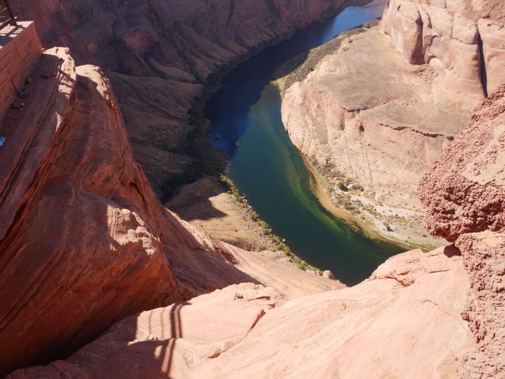
The conservation of this fragile ecosystem relies on the strict application of Leave No Trace principles. All solid waste generated during the expedition, including organic food scraps, must be packed out of the canyon in specific disposal bags. Erosion caused by heavy foot traffic forces park managers to temporarily close sections of trails to restore native plant cover and protect the archaeological sites of ancestral indigenous peoples scattered throughout the canyon.
Camp logistics and self-sufficiency at Phantom Ranch
At the very heart of the deep gorge, mere meters from the turbulent current of the Colorado River, lies Phantom Ranch, the historic oasis offering cabin lodging and limited canteen services. However, relying on its reserves for main meals requires winning a coveted lottery up to a year in advance. For the vast majority of expedition members, lodging takes place in the adjacent backpacker campgrounds, where every tent must be firmly guyed down due to unpredictable wind gusts blowing up the canyon.
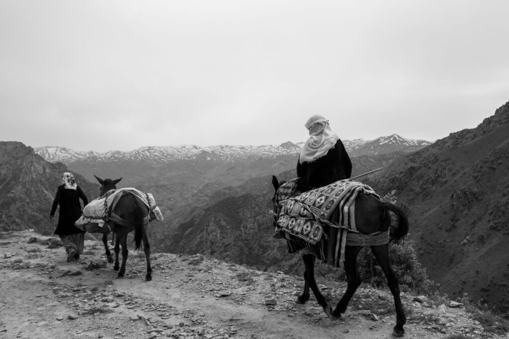
Expedition cooking in this setting relies on high-calorie freeze-dried foods that minimize pack weight. The use of ultralight gas stoves is permitted solely in designated areas, provided fire danger alerts allow it. Kitchen waste management and dishwashing must occur far away from natural water courses to prevent contamination of the scarce springs sustaining life at the bottom of the abyss.
Practical information for the expedition
Mandatory permits: Backcountry permit applications must be submitted through the official National Park Service portal four months in advance for the general season or via the early-access lottery system.
Recommended season: Optimal periods for the traverse span spring (March to May) and autumn (September to November), categorically avoiding June through August due to extreme temperatures.
Essential technical gear: High-traction mid-cut trekking boots, telescopic hiking poles to protect joints during the descent, UV or ceramic filtration water systems, powdered electrolytes, and a satellite communication device.
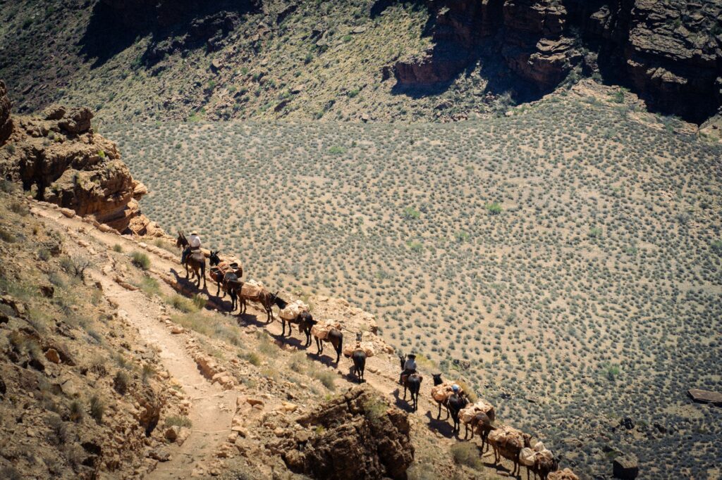
Trail golden rules: Uphill hikers always retain the right-of-way over those descending, and commercial mule pack trains take precedence over hikers on foot.
Visual finale of the abyss: emerging at sunset
Completing the climb back to the South Rim after conquering the canyon’s depths transforms the traveler’s perspective on time and space. The final evening light sets the sandstone walls ablaze with shades of red, ocher, and purple that seem to shift in intensity every second. In that moment of shared silence on the ledge, accumulated physical effort dissolves before the contemplation of an unquantifiable geological masterpiece continuing to carve itself, drop by drop, century after century, in the heart of the American continent.